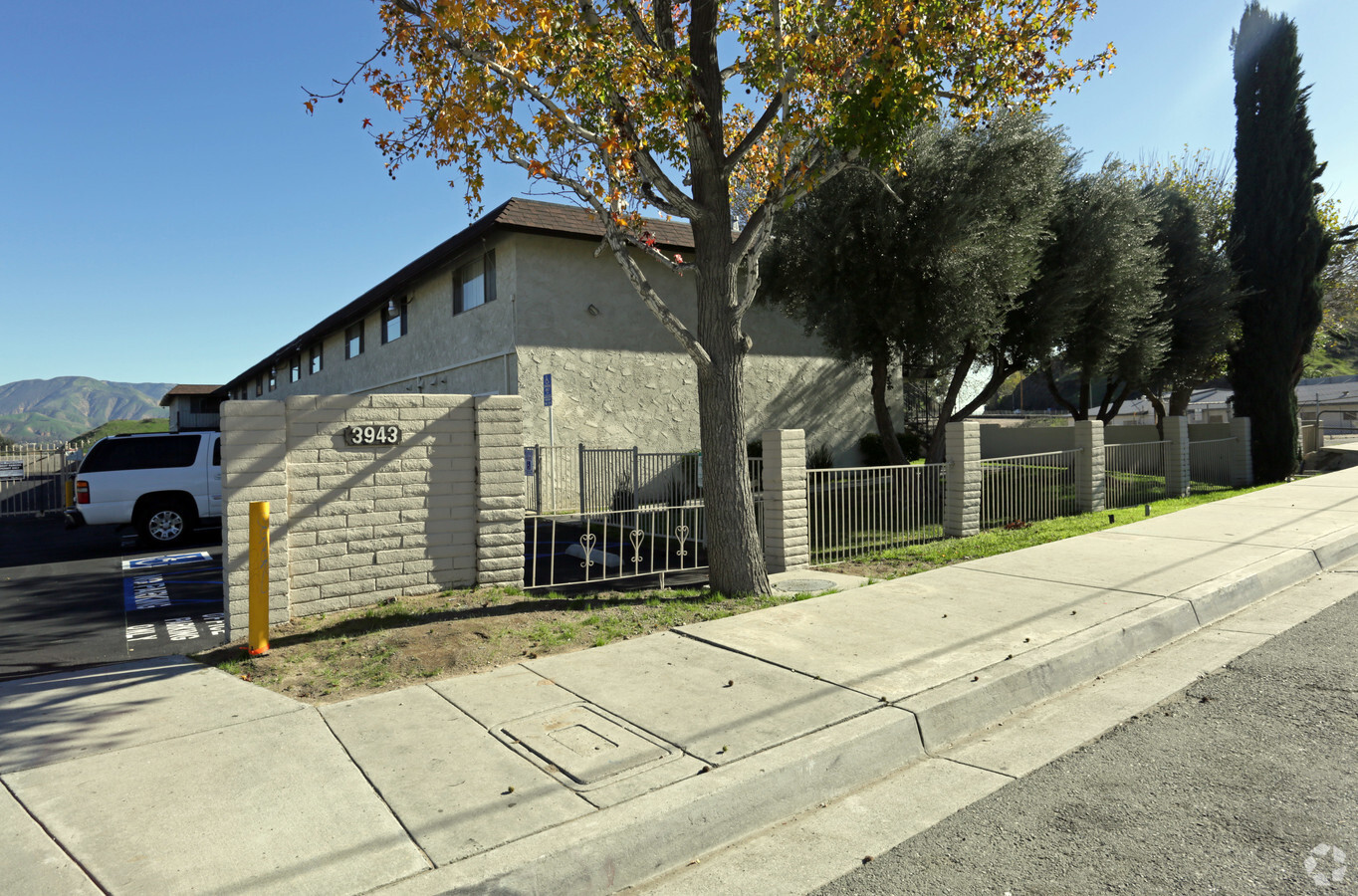
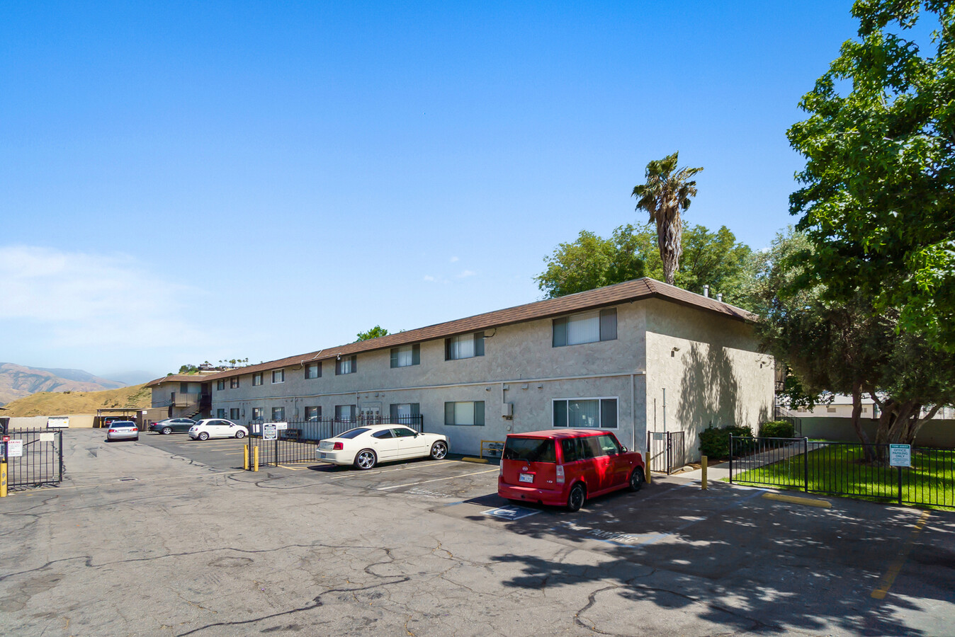
Property Record
3943 N H St, San Bernardino, CA 92407

NEARBY LISTINGS FOR SALE OR LEASE
Property Detail
3943 N H St
0151-181-03
Rancho Muscpiabe
Apartment
PTN NE 1/4 SEC 21 TP 1N R 4W COM 530 FT S OF INTERSECTION E LI 2ND AVE AND S LI C ST TH S TO NLY LI SB FLOOD CONTROL DISTRICT TH SELY TO PT 150 FT AT R/A ELY FROM E LI 2ND AVE TH N TO PT 530 FT S OF S LI C ST TH W TO POB EX ST
X
San Bernardino
06071C7945H
California
2023
0.53 AC
2024
Arrowhead
005102
Inland Empire (California)
26,672 SF
Riverside-San Bernardino-Ontario, CA
DEMOGRAPHICS near 3943 N H St
1 Mile
3 Mile
5 Mile
2024 Total Population
19,314
124,962
263,116
2029 Population
19,603
126,795
266,980
Pop Growth 2024-2029
+ 1.50%
+ 1.47%
+ 1.47%
Average Age
34
34
34
2024 Total Households
6,060
35,777
73,322
HH Growth 2024-2029
+ 1.50%
+ 1.48%
+ 1.53%
Median Household Inc
$58,337
$60,946
$59,763
Avg Household Size
3.10
3.40
3.40
2024 Avg HH Vehicles
2.00
2.00
2.00
Median Home Value
$361,887
$344,107
$347,173
Median Year Built
1964
1963
1968
Nearby Places
- Restaurants
- Banks
- Shops
- Fitness
- Groceries
PUBLIC TRANSPORTATION
COMMUTER RAIL
San Bernardino (Inland Empire-Orange County Line - Southern California Regional Rail Authority (Metrolink), San Bernardino Line - Southern California Regional Rail Authority (Metrolink))
Drive
Walk
Distance
San Bernardino (Inland Empire-Orange County Line - Southern California Regional Rail Authority (Metrolink), San Bernardino Line - Southern California Regional Rail Authority (Metrolink))
9 min
5.3 mi
San Bernardino - Downtown Metrolink Station (Metrolink Inland Empire-Orange County Line - Metrolink Trains, Metrolink San Bernardino Line - Metrolink Trains)
Drive
Walk
Distance
San Bernardino - Downtown Metrolink Station (Metrolink Inland Empire-Orange County Line - Metrolink Trains, Metrolink San Bernardino Line - Metrolink Trains)
10 min
5.7 mi
AIRPORT
Ontario International
Drive
Walk
Distance
Ontario International
33 min
23.2 mi
Freight Ports
Port of Long Beach
Drive
Walk
Distance
Port of Long Beach
89 min
71.2 mi
SALE & LEASE HISTORY
LISTING DATE
SALE/LEASE

Aug 06, 2021
For Sale
Nearby Properties
Address
Land Use
TOTAL SIZE
Lot Size
Zoning
Address
Land Use
TOTAL SIZE
Lot Size
Zoning
778653
19.31 AC
Address
Land Use
TOTAL SIZE
Lot Size
Zoning
379299
19.97 AC
Address
Land Use
TOTAL SIZE
Lot Size
Zoning
801377
20.81 AC
Address
Land Use
TOTAL SIZE
Lot Size
Zoning
214534
17.98 AC
Address
Land Use
TOTAL SIZE
Lot Size
Zoning
160196
18.55 AC
Address
Land Use
TOTAL SIZE
Lot Size
Zoning
277822
13.65 AC
Address
Land Use
TOTAL SIZE
Lot Size
Zoning
16.08 AC
GHSP
Address
Land Use
TOTAL SIZE
Lot Size
Zoning
354108
16.93 AC
Address
Land Use
TOTAL SIZE
Lot Size
Zoning
248368
19.34 AC
Address
Land Use
TOTAL SIZE
Lot Size
Zoning
340057
14.43 AC
Address
Land Use
TOTAL SIZE
Lot Size
Zoning
158804
5.63 AC
Address
Land Use
TOTAL SIZE
Lot Size
Zoning
272408
18.41 AC
Address
Land Use
TOTAL SIZE
Lot Size
Zoning
152714
9.99 AC
Address
Land Use
TOTAL SIZE
Lot Size
Zoning
254500
11.58 AC
Address
Land Use
TOTAL SIZE
Lot Size
Zoning
150200
10.08 AC
Address
Land Use
TOTAL SIZE
Lot Size
Zoning
448460
24.10 AC
Address
Land Use
TOTAL SIZE
Lot Size
Zoning
55432
5.31 AC
Address
Land Use
TOTAL SIZE
Lot Size
Zoning
Address
Land Use
TOTAL SIZE
Lot Size
Zoning
191216
10.28 AC
Address
Land Use
TOTAL SIZE
Lot Size
Zoning
137200
10.07 AC
Address
Land Use
TOTAL SIZE
Lot Size
Zoning
135000
8.62 AC
Address
Land Use
TOTAL SIZE
Lot Size
Zoning
173958
4.88 AC
Address
Land Use
TOTAL SIZE
Lot Size
Zoning
254174
7.05 AC
GHSP
Address
Land Use
TOTAL SIZE
Lot Size
Zoning
138474
10.55 AC
Address
Land Use
TOTAL SIZE
Lot Size
Zoning
154590
7.12 AC
Address
Land Use
TOTAL SIZE
Lot Size
Zoning
197100
7.59 AC
Address
Land Use
TOTAL SIZE
Lot Size
Zoning
217418
7.45 AC
Address
Land Use
TOTAL SIZE
Lot Size
Zoning
73864
5.44 AC
R1
Address
Land Use
TOTAL SIZE
Lot Size
Zoning
153090
9.52 AC
Address
Land Use
TOTAL SIZE
Lot Size
Zoning
173958
4.20 AC
Start a new search to find other properties for sale or lease
Connect with us
© 2024 CoStar Group
The information above has been obtained from sources believed reliable. While we do not doubt its accuracy we have not verified it and make no guarantee, warranty or representation about it. It is your responsibility to independently confirm its accuracy and completeness. Any projections, opinions, assumptions, or estimates used are for example only and do not represent the current or future performance of the property. The value of this transaction to you depends on tax and other factors which should be evaluated by your tax, financial, and legal advisors. You and your advisors should conduct a careful, independent investigation of the property to determine to your satisfaction the suitability of the property for your needs.