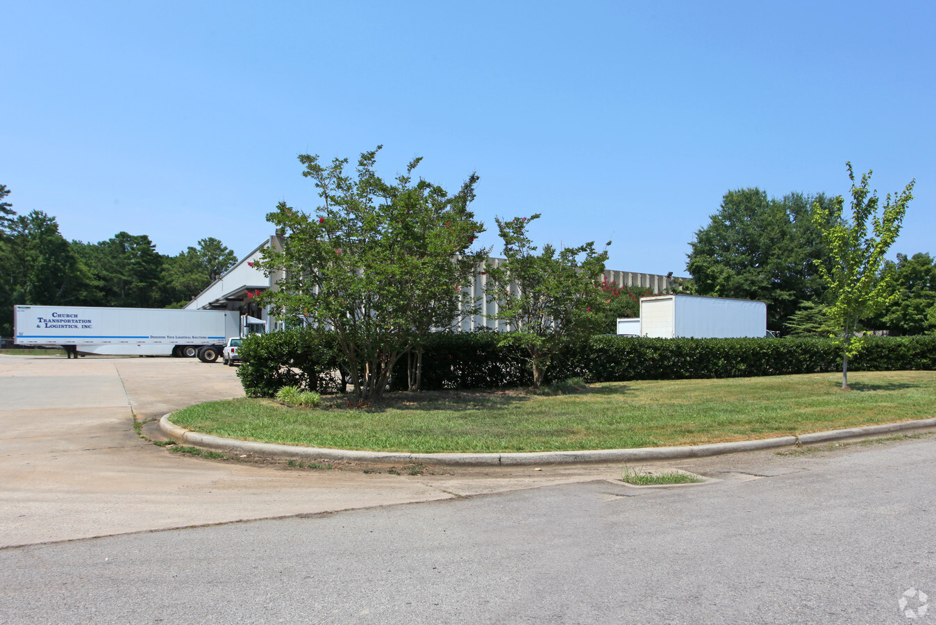
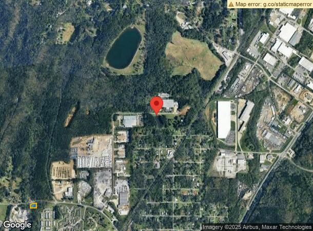
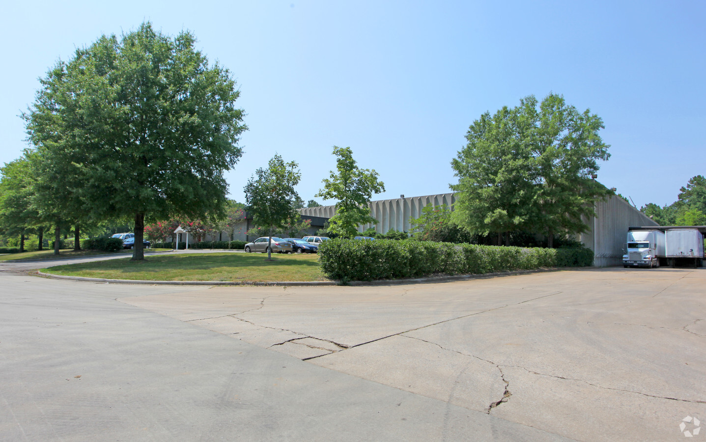
Property Record
3950 Industrial Pky, Birmingham, AL 35217
NEARBY LISTINGS FOR SALE OR LEASE
Property Detail
3950 Industrial Pky
13-00-28-1-001-035.501
LAND AND BLDG ONLY:BEG NW COR OF NW1/4 OF NW1/4 OF NE1/4 SEC 28 T16S R2W TH E 1745 FT TH SELY 217 FT TO NWLY LINE OF 100 FT RR R/W TH SW ALG SD RR 710FT TO A POINT OF N/L OF SUB TH W 1015 FT TH N 377.5 FT TH W 366.4 FT TH W 390.4 FT TH SW 124.3 FT TH
Lightindustrial
Jefferson
X
Alabama
01073C0401H
29 AC
2023
Fultondale
2024
Birmingham
0119012013
Birmingham-Hoover, AL
64,890 SF
DEMOGRAPHICS near 3950 Industrial Pky
1 Mile
3 Mile
5 Mile
2024 Total Population
2,138
22,787
90,193
2029 Population
2,136
22,390
89,150
Pop Growth 2024-2029
(0.09%)
(1.74%)
(1.16%)
Average Age
42
39
38
2024 Total Households
957
8,687
34,840
HH Growth 2024-2029
(0.31%)
(1.80%)
(1.26%)
Median Household Inc
$35,864
$49,688
$46,146
Avg Household Size
2.20
2.50
2.50
2024 Avg HH Vehicles
2.00
2.00
2.00
Median Home Value
$130,705
$151,667
$140,092
Median Year Built
1979
1974
1971
Nearby Places
- Restaurants
- Banks
- Shops
- Fitness
- Groceries
PUBLIC TRANSPORTATION
COMMUTER RAIL
Birmingham (Crescent - Amtrak)
DRIVE
WALK
Distance
Birmingham (Crescent - Amtrak)
18 min
9.6 mi
AIRPORT
Birmingham-Shuttlesworth International
DRIVE
WALK
Distance
Birmingham-Shuttlesworth International
17 min
9.0 mi
Freight Ports
Port of Mobile
DRIVE
WALK
Distance
Port of Mobile
296 min
265.5 mi
Nearby Properties
Address
Land Use
TOTAL SIZE
Lot Size
Zoning
Address
Land Use
TOTAL SIZE
Lot Size
Zoning
725,840 SF
89 AC
CM2
Address
Land Use
TOTAL SIZE
Lot Size
Zoning
284,402 SF
22.50 AC
I4
Address
Land Use
TOTAL SIZE
Lot Size
Zoning
623,200 SF
50 AC
CM2
Address
Land Use
TOTAL SIZE
Lot Size
Zoning
218,922 SF
21 AC
CR5
Address
Land Use
TOTAL SIZE
Lot Size
Zoning
412,320 SF
16.50 AC
I2
Address
Land Use
TOTAL SIZE
Lot Size
Zoning
118,522 SF
7.80 AC
I4
Address
Land Use
TOTAL SIZE
Lot Size
Zoning
92,560 SF
15.36 AC
I4
Address
Land Use
TOTAL SIZE
Lot Size
Zoning
224,072 SF
16 AC
I2
Address
Land Use
TOTAL SIZE
Lot Size
Zoning
148,245 SF
9.30 AC
CR5
Address
Land Use
TOTAL SIZE
Lot Size
Zoning
115,490 SF
3.88 AC
R2
Address
Land Use
TOTAL SIZE
Lot Size
Zoning
33,956 SF
2.54 AC
R1
Address
Land Use
TOTAL SIZE
Lot Size
Zoning
116,759 SF
6.10 AC
CR5
Address
Land Use
TOTAL SIZE
Lot Size
Zoning
66,043 SF
13.08 AC
B2
Address
Land Use
TOTAL SIZE
Lot Size
Zoning
163,790 SF
18 AC
I-4
Address
Land Use
TOTAL SIZE
Lot Size
Zoning
179,464 SF
17.70 AC
M3
Address
Land Use
TOTAL SIZE
Lot Size
Zoning
340,000 SF
29 AC
I4
Address
Land Use
TOTAL SIZE
Lot Size
Zoning
257,988 SF
CM2
Address
Land Use
TOTAL SIZE
Lot Size
Zoning
84,602 SF
11.20 AC
B2
Address
Land Use
TOTAL SIZE
Lot Size
Zoning
100,788 SF
17 AC
I2
Address
Land Use
TOTAL SIZE
Lot Size
Zoning
182,751 SF
8.10 AC
I4
Address
Land Use
TOTAL SIZE
Lot Size
Zoning
86,240 SF
104 AC
CM2
Address
Land Use
TOTAL SIZE
Lot Size
Zoning
70,590 SF
9.90 AC
M1
Address
Land Use
TOTAL SIZE
Lot Size
Zoning
158,835 SF
9.50 AC
I-4
Address
Land Use
TOTAL SIZE
Lot Size
Zoning
244,800 SF
CM2
Address
Land Use
TOTAL SIZE
Lot Size
Zoning
24,558 SF
1.77 AC
B-2
Address
Land Use
TOTAL SIZE
Lot Size
Zoning
57,364 SF
4.58 AC
B-2
Address
Land Use
TOTAL SIZE
Lot Size
Zoning
121,440 SF
11.60 AC
M-2
Address
Land Use
TOTAL SIZE
Lot Size
Zoning
76,000 SF
7.30 AC
M-3
Address
Land Use
TOTAL SIZE
Lot Size
Zoning
106,452 SF
7.40 AC
M-3
The World's #1 Commercial Real Estate Marketplace
Connect with us
© 2025 CoStar Group
The information above has been obtained from sources believed reliable. While we do not doubt its accuracy we have not verified it and make no guarantee, warranty or representation about it. It is your responsibility to independently confirm its accuracy and completeness. Any projections, opinions, assumptions, or estimates used are for example only and do not represent the current or future performance of the property. The value of this transaction to you depends on tax and other factors which should be evaluated by your tax, financial, and legal advisors. You and your advisors should conduct a careful, independent investigation of the property to determine to your satisfaction the suitability of the property for your needs.