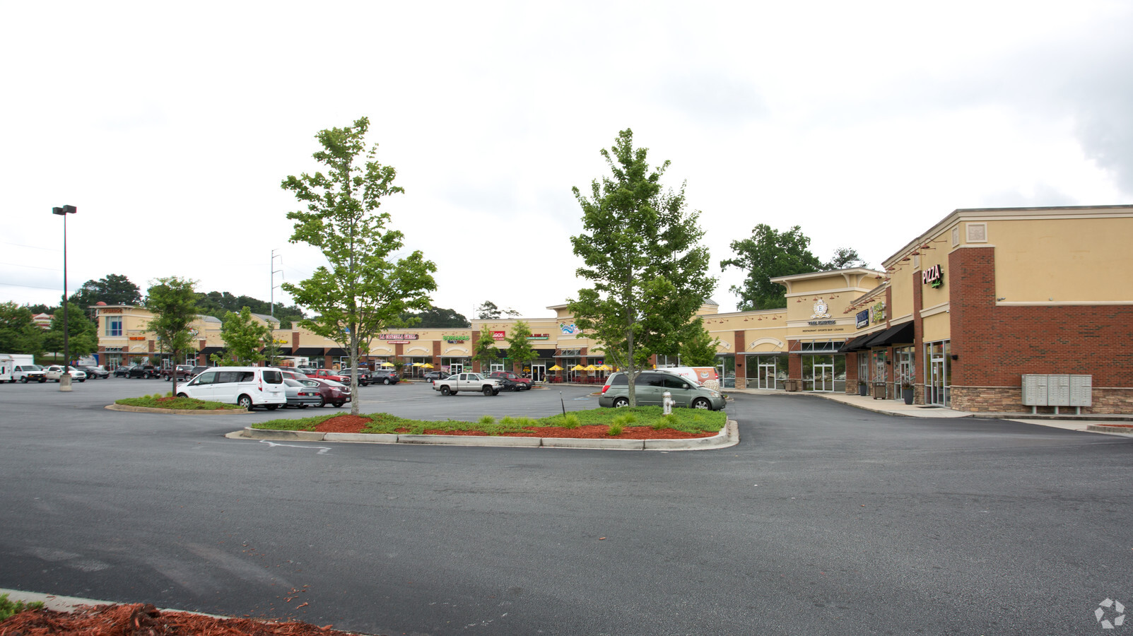
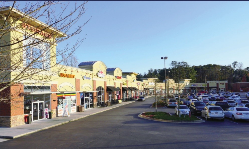
Property Record
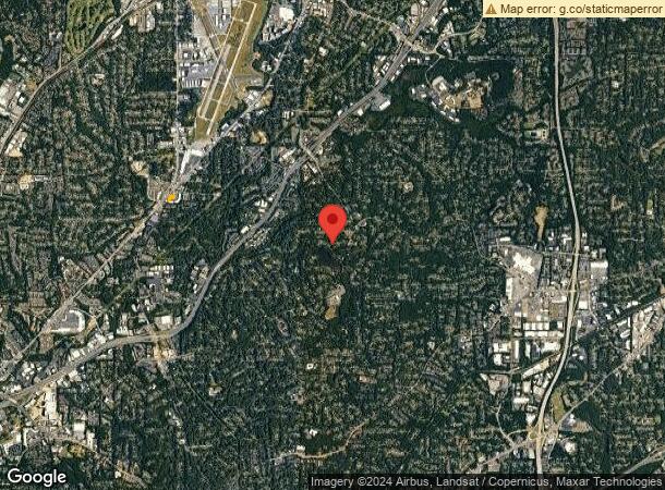
3971 Buford Hwy Ne, Atlanta, GA 30345

NEARBY LISTINGS FOR SALE OR LEASE
Property Detail
3971 Buford Hwy Ne
Restaurantdrivein
DeKalb
X
Georgia
13089C0056K
0.70 AC
2023
Buckhead/Lenox
2023
Atlanta
021608
Atlanta-Sandy Springs-Roswell, GA
3,333 SF
18-236-05-029
DEMOGRAPHICS near 3971 Buford Hwy Ne
1 Mile
3 Mile
5 Mile
2024 Total Population
19,158
119,171
323,138
2029 Population
19,101
119,222
325,982
Pop Growth 2024-2029
(0.30%)
+ 0.04%
+ 0.88%
Average Age
33
37
38
2024 Total Households
7,434
51,774
147,781
HH Growth 2024-2029
(0.36%)
+ 0.12%
+ 1.18%
Median Household Inc
$83,094
$99,450
$93,242
Avg Household Size
2.50
2.20
2.10
2024 Avg HH Vehicles
2.00
2.00
2.00
Median Home Value
$464,108
$511,533
$482,278
Median Year Built
1978
1987
1988
Nearby Places
- Restaurants
- Banks
- Shops
- Fitness
- Groceries
PUBLIC TRANSPORTATION
COMMUTER RAIL
Atlanta (Crescent - Amtrak)
DRIVE
WALK
Distance
Atlanta (Crescent - Amtrak)
14 min
8.3 mi
AIRPORT
Hartsfield - Jackson Atlanta International
DRIVE
WALK
Distance
Hartsfield - Jackson Atlanta International
32 min
21.1 mi
Freight Ports
Georgia Ports - Savannah
DRIVE
WALK
Distance
Georgia Ports - Savannah
290 min
257.5 mi
SALE & LEASE HISTORY
LISTING DATE
SALE/LEASE

Sep 25, 2016
For Lease
Oct 15, 2019
For Lease
Nov 06, 2018
For Sale
May 26, 2017
For Sale
May 14, 2018
For Sale
Feb 04, 2019
For Lease
Nearby Properties
Address
Land Use
TOTAL SIZE
Lot Size
Zoning
Address
Land Use
TOTAL SIZE
Lot Size
Zoning
12,600 SF
508.30 AC
M
Address
Land Use
TOTAL SIZE
Lot Size
Zoning
432,424 SF
3.90 AC
MC
Address
Land Use
TOTAL SIZE
Lot Size
Zoning
345,125 SF
7.73 AC
C1
Address
Land Use
TOTAL SIZE
Lot Size
Zoning
338,478 SF
12.40 AC
OI
Address
Land Use
TOTAL SIZE
Lot Size
Zoning
457,330 SF
21 AC
RM-HD
Address
Land Use
TOTAL SIZE
Lot Size
Zoning
729,294 SF
0.01 AC
X
Address
Land Use
TOTAL SIZE
Lot Size
Zoning
157,133 SF
6.20 AC
M
Address
Land Use
TOTAL SIZE
Lot Size
Zoning
267,983 SF
13.40 AC
X
Address
Land Use
TOTAL SIZE
Lot Size
Zoning
357,531 SF
11.20 AC
RM75
Address
Land Use
TOTAL SIZE
Lot Size
Zoning
431,259 SF
48.80 AC
RM100
Address
Land Use
TOTAL SIZE
Lot Size
Zoning
82,944 SF
3.20 AC
R75
Address
Land Use
TOTAL SIZE
Lot Size
Zoning
213,408 SF
6.40 AC
I1
Address
Land Use
TOTAL SIZE
Lot Size
Zoning
257,989 SF
12.30 AC
OI
Address
Land Use
TOTAL SIZE
Lot Size
Zoning
70,929 SF
6.64 AC
C1: LOCAL
Address
Land Use
TOTAL SIZE
Lot Size
Zoning
166,663 SF
8.60 AC
X
Address
Land Use
TOTAL SIZE
Lot Size
Zoning
228,504 SF
12.80 AC
M
Address
Land Use
TOTAL SIZE
Lot Size
Zoning
259,834 SF
3.56 AC
OI
Address
Land Use
TOTAL SIZE
Lot Size
Zoning
355,421 SF
7.20 AC
X
Address
Land Use
TOTAL SIZE
Lot Size
Zoning
82,944 SF
3.40 AC
X
Address
Land Use
TOTAL SIZE
Lot Size
Zoning
185,066 SF
25.20 AC
O-1
Address
Land Use
TOTAL SIZE
Lot Size
Zoning
297,996 SF
2.80 AC
M
Address
Land Use
TOTAL SIZE
Lot Size
Zoning
258,864 SF
15.40 AC
RM75
Address
Land Use
TOTAL SIZE
Lot Size
Zoning
213,410 SF
21.90 AC
O-1
Address
Land Use
TOTAL SIZE
Lot Size
Zoning
221,780 SF
23.50 AC
RM75
Address
Land Use
TOTAL SIZE
Lot Size
Zoning
169,005 SF
11.80 AC
O-1
Address
Land Use
TOTAL SIZE
Lot Size
Zoning
377,506 SF
8.90 AC
X
Address
Land Use
TOTAL SIZE
Lot Size
Zoning
181,476 SF
13.40 AC
RM75
Address
Land Use
TOTAL SIZE
Lot Size
Zoning
170,026 SF
7.40 AC
RM75
Address
Land Use
TOTAL SIZE
Lot Size
Zoning
220,243 SF
7.20 AC
RM75
Address
Land Use
TOTAL SIZE
Lot Size
Zoning
179,762 SF
5.10 AC
C1
The World's #1 Commercial Real Estate Marketplace
Connect with us
© 2025 CoStar Group
The information above has been obtained from sources believed reliable. While we do not doubt its accuracy we have not verified it and make no guarantee, warranty or representation about it. It is your responsibility to independently confirm its accuracy and completeness. Any projections, opinions, assumptions, or estimates used are for example only and do not represent the current or future performance of the property. The value of this transaction to you depends on tax and other factors which should be evaluated by your tax, financial, and legal advisors. You and your advisors should conduct a careful, independent investigation of the property to determine to your satisfaction the suitability of the property for your needs.