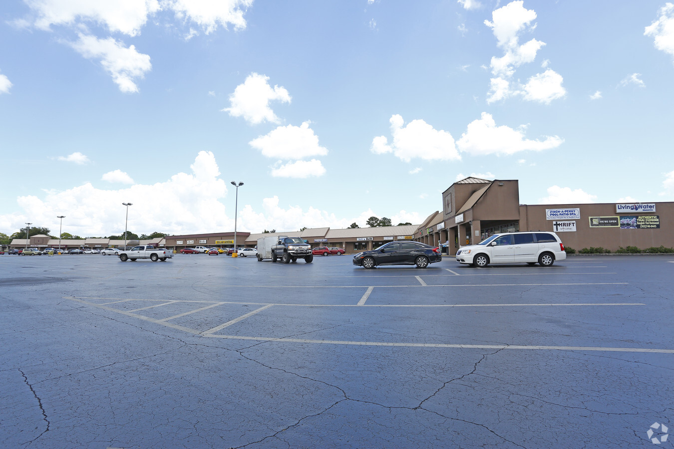
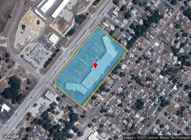
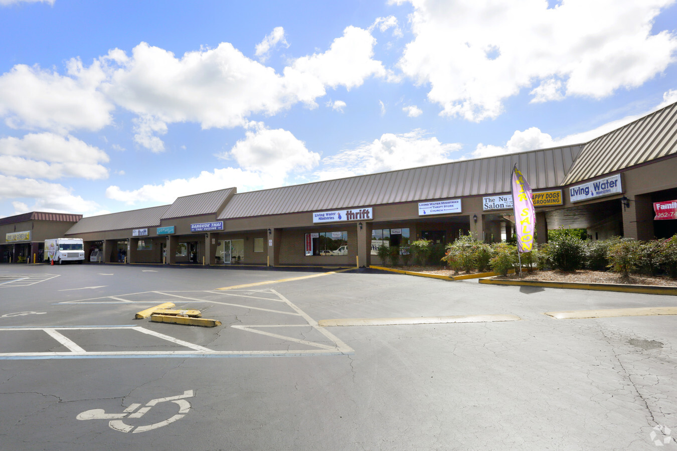
Property Record
3993 N Lecanto Hwy, Beverly Hills, FL 34465

NEARBY LISTINGS FOR SALE OR LEASE
Property Detail
3993 N Lecanto Hwy
Homosassa Springs, FL
Unrec Tracts In 11-18S-18E
18E-18S-11-0000-22000
COM AT S COR OF LT 28 BLK 41 BEVERLY HILLS UNIT 4 TH N 51 DEG W AL SWLY LN OF SD LOT 28 & NWLY PROJ 125 FT TO POB BEING ON NELY R/W LN OF ROOSEVELT BLVD TH N 51 DEG W AL S D R/W LN 425 FT TO PT ON SELY R/W LN CR 491 TH N 39 DEG E AL SELY R/W LN 800 F
Regionalshoppingcenterormallwithanchorstore
Citrus
X
Florida
12017C0212D
28
2023
7.78 AC
2024
Florida Central North Area
450202
Other Market Areas
72,869 SF
DEMOGRAPHICS near 3993 N Lecanto Hwy
1 Mile
3 Mile
5 Mile
2024 Total Population
6,996
25,768
47,184
2029 Population
7,846
29,198
53,549
Pop Growth 2024-2029
+ 12.15%
+ 13.31%
+ 13.49%
Average Age
46
54
52
2024 Total Households
3,178
11,743
20,839
HH Growth 2024-2029
+ 11.80%
+ 13.06%
+ 13.21%
Median Household Inc
$37,191
$50,936
$55,876
Avg Household Size
2.20
2.10
2.20
2024 Avg HH Vehicles
2.00
2.00
2.00
Median Home Value
$117,212
$237,715
$241,232
Median Year Built
1977
1993
1994
Nearby Places
- Restaurants
- Banks
- Shops
- Fitness
- Groceries
SALE & LEASE HISTORY
LISTING DATE
SALE/LEASE

Sep 25, 2016
For Lease
Nearby Properties
Address
Land Use
TOTAL SIZE
Lot Size
Zoning
Address
Land Use
TOTAL SIZE
Lot Size
Zoning
840,664 SF
6.64 AC
PDR
Address
Land Use
TOTAL SIZE
Lot Size
Zoning
901,824 SF
14.37 AC
GNC
Address
Land Use
TOTAL SIZE
Lot Size
Zoning
114,484 SF
20.07 AC
PDR
Address
Land Use
TOTAL SIZE
Lot Size
Zoning
66,513 SF
31.85 AC
PSI
Address
Land Use
TOTAL SIZE
Lot Size
Zoning
167,220 SF
9.09 AC
GNC
Address
Land Use
TOTAL SIZE
Lot Size
Zoning
300,060 SF
8.74 AC
PDR
Address
Land Use
TOTAL SIZE
Lot Size
Zoning
178,134 SF
10.77 AC
PDR
Address
Land Use
TOTAL SIZE
Lot Size
Zoning
447,538 SF
7.06 AC
PDR
Address
Land Use
TOTAL SIZE
Lot Size
Zoning
53,425 SF
5.18 AC
PDR
Address
Land Use
TOTAL SIZE
Lot Size
Zoning
345,488 SF
5.87 AC
PDR
Address
Land Use
TOTAL SIZE
Lot Size
Zoning
42,134 SF
4.52 AC
GNC
Address
Land Use
TOTAL SIZE
Lot Size
Zoning
13,025 SF
1.93 AC
PDR
Address
Land Use
TOTAL SIZE
Lot Size
Zoning
164,940 SF
10.36 AC
PDR
Address
Land Use
TOTAL SIZE
Lot Size
Zoning
155,752 SF
32.74 AC
PDR
Address
Land Use
TOTAL SIZE
Lot Size
Zoning
67,422 SF
4.01 AC
GNC
Address
Land Use
TOTAL SIZE
Lot Size
Zoning
76,562 SF
212.56 AC
PDR
Address
Land Use
TOTAL SIZE
Lot Size
Zoning
16,036 SF
2.42 AC
GNC
Address
Land Use
TOTAL SIZE
Lot Size
Zoning
13,577 SF
2.25 AC
PDR
Address
Land Use
TOTAL SIZE
Lot Size
Zoning
16,795 SF
1.84 AC
PDR
Address
Land Use
TOTAL SIZE
Lot Size
Zoning
17,844 SF
1.65 AC
GNC
Address
Land Use
TOTAL SIZE
Lot Size
Zoning
49,528 SF
5.77 AC
MDR
Address
Land Use
TOTAL SIZE
Lot Size
Zoning
58,114 SF
6.49 AC
MDR
Address
Land Use
TOTAL SIZE
Lot Size
Zoning
108,617 SF
7.59 AC
PDR
Address
Land Use
TOTAL SIZE
Lot Size
Zoning
20,492 SF
5.02 AC
PDR
Address
Land Use
TOTAL SIZE
Lot Size
Zoning
73,037 SF
10.88 AC
GNC
Address
Land Use
TOTAL SIZE
Lot Size
Zoning
17,496 SF
6.61 AC
PDR
Address
Land Use
TOTAL SIZE
Lot Size
Zoning
124,385 SF
10.16 AC
PDR
Address
Land Use
TOTAL SIZE
Lot Size
Zoning
77,129 SF
2.84 AC
GNC
Address
Land Use
TOTAL SIZE
Lot Size
Zoning
11.45 AC
GNC
The World's #1 Commercial Real Estate Marketplace
Connect with us
© 2025 CoStar Group
The information above has been obtained from sources believed reliable. While we do not doubt its accuracy we have not verified it and make no guarantee, warranty or representation about it. It is your responsibility to independently confirm its accuracy and completeness. Any projections, opinions, assumptions, or estimates used are for example only and do not represent the current or future performance of the property. The value of this transaction to you depends on tax and other factors which should be evaluated by your tax, financial, and legal advisors. You and your advisors should conduct a careful, independent investigation of the property to determine to your satisfaction the suitability of the property for your needs.