Property Record
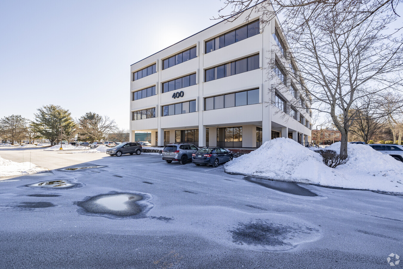
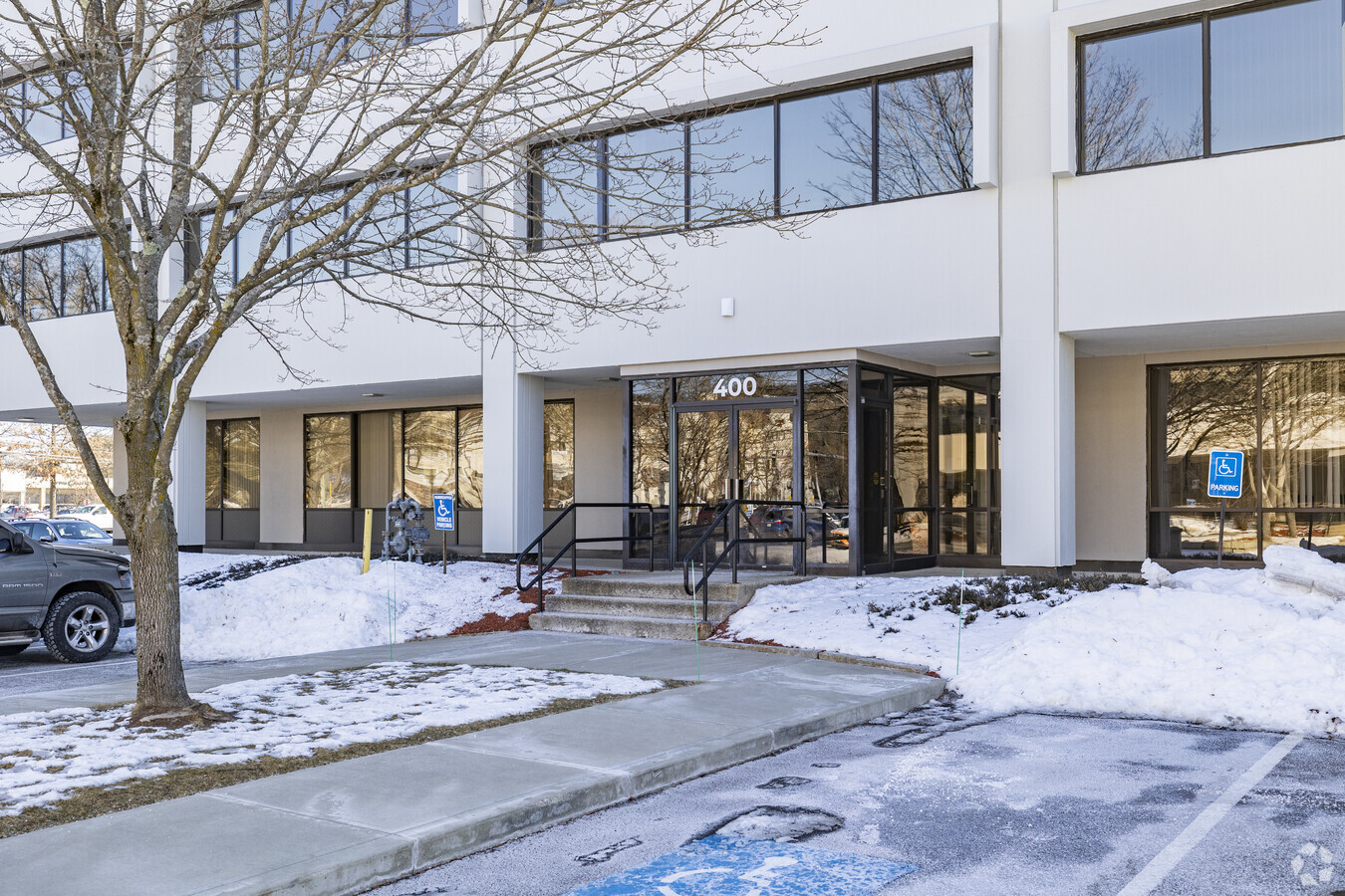
400 Amherst St, Nashua, NH 03063
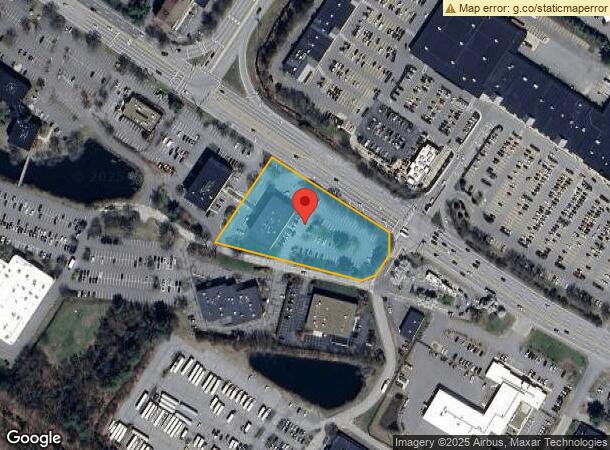
NEARBY LISTINGS FOR SALE OR LEASE
Property Detail
400 Amherst St
NASH-000000-000000-000450G
Hillsborough
Officebuilding
New Hampshire
X
450
33011C0492D
2.22 AC
2023
Hillsborough
2023
Boston
010202
Manchester-Nashua, NH
35,328 SF
DEMOGRAPHICS near 400 Amherst St
1 Mile
3 Mile
5 Mile
2024 Total Population
6,602
48,245
113,366
2029 Population
6,749
49,349
115,964
Pop Growth 2024-2029
+ 2.23%
+ 2.29%
+ 2.29%
Average Age
41
41
42
2024 Total Households
2,976
20,289
45,829
HH Growth 2024-2029
+ 2.25%
+ 2.36%
+ 2.32%
Median Household Inc
$96,216
$86,991
$94,447
Avg Household Size
2.20
2.30
2.40
2024 Avg HH Vehicles
2.00
2.00
2.00
Median Home Value
$359,551
$357,940
$367,911
Median Year Built
1982
1973
1975
Nearby Places
- Restaurants
- Banks
- Shops
- Fitness
- Groceries
PUBLIC TRANSPORTATION
AIRPORT
Manchester Boston Regional
DRIVE
WALK
Distance
Manchester Boston Regional
22 min
13.7 mi
Freight Ports
Port of Boston
DRIVE
WALK
Distance
Port of Boston
70 min
51.2 mi
SALE & LEASE HISTORY
LISTING DATE
SALE/LEASE

Sep 25, 2016
For Lease
Nearby Properties
Address
Land Use
TOTAL SIZE
Lot Size
Zoning
Address
Land Use
TOTAL SIZE
Lot Size
Zoning
177.30 AC
RB
Address
Land Use
TOTAL SIZE
Lot Size
Zoning
325.08 AC
AI
Address
Land Use
TOTAL SIZE
Lot Size
Zoning
6.28 AC
INDUST
Address
Land Use
TOTAL SIZE
Lot Size
Zoning
26.55 AC
INDUST
Address
Land Use
TOTAL SIZE
Lot Size
Zoning
120.50 AC
PI
Address
Land Use
TOTAL SIZE
Lot Size
Zoning
576,827 SF
446.22 AC
INDUST
Address
Land Use
TOTAL SIZE
Lot Size
Zoning
621,927 SF
107.48 AC
INDUST
Address
Land Use
TOTAL SIZE
Lot Size
Zoning
231,216 SF
1.88 AC
GIMU
Address
Land Use
TOTAL SIZE
Lot Size
Zoning
225.68 AC
RC
Address
Land Use
TOTAL SIZE
Lot Size
Zoning
183,432 SF
32.80 AC
GB
Address
Land Use
TOTAL SIZE
Lot Size
Zoning
471,525 SF
40.78 AC
INDUST
Address
Land Use
TOTAL SIZE
Lot Size
Zoning
124,048 SF
23.43 AC
PI
Address
Land Use
TOTAL SIZE
Lot Size
Zoning
337,000 SF
48.52 AC
PI
Address
Land Use
TOTAL SIZE
Lot Size
Zoning
261,381 SF
3.78 AC
GIMU
Address
Land Use
TOTAL SIZE
Lot Size
Zoning
74.50 AC
R9
Address
Land Use
TOTAL SIZE
Lot Size
Zoning
169.05 AC
PI
Address
Land Use
TOTAL SIZE
Lot Size
Zoning
180.50 AC
AI
Address
Land Use
TOTAL SIZE
Lot Size
Zoning
51.50 AC
RC
Address
Land Use
TOTAL SIZE
Lot Size
Zoning
130,178 SF
11.07 AC
GB
Address
Land Use
TOTAL SIZE
Lot Size
Zoning
198 AC
R18
Address
Land Use
TOTAL SIZE
Lot Size
Zoning
27.03 AC
RC
Address
Land Use
TOTAL SIZE
Lot Size
Zoning
61.95 AC
RC
Address
Land Use
TOTAL SIZE
Lot Size
Zoning
25.15 AC
RC
Address
Land Use
TOTAL SIZE
Lot Size
Zoning
398,215 SF
65.88 AC
INDUST
Address
Land Use
TOTAL SIZE
Lot Size
Zoning
64.56 AC
RC
Address
Land Use
TOTAL SIZE
Lot Size
Zoning
243,335 SF
5.42 AC
GIMU
Address
Land Use
TOTAL SIZE
Lot Size
Zoning
30,406 SF
16.74 AC
INDUST
Address
Land Use
TOTAL SIZE
Lot Size
Zoning
81,200 SF
3.60 AC
GIMU
Address
Land Use
TOTAL SIZE
Lot Size
Zoning
227,260 SF
35 AC
PI
The World's #1 Commercial Real Estate Marketplace
Connect with us
© 2025 CoStar Group
The information above has been obtained from sources believed reliable. While we do not doubt its accuracy we have not verified it and make no guarantee, warranty or representation about it. It is your responsibility to independently confirm its accuracy and completeness. Any projections, opinions, assumptions, or estimates used are for example only and do not represent the current or future performance of the property. The value of this transaction to you depends on tax and other factors which should be evaluated by your tax, financial, and legal advisors. You and your advisors should conduct a careful, independent investigation of the property to determine to your satisfaction the suitability of the property for your needs.