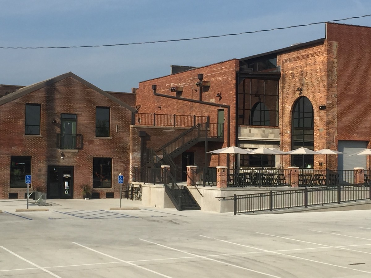
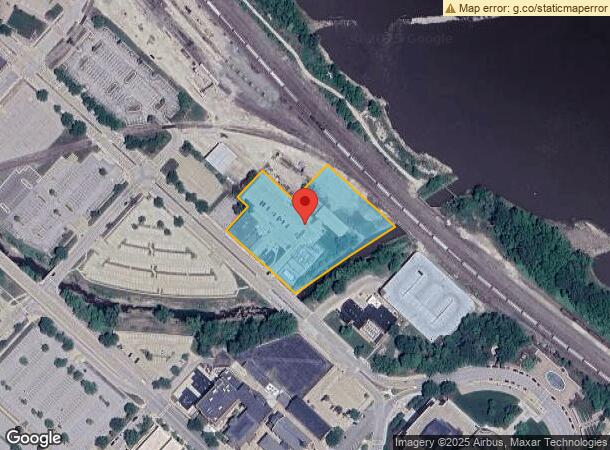
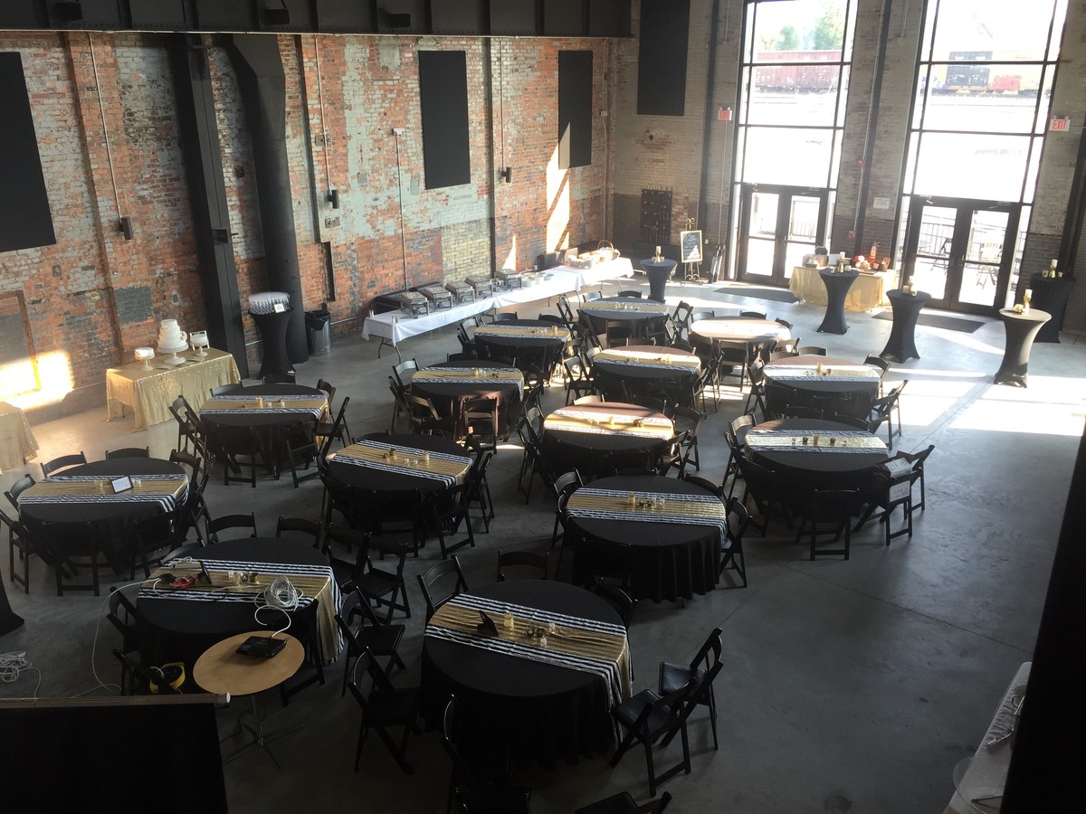
Property Record
400 W Main St, Jefferson City, MO 65101
NEARBY LISTINGS FOR SALE OR LEASE
Property Detail
400 W Main St
Jefferson City, MO
City Of Jefferson Inlot
11-0.3-07-000-100-200-2
CITY OF JEFFERSON INLOT PT INLOTS 60 62 65 69; ALL INLOTS 63 64 & VAC ST & ALLEY
Storebuilding
Cole
AE
Missouri
29051C0133E
60
0
2.49 AC
2024
Columbia/Jefferson City
0207001002
Other Market Areas
DEMOGRAPHICS near 400 W Main St
1 Mile
3 Mile
5 Mile
2024 Total Population
5,819
30,306
47,183
2029 Population
5,889
30,031
46,652
Pop Growth 2024-2029
+ 1.20%
(0.91%)
(1.13%)
Average Age
39
40
41
2024 Total Households
2,830
13,319
20,206
HH Growth 2024-2029
+ 1.17%
(0.98%)
(1.24%)
Median Household Inc
$30,173
$51,792
$58,163
Avg Household Size
1.90
2.10
2.20
2024 Avg HH Vehicles
1.00
2.00
2.00
Median Home Value
$113,873
$165,022
$179,103
Median Year Built
1954
1970
1976
Nearby Places
- Restaurants
- Banks
- Shops
- Fitness
- Groceries
PUBLIC TRANSPORTATION
COMMUTER RAIL
Jefferson City Amtrak Station (Lincoln Service Missouri River Runner - Amtrak, Missouri River Runner - Amtrak)
DRIVE
WALK
Distance
Jefferson City Amtrak Station (Lincoln Service Missouri River Runner - Amtrak, Missouri River Runner - Amtrak)
2 min
8 min
0.5 mi
AIRPORT
Columbia Regional
DRIVE
WALK
Distance
Columbia Regional
26 min
20.8 mi
Freight Ports
Tulsa Port of Inola
DRIVE
WALK
Distance
Tulsa Port of Inola
345 min
305.9 mi
SALE & LEASE HISTORY
LISTING DATE
SALE/LEASE

Jan 27, 2017
For Lease
Nearby Properties
Address
Land Use
TOTAL SIZE
Lot Size
Zoning
Address
Land Use
TOTAL SIZE
Lot Size
Zoning
2.15 AC
C2
Address
Land Use
TOTAL SIZE
Lot Size
Zoning
14.92 AC
PUD
Address
Land Use
TOTAL SIZE
Lot Size
Zoning
0.63 AC
C3
Address
Land Use
TOTAL SIZE
Lot Size
Zoning
39.72 AC
M2
Address
Land Use
TOTAL SIZE
Lot Size
Zoning
30.57 AC
C2
Address
Land Use
TOTAL SIZE
Lot Size
Zoning
643,216 SF
96.40 AC
Address
Land Use
TOTAL SIZE
Lot Size
Zoning
8.03 AC
PUD
Address
Land Use
TOTAL SIZE
Lot Size
Zoning
18.43 AC
C2
Address
Land Use
TOTAL SIZE
Lot Size
Zoning
3.88 AC
PUD
Address
Land Use
TOTAL SIZE
Lot Size
Zoning
Address
Land Use
TOTAL SIZE
Lot Size
Zoning
1.92 AC
C3
Address
Land Use
TOTAL SIZE
Lot Size
Zoning
0.38 AC
C3
Address
Land Use
TOTAL SIZE
Lot Size
Zoning
Address
Land Use
TOTAL SIZE
Lot Size
Zoning
1.53 AC
C2
Address
Land Use
TOTAL SIZE
Lot Size
Zoning
4.62 AC
C2
Address
Land Use
TOTAL SIZE
Lot Size
Zoning
Address
Land Use
TOTAL SIZE
Lot Size
Zoning
5.69 AC
PUD
Address
Land Use
TOTAL SIZE
Lot Size
Zoning
2.84 AC
M1
Address
Land Use
TOTAL SIZE
Lot Size
Zoning
0.56 AC
C3
Address
Land Use
TOTAL SIZE
Lot Size
Zoning
0.94 AC
C1
Address
Land Use
TOTAL SIZE
Lot Size
Zoning
13.32 AC
C2
Address
Land Use
TOTAL SIZE
Lot Size
Zoning
6.45 AC
C2
Address
Land Use
TOTAL SIZE
Lot Size
Zoning
7.02 AC
C2
Address
Land Use
TOTAL SIZE
Lot Size
Zoning
9.42 AC
C2
Address
Land Use
TOTAL SIZE
Lot Size
Zoning
14.34 AC
C2
Address
Land Use
TOTAL SIZE
Lot Size
Zoning
Address
Land Use
TOTAL SIZE
Lot Size
Zoning
2.38 AC
RD
Address
Land Use
TOTAL SIZE
Lot Size
Zoning
3.17 AC
PUD
Address
Land Use
TOTAL SIZE
Lot Size
Zoning
Address
Land Use
TOTAL SIZE
Lot Size
Zoning
4.38 AC
PUD
The World's #1 Commercial Real Estate Marketplace
Connect with us
© 2025 CoStar Group
The information above has been obtained from sources believed reliable. While we do not doubt its accuracy we have not verified it and make no guarantee, warranty or representation about it. It is your responsibility to independently confirm its accuracy and completeness. Any projections, opinions, assumptions, or estimates used are for example only and do not represent the current or future performance of the property. The value of this transaction to you depends on tax and other factors which should be evaluated by your tax, financial, and legal advisors. You and your advisors should conduct a careful, independent investigation of the property to determine to your satisfaction the suitability of the property for your needs.