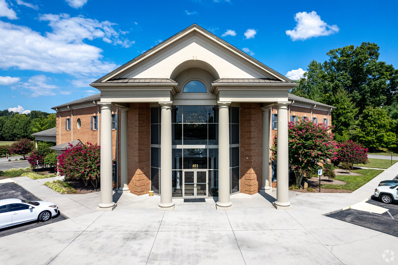
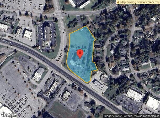
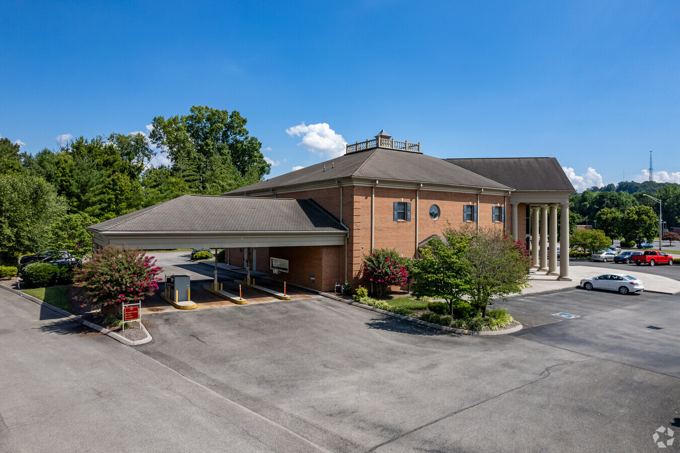
Property Record
401 S Illinois Ave, Oak Ridge, TN 37830
NEARBY LISTINGS FOR SALE OR LEASE
Property Detail
401 S Illinois Ave
Knoxville, TN
Block 0K13 Lot 0092
100P-F-040.00
PB: 6 PG: 99B BLK: K13 LOT: 92
Commercialnec
Anderson
X
Tennessee
47129C0375C
92
2024
3.94 AC
2024
Anderson County
020202
Knoxville
14,800 SF
DEMOGRAPHICS near 401 S Illinois Ave
1 Mile
3 Mile
5 Mile
2024 Total Population
4,169
23,962
40,045
2029 Population
4,453
25,556
42,708
Pop Growth 2024-2029
+ 6.81%
+ 6.65%
+ 6.65%
Average Age
39
41
41
2024 Total Households
1,947
10,469
16,881
HH Growth 2024-2029
+ 7.09%
+ 6.84%
+ 6.78%
Median Household Inc
$42,236
$56,172
$65,585
Avg Household Size
2.10
2.20
2.30
2024 Avg HH Vehicles
2.00
2.00
2.00
Median Home Value
$175,322
$169,874
$196,704
Median Year Built
1950
1959
1967
Nearby Places
- Restaurants
- Banks
- Shops
- Fitness
- Groceries
PUBLIC TRANSPORTATION
AIRPORT
McGhee Tyson
DRIVE
WALK
Distance
McGhee Tyson
31 min
24.4 mi
Freight Ports
Georgia Ports - Savannah
DRIVE
WALK
Distance
Georgia Ports - Savannah
501 min
436.9 mi
Nearby Properties
Address
Land Use
TOTAL SIZE
Lot Size
Zoning
Address
Land Use
TOTAL SIZE
Lot Size
Zoning
11,464.16 AC
Address
Land Use
TOTAL SIZE
Lot Size
Zoning
413,154 SF
4.10 AC
Address
Land Use
TOTAL SIZE
Lot Size
Zoning
233,514 SF
10.08 AC
Address
Land Use
TOTAL SIZE
Lot Size
Zoning
281,157 SF
31.49 AC
Address
Land Use
TOTAL SIZE
Lot Size
Zoning
137,652 SF
2.93 AC
Address
Land Use
TOTAL SIZE
Lot Size
Zoning
147,110 SF
11.17 AC
Address
Land Use
TOTAL SIZE
Lot Size
Zoning
108,723 SF
2.19 AC
Address
Land Use
TOTAL SIZE
Lot Size
Zoning
112,672 SF
18.21 AC
Address
Land Use
TOTAL SIZE
Lot Size
Zoning
162,874 SF
12.98 AC
Address
Land Use
TOTAL SIZE
Lot Size
Zoning
190,966 SF
12.70 AC
R3
Address
Land Use
TOTAL SIZE
Lot Size
Zoning
413,327 SF
73.64 AC
Address
Land Use
TOTAL SIZE
Lot Size
Zoning
120,400 SF
4.57 AC
B2
Address
Land Use
TOTAL SIZE
Lot Size
Zoning
211,501 SF
15.36 AC
Address
Land Use
TOTAL SIZE
Lot Size
Zoning
67,780 SF
4.40 AC
IND1
Address
Land Use
TOTAL SIZE
Lot Size
Zoning
122,401 SF
16.68 AC
Address
Land Use
TOTAL SIZE
Lot Size
Zoning
39,628 SF
1.06 AC
Address
Land Use
TOTAL SIZE
Lot Size
Zoning
36,474 SF
1.90 AC
Address
Land Use
TOTAL SIZE
Lot Size
Zoning
57,174 SF
6.09 AC
Address
Land Use
TOTAL SIZE
Lot Size
Zoning
37,903 SF
6.09 AC
OF
Address
Land Use
TOTAL SIZE
Lot Size
Zoning
139,118 SF
10 AC
Address
Land Use
TOTAL SIZE
Lot Size
Zoning
32,300 SF
4.17 AC
Address
Land Use
TOTAL SIZE
Lot Size
Zoning
86,702 SF
8.20 AC
R3
Address
Land Use
TOTAL SIZE
Lot Size
Zoning
76,032 SF
2.38 AC
R3
Address
Land Use
TOTAL SIZE
Lot Size
Zoning
109,185 SF
19.51 AC
Address
Land Use
TOTAL SIZE
Lot Size
Zoning
74,948 SF
5.07 AC
R7
Address
Land Use
TOTAL SIZE
Lot Size
Zoning
53,566 SF
3.13 AC
R3
Address
Land Use
TOTAL SIZE
Lot Size
Zoning
98,832 SF
4.77 AC
Address
Land Use
TOTAL SIZE
Lot Size
Zoning
66,070 SF
4.68 AC
Address
Land Use
TOTAL SIZE
Lot Size
Zoning
80,855 SF
8.42 AC
Address
Land Use
TOTAL SIZE
Lot Size
Zoning
62,174 SF
2.14 AC
B2
The World's #1 Commercial Real Estate Marketplace
Connect with us
© 2025 CoStar Group
The information above has been obtained from sources believed reliable. While we do not doubt its accuracy we have not verified it and make no guarantee, warranty or representation about it. It is your responsibility to independently confirm its accuracy and completeness. Any projections, opinions, assumptions, or estimates used are for example only and do not represent the current or future performance of the property. The value of this transaction to you depends on tax and other factors which should be evaluated by your tax, financial, and legal advisors. You and your advisors should conduct a careful, independent investigation of the property to determine to your satisfaction the suitability of the property for your needs.