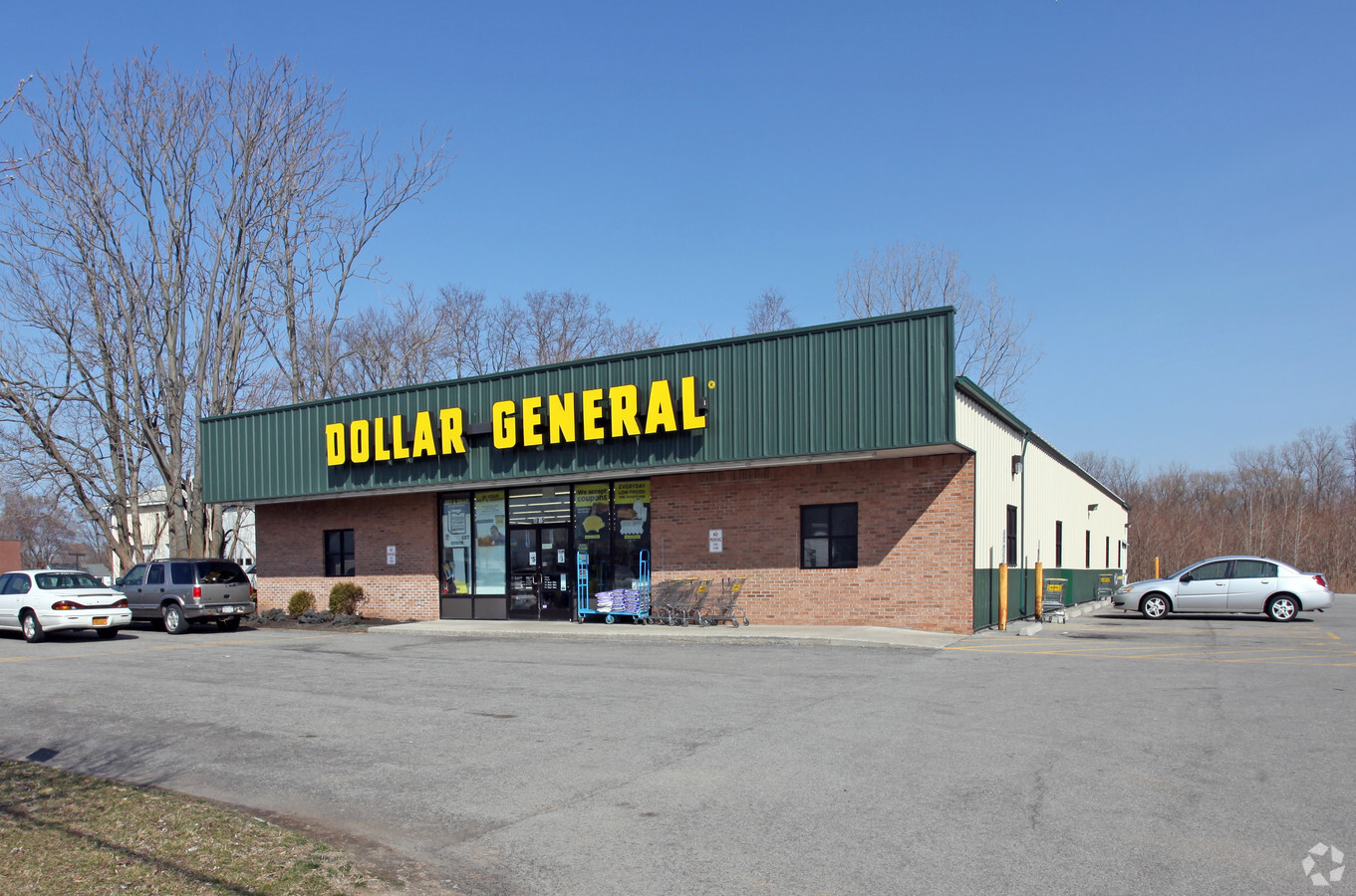
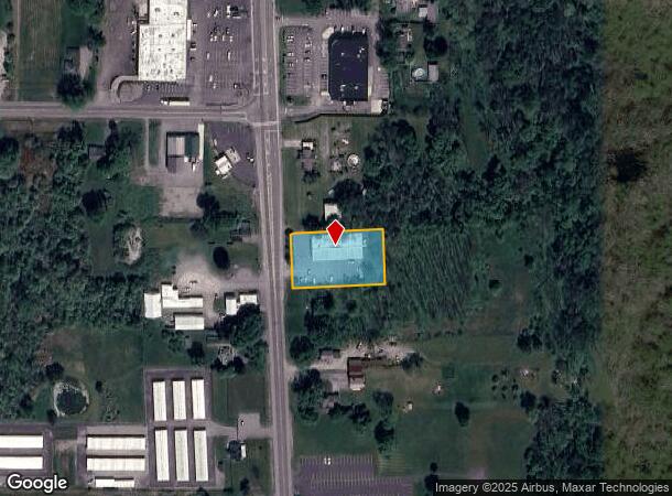
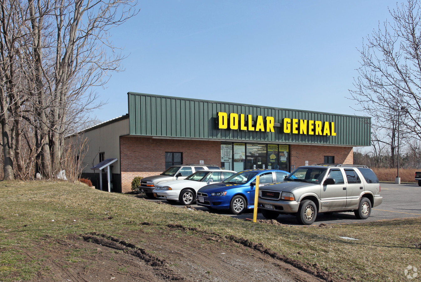
Property Record
4015 Lake Ave, Lockport, NY 14094
NEARBY LISTINGS FOR SALE OR LEASE
Property Detail
4015 Lake Ave
292600-081-004-0001-029-000
WALLY'S
Storesoffices
Niagara
X
New York
36063C0233E
29.000
2024
0.77 AC
2023
Outlying Niagara County
023401
Buffalo/Niagara Falls
8,125 SF
Buffalo-Cheektowaga-Niagara Falls, NY
DEMOGRAPHICS near 4015 Lake Ave
1 Mile
3 Mile
5 Mile
2024 Total Population
890
8,508
35,401
2029 Population
875
8,344
34,771
Pop Growth 2024-2029
(1.69%)
(1.93%)
(1.78%)
Average Age
45
43
42
2024 Total Households
366
3,469
15,130
HH Growth 2024-2029
(1.64%)
(1.99%)
(1.80%)
Median Household Inc
$89,999
$69,869
$62,224
Avg Household Size
2.40
2.40
2.30
2024 Avg HH Vehicles
3.00
2.00
2.00
Median Home Value
$208,784
$161,695
$155,421
Median Year Built
1976
1956
1954
Nearby Places
- Restaurants
- Banks
- Shops
- Fitness
- Groceries
PUBLIC TRANSPORTATION
AIRPORT
Niagara Falls International
DRIVE
WALK
Distance
Niagara Falls International
32 min
19.8 mi
Buffalo Niagara International
DRIVE
WALK
Distance
Buffalo Niagara International
33 min
21.1 mi
Freight Ports
Albany, NY Port
DRIVE
WALK
Distance
Albany, NY Port
344 min
288.4 mi
Nearby Properties
Address
Land Use
TOTAL SIZE
Lot Size
Zoning
Address
Land Use
TOTAL SIZE
Lot Size
Zoning
57,650 SF
21.72 AC
R3
Address
Land Use
TOTAL SIZE
Lot Size
Zoning
24,103 SF
74.12 AC
Address
Land Use
TOTAL SIZE
Lot Size
Zoning
154,300 SF
5.93 AC
RA
Address
Land Use
TOTAL SIZE
Lot Size
Zoning
4,010 SF
125.30 AC
RA
Address
Land Use
TOTAL SIZE
Lot Size
Zoning
55,091 SF
5.60 AC
05 - COMME
Address
Land Use
TOTAL SIZE
Lot Size
Zoning
16,368 SF
44 AC
AR
Address
Land Use
TOTAL SIZE
Lot Size
Zoning
780 SF
27.30 AC
Address
Land Use
TOTAL SIZE
Lot Size
Zoning
58,339 SF
5.70 AC
Address
Land Use
TOTAL SIZE
Lot Size
Zoning
14,673 SF
1.35 AC
Address
Land Use
TOTAL SIZE
Lot Size
Zoning
2,420 SF
3.70 AC
Address
Land Use
TOTAL SIZE
Lot Size
Zoning
1,592 SF
22.51 AC
R3
Address
Land Use
TOTAL SIZE
Lot Size
Zoning
8,094 SF
4.95 AC
R3
Address
Land Use
TOTAL SIZE
Lot Size
Zoning
113.41 AC
RA
Address
Land Use
TOTAL SIZE
Lot Size
Zoning
23,764 SF
1.55 AC
RA
Address
Land Use
TOTAL SIZE
Lot Size
Zoning
6,984 SF
1.27 AC
R3
Address
Land Use
TOTAL SIZE
Lot Size
Zoning
1,638 SF
4.94 AC
B-2
Address
Land Use
TOTAL SIZE
Lot Size
Zoning
4,664 SF
2.48 AC
I3
Address
Land Use
TOTAL SIZE
Lot Size
Zoning
4,263 SF
133.22 AC
MIXED
Address
Land Use
TOTAL SIZE
Lot Size
Zoning
4,448 SF
1.40 AC
B-1
Address
Land Use
TOTAL SIZE
Lot Size
Zoning
4,419 SF
3.80 AC
Address
Land Use
TOTAL SIZE
Lot Size
Zoning
60.70 AC
RES/AG
Address
Land Use
TOTAL SIZE
Lot Size
Zoning
32,748 SF
2.86 AC
RA
Address
Land Use
TOTAL SIZE
Lot Size
Zoning
6,995 SF
5.70 AC
Address
Land Use
TOTAL SIZE
Lot Size
Zoning
16,600 SF
9 AC
Address
Land Use
TOTAL SIZE
Lot Size
Zoning
9,082 SF
29.91 AC
RA
Address
Land Use
TOTAL SIZE
Lot Size
Zoning
5,085 SF
4.85 AC
I3
Address
Land Use
TOTAL SIZE
Lot Size
Zoning
7,565 SF
2.90 AC
Address
Land Use
TOTAL SIZE
Lot Size
Zoning
39,850 SF
4.76 AC
I3
Address
Land Use
TOTAL SIZE
Lot Size
Zoning
15,458 SF
1.70 AC
Address
Land Use
TOTAL SIZE
Lot Size
Zoning
13,770 SF
2.76 AC
I3
The World's #1 Commercial Real Estate Marketplace
Connect with us
© 2025 CoStar Group
The information above has been obtained from sources believed reliable. While we do not doubt its accuracy we have not verified it and make no guarantee, warranty or representation about it. It is your responsibility to independently confirm its accuracy and completeness. Any projections, opinions, assumptions, or estimates used are for example only and do not represent the current or future performance of the property. The value of this transaction to you depends on tax and other factors which should be evaluated by your tax, financial, and legal advisors. You and your advisors should conduct a careful, independent investigation of the property to determine to your satisfaction the suitability of the property for your needs.