Property Record
4020 Wiley Dr, Simpsonville, SC 29680
NEARBY LISTINGS FOR SALE OR LEASE
Property Detail
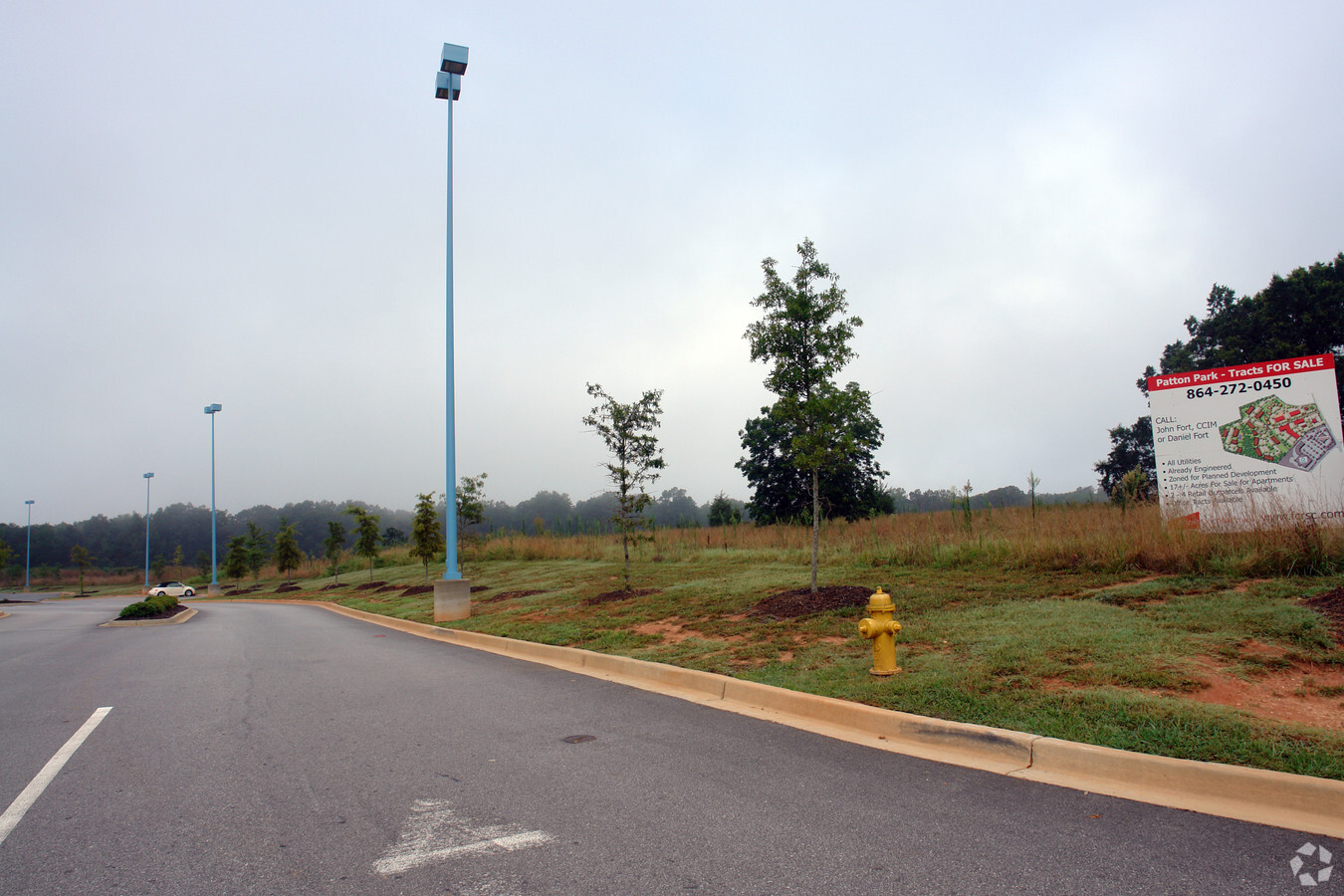
4020 Wiley Dr
Greenville-Anderson-Mauldin, SC
Patton Park
0574.02-01-010.09
TR 1
Apartment
Greenville
X
South Carolina
45045C0481E
010.09
2024
17.65 AC
2024
Mauldin/Fountain
003017
Greenville/Spartanburg
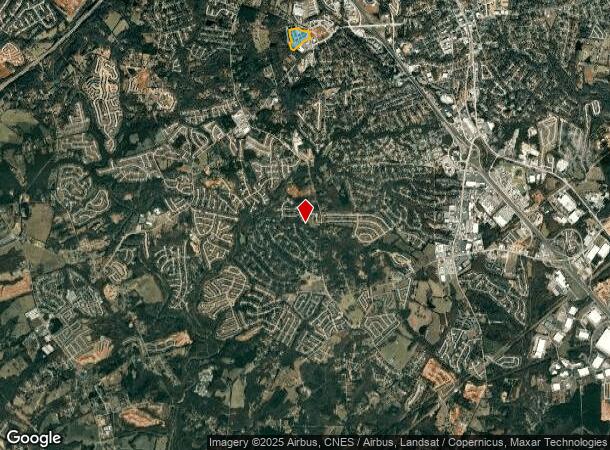
DEMOGRAPHICS near 4020 Wiley Dr
1 Mile
3 Mile
5 Mile
2024 Total Population
4,773
56,315
111,573
2029 Population
5,240
62,201
123,298
Pop Growth 2024-2029
+ 9.78%
+ 10.45%
+ 10.51%
Average Age
40
40
40
2024 Total Households
2,011
21,435
42,960
HH Growth 2024-2029
+ 9.70%
+ 10.50%
+ 10.60%
Median Household Inc
$76,530
$86,499
$84,216
Avg Household Size
2.40
2.60
2.60
2024 Avg HH Vehicles
2.00
2.00
2.00
Median Home Value
$204,009
$245,942
$247,409
Median Year Built
1991
1999
1999
Nearby Places
- Restaurants
- Banks
- Shops
- Fitness
- Groceries
PUBLIC TRANSPORTATION
AIRPORT
Greenville Spartanburg International
DRIVE
WALK
Distance
Greenville Spartanburg International
29 min
17.4 mi
Freight Ports
North Charleston Terminal
DRIVE
WALK
Distance
North Charleston Terminal
215 min
190.6 mi
Nearby Properties
Address
Land Use
TOTAL SIZE
Lot Size
Zoning
Address
Land Use
TOTAL SIZE
Lot Size
Zoning
40.61 AC
I1
Address
Land Use
TOTAL SIZE
Lot Size
Zoning
25.87 AC
I1
Address
Land Use
TOTAL SIZE
Lot Size
Zoning
12.05 AC
RS
Address
Land Use
TOTAL SIZE
Lot Size
Zoning
29.21 AC
I1
Address
Land Use
TOTAL SIZE
Lot Size
Zoning
47.12 AC
RRROW
Address
Land Use
TOTAL SIZE
Lot Size
Zoning
4.58 AC
BI
Address
Land Use
TOTAL SIZE
Lot Size
Zoning
31.36 AC
I1
Address
Land Use
TOTAL SIZE
Lot Size
Zoning
195.23 AC
RRROW
Address
Land Use
TOTAL SIZE
Lot Size
Zoning
12.73 AC
I1
Address
Land Use
TOTAL SIZE
Lot Size
Zoning
9.46 AC
I1
Address
Land Use
TOTAL SIZE
Lot Size
Zoning
12.42 AC
RS
Address
Land Use
TOTAL SIZE
Lot Size
Zoning
5.30 AC
BI
Address
Land Use
TOTAL SIZE
Lot Size
Zoning
76.20 AC
R20
Address
Land Use
TOTAL SIZE
Lot Size
Zoning
10.04 AC
BG
Address
Land Use
TOTAL SIZE
Lot Size
Zoning
22.60 AC
R12
Address
Land Use
TOTAL SIZE
Lot Size
Zoning
7.03 AC
I1
Address
Land Use
TOTAL SIZE
Lot Size
Zoning
14.60 AC
I1
Address
Land Use
TOTAL SIZE
Lot Size
Zoning
1,176 SF
126.24 AC
RS
Address
Land Use
TOTAL SIZE
Lot Size
Zoning
10.50 AC
RRROW
Address
Land Use
TOTAL SIZE
Lot Size
Zoning
Address
Land Use
TOTAL SIZE
Lot Size
Zoning
9.89 AC
C2
Address
Land Use
TOTAL SIZE
Lot Size
Zoning
12.11 AC
BG
Address
Land Use
TOTAL SIZE
Lot Size
Zoning
51.30 AC
RS
Address
Land Use
TOTAL SIZE
Lot Size
Zoning
8.23 AC
S1
Address
Land Use
TOTAL SIZE
Lot Size
Zoning
1,528 SF
22.81 AC
RM14
Address
Land Use
TOTAL SIZE
Lot Size
Zoning
Address
Land Use
TOTAL SIZE
Lot Size
Zoning
65.40 AC
RS
Address
Land Use
TOTAL SIZE
Lot Size
Zoning
17.02 AC
BG
Address
Land Use
TOTAL SIZE
Lot Size
Zoning
3.20 AC
I1
The World's #1 Commercial Real Estate Marketplace
Connect with us
© 2025 CoStar Group
The information above has been obtained from sources believed reliable. While we do not doubt its accuracy we have not verified it and make no guarantee, warranty or representation about it. It is your responsibility to independently confirm its accuracy and completeness. Any projections, opinions, assumptions, or estimates used are for example only and do not represent the current or future performance of the property. The value of this transaction to you depends on tax and other factors which should be evaluated by your tax, financial, and legal advisors. You and your advisors should conduct a careful, independent investigation of the property to determine to your satisfaction the suitability of the property for your needs.