Property Record
403 Stanford St, Lancaster, KY 40444
NEARBY LISTINGS FOR SALE OR LEASE
Property Detail
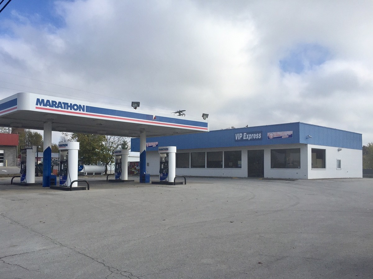
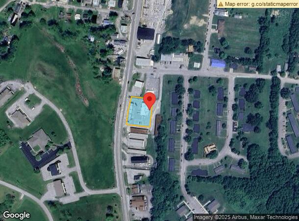
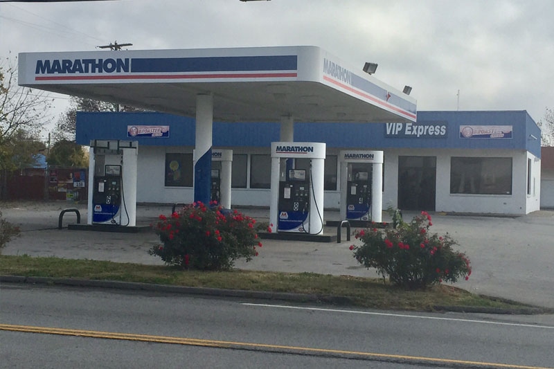
403 Stanford St
L4-04-002.01
Vip Express
Commercialnec
MINIT MART 61-1301198 .58 AC
X
Garrard
21079C0155C
Kentucky
2024
0.58 AC
2024
Kentucky East Area
970300
Other Market Areas
DEMOGRAPHICS near 403 Stanford St
1 Mile
3 Mile
5 Mile
2024 Total Population
4,102
6,201
7,784
2029 Population
4,455
6,729
8,413
Pop Growth 2024-2029
+ 8.61%
+ 8.51%
+ 8.08%
Average Age
41
41
42
2024 Total Households
1,663
2,501
3,112
HH Growth 2024-2029
+ 8.66%
+ 8.56%
+ 8.10%
Median Household Inc
$43,096
$45,198
$47,817
Avg Household Size
2.40
2.40
2.50
2024 Avg HH Vehicles
2.00
2.00
2.00
Median Home Value
$141,015
$143,448
$149,519
Median Year Built
1974
1974
1974
Nearby Places
- Restaurants
- Banks
- Shops
- Fitness
- Groceries
PUBLIC TRANSPORTATION
AIRPORT
Blue Grass
DRIVE
WALK
Distance
Blue Grass
51 min
39.1 mi
Freight Ports
Port of Toledo
DRIVE
WALK
Distance
Port of Toledo
379 min
322.1 mi
SALE & LEASE HISTORY
LISTING DATE
SALE/LEASE

Mar 14, 2017
For Sale
Dec 27, 2016
For Sale
Nearby Properties
Address
Land Use
TOTAL SIZE
Lot Size
Zoning
Address
Land Use
TOTAL SIZE
Lot Size
Zoning
77.96 AC
Address
Land Use
TOTAL SIZE
Lot Size
Zoning
Address
Land Use
TOTAL SIZE
Lot Size
Zoning
0.25 AC
Address
Land Use
TOTAL SIZE
Lot Size
Zoning
5.54 AC
Address
Land Use
TOTAL SIZE
Lot Size
Zoning
Address
Land Use
TOTAL SIZE
Lot Size
Zoning
Address
Land Use
TOTAL SIZE
Lot Size
Zoning
47.63 AC
Address
Land Use
TOTAL SIZE
Lot Size
Zoning
3.52 AC
Address
Land Use
TOTAL SIZE
Lot Size
Zoning
0.30 AC
Address
Land Use
TOTAL SIZE
Lot Size
Zoning
67.94 AC
Address
Land Use
TOTAL SIZE
Lot Size
Zoning
4.53 AC
Address
Land Use
TOTAL SIZE
Lot Size
Zoning
8.61 AC
Address
Land Use
TOTAL SIZE
Lot Size
Zoning
2.39 AC
Address
Land Use
TOTAL SIZE
Lot Size
Zoning
305 AC
Address
Land Use
TOTAL SIZE
Lot Size
Zoning
1.30 AC
Address
Land Use
TOTAL SIZE
Lot Size
Zoning
35.36 AC
Address
Land Use
TOTAL SIZE
Lot Size
Zoning
191.56 AC
Address
Land Use
TOTAL SIZE
Lot Size
Zoning
4.80 AC
Address
Land Use
TOTAL SIZE
Lot Size
Zoning
0.85 AC
Address
Land Use
TOTAL SIZE
Lot Size
Zoning
532 AC
Address
Land Use
TOTAL SIZE
Lot Size
Zoning
276 AC
Address
Land Use
TOTAL SIZE
Lot Size
Zoning
1.13 AC
Address
Land Use
TOTAL SIZE
Lot Size
Zoning
2.02 AC
Address
Land Use
TOTAL SIZE
Lot Size
Zoning
1,260 SF
19.27 AC
Address
Land Use
TOTAL SIZE
Lot Size
Zoning
4.22 AC
Address
Land Use
TOTAL SIZE
Lot Size
Zoning
0.74 AC
Address
Land Use
TOTAL SIZE
Lot Size
Zoning
1.68 AC
Address
Land Use
TOTAL SIZE
Lot Size
Zoning
1.71 AC
Address
Land Use
TOTAL SIZE
Lot Size
Zoning
4.22 AC
Address
Land Use
TOTAL SIZE
Lot Size
Zoning
4.09 AC
The World's #1 Commercial Real Estate Marketplace
Connect with us
© 2025 CoStar Group
The information above has been obtained from sources believed reliable. While we do not doubt its accuracy we have not verified it and make no guarantee, warranty or representation about it. It is your responsibility to independently confirm its accuracy and completeness. Any projections, opinions, assumptions, or estimates used are for example only and do not represent the current or future performance of the property. The value of this transaction to you depends on tax and other factors which should be evaluated by your tax, financial, and legal advisors. You and your advisors should conduct a careful, independent investigation of the property to determine to your satisfaction the suitability of the property for your needs.