Property Record
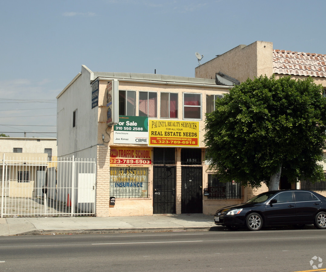
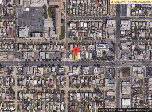
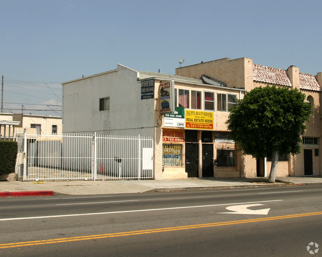
1851 W Florence Ave, Los Angeles, CA 90047

NEARBY LISTINGS FOR SALE OR LEASE
Property Detail
1851 W Florence Ave
Los Angeles-Long Beach-Glendale, CA
6279
6016-036-007
TRACT NO 6279 LOT/SEC 10
Storesoffices
Los Angeles
X
California
06037C1781G
10
2024
0.06 AC
2024
Inglewood/South LA
237300
Los Angeles
2,207 SF
DEMOGRAPHICS near 1851 W Florence Ave
1 Mile
3 Mile
5 Mile
2024 Total Population
38,288
401,040
1,023,794
2029 Population
36,996
386,126
985,558
Pop Growth 2024-2029
(3.37%)
(3.72%)
(3.73%)
Average Age
40
37
37
2024 Total Households
12,010
122,029
308,140
HH Growth 2024-2029
(3.62%)
(3.92%)
(3.83%)
Median Household Inc
$61,440
$54,391
$54,964
Avg Household Size
3.10
3.10
3.10
2024 Avg HH Vehicles
2.00
2.00
2.00
Median Home Value
$633,656
$680,200
$697,785
Median Year Built
1946
1949
1954
Nearby Places
- Restaurants
- Banks
- Shops
- Fitness
- Groceries
PUBLIC TRANSPORTATION
COMMUTER RAIL
Los Angeles (Coast Starlight - Amtrak, Pacific Surfliner - Amtrak, Southwest Chief - Amtrak, Texas Eagle - Amtrak)
DRIVE
WALK
Distance
Los Angeles (Coast Starlight - Amtrak, Pacific Surfliner - Amtrak, Southwest Chief - Amtrak, Texas Eagle - Amtrak)
14 min
9.5 mi
Union Station (91 Line - Southern California Regional Rail Authority (Metrolink), Antelope Valley Line - Southern California Regional Rail Authority (Metrolink), Orange County Line - Southern California Regional Rail Authority (Metrolink), Riverside Line - Southern California Regional Rail Authority (Metrolink), San Bernardino Line - Southern California Regional Rail Authority (Metrolink), Ventura County Line - Southern California Regional Rail Authority (Metrolink))
DRIVE
WALK
Distance
Union Station (91 Line - Southern California Regional Rail Authority (Metrolink), Antelope Valley Line - Southern California Regional Rail Authority (Metrolink), Orange County Line - Southern California Regional Rail Authority (Metrolink), Riverside Line - Southern California Regional Rail Authority (Metrolink), San Bernardino Line - Southern California Regional Rail Authority (Metrolink), Ventura County Line - Southern California Regional Rail Authority (Metrolink))
17 min
9.7 mi
AIRPORT
Los Angeles International
DRIVE
WALK
Distance
Los Angeles International
13 min
6.9 mi
Bob Hope
DRIVE
WALK
Distance
Bob Hope
32 min
18.1 mi
Long Beach (Daugherty Field)
DRIVE
WALK
Distance
Long Beach (Daugherty Field)
26 min
18.7 mi
Freight Ports
Port of Long Beach
DRIVE
WALK
Distance
Port of Long Beach
29 min
20.5 mi
SALE & LEASE HISTORY
LISTING DATE
SALE/LEASE

Dec 11, 2017
For Lease
Nearby Properties
Address
Land Use
TOTAL SIZE
Lot Size
Zoning
Address
Land Use
TOTAL SIZE
Lot Size
Zoning
2,531,696 SF
79.60 AC
INCR*
Address
Land Use
TOTAL SIZE
Lot Size
Zoning
Address
Land Use
TOTAL SIZE
Lot Size
Zoning
Address
Land Use
TOTAL SIZE
Lot Size
Zoning
Address
Land Use
TOTAL SIZE
Lot Size
Zoning
Address
Land Use
TOTAL SIZE
Lot Size
Zoning
724,715 SF
5.76 AC
INCR*
Address
Land Use
TOTAL SIZE
Lot Size
Zoning
1,359,630 SF
29 AC
INCR*
Address
Land Use
TOTAL SIZE
Lot Size
Zoning
343,879 SF
4.26 AC
LAC2
Address
Land Use
TOTAL SIZE
Lot Size
Zoning
181,213 SF
3.96 AC
INCR*
Address
Land Use
TOTAL SIZE
Lot Size
Zoning
273,825 SF
7.73 AC
INRM*
Address
Land Use
TOTAL SIZE
Lot Size
Zoning
144,111 SF
6.94 AC
INM1*
Address
Land Use
TOTAL SIZE
Lot Size
Zoning
102,789 SF
0.86 AC
INR3*
Address
Land Use
TOTAL SIZE
Lot Size
Zoning
57,488 SF
4.30 AC
LAPF
Address
Land Use
TOTAL SIZE
Lot Size
Zoning
0.34 AC
INC1*
Address
Land Use
TOTAL SIZE
Lot Size
Zoning
1,106,631 SF
1.12 AC
INC2YY
Address
Land Use
TOTAL SIZE
Lot Size
Zoning
111,254 SF
5.63 AC
INCR
Address
Land Use
TOTAL SIZE
Lot Size
Zoning
233,461 SF
5.48 AC
1NM1*
Address
Land Use
TOTAL SIZE
Lot Size
Zoning
81,735 SF
4.10 AC
LAR4
Address
Land Use
TOTAL SIZE
Lot Size
Zoning
82,970 SF
0.60 AC
INC3YY
Address
Land Use
TOTAL SIZE
Lot Size
Zoning
436,126 SF
1.95 AC
LAC2
Address
Land Use
TOTAL SIZE
Lot Size
Zoning
507,000 SF
11.96 AC
INCR
Address
Land Use
TOTAL SIZE
Lot Size
Zoning
402,118 SF
9.39 AC
LAC2
Address
Land Use
TOTAL SIZE
Lot Size
Zoning
460,912 SF
3.96 AC
INCR
Address
Land Use
TOTAL SIZE
Lot Size
Zoning
133,455 SF
1.04 AC
LAC2
Address
Land Use
TOTAL SIZE
Lot Size
Zoning
111,213 SF
12.04 AC
LAR4
Address
Land Use
TOTAL SIZE
Lot Size
Zoning
173,222 SF
0.96 AC
LAR3
Address
Land Use
TOTAL SIZE
Lot Size
Zoning
15,704 SF
0.84 AC
LAC1.5
Address
Land Use
TOTAL SIZE
Lot Size
Zoning
76,654 SF
5.93 AC
INC1*
Address
Land Use
TOTAL SIZE
Lot Size
Zoning
153,520 SF
15.72 AC
INM1L*
Address
Land Use
TOTAL SIZE
Lot Size
Zoning
188,030 SF
3.09 AC
LAR5
The World's #1 Commercial Real Estate Marketplace
Connect with us
© 2025 CoStar Group
The information above has been obtained from sources believed reliable. While we do not doubt its accuracy we have not verified it and make no guarantee, warranty or representation about it. It is your responsibility to independently confirm its accuracy and completeness. Any projections, opinions, assumptions, or estimates used are for example only and do not represent the current or future performance of the property. The value of this transaction to you depends on tax and other factors which should be evaluated by your tax, financial, and legal advisors. You and your advisors should conduct a careful, independent investigation of the property to determine to your satisfaction the suitability of the property for your needs.