No Photo
Property Record
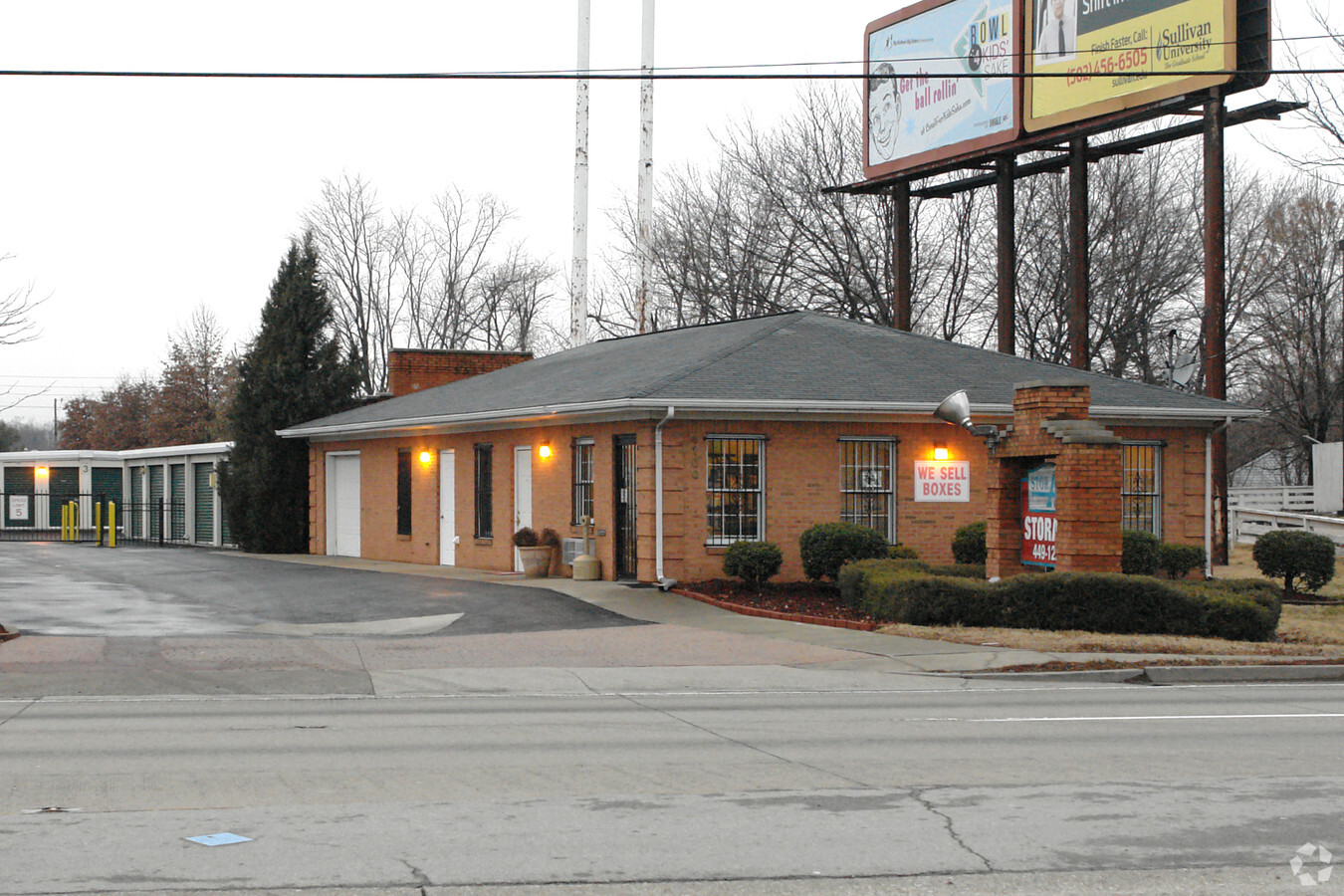
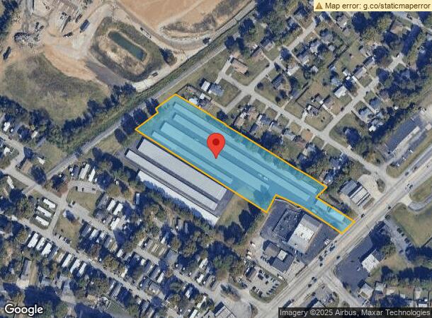
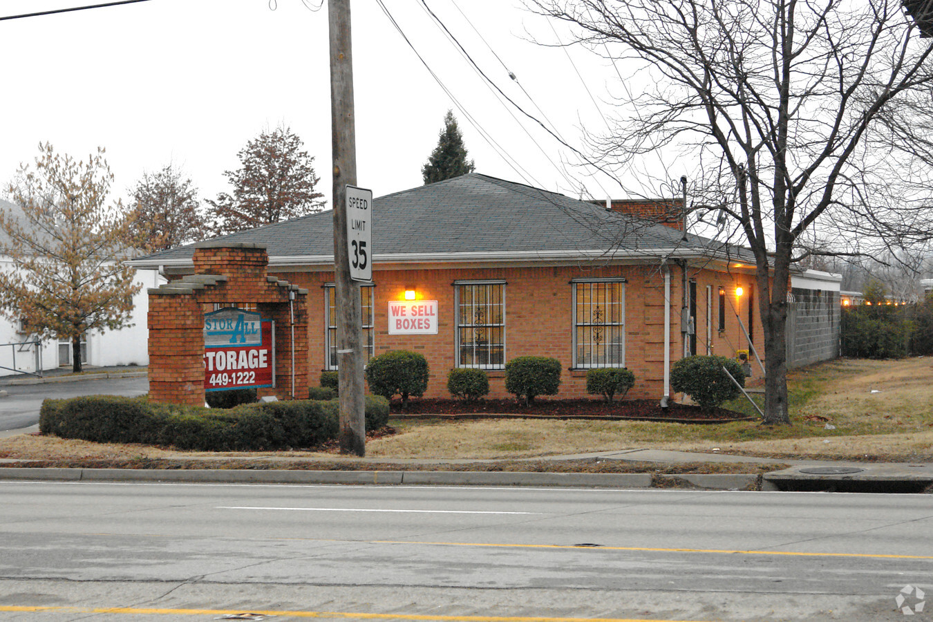
4100 Cane Run Rd, Louisville, KY 40216
NEARBY LISTINGS FOR SALE OR LEASE
Property Detail
4100 Cane Run Rd
100804100000
4.26 AC+-
Realpropertynec
Jefferson
X
Kentucky
21111C0055F
4.26 AC
2024
W Outlying Jefferson Cnty
2024
Louisville
012701
Louisville-Jefferson County, KY-IN
1,800 SF
DEMOGRAPHICS near 4100 Cane Run Rd
1 Mile
3 Mile
5 Mile
2024 Total Population
7,778
72,652
201,142
2029 Population
7,674
72,333
200,558
Pop Growth 2024-2029
(1.34%)
(0.44%)
(0.29%)
Average Age
40
39
38
2024 Total Households
3,233
29,469
83,324
HH Growth 2024-2029
(1.36%)
(0.51%)
(0.30%)
Median Household Inc
$45,833
$40,614
$38,678
Avg Household Size
2.40
2.40
2.30
2024 Avg HH Vehicles
2.00
1.00
1.00
Median Home Value
$159,156
$131,828
$137,505
Median Year Built
1966
1958
1955
Nearby Places
- Restaurants
- Banks
- Shops
- Fitness
- Groceries
PUBLIC TRANSPORTATION
AIRPORT
Louisville Muhammad Ali International
DRIVE
WALK
Distance
Louisville Muhammad Ali International
13 min
7.4 mi
Freight Ports
Port of Toledo
DRIVE
WALK
Distance
Port of Toledo
365 min
311.4 mi
Nearby Properties
Address
Land Use
TOTAL SIZE
Lot Size
Zoning
Address
Land Use
TOTAL SIZE
Lot Size
Zoning
194,084 SF
24.87 AC
EZ1-ENTERP
Address
Land Use
TOTAL SIZE
Lot Size
Zoning
18.03 AC
Address
Land Use
TOTAL SIZE
Lot Size
Zoning
16.31 AC
OR1-OFFICE
Address
Land Use
TOTAL SIZE
Lot Size
Zoning
15.24 AC
Address
Land Use
TOTAL SIZE
Lot Size
Zoning
38.34 AC
Address
Land Use
TOTAL SIZE
Lot Size
Zoning
308 SF
57.16 AC
EZ1-ENTERP
Address
Land Use
TOTAL SIZE
Lot Size
Zoning
270 SF
121 AC
M3-INDUSTR
Address
Land Use
TOTAL SIZE
Lot Size
Zoning
164,677 SF
13.54 AC
EZ1-ENTERP
Address
Land Use
TOTAL SIZE
Lot Size
Zoning
139,200 SF
29.50 AC
EZ1-ENTERP
Address
Land Use
TOTAL SIZE
Lot Size
Zoning
29.54 AC
R5-RESIDEN
Address
Land Use
TOTAL SIZE
Lot Size
Zoning
9.95 AC
Address
Land Use
TOTAL SIZE
Lot Size
Zoning
4,250 SF
2.83 AC
OR1-OFFICE
Address
Land Use
TOTAL SIZE
Lot Size
Zoning
Address
Land Use
TOTAL SIZE
Lot Size
Zoning
5,720 SF
93.67 AC
EZ1-ENTERP
Address
Land Use
TOTAL SIZE
Lot Size
Zoning
19,375 SF
10.11 AC
C1-COMMERC
Address
Land Use
TOTAL SIZE
Lot Size
Zoning
121,509 SF
4.48 AC
Address
Land Use
TOTAL SIZE
Lot Size
Zoning
15,928 SF
13.67 AC
R4-RESIDEN
Address
Land Use
TOTAL SIZE
Lot Size
Zoning
20,258 SF
60.94 AC
M3-INDUSTR
Address
Land Use
TOTAL SIZE
Lot Size
Zoning
91,913 SF
2.46 AC
C2-COMMERC
Address
Land Use
TOTAL SIZE
Lot Size
Zoning
170,619 SF
6.35 AC
R7-RESIDEN
Address
Land Use
TOTAL SIZE
Lot Size
Zoning
1,440 SF
141.94 AC
M3-INDUSTR
Address
Land Use
TOTAL SIZE
Lot Size
Zoning
1,620 SF
16.84 AC
R6-RESIDEN
Address
Land Use
TOTAL SIZE
Lot Size
Zoning
3,144 SF
9.38 AC
R7-RESIDEN
Address
Land Use
TOTAL SIZE
Lot Size
Zoning
88,320 SF
46.22 AC
EZ1-ENTERP
Address
Land Use
TOTAL SIZE
Lot Size
Zoning
24,839 SF
25.37 AC
M3-INDUSTR
Address
Land Use
TOTAL SIZE
Lot Size
Zoning
266,400 SF
16.40 AC
EZ1-ENTERP
Address
Land Use
TOTAL SIZE
Lot Size
Zoning
66,562 SF
8.42 AC
C1-COMMERC
Address
Land Use
TOTAL SIZE
Lot Size
Zoning
133,829 SF
10.03 AC
EZ1-ENTERP
Address
Land Use
TOTAL SIZE
Lot Size
Zoning
50,973 SF
4.71 AC
Address
Land Use
TOTAL SIZE
Lot Size
Zoning
2,571 SF
87 SF
M3-INDUSTR
The World's #1 Commercial Real Estate Marketplace
Connect with us
© 2025 CoStar Group
The information above has been obtained from sources believed reliable. While we do not doubt its accuracy we have not verified it and make no guarantee, warranty or representation about it. It is your responsibility to independently confirm its accuracy and completeness. Any projections, opinions, assumptions, or estimates used are for example only and do not represent the current or future performance of the property. The value of this transaction to you depends on tax and other factors which should be evaluated by your tax, financial, and legal advisors. You and your advisors should conduct a careful, independent investigation of the property to determine to your satisfaction the suitability of the property for your needs.