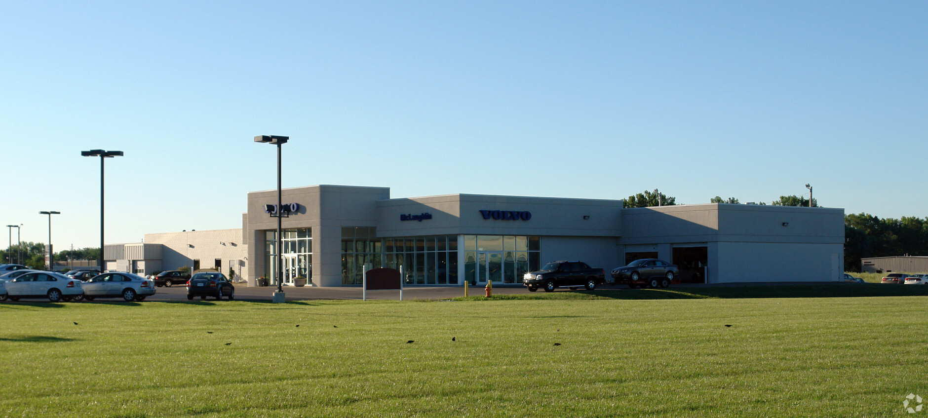
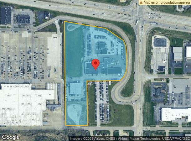
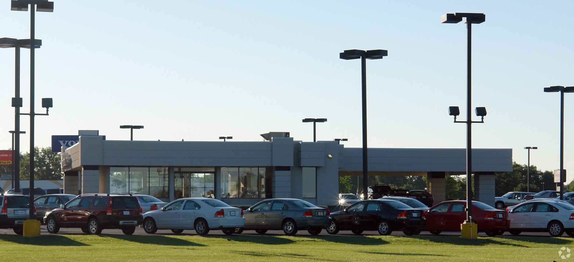
Property Record
4101 41St St, Moline, IL 61265
NEARBY LISTINGS FOR SALE OR LEASE
Property Detail
4101 41St St
Davenport-Moline-Rock Island, IA-IL
Broadview Heights Add
17-15-202-007
SUPVR ASST MAP LOT 205 SHEET 45 BROADVIEW HEIGHTS ADD
Commercialnec
Rock Island
AE
Illinois
17161C0330F
205
2023
8.42 AC
2023
Greater Moline
021100
Davenport/Moline/Rock Island
DEMOGRAPHICS near 4101 41St St
1 Mile
3 Mile
5 Mile
2024 Total Population
5,819
50,417
108,163
2029 Population
5,703
49,080
105,707
Pop Growth 2024-2029
(1.99%)
(2.65%)
(2.27%)
Average Age
42
41
41
2024 Total Households
2,491
21,738
45,841
HH Growth 2024-2029
(2.05%)
(2.69%)
(2.33%)
Median Household Inc
$73,499
$61,822
$58,537
Avg Household Size
2.30
2.30
2.30
2024 Avg HH Vehicles
2.00
2.00
2.00
Median Home Value
$180,681
$146,291
$140,811
Median Year Built
1971
1961
1958
Nearby Places
- Restaurants
- Banks
- Shops
- Fitness
- Groceries
PUBLIC TRANSPORTATION
AIRPORT
Quad Cities International
DRIVE
WALK
Distance
Quad Cities International
9 min
3.5 mi
Freight Ports
Port Milwaukee
DRIVE
WALK
Distance
Port Milwaukee
233 min
205.1 mi
Nearby Properties
Address
Land Use
TOTAL SIZE
Lot Size
Zoning
Address
Land Use
TOTAL SIZE
Lot Size
Zoning
333.38 AC
B3
Address
Land Use
TOTAL SIZE
Lot Size
Zoning
7.86 AC
Address
Land Use
TOTAL SIZE
Lot Size
Zoning
132,647 SF
13.76 AC
MOL
Address
Land Use
TOTAL SIZE
Lot Size
Zoning
194,267 SF
23.16 AC
MOL
Address
Land Use
TOTAL SIZE
Lot Size
Zoning
250,875 SF
11.92 AC
MOL
Address
Land Use
TOTAL SIZE
Lot Size
Zoning
333,348 SF
30.81 AC
EM
Address
Land Use
TOTAL SIZE
Lot Size
Zoning
19.69 AC
MOL
Address
Land Use
TOTAL SIZE
Lot Size
Zoning
47,060 SF
3.23 AC
MOL
Address
Land Use
TOTAL SIZE
Lot Size
Zoning
244,440 SF
13.25 AC
MOL
Address
Land Use
TOTAL SIZE
Lot Size
Zoning
10.75 AC
MOL
Address
Land Use
TOTAL SIZE
Lot Size
Zoning
142,836 SF
14.60 AC
MOL
Address
Land Use
TOTAL SIZE
Lot Size
Zoning
203,904 SF
12.75 AC
MOL
Address
Land Use
TOTAL SIZE
Lot Size
Zoning
66.76 AC
MOL
Address
Land Use
TOTAL SIZE
Lot Size
Zoning
9.42 AC
I2
Address
Land Use
TOTAL SIZE
Lot Size
Zoning
47,578 SF
23.65 AC
MOL
Address
Land Use
TOTAL SIZE
Lot Size
Zoning
81,500 SF
6.95 AC
MOL
Address
Land Use
TOTAL SIZE
Lot Size
Zoning
9.18 AC
MOL
Address
Land Use
TOTAL SIZE
Lot Size
Zoning
134,142 SF
13.31 AC
EM
Address
Land Use
TOTAL SIZE
Lot Size
Zoning
53,897 SF
3.13 AC
MOL
Address
Land Use
TOTAL SIZE
Lot Size
Zoning
144,306 SF
16.90 AC
EM
Address
Land Use
TOTAL SIZE
Lot Size
Zoning
33.09 AC
Address
Land Use
TOTAL SIZE
Lot Size
Zoning
3 AC
MOL
Address
Land Use
TOTAL SIZE
Lot Size
Zoning
162,924 SF
17.18 AC
MOL
Address
Land Use
TOTAL SIZE
Lot Size
Zoning
55.60 AC
CV
Address
Land Use
TOTAL SIZE
Lot Size
Zoning
30,836 SF
4.91 AC
MOL
Address
Land Use
TOTAL SIZE
Lot Size
Zoning
4.40 AC
Address
Land Use
TOTAL SIZE
Lot Size
Zoning
130,200 SF
3 AC
EM
Address
Land Use
TOTAL SIZE
Lot Size
Zoning
46.02 AC
MOL
Address
Land Use
TOTAL SIZE
Lot Size
Zoning
126,605 SF
20.25 AC
MOL
The World's #1 Commercial Real Estate Marketplace
Connect with us
© 2025 CoStar Group
The information above has been obtained from sources believed reliable. While we do not doubt its accuracy we have not verified it and make no guarantee, warranty or representation about it. It is your responsibility to independently confirm its accuracy and completeness. Any projections, opinions, assumptions, or estimates used are for example only and do not represent the current or future performance of the property. The value of this transaction to you depends on tax and other factors which should be evaluated by your tax, financial, and legal advisors. You and your advisors should conduct a careful, independent investigation of the property to determine to your satisfaction the suitability of the property for your needs.