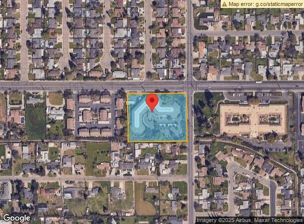
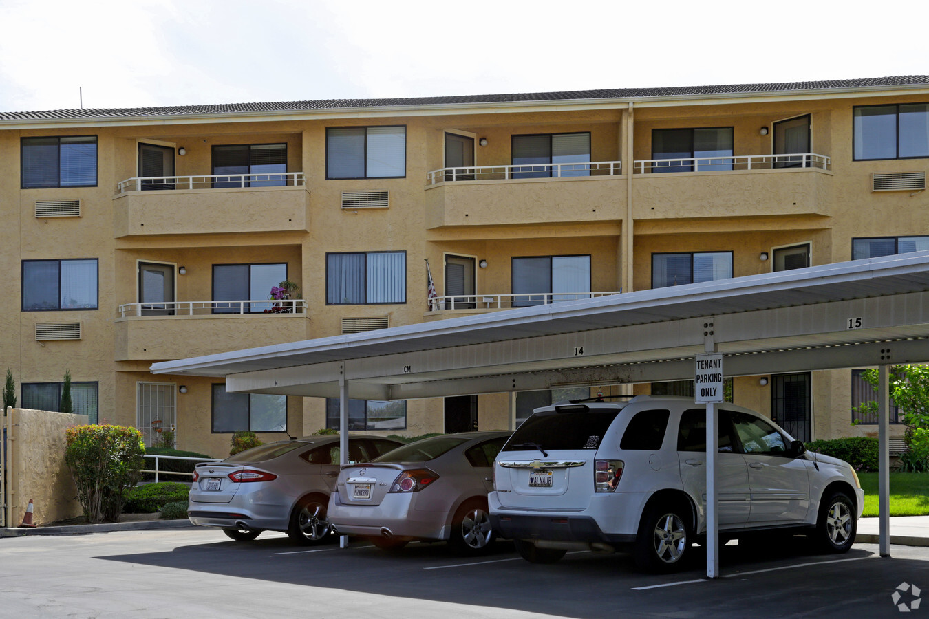
Property Record
4119 W Walnut Ave, Visalia, CA 93277

NEARBY LISTINGS FOR SALE OR LEASE
-
-
View all Visalia listings for sale on LoopNet.com
Property Detail
4119 W Walnut Ave
119-040-024-000
Parcel Map 3436
Hospitalpublic
PAR 1 PAR MAP 3436 V35 P38 PM
X
Tulare
06107C0937E
California
2023
2.67 AC
2024
Greater Visalia
002004
Visalia/Porterville
78,751 SF
Visalia-Porterville, CA
DEMOGRAPHICS near 4119 W Walnut Ave
1 Mile
3 Mile
5 Mile
2024 Total Population
20,895
94,906
152,529
2029 Population
21,658
98,456
158,366
Pop Growth 2024-2029
+ 3.65%
+ 3.74%
+ 3.83%
Average Age
39
37
36
2024 Total Households
7,360
32,351
50,003
HH Growth 2024-2029
+ 3.71%
+ 3.75%
+ 3.81%
Median Household Inc
$65,614
$69,793
$69,561
Avg Household Size
2.70
2.80
3.00
2024 Avg HH Vehicles
2.00
2.00
2.00
Median Home Value
$267,568
$303,186
$295,752
Median Year Built
1977
1982
1987
Nearby Places
- Restaurants
- Banks
- Shops
- Fitness
- Groceries
Nearby Properties
Address
Land Use
TOTAL SIZE
Lot Size
Zoning
Address
Land Use
TOTAL SIZE
Lot Size
Zoning
393,784 SF
17.79 AC
CR
Address
Land Use
TOTAL SIZE
Lot Size
Zoning
159,023 SF
14.82 AC
CR
Address
Land Use
TOTAL SIZE
Lot Size
Zoning
42,084 SF
9.18 AC
RM2
Address
Land Use
TOTAL SIZE
Lot Size
Zoning
148,667 SF
11.35 AC
CR
Address
Land Use
TOTAL SIZE
Lot Size
Zoning
121,380 SF
24.96 AC
QP
Address
Land Use
TOTAL SIZE
Lot Size
Zoning
6.96 AC
Address
Land Use
TOTAL SIZE
Lot Size
Zoning
91,492 SF
4.80 AC
RM3
Address
Land Use
TOTAL SIZE
Lot Size
Zoning
134,561 SF
11.55 AC
CR
Address
Land Use
TOTAL SIZE
Lot Size
Zoning
134,055 SF
3.49 AC
CDT
Address
Land Use
TOTAL SIZE
Lot Size
Zoning
19.34 AC
QP
Address
Land Use
TOTAL SIZE
Lot Size
Zoning
92,298 SF
7.32 AC
CR
Address
Land Use
TOTAL SIZE
Lot Size
Zoning
103,000 SF
11.17 AC
CCM
Address
Land Use
TOTAL SIZE
Lot Size
Zoning
Address
Land Use
TOTAL SIZE
Lot Size
Zoning
87,160 SF
0.75 AC
PA
Address
Land Use
TOTAL SIZE
Lot Size
Zoning
5.85 AC
RM2
Address
Land Use
TOTAL SIZE
Lot Size
Zoning
69,120 SF
5.23 AC
CR
Address
Land Use
TOTAL SIZE
Lot Size
Zoning
32,048 SF
2.81 AC
CSO
Address
Land Use
TOTAL SIZE
Lot Size
Zoning
83,011 SF
4.46 AC
QP
Address
Land Use
TOTAL SIZE
Lot Size
Zoning
28,557 SF
2.88 AC
CR
Address
Land Use
TOTAL SIZE
Lot Size
Zoning
88,589 SF
7.98 AC
CR
Address
Land Use
TOTAL SIZE
Lot Size
Zoning
93,656 SF
4.52 AC
CCM
Address
Land Use
TOTAL SIZE
Lot Size
Zoning
41,073 SF
3.30 AC
CR
Address
Land Use
TOTAL SIZE
Lot Size
Zoning
17,933 SF
3.98 AC
CR
Address
Land Use
TOTAL SIZE
Lot Size
Zoning
51,362 SF
1.61 AC
CH
Address
Land Use
TOTAL SIZE
Lot Size
Zoning
1.07 AC
CDT
Address
Land Use
TOTAL SIZE
Lot Size
Zoning
30,106 SF
2.67 AC
CR
Address
Land Use
TOTAL SIZE
Lot Size
Zoning
103,550 SF
8.63 AC
CR
Address
Land Use
TOTAL SIZE
Lot Size
Zoning
131,624 SF
7.44 AC
RM3
Address
Land Use
TOTAL SIZE
Lot Size
Zoning
117,693 SF
9.56 AC
RM3
The World's #1 Commercial Real Estate Marketplace
Connect with us
© 2025 CoStar Group
The information above has been obtained from sources believed reliable. While we do not doubt its accuracy we have not verified it and make no guarantee, warranty or representation about it. It is your responsibility to independently confirm its accuracy and completeness. Any projections, opinions, assumptions, or estimates used are for example only and do not represent the current or future performance of the property. The value of this transaction to you depends on tax and other factors which should be evaluated by your tax, financial, and legal advisors. You and your advisors should conduct a careful, independent investigation of the property to determine to your satisfaction the suitability of the property for your needs.