Property Record
4140 Lawrenceville Hwy Nw, Lilburn, GA 30047

NEARBY LISTINGS FOR SALE OR LEASE
Property Detail
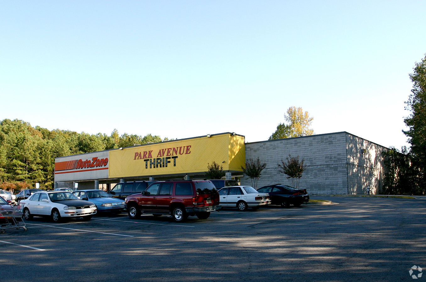
4140 Lawrenceville Hwy Nw
6-150-006
HWY 29
Storebuilding
Gwinnett
X
Georgia
13135C0114F
3.11 AC
2023
Lilburn/Snellville
2023
Atlanta
050442
Atlanta-Sandy Springs-Roswell, GA
34,754 SF
DEMOGRAPHICS near 4140 Lawrenceville Hwy Nw
1 Mile
3 Mile
5 Mile
2024 Total Population
8,341
92,219
257,160
2029 Population
8,524
95,960
267,127
Pop Growth 2024-2029
+ 2.19%
+ 4.06%
+ 3.88%
Average Age
35
36
36
2024 Total Households
2,765
29,317
85,857
HH Growth 2024-2029
+ 1.77%
+ 4.05%
+ 3.92%
Median Household Inc
$46,294
$58,090
$60,878
Avg Household Size
2.90
3.00
2.90
2024 Avg HH Vehicles
2.00
2.00
2.00
Median Home Value
$266,712
$263,536
$273,416
Median Year Built
1989
1987
1989
Nearby Places
- Restaurants
- Banks
- Shops
- Fitness
- Groceries
PUBLIC TRANSPORTATION
AIRPORT
Hartsfield - Jackson Atlanta International
DRIVE
WALK
Distance
Hartsfield - Jackson Atlanta International
46 min
32.0 mi
Freight Ports
Georgia Ports - Savannah
DRIVE
WALK
Distance
Georgia Ports - Savannah
300 min
263.9 mi
Nearby Properties
Address
Land Use
TOTAL SIZE
Lot Size
Zoning
Address
Land Use
TOTAL SIZE
Lot Size
Zoning
30,492 SF
34.99 AC
RM13-MULTI
Address
Land Use
TOTAL SIZE
Lot Size
Zoning
448,880 SF
33.96 AC
RM13
Address
Land Use
TOTAL SIZE
Lot Size
Zoning
478,862 SF
43.10 AC
OI
Address
Land Use
TOTAL SIZE
Lot Size
Zoning
220,552 SF
35.67 AC
RM8
Address
Land Use
TOTAL SIZE
Lot Size
Zoning
291,033 SF
28.60 AC
RM
Address
Land Use
TOTAL SIZE
Lot Size
Zoning
328,078 SF
34.06 AC
RM13
Address
Land Use
TOTAL SIZE
Lot Size
Zoning
251,214 SF
24.91 AC
RM13
Address
Land Use
TOTAL SIZE
Lot Size
Zoning
154,108 SF
29.13 AC
M1-LIGHT I
Address
Land Use
TOTAL SIZE
Lot Size
Zoning
299,768 SF
17.15 AC
RM13
Address
Land Use
TOTAL SIZE
Lot Size
Zoning
242,082 SF
43.15 AC
R1
Address
Land Use
TOTAL SIZE
Lot Size
Zoning
346,107 SF
29.56 AC
RM13
Address
Land Use
TOTAL SIZE
Lot Size
Zoning
280,313 SF
20.36 AC
RM13
Address
Land Use
TOTAL SIZE
Lot Size
Zoning
239,816 SF
18.37 AC
RM13
Address
Land Use
TOTAL SIZE
Lot Size
Zoning
13,704 SF
21.32 AC
RM-MULTI-F
Address
Land Use
TOTAL SIZE
Lot Size
Zoning
526,306 SF
77.45 AC
R100
Address
Land Use
TOTAL SIZE
Lot Size
Zoning
17,408 SF
32.59 AC
RM8-MULTI-
Address
Land Use
TOTAL SIZE
Lot Size
Zoning
3.68 AC
M1
Address
Land Use
TOTAL SIZE
Lot Size
Zoning
313,162 SF
23.33 AC
RM
Address
Land Use
TOTAL SIZE
Lot Size
Zoning
455,471 SF
48.23 AC
R75
Address
Land Use
TOTAL SIZE
Lot Size
Zoning
206,415 SF
19.79 AC
RM13
Address
Land Use
TOTAL SIZE
Lot Size
Zoning
366,008 SF
39.23 AC
AA012
Address
Land Use
TOTAL SIZE
Lot Size
Zoning
253,432 SF
23.75 AC
RM13
Address
Land Use
TOTAL SIZE
Lot Size
Zoning
181,165 SF
14.66 AC
RM
Address
Land Use
TOTAL SIZE
Lot Size
Zoning
155,821 SF
15.01 AC
RM
Address
Land Use
TOTAL SIZE
Lot Size
Zoning
53,071 SF
142.06 AC
R75
Address
Land Use
TOTAL SIZE
Lot Size
Zoning
163,098 SF
13.87 AC
RM13
Address
Land Use
TOTAL SIZE
Lot Size
Zoning
228,602 SF
29.16 AC
C2
Address
Land Use
TOTAL SIZE
Lot Size
Zoning
138,563 SF
21.45 AC
R75
Address
Land Use
TOTAL SIZE
Lot Size
Zoning
162,884 SF
13.67 AC
RM
Address
Land Use
TOTAL SIZE
Lot Size
Zoning
171,789 SF
18.03 AC
RM10
The World's #1 Commercial Real Estate Marketplace
Connect with us
© 2025 CoStar Group
The information above has been obtained from sources believed reliable. While we do not doubt its accuracy we have not verified it and make no guarantee, warranty or representation about it. It is your responsibility to independently confirm its accuracy and completeness. Any projections, opinions, assumptions, or estimates used are for example only and do not represent the current or future performance of the property. The value of this transaction to you depends on tax and other factors which should be evaluated by your tax, financial, and legal advisors. You and your advisors should conduct a careful, independent investigation of the property to determine to your satisfaction the suitability of the property for your needs.