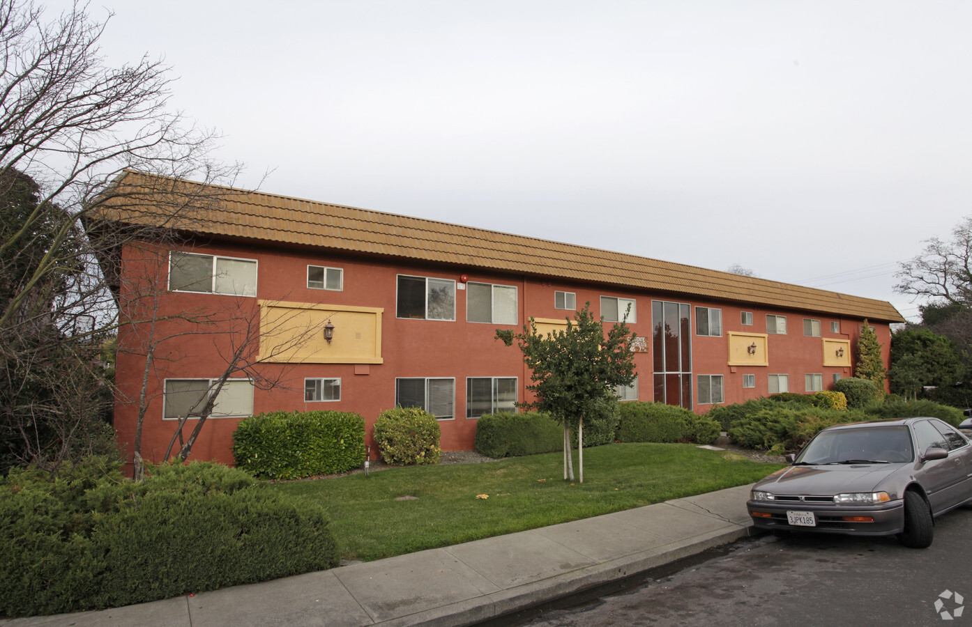
Property Record
415 7Th St, Petaluma, CA 94952


NEARBY LISTINGS FOR SALE OR LEASE
Property Detail
415 7Th St
Santa Rosa, CA
Petaluma
008-203-028
MAP F6 183
Apartment
Sonoma
X
California
06097C0982G
10,14
2024
1.33 AC
2023
Greater Petaluma
150701
North Bay/Santa Rosa
40,240 SF
DEMOGRAPHICS near 415 7Th St
1 Mile
3 Mile
5 Mile
2024 Total Population
14,379
61,319
66,245
2029 Population
14,261
60,495
65,175
Pop Growth 2024-2029
(0.82%)
(1.34%)
(1.62%)
Average Age
44
44
44
2024 Total Households
5,999
23,888
25,814
HH Growth 2024-2029
(0.85%)
(1.34%)
(1.62%)
Median Household Inc
$111,169
$109,959
$110,485
Avg Household Size
2.30
2.50
2.50
2024 Avg HH Vehicles
2.00
2.00
2.00
Median Home Value
$858,353
$781,348
$791,109
Median Year Built
1965
1979
1979
Nearby Places
- Restaurants
- Banks
- Shops
- Fitness
- Groceries
PUBLIC TRANSPORTATION
COMMUTER RAIL
Petaluma Downtown Smart (Main Line - Sonoma Marin Area Rail Transit)
DRIVE
WALK
Distance
Petaluma Downtown Smart (Main Line - Sonoma Marin Area Rail Transit)
2 min
17 min
0.9 mi
AIRPORT
Charles M Schulz - Sonoma County
DRIVE
WALK
Distance
Charles M Schulz - Sonoma County
34 min
25.3 mi
Freight Ports
Port of Richmond
DRIVE
WALK
Distance
Port of Richmond
46 min
32.8 mi
Nearby Properties
Address
Land Use
TOTAL SIZE
Lot Size
Zoning
Address
Land Use
TOTAL SIZE
Lot Size
Zoning
458,444 SF
32.23 AC
CITYPE
Address
Land Use
TOTAL SIZE
Lot Size
Zoning
8.34 AC
ML
Address
Land Use
TOTAL SIZE
Lot Size
Zoning
231,609 SF
8.05 AC
Address
Land Use
TOTAL SIZE
Lot Size
Zoning
5.03 AC
CITYPE
Address
Land Use
TOTAL SIZE
Lot Size
Zoning
40,925 SF
11.06 AC
CITYPE
Address
Land Use
TOTAL SIZE
Lot Size
Zoning
134,732 SF
2.05 AC
Address
Land Use
TOTAL SIZE
Lot Size
Zoning
165,541 SF
12.61 AC
Address
Land Use
TOTAL SIZE
Lot Size
Zoning
121,876 SF
16.14 AC
Address
Land Use
TOTAL SIZE
Lot Size
Zoning
137,270 SF
10.04 AC
Address
Land Use
TOTAL SIZE
Lot Size
Zoning
94,107 SF
2.66 AC
Address
Land Use
TOTAL SIZE
Lot Size
Zoning
98,382 SF
6.83 AC
SP
Address
Land Use
TOTAL SIZE
Lot Size
Zoning
89,944 SF
14.63 AC
CITYPE
Address
Land Use
TOTAL SIZE
Lot Size
Zoning
170,524 SF
14.53 AC
Address
Land Use
TOTAL SIZE
Lot Size
Zoning
149,242 SF
5.40 AC
CITYPE
Address
Land Use
TOTAL SIZE
Lot Size
Zoning
151,942 SF
5.85 AC
Address
Land Use
TOTAL SIZE
Lot Size
Zoning
80,392 SF
7.13 AC
Address
Land Use
TOTAL SIZE
Lot Size
Zoning
195,837 SF
16.32 AC
PCD
Address
Land Use
TOTAL SIZE
Lot Size
Zoning
85,582 SF
2.61 AC
CITYPE
Address
Land Use
TOTAL SIZE
Lot Size
Zoning
120,480 SF
6.87 AC
CITYPE
Address
Land Use
TOTAL SIZE
Lot Size
Zoning
81,975 SF
5 AC
Address
Land Use
TOTAL SIZE
Lot Size
Zoning
71,600 SF
9.78 AC
CITYPE
Address
Land Use
TOTAL SIZE
Lot Size
Zoning
94,000 SF
4.87 AC
Address
Land Use
TOTAL SIZE
Lot Size
Zoning
Address
Land Use
TOTAL SIZE
Lot Size
Zoning
93,700 SF
6.02 AC
ML
Address
Land Use
TOTAL SIZE
Lot Size
Zoning
41,302 SF
1.43 AC
CITYPE
Address
Land Use
TOTAL SIZE
Lot Size
Zoning
135,105 SF
7.54 AC
Address
Land Use
TOTAL SIZE
Lot Size
Zoning
80,000 SF
3.73 AC
Address
Land Use
TOTAL SIZE
Lot Size
Zoning
83,880 SF
5 AC
ML
Address
Land Use
TOTAL SIZE
Lot Size
Zoning
49,549 SF
4.02 AC
CITYPE
Address
Land Use
TOTAL SIZE
Lot Size
Zoning
The World's #1 Commercial Real Estate Marketplace
Connect with us
© 2025 CoStar Group
The information above has been obtained from sources believed reliable. While we do not doubt its accuracy we have not verified it and make no guarantee, warranty or representation about it. It is your responsibility to independently confirm its accuracy and completeness. Any projections, opinions, assumptions, or estimates used are for example only and do not represent the current or future performance of the property. The value of this transaction to you depends on tax and other factors which should be evaluated by your tax, financial, and legal advisors. You and your advisors should conduct a careful, independent investigation of the property to determine to your satisfaction the suitability of the property for your needs.