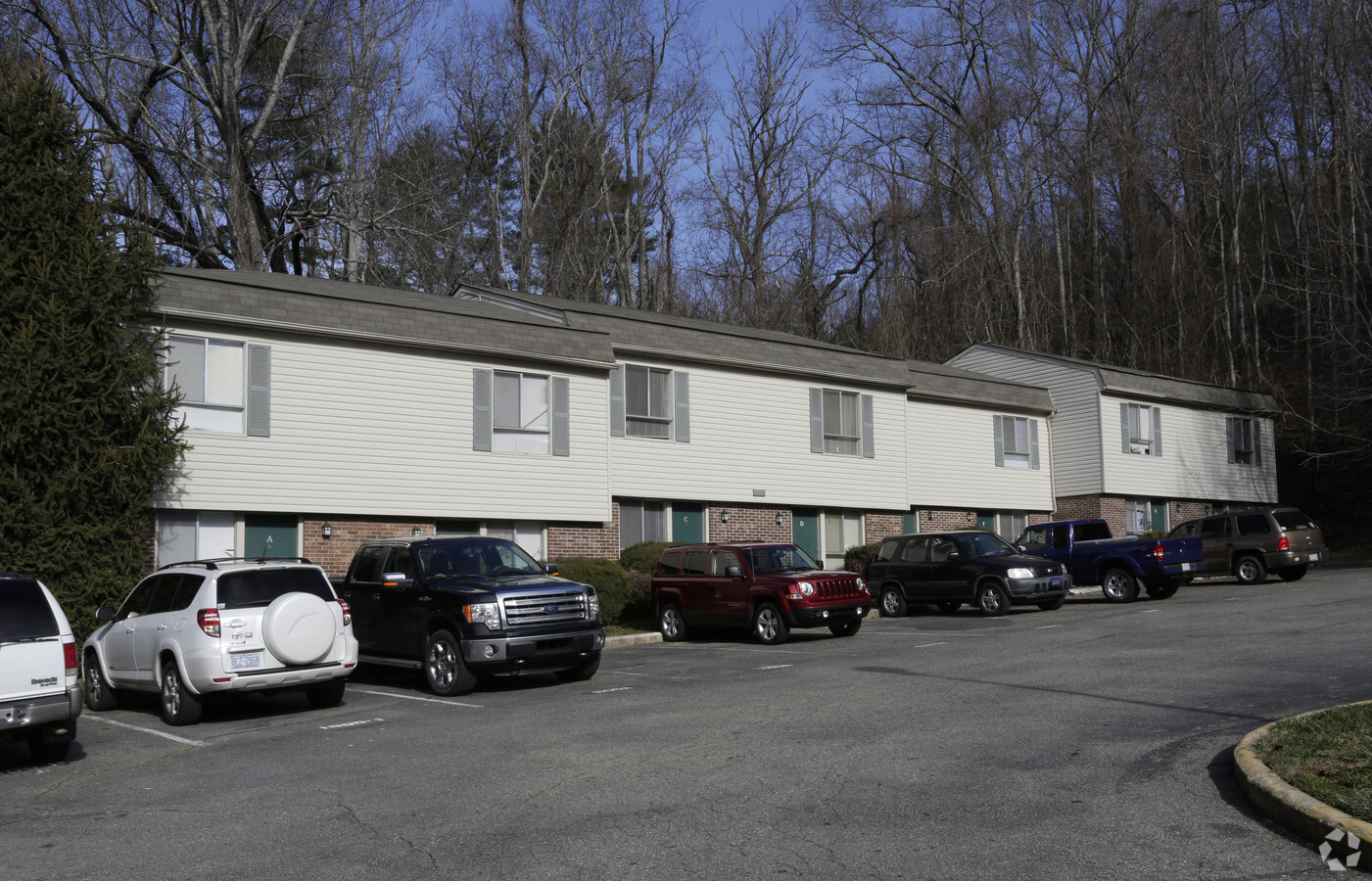
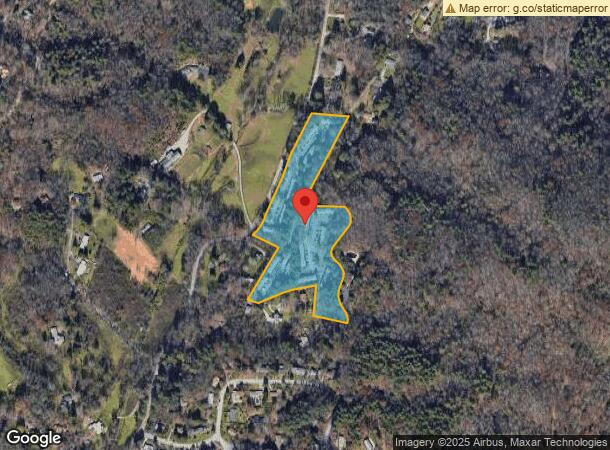
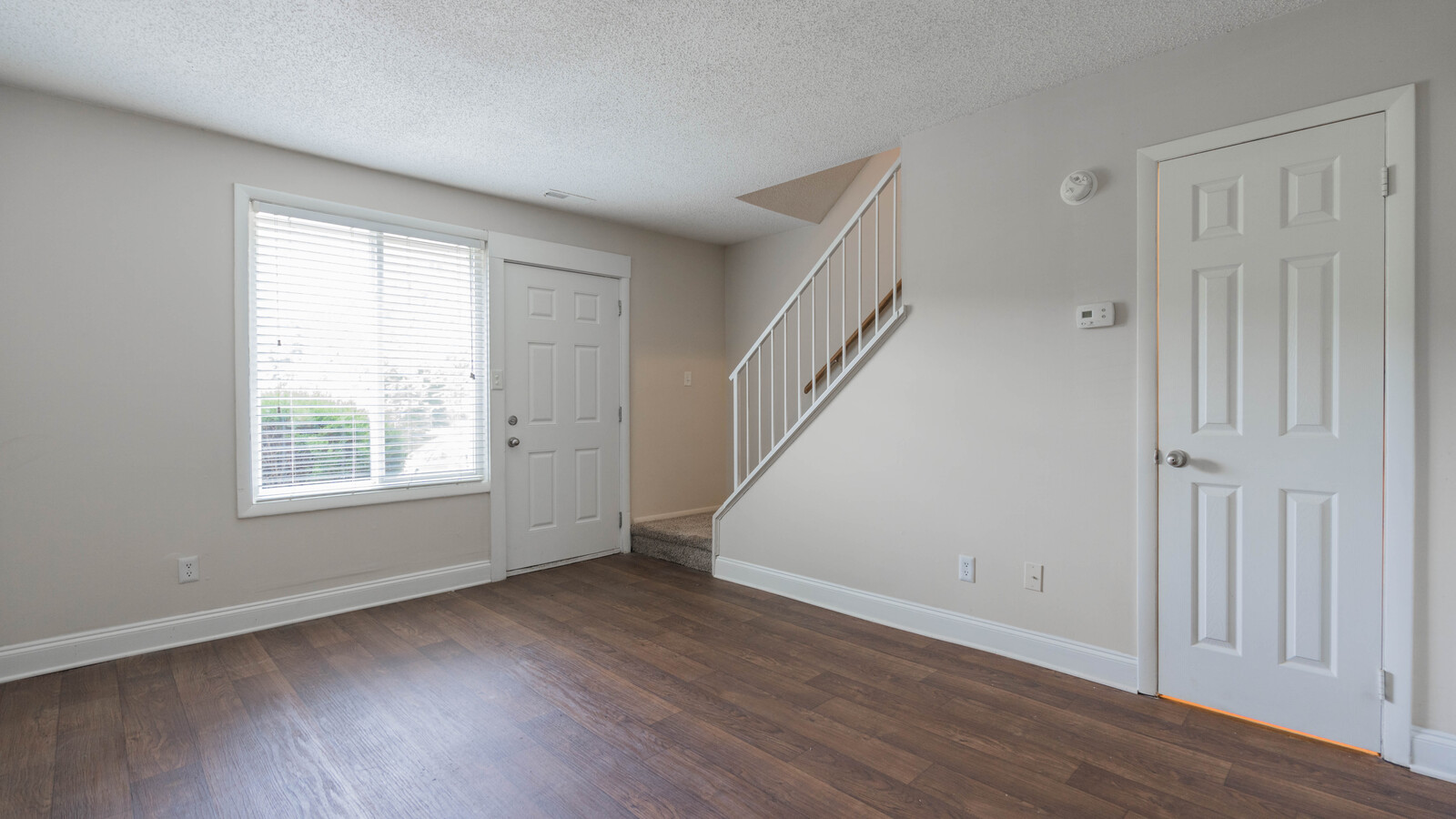
Property Record
415 Chunns Cove Rd, Asheville, NC 28805
NEARBY LISTINGS FOR SALE OR LEASE
Property Detail
415 Chunns Cove Rd
9659-24-1870-00000
Property Of Seaboard Corporation
Apartment
SUBDIV: BLOCK: LOT: SECTION: PLAT: 0000-0000
X
Buncombe
3700965900J
North Carolina
2023
10.13 AC
2023
Town Mountain
001801
Asheville
56,460 SF
Asheville, NC
DEMOGRAPHICS near 415 Chunns Cove Rd
1 Mile
3 Mile
5 Mile
2024 Total Population
2,606
46,151
89,930
2029 Population
2,717
47,843
93,225
Pop Growth 2024-2029
+ 4.26%
+ 3.67%
+ 3.66%
Average Age
49
43
43
2024 Total Households
1,410
21,763
40,595
HH Growth 2024-2029
+ 3.90%
+ 3.27%
+ 3.19%
Median Household Inc
$59,144
$63,181
$65,469
Avg Household Size
1.80
2.00
2.10
2024 Avg HH Vehicles
1.00
2.00
2.00
Median Home Value
$471,817
$429,472
$379,352
Median Year Built
1984
1972
1977
Nearby Places
- Restaurants
- Banks
- Shops
- Fitness
- Groceries
PUBLIC TRANSPORTATION
AIRPORT
Asheville Regional
DRIVE
WALK
Distance
Asheville Regional
25 min
17.2 mi
Freight Ports
North Charleston Terminal
DRIVE
WALK
Distance
North Charleston Terminal
297 min
261.0 mi
Nearby Properties
Address
Land Use
TOTAL SIZE
Lot Size
Zoning
Address
Land Use
TOTAL SIZE
Lot Size
Zoning
1,663,129 SF
27.85 AC
INST
Address
Land Use
TOTAL SIZE
Lot Size
Zoning
358,828 SF
137.57 AC
RESORT
Address
Land Use
TOTAL SIZE
Lot Size
Zoning
291,240 SF
86.10 AC
INST EXP
Address
Land Use
TOTAL SIZE
Lot Size
Zoning
40,152 SF
2.78 AC
CBD
Address
Land Use
TOTAL SIZE
Lot Size
Zoning
31,034 SF
1.12 AC
CBD
Address
Land Use
TOTAL SIZE
Lot Size
Zoning
94,776 SF
39.70 AC
INST
Address
Land Use
TOTAL SIZE
Lot Size
Zoning
109,294 SF
16.28 AC
RAD-IND
Address
Land Use
TOTAL SIZE
Lot Size
Zoning
94,004 SF
2.74 AC
CBD
Address
Land Use
TOTAL SIZE
Lot Size
Zoning
118,000 SF
0.17 AC
CBD
Address
Land Use
TOTAL SIZE
Lot Size
Zoning
125,122 SF
13.63 AC
UP
Address
Land Use
TOTAL SIZE
Lot Size
Zoning
64,634 SF
1.91 AC
CBD
Address
Land Use
TOTAL SIZE
Lot Size
Zoning
47,344 SF
0.71 AC
CBD
Address
Land Use
TOTAL SIZE
Lot Size
Zoning
51,476 SF
5.82 AC
CBD
Address
Land Use
TOTAL SIZE
Lot Size
Zoning
20,352 SF
0.67 AC
CBD
Address
Land Use
TOTAL SIZE
Lot Size
Zoning
426,688 SF
40.88 AC
RB
Address
Land Use
TOTAL SIZE
Lot Size
Zoning
50,248 SF
12.87 AC
INST
Address
Land Use
TOTAL SIZE
Lot Size
Zoning
47,729 SF
5.50 AC
CBD
Address
Land Use
TOTAL SIZE
Lot Size
Zoning
79,701 SF
15.26 AC
RM16
Address
Land Use
TOTAL SIZE
Lot Size
Zoning
18,444 SF
0.66 AC
CBD
Address
Land Use
TOTAL SIZE
Lot Size
Zoning
69,472 SF
0.99 AC
CBD
Address
Land Use
TOTAL SIZE
Lot Size
Zoning
30,000 SF
8.25 AC
INST
Address
Land Use
TOTAL SIZE
Lot Size
Zoning
114,700 SF
8.91 AC
RM16
Address
Land Use
TOTAL SIZE
Lot Size
Zoning
80,319 SF
CBD
Address
Land Use
TOTAL SIZE
Lot Size
Zoning
71,241 SF
7.75 AC
HB
Address
Land Use
TOTAL SIZE
Lot Size
Zoning
53,842 SF
8.08 AC
RM16
Address
Land Use
TOTAL SIZE
Lot Size
Zoning
45.86 AC
INST
Address
Land Use
TOTAL SIZE
Lot Size
Zoning
68,767 SF
11.59 AC
UP
Address
Land Use
TOTAL SIZE
Lot Size
Zoning
100,643 SF
15.06 AC
INST
Address
Land Use
TOTAL SIZE
Lot Size
Zoning
47,653 SF
0.45 AC
CBD
Address
Land Use
TOTAL SIZE
Lot Size
Zoning
16,041 SF
0.76 AC
CBD
The World's #1 Commercial Real Estate Marketplace
Connect with us
© 2025 CoStar Group
The information above has been obtained from sources believed reliable. While we do not doubt its accuracy we have not verified it and make no guarantee, warranty or representation about it. It is your responsibility to independently confirm its accuracy and completeness. Any projections, opinions, assumptions, or estimates used are for example only and do not represent the current or future performance of the property. The value of this transaction to you depends on tax and other factors which should be evaluated by your tax, financial, and legal advisors. You and your advisors should conduct a careful, independent investigation of the property to determine to your satisfaction the suitability of the property for your needs.