Property Record
4150 Deputy Bill Cantrell Memorial Rd, Cumming, GA 30040


NEARBY LISTINGS FOR SALE OR LEASE
Property Detail
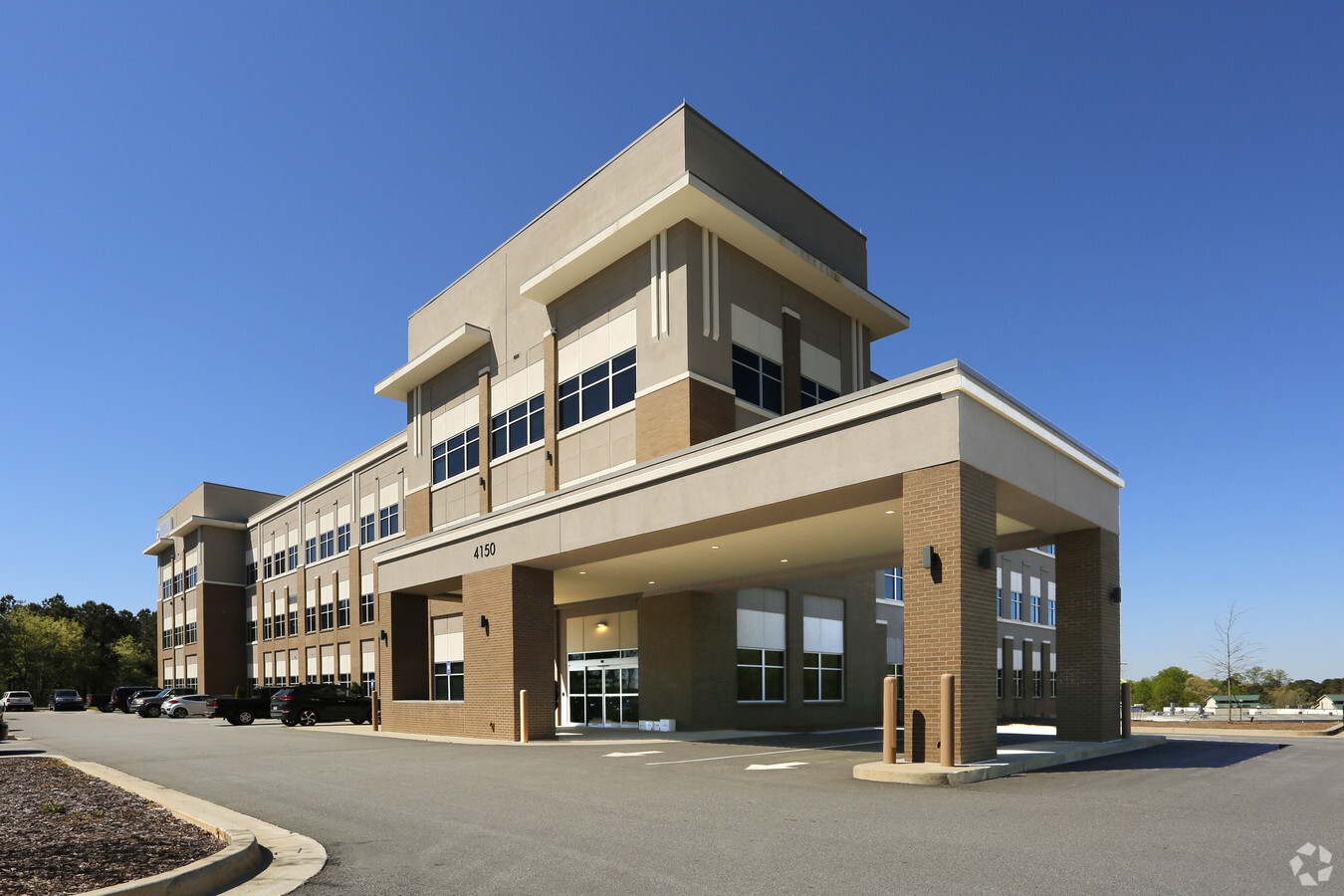
4150 Deputy Bill Cantrell Memorial Rd
152-081
Atlanta & Hutchinson Road
Commercialnec
2-1 227-226
X
Forsyth
13117C0142F
Georgia
2024
12.94 AC
2024
N Fulton/Forsyth County
130406
Atlanta
109,856 SF
Atlanta-Sandy Springs-Roswell, GA
DEMOGRAPHICS near 4150 Deputy Bill Cantrell Memorial Rd
1 Mile
3 Mile
5 Mile
2024 Total Population
5,668
47,791
124,954
2029 Population
6,574
55,567
145,015
Pop Growth 2024-2029
+ 15.98%
+ 16.27%
+ 16.05%
Average Age
37
39
39
2024 Total Households
2,040
16,318
41,988
HH Growth 2024-2029
+ 16.03%
+ 16.38%
+ 16.15%
Median Household Inc
$82,652
$110,408
$121,966
Avg Household Size
2.70
2.90
2.90
2024 Avg HH Vehicles
2.00
2.00
2.00
Median Home Value
$411,135
$412,404
$449,499
Median Year Built
2006
2004
2004
Nearby Places
- Restaurants
- Banks
- Shops
- Fitness
- Groceries
SALE & LEASE HISTORY
LISTING DATE
SALE/LEASE

Sep 26, 2016
For Lease
Feb 21, 2017
For Lease
Apr 13, 2018
For Lease
Nearby Properties
Address
Land Use
TOTAL SIZE
Lot Size
Zoning
Address
Land Use
TOTAL SIZE
Lot Size
Zoning
8,848 SF
15.75 AC
PUD
Address
Land Use
TOTAL SIZE
Lot Size
Zoning
475,011 SF
39.64 AC
CBD
Address
Land Use
TOTAL SIZE
Lot Size
Zoning
581,433 SF
31.45 AC
INST
Address
Land Use
TOTAL SIZE
Lot Size
Zoning
10.82 AC
PUD
Address
Land Use
TOTAL SIZE
Lot Size
Zoning
15,081 SF
27.53 AC
R3
Address
Land Use
TOTAL SIZE
Lot Size
Zoning
208,496 SF
23.61 AC
R3
Address
Land Use
TOTAL SIZE
Lot Size
Zoning
29,763 SF
20.36 AC
MP
Address
Land Use
TOTAL SIZE
Lot Size
Zoning
302,599 SF
35.89 AC
R3
Address
Land Use
TOTAL SIZE
Lot Size
Zoning
173,374 SF
32.90 AC
CBD
Address
Land Use
TOTAL SIZE
Lot Size
Zoning
15,600 SF
21.98 AC
R3
Address
Land Use
TOTAL SIZE
Lot Size
Zoning
141,650 SF
21.58 AC
M1
Address
Land Use
TOTAL SIZE
Lot Size
Zoning
95,926 SF
34.26 AC
HB
Address
Land Use
TOTAL SIZE
Lot Size
Zoning
149,540 SF
43.76 AC
INST
Address
Land Use
TOTAL SIZE
Lot Size
Zoning
16.56 AC
MP
Address
Land Use
TOTAL SIZE
Lot Size
Zoning
60,235 SF
11.94 AC
CBD
Address
Land Use
TOTAL SIZE
Lot Size
Zoning
120,750 SF
9.37 AC
INST
Address
Land Use
TOTAL SIZE
Lot Size
Zoning
24.78 AC
INST
Address
Land Use
TOTAL SIZE
Lot Size
Zoning
11,737 SF
34.75 AC
A1
Address
Land Use
TOTAL SIZE
Lot Size
Zoning
42.50 AC
RES3
Address
Land Use
TOTAL SIZE
Lot Size
Zoning
2,376 SF
68.90 AC
A1
Address
Land Use
TOTAL SIZE
Lot Size
Zoning
99,232 SF
Address
Land Use
TOTAL SIZE
Lot Size
Zoning
24,396 SF
72.23 AC
A1
Address
Land Use
TOTAL SIZE
Lot Size
Zoning
290,701 SF
70.48 AC
A1
Address
Land Use
TOTAL SIZE
Lot Size
Zoning
85,398 SF
Address
Land Use
TOTAL SIZE
Lot Size
Zoning
152,562 SF
12.80 AC
R3
Address
Land Use
TOTAL SIZE
Lot Size
Zoning
159,291 SF
29.19 AC
MU
Address
Land Use
TOTAL SIZE
Lot Size
Zoning
268,761 SF
55.50 AC
INST
Address
Land Use
TOTAL SIZE
Lot Size
Zoning
65,364 SF
15.29 AC
PSC
Address
Land Use
TOTAL SIZE
Lot Size
Zoning
1,600 SF
85.02 AC
RES3
The World's #1 Commercial Real Estate Marketplace
Connect with us
© 2025 CoStar Group
The information above has been obtained from sources believed reliable. While we do not doubt its accuracy we have not verified it and make no guarantee, warranty or representation about it. It is your responsibility to independently confirm its accuracy and completeness. Any projections, opinions, assumptions, or estimates used are for example only and do not represent the current or future performance of the property. The value of this transaction to you depends on tax and other factors which should be evaluated by your tax, financial, and legal advisors. You and your advisors should conduct a careful, independent investigation of the property to determine to your satisfaction the suitability of the property for your needs.