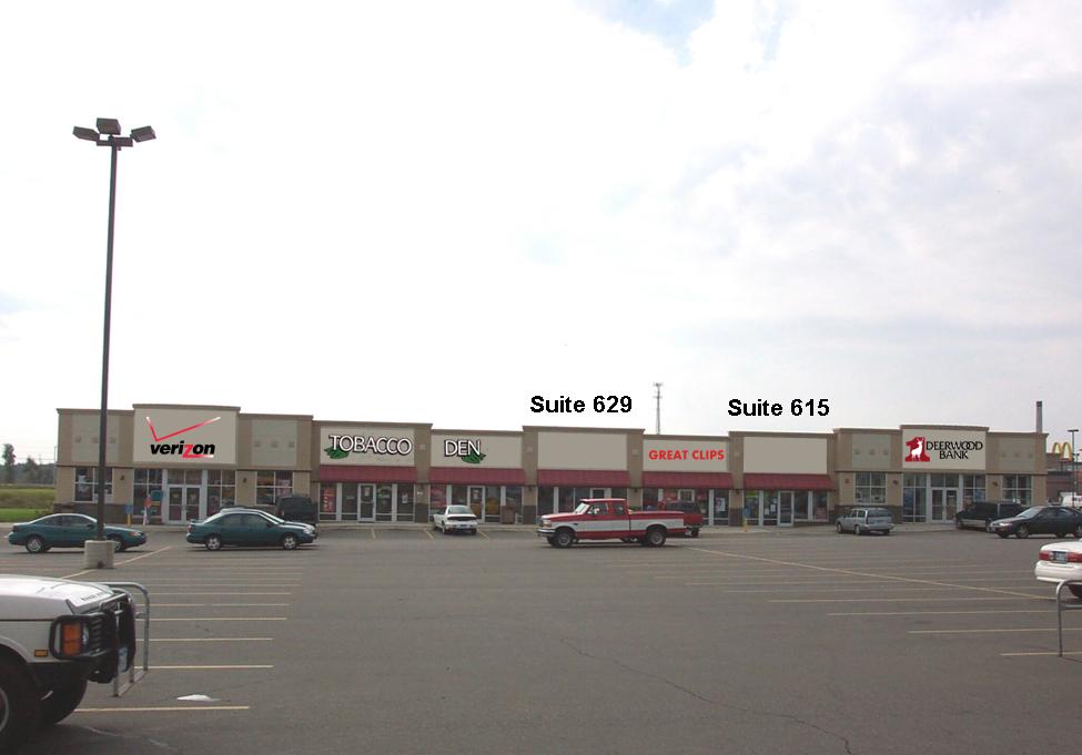
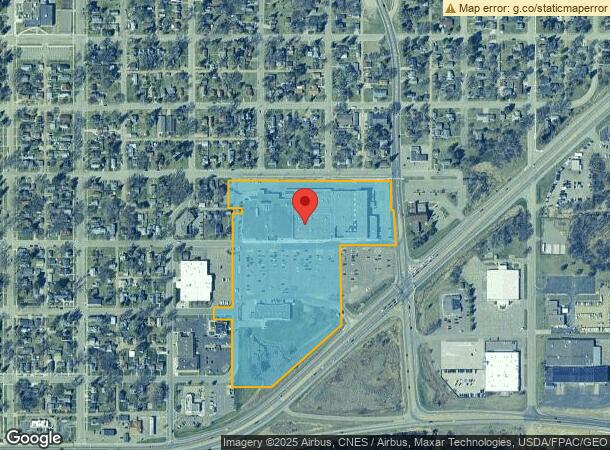
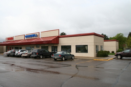
Property Record
417 8Th Ave Ne, Brainerd, MN 56401
NEARBY LISTINGS FOR SALE OR LEASE
Property Detail
417 8Th Ave Ne
Brainerd, MN
Haines Add To Th Town Of
050194000EA0009
ALL THAT PART OF SW1/4 OF SE1/4, AND OF THE SE1/4 OF SW1/4 SEC 19, AND LOTS 1,2, AND 3, BLK 13, EAST
Supermarket
Crow Wing
X
Minnesota
27035C0531C
1,2
2024
16.09 AC
2024
Minnesota Central Area
951000
Other Market Areas
61,704 SF
DEMOGRAPHICS near 417 8Th Ave Ne
1 Mile
3 Mile
5 Mile
2024 Total Population
5,382
16,127
22,213
2029 Population
5,576
16,792
23,155
Pop Growth 2024-2029
+ 3.60%
+ 4.12%
+ 4.24%
Average Age
37
39
40
2024 Total Households
2,217
6,713
9,070
HH Growth 2024-2029
+ 3.20%
+ 3.77%
+ 3.90%
Median Household Inc
$44,819
$51,714
$54,568
Avg Household Size
2.30
2.20
2.30
2024 Avg HH Vehicles
2.00
2.00
2.00
Median Home Value
$144,041
$170,087
$184,549
Median Year Built
1961
1974
1980
Nearby Places
- Restaurants
- Banks
- Shops
- Fitness
- Groceries
SALE & LEASE HISTORY
LISTING DATE
SALE/LEASE

Sep 25, 2016
For Lease
Nearby Properties
Address
Land Use
TOTAL SIZE
Lot Size
Zoning
Address
Land Use
TOTAL SIZE
Lot Size
Zoning
320,708 SF
35.89 AC
Address
Land Use
TOTAL SIZE
Lot Size
Zoning
3,829 SF
1.04 AC
Address
Land Use
TOTAL SIZE
Lot Size
Zoning
186,000 SF
8.71 AC
Address
Land Use
TOTAL SIZE
Lot Size
Zoning
229,123 SF
11.84 AC
Address
Land Use
TOTAL SIZE
Lot Size
Zoning
31,074 SF
638.70 AC
Address
Land Use
TOTAL SIZE
Lot Size
Zoning
128,295 SF
2.08 AC
Address
Land Use
TOTAL SIZE
Lot Size
Zoning
110,624 SF
5.62 AC
Address
Land Use
TOTAL SIZE
Lot Size
Zoning
91,464 SF
4.83 AC
Address
Land Use
TOTAL SIZE
Lot Size
Zoning
25,104 SF
18.43 AC
Address
Land Use
TOTAL SIZE
Lot Size
Zoning
50,741 SF
8.09 AC
Address
Land Use
TOTAL SIZE
Lot Size
Zoning
83,078 SF
9.71 AC
Address
Land Use
TOTAL SIZE
Lot Size
Zoning
2.96 AC
Address
Land Use
TOTAL SIZE
Lot Size
Zoning
90,147 SF
12.93 AC
Address
Land Use
TOTAL SIZE
Lot Size
Zoning
57,426 SF
2.61 AC
Address
Land Use
TOTAL SIZE
Lot Size
Zoning
147,014 SF
15.71 AC
Address
Land Use
TOTAL SIZE
Lot Size
Zoning
69,515 SF
2.14 AC
Address
Land Use
TOTAL SIZE
Lot Size
Zoning
66,967 SF
2.95 AC
Address
Land Use
TOTAL SIZE
Lot Size
Zoning
68,643 SF
2.34 AC
Address
Land Use
TOTAL SIZE
Lot Size
Zoning
87,007 SF
4.97 AC
Address
Land Use
TOTAL SIZE
Lot Size
Zoning
30,819 SF
9.36 AC
Address
Land Use
TOTAL SIZE
Lot Size
Zoning
Address
Land Use
TOTAL SIZE
Lot Size
Zoning
50,344 SF
12.62 AC
Address
Land Use
TOTAL SIZE
Lot Size
Zoning
68,564 SF
3.41 AC
Address
Land Use
TOTAL SIZE
Lot Size
Zoning
64,719 SF
2.06 AC
Address
Land Use
TOTAL SIZE
Lot Size
Zoning
64,719 SF
2.19 AC
Address
Land Use
TOTAL SIZE
Lot Size
Zoning
47,378 SF
1.56 AC
Address
Land Use
TOTAL SIZE
Lot Size
Zoning
34,033 SF
9.81 AC
Address
Land Use
TOTAL SIZE
Lot Size
Zoning
48,324 SF
3.63 AC
Address
Land Use
TOTAL SIZE
Lot Size
Zoning
100,000 SF
51.22 AC
The World's #1 Commercial Real Estate Marketplace
Connect with us
© 2025 CoStar Group
The information above has been obtained from sources believed reliable. While we do not doubt its accuracy we have not verified it and make no guarantee, warranty or representation about it. It is your responsibility to independently confirm its accuracy and completeness. Any projections, opinions, assumptions, or estimates used are for example only and do not represent the current or future performance of the property. The value of this transaction to you depends on tax and other factors which should be evaluated by your tax, financial, and legal advisors. You and your advisors should conduct a careful, independent investigation of the property to determine to your satisfaction the suitability of the property for your needs.