Property Record
420 N Webster St, Taylorville, IL 62568
NEARBY LISTINGS FOR SALE OR LEASE
Property Detail
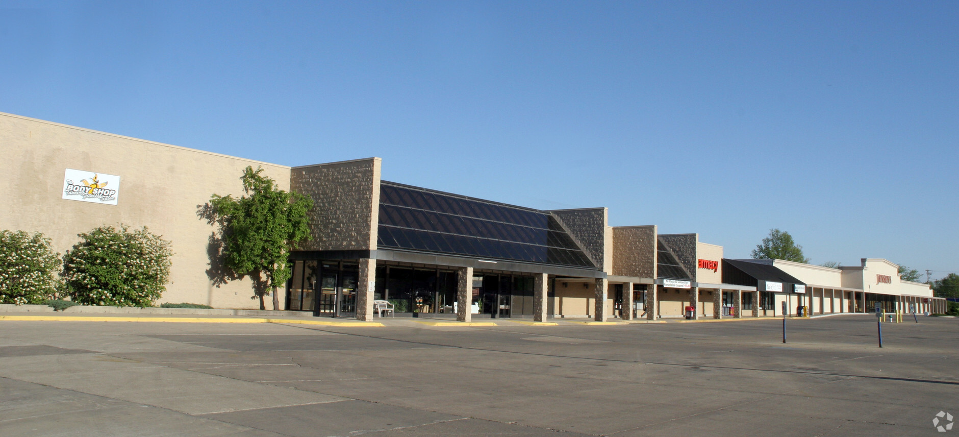
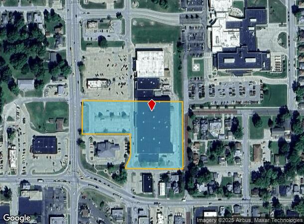
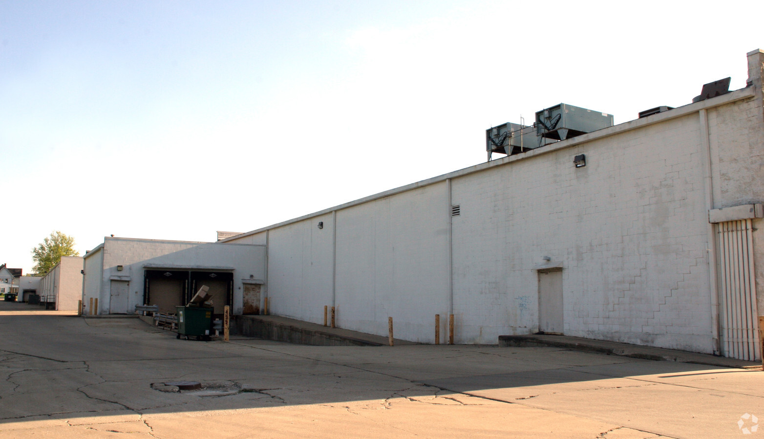
420 N Webster St
Taylorville, IL
Palmer Bank Minor Sub
17-13-22-403-014-00
PALMER BANK MINOR SUBDIVISION LOT 1 170203.000 13-22-G
Commercialnec
Christian
X
Illinois
17021C0275D
1
2023
4.37 AC
2023
Effingham/Central Illinois Area
958400
Other Market Areas
DEMOGRAPHICS near 420 N Webster St
1 Mile
3 Mile
5 Mile
2024 Total Population
8,851
11,805
14,545
2029 Population
8,768
11,626
14,259
Pop Growth 2024-2029
(0.94%)
(1.52%)
(1.97%)
Average Age
42
43
43
2024 Total Households
4,089
5,354
6,173
HH Growth 2024-2029
(1.08%)
(1.61%)
(2.02%)
Median Household Inc
$46,415
$48,354
$50,724
Avg Household Size
2.10
2.10
2.20
2024 Avg HH Vehicles
2.00
2.00
2.00
Median Home Value
$88,915
$96,847
$110,852
Median Year Built
1963
1967
1969
Nearby Places
- Restaurants
- Banks
- Shops
- Fitness
- Groceries
PUBLIC TRANSPORTATION
AIRPORT
Abraham Lincoln Capital
DRIVE
WALK
Distance
Abraham Lincoln Capital
45 min
32.1 mi
Freight Ports
Port Milwaukee
DRIVE
WALK
Distance
Port Milwaukee
339 min
296.4 mi
Nearby Properties
Address
Land Use
TOTAL SIZE
Lot Size
Zoning
Address
Land Use
TOTAL SIZE
Lot Size
Zoning
2.48 AC
R-2
Address
Land Use
TOTAL SIZE
Lot Size
Zoning
17.15 AC
C-2
Address
Land Use
TOTAL SIZE
Lot Size
Zoning
12.80 AC
I-1
Address
Land Use
TOTAL SIZE
Lot Size
Zoning
17 AC
I-2
Address
Land Use
TOTAL SIZE
Lot Size
Zoning
1.88 AC
C-1 & C-2
Address
Land Use
TOTAL SIZE
Lot Size
Zoning
3.06 AC
C-2
Address
Land Use
TOTAL SIZE
Lot Size
Zoning
27,945 SF
2.77 AC
R-1 & I-2
Address
Land Use
TOTAL SIZE
Lot Size
Zoning
4.23 AC
R-2
Address
Land Use
TOTAL SIZE
Lot Size
Zoning
1.32 AC
C-2
Address
Land Use
TOTAL SIZE
Lot Size
Zoning
2.42 AC
C-2
Address
Land Use
TOTAL SIZE
Lot Size
Zoning
3.75 AC
C-2
Address
Land Use
TOTAL SIZE
Lot Size
Zoning
8,032 SF
0.12 AC
R-2
Address
Land Use
TOTAL SIZE
Lot Size
Zoning
1.08 AC
C-2
Address
Land Use
TOTAL SIZE
Lot Size
Zoning
1.70 AC
C-2
Address
Land Use
TOTAL SIZE
Lot Size
Zoning
1.13 AC
C-2
Address
Land Use
TOTAL SIZE
Lot Size
Zoning
5.63 AC
C-1 & C-2
Address
Land Use
TOTAL SIZE
Lot Size
Zoning
2.38 AC
C-1
Address
Land Use
TOTAL SIZE
Lot Size
Zoning
5.45 AC
C-2
Address
Land Use
TOTAL SIZE
Lot Size
Zoning
4.98 AC
C-1 & R-1
Address
Land Use
TOTAL SIZE
Lot Size
Zoning
Address
Land Use
TOTAL SIZE
Lot Size
Zoning
3.86 AC
I-2
Address
Land Use
TOTAL SIZE
Lot Size
Zoning
Address
Land Use
TOTAL SIZE
Lot Size
Zoning
1.16 AC
C-1
Address
Land Use
TOTAL SIZE
Lot Size
Zoning
6.95 AC
I-2
Address
Land Use
TOTAL SIZE
Lot Size
Zoning
0.98 AC
C-1
Address
Land Use
TOTAL SIZE
Lot Size
Zoning
6,560 SF
1.38 AC
R-2
Address
Land Use
TOTAL SIZE
Lot Size
Zoning
1.21 AC
C-1
Address
Land Use
TOTAL SIZE
Lot Size
Zoning
0.32 AC
C-1
Address
Land Use
TOTAL SIZE
Lot Size
Zoning
5.40 AC
I-2
The World's #1 Commercial Real Estate Marketplace
Connect with us
© 2025 CoStar Group
The information above has been obtained from sources believed reliable. While we do not doubt its accuracy we have not verified it and make no guarantee, warranty or representation about it. It is your responsibility to independently confirm its accuracy and completeness. Any projections, opinions, assumptions, or estimates used are for example only and do not represent the current or future performance of the property. The value of this transaction to you depends on tax and other factors which should be evaluated by your tax, financial, and legal advisors. You and your advisors should conduct a careful, independent investigation of the property to determine to your satisfaction the suitability of the property for your needs.