Property Record
4200 Davenport St Nw, Washington, DC 20016


NEARBY LISTINGS FOR SALE OR LEASE
Property Detail
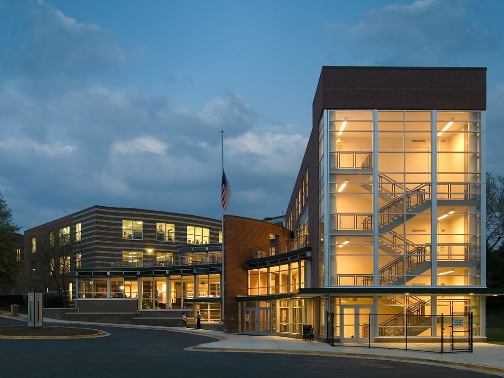
4200 Davenport St Nw
Washington-Arlington-Alexandria, DC-VA-MD-WV
American University
1673-0825
SQUARE 1673 LOT 0825 NBHD: AMERICAN UNIVERSITY
Publichealthcarefacility
District of Columbia
X
District of Columbia
1100010004C
825
0
7.95 AC
2024
Uptown
001004
Washington, DC
68,000 SF
DEMOGRAPHICS near 4200 Davenport St Nw
1 Mile
3 Mile
5 Mile
2024 Total Population
33,165
192,937
604,932
2029 Population
30,929
179,989
569,663
Pop Growth 2024-2029
(6.74%)
(6.71%)
(5.83%)
Average Age
44
41
39
2024 Total Households
15,717
87,485
274,744
HH Growth 2024-2029
(6.48%)
(7.26%)
(6.58%)
Median Household Inc
$136,435
$139,819
$124,517
Avg Household Size
2.00
2.10
2.10
2024 Avg HH Vehicles
1.00
1.00
1.00
Median Home Value
$1,016,064
$1,022,727
$871,583
Median Year Built
1961
1955
1960
Nearby Places
- Restaurants
- Banks
- Shops
- Fitness
- Groceries
PUBLIC TRANSPORTATION
TRANSIT/SUBWAY
Tenleytown-Au (Red Line - Washington Metropolitan Area Transit Authority Metrorail (Metrorail))
DRIVE
WALK
Distance
Tenleytown-Au (Red Line - Washington Metropolitan Area Transit Authority Metrorail (Metrorail))
1 min
7 min
0.4 mi
Friendship Heights (Red Line - Washington Metropolitan Area Transit Authority Metrorail (Metrorail))
DRIVE
WALK
Distance
Friendship Heights (Red Line - Washington Metropolitan Area Transit Authority Metrorail (Metrorail))
2 min
12 min
0.6 mi
COMMUTER RAIL
Kensington (Brunswick Line - Maryland Area Regional Commuter Trains (The MARC))
DRIVE
WALK
Distance
Kensington (Brunswick Line - Maryland Area Regional Commuter Trains (The MARC))
13 min
6.0 mi
Silver Spring (Brunswick Line - Maryland Area Regional Commuter Trains (The MARC))
DRIVE
WALK
Distance
Silver Spring (Brunswick Line - Maryland Area Regional Commuter Trains (The MARC))
12 min
6.1 mi
AIRPORT
Ronald Reagan Washington Ntl
DRIVE
WALK
Distance
Ronald Reagan Washington Ntl
19 min
9.5 mi
Washington Dulles International
DRIVE
WALK
Distance
Washington Dulles International
42 min
24.3 mi
Baltimore/Washington International Thurgood Marshall
DRIVE
WALK
Distance
Baltimore/Washington International Thurgood Marshall
51 min
36.4 mi
Freight Ports
Port of Baltimore
DRIVE
WALK
Distance
Port of Baltimore
55 min
39.2 mi
Nearby Properties
Address
Land Use
TOTAL SIZE
Lot Size
Zoning
Address
Land Use
TOTAL SIZE
Lot Size
Zoning
788,000 SF
CR5
Address
Land Use
TOTAL SIZE
Lot Size
Zoning
553,914 SF
55.91 AC
R-1-B
Address
Land Use
TOTAL SIZE
Lot Size
Zoning
77.26 AC
R-3
Address
Land Use
TOTAL SIZE
Lot Size
Zoning
247,900 SF
170.58 AC
UNZONED
Address
Land Use
TOTAL SIZE
Lot Size
Zoning
900,000 SF
12.60 AC
RA-4
Address
Land Use
TOTAL SIZE
Lot Size
Zoning
997,890 SF
6.30 AC
CR3.0
Address
Land Use
TOTAL SIZE
Lot Size
Zoning
Address
Land Use
TOTAL SIZE
Lot Size
Zoning
795,214 SF
MU-5A
Address
Land Use
TOTAL SIZE
Lot Size
Zoning
216 SF
97.34 AC
R-1-B,R-3,
Address
Land Use
TOTAL SIZE
Lot Size
Zoning
362,643 SF
CR
Address
Land Use
TOTAL SIZE
Lot Size
Zoning
579,243 SF
1.89 AC
CR8.0
Address
Land Use
TOTAL SIZE
Lot Size
Zoning
750,000 SF
3.48 AC
CR5.0
Address
Land Use
TOTAL SIZE
Lot Size
Zoning
30,264 SF
43.94 AC
RA-1
Address
Land Use
TOTAL SIZE
Lot Size
Zoning
1,180,000 SF
35.70 AC
R90
Address
Land Use
TOTAL SIZE
Lot Size
Zoning
528 SF
296.59 AC
R-3,R-1-B,
Address
Land Use
TOTAL SIZE
Lot Size
Zoning
930,240 SF
2.32 AC
CR3.0
Address
Land Use
TOTAL SIZE
Lot Size
Zoning
505,408 SF
12.46 AC
RA-1
Address
Land Use
TOTAL SIZE
Lot Size
Zoning
69.17 AC
,R-1-B
Address
Land Use
TOTAL SIZE
Lot Size
Zoning
244,615 SF
19.61 AC
R-1A/FH
Address
Land Use
TOTAL SIZE
Lot Size
Zoning
287,183 SF
0.59 AC
CR5
Address
Land Use
TOTAL SIZE
Lot Size
Zoning
187,588 SF
13.19 AC
R-1-B
Address
Land Use
TOTAL SIZE
Lot Size
Zoning
1,053,971 SF
4.19 AC
R-8,RA-4
Address
Land Use
TOTAL SIZE
Lot Size
Zoning
451,948 SF
1.08 AC
CR5.0
Address
Land Use
TOTAL SIZE
Lot Size
Zoning
7,770 SF
13.60 AC
R-1-A
Address
Land Use
TOTAL SIZE
Lot Size
Zoning
13,040 SF
166.53 AC
PDR-1,UNZO
Address
Land Use
TOTAL SIZE
Lot Size
Zoning
918,256 SF
5.26 AC
RA-2
Address
Land Use
TOTAL SIZE
Lot Size
Zoning
426,350 SF
8.22 AC
CR2.0
Address
Land Use
TOTAL SIZE
Lot Size
Zoning
1,704 SF
16.30 AC
R-1-A
Address
Land Use
TOTAL SIZE
Lot Size
Zoning
72,527 SF
16.25 AC
R-1-B
The World's #1 Commercial Real Estate Marketplace
Connect with us
© 2025 CoStar Group
The information above has been obtained from sources believed reliable. While we do not doubt its accuracy we have not verified it and make no guarantee, warranty or representation about it. It is your responsibility to independently confirm its accuracy and completeness. Any projections, opinions, assumptions, or estimates used are for example only and do not represent the current or future performance of the property. The value of this transaction to you depends on tax and other factors which should be evaluated by your tax, financial, and legal advisors. You and your advisors should conduct a careful, independent investigation of the property to determine to your satisfaction the suitability of the property for your needs.