Property Record
42102 N Vision Way, Phoenix, AZ 85086

NEARBY LISTINGS FOR SALE OR LEASE
-
-
View all Phoenix listings for sale on LoopNet.com
Property Detail
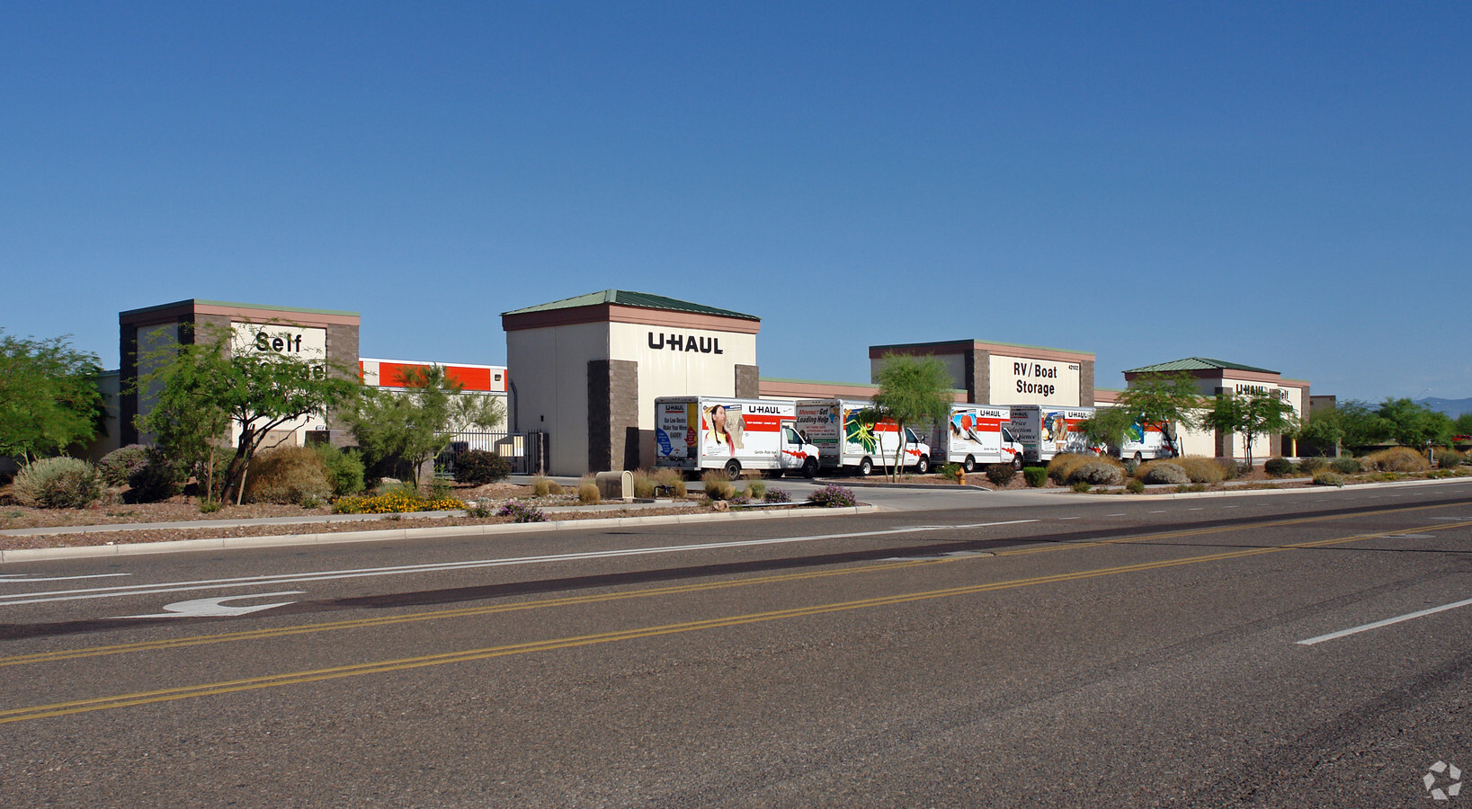
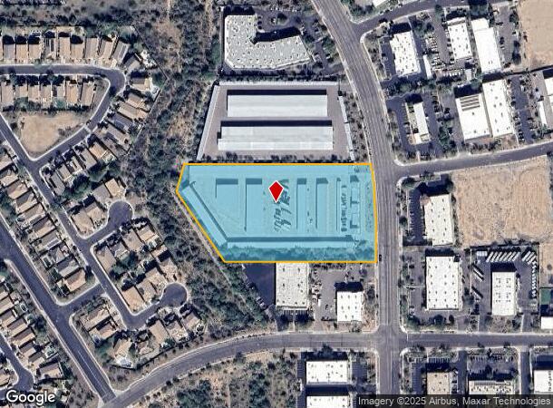
42102 N Vision Way
Phoenix-Mesa-Scottsdale, AZ
Anthem Commerce Park 33.2
203-03-039
ANTHEM COMMERCE PARK 33.2 MCR 537-26
Publicstorage
Maricopa
X
Arizona
04013C0835L
29
2024
5.19 AC
2025
North I-17
610500
Phoenix
46,029 SF
DEMOGRAPHICS near 42102 N Vision Way
1 Mile
3 Mile
5 Mile
2024 Total Population
7,391
27,140
43,856
2029 Population
7,973
29,271
47,347
Pop Growth 2024-2029
+ 7.87%
+ 7.85%
+ 7.96%
Average Age
38
42
42
2024 Total Households
2,411
9,067
15,247
HH Growth 2024-2029
+ 7.88%
+ 7.82%
+ 7.94%
Median Household Inc
$104,141
$111,900
$112,731
Avg Household Size
2.90
2.80
2.70
2024 Avg HH Vehicles
2.00
2.00
2.00
Median Home Value
$389,386
$454,187
$463,706
Median Year Built
2005
2004
2004
Nearby Places
- Restaurants
- Banks
- Shops
- Fitness
- Groceries
Nearby Properties
Address
Land Use
TOTAL SIZE
Lot Size
Zoning
Address
Land Use
TOTAL SIZE
Lot Size
Zoning
306,185 SF
60 AC
R-2
Address
Land Use
TOTAL SIZE
Lot Size
Zoning
324,653 SF
48.16 AC
C-C
Address
Land Use
TOTAL SIZE
Lot Size
Zoning
390,032 SF
19.70 AC
M-H
Address
Land Use
TOTAL SIZE
Lot Size
Zoning
208,981 SF
22.09 AC
C-C
Address
Land Use
TOTAL SIZE
Lot Size
Zoning
86,142 SF
16.03 AC
R-7
Address
Land Use
TOTAL SIZE
Lot Size
Zoning
84,515 SF
14.14 AC
R-7
Address
Land Use
TOTAL SIZE
Lot Size
Zoning
10.25 AC
C2
Address
Land Use
TOTAL SIZE
Lot Size
Zoning
11,982 SF
1.01 AC
I-L
Address
Land Use
TOTAL SIZE
Lot Size
Zoning
113,519 SF
12.18 AC
C-C
Address
Land Use
TOTAL SIZE
Lot Size
Zoning
79,802 SF
15 AC
R-6
Address
Land Use
TOTAL SIZE
Lot Size
Zoning
144,316 SF
6.40 AC
C-T
Address
Land Use
TOTAL SIZE
Lot Size
Zoning
54,866 SF
9.50 AC
C-C
Address
Land Use
TOTAL SIZE
Lot Size
Zoning
57,601 SF
8.16 AC
RU43
Address
Land Use
TOTAL SIZE
Lot Size
Zoning
119,647 SF
8.70 AC
R-8
Address
Land Use
TOTAL SIZE
Lot Size
Zoning
77,274 SF
7.34 AC
C-C
Address
Land Use
TOTAL SIZE
Lot Size
Zoning
119,810 SF
7.50 AC
C-T
Address
Land Use
TOTAL SIZE
Lot Size
Zoning
15,854 SF
24.69 AC
R-8
Address
Land Use
TOTAL SIZE
Lot Size
Zoning
53,242 SF
4.54 AC
C-C
Address
Land Use
TOTAL SIZE
Lot Size
Zoning
44,055 SF
4.54 AC
C2
Address
Land Use
TOTAL SIZE
Lot Size
Zoning
44,502 SF
2.17 AC
C-C
Address
Land Use
TOTAL SIZE
Lot Size
Zoning
24,469 SF
3.52 AC
R-43AG
Address
Land Use
TOTAL SIZE
Lot Size
Zoning
35,503 SF
14.48 AC
C-C
Address
Land Use
TOTAL SIZE
Lot Size
Zoning
69,802 SF
5.21 AC
C-C
Address
Land Use
TOTAL SIZE
Lot Size
Zoning
18,486 SF
4.76 AC
R-7
Address
Land Use
TOTAL SIZE
Lot Size
Zoning
32,729 SF
4.10 AC
C-C
Address
Land Use
TOTAL SIZE
Lot Size
Zoning
31,077 SF
5.33 AC
C-C
Address
Land Use
TOTAL SIZE
Lot Size
Zoning
20,782 SF
2.57 AC
C-T
Address
Land Use
TOTAL SIZE
Lot Size
Zoning
59,400 SF
2.50 AC
C-C
Address
Land Use
TOTAL SIZE
Lot Size
Zoning
24,842 SF
2.43 AC
C-C
The World's #1 Commercial Real Estate Marketplace
Connect with us
© 2025 CoStar Group
The information above has been obtained from sources believed reliable. While we do not doubt its accuracy we have not verified it and make no guarantee, warranty or representation about it. It is your responsibility to independently confirm its accuracy and completeness. Any projections, opinions, assumptions, or estimates used are for example only and do not represent the current or future performance of the property. The value of this transaction to you depends on tax and other factors which should be evaluated by your tax, financial, and legal advisors. You and your advisors should conduct a careful, independent investigation of the property to determine to your satisfaction the suitability of the property for your needs.