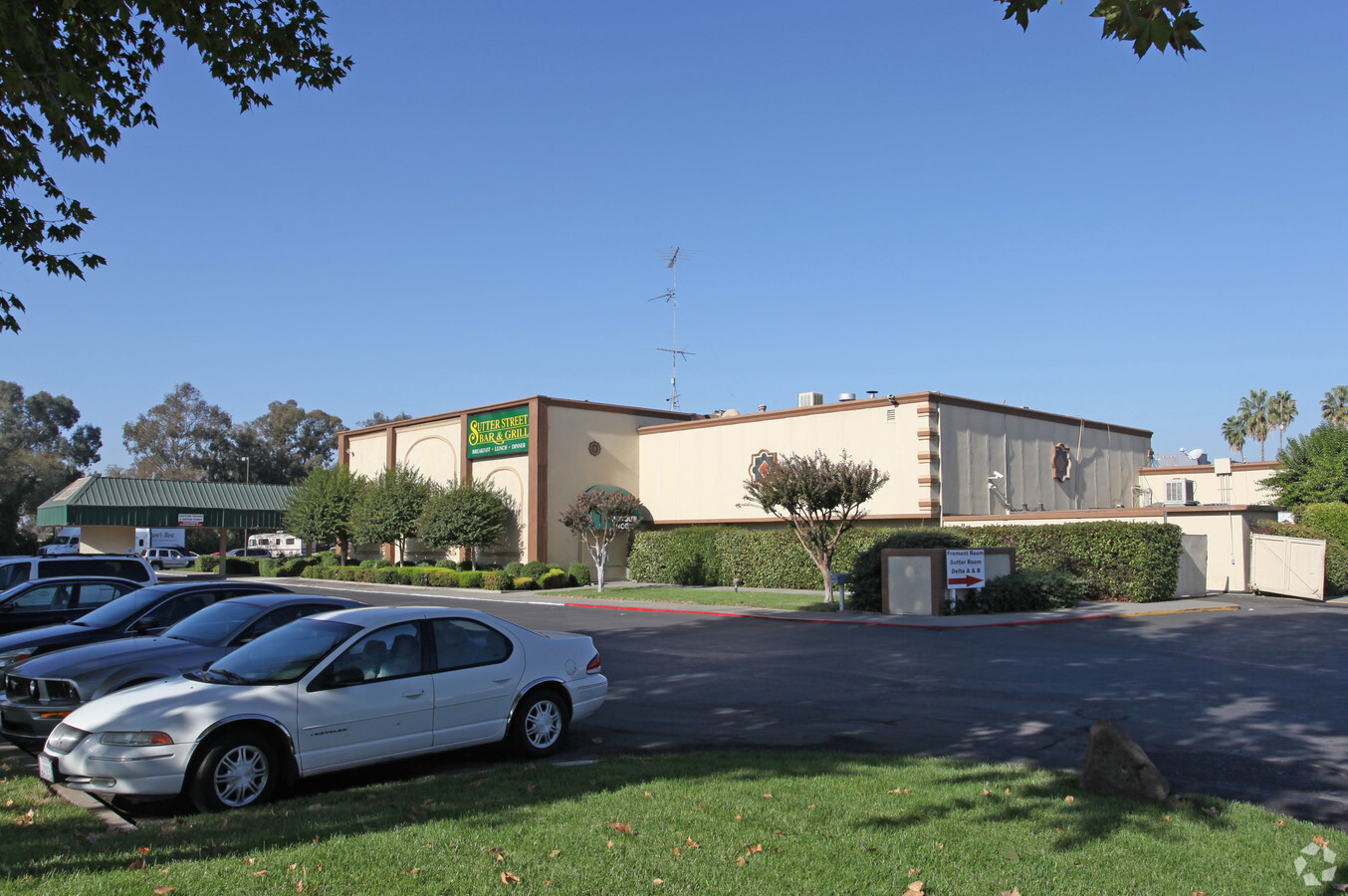
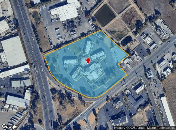
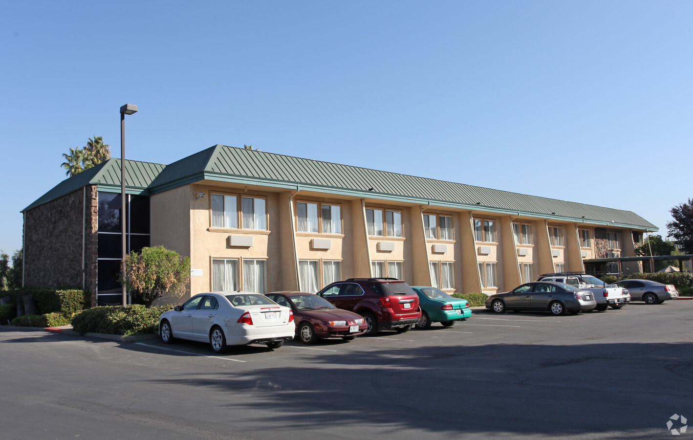
Property Record
4219 E Waterloo Rd, Stockton, CA 95215

NEARBY LISTINGS FOR SALE OR LEASE
-
-
View all Stockton listings for sale on LoopNet.com
Property Detail
4219 E Waterloo Rd
087-100-09
Sunny Valley Gardens 03
Motel
C W WEBER GRANT SEC 53
AH
San Joaquin
06077C0480F
California
2024
9.49 AC
2024
Stockton/Modesto
003601
Stockton/Modesto
86,931 SF
Stockton-Lodi, CA
DEMOGRAPHICS near 4219 E Waterloo Rd
1 Mile
3 Mile
5 Mile
2024 Total Population
4,726
97,042
266,441
2029 Population
4,956
102,259
280,861
Pop Growth 2024-2029
+ 4.87%
+ 5.38%
+ 5.41%
Average Age
35
35
36
2024 Total Households
1,444
28,759
81,532
HH Growth 2024-2029
+ 4.85%
+ 5.44%
+ 5.51%
Median Household Inc
$51,916
$54,968
$58,511
Avg Household Size
3.10
3.20
3.10
2024 Avg HH Vehicles
2.00
2.00
2.00
Median Home Value
$312,921
$322,565
$342,001
Median Year Built
1971
1969
1971
Nearby Places
- Restaurants
- Banks
- Shops
- Fitness
- Groceries
PUBLIC TRANSPORTATION
COMMUTER RAIL
Stockton (Altamont Corridor Express - Altamont Commuter Express (ACE))
DRIVE
WALK
Distance
Stockton (Altamont Corridor Express - Altamont Commuter Express (ACE))
7 min
3.3 mi
Stockton (San Joaquins - Amtrak)
DRIVE
WALK
Distance
Stockton (San Joaquins - Amtrak)
8 min
4.3 mi
AIRPORT
Stockton Metro
DRIVE
WALK
Distance
Stockton Metro
14 min
9.2 mi
Freight Ports
Port of Stockton
DRIVE
WALK
Distance
Port of Stockton
13 min
7.6 mi
Nearby Properties
Address
Land Use
TOTAL SIZE
Lot Size
Zoning
Address
Land Use
TOTAL SIZE
Lot Size
Zoning
530,700 SF
8.35 AC
Address
Land Use
TOTAL SIZE
Lot Size
Zoning
152,000 SF
1.31 AC
Address
Land Use
TOTAL SIZE
Lot Size
Zoning
652,548 SF
35.24 AC
IL
Address
Land Use
TOTAL SIZE
Lot Size
Zoning
581,679 SF
19.76 AC
Address
Land Use
TOTAL SIZE
Lot Size
Zoning
9,192 SF
5.49 AC
RHD
Address
Land Use
TOTAL SIZE
Lot Size
Zoning
47.61 AC
Address
Land Use
TOTAL SIZE
Lot Size
Zoning
136.94 AC
AU20
Address
Land Use
TOTAL SIZE
Lot Size
Zoning
1,312 SF
7.44 AC
Address
Land Use
TOTAL SIZE
Lot Size
Zoning
21.16 AC
Address
Land Use
TOTAL SIZE
Lot Size
Zoning
219,572 SF
16.53 AC
IL
Address
Land Use
TOTAL SIZE
Lot Size
Zoning
Address
Land Use
TOTAL SIZE
Lot Size
Zoning
6,400 SF
3.52 AC
IW
Address
Land Use
TOTAL SIZE
Lot Size
Zoning
37,846 SF
2.94 AC
Address
Land Use
TOTAL SIZE
Lot Size
Zoning
5,264 SF
9.82 AC
IL
Address
Land Use
TOTAL SIZE
Lot Size
Zoning
182,352 SF
10.54 AC
Address
Land Use
TOTAL SIZE
Lot Size
Zoning
50,031 SF
5.30 AC
Address
Land Use
TOTAL SIZE
Lot Size
Zoning
10.34 AC
Address
Land Use
TOTAL SIZE
Lot Size
Zoning
135,198 SF
13.37 AC
Address
Land Use
TOTAL SIZE
Lot Size
Zoning
92,903 SF
10.10 AC
Address
Land Use
TOTAL SIZE
Lot Size
Zoning
7,680 SF
8.63 AC
Address
Land Use
TOTAL SIZE
Lot Size
Zoning
126,108 SF
12.43 AC
Address
Land Use
TOTAL SIZE
Lot Size
Zoning
261,860 SF
7.48 AC
IW
Address
Land Use
TOTAL SIZE
Lot Size
Zoning
65,516 SF
10.56 AC
RM
Address
Land Use
TOTAL SIZE
Lot Size
Zoning
5,684 SF
17 AC
Address
Land Use
TOTAL SIZE
Lot Size
Zoning
8 AC
IL
Address
Land Use
TOTAL SIZE
Lot Size
Zoning
199,500 SF
8.74 AC
IW
Address
Land Use
TOTAL SIZE
Lot Size
Zoning
202,752 SF
9.40 AC
IL
Address
Land Use
TOTAL SIZE
Lot Size
Zoning
Address
Land Use
TOTAL SIZE
Lot Size
Zoning
3.55 AC
Address
Land Use
TOTAL SIZE
Lot Size
Zoning
8,000 SF
11.08 AC
The World's #1 Commercial Real Estate Marketplace
Connect with us
© 2025 CoStar Group
The information above has been obtained from sources believed reliable. While we do not doubt its accuracy we have not verified it and make no guarantee, warranty or representation about it. It is your responsibility to independently confirm its accuracy and completeness. Any projections, opinions, assumptions, or estimates used are for example only and do not represent the current or future performance of the property. The value of this transaction to you depends on tax and other factors which should be evaluated by your tax, financial, and legal advisors. You and your advisors should conduct a careful, independent investigation of the property to determine to your satisfaction the suitability of the property for your needs.