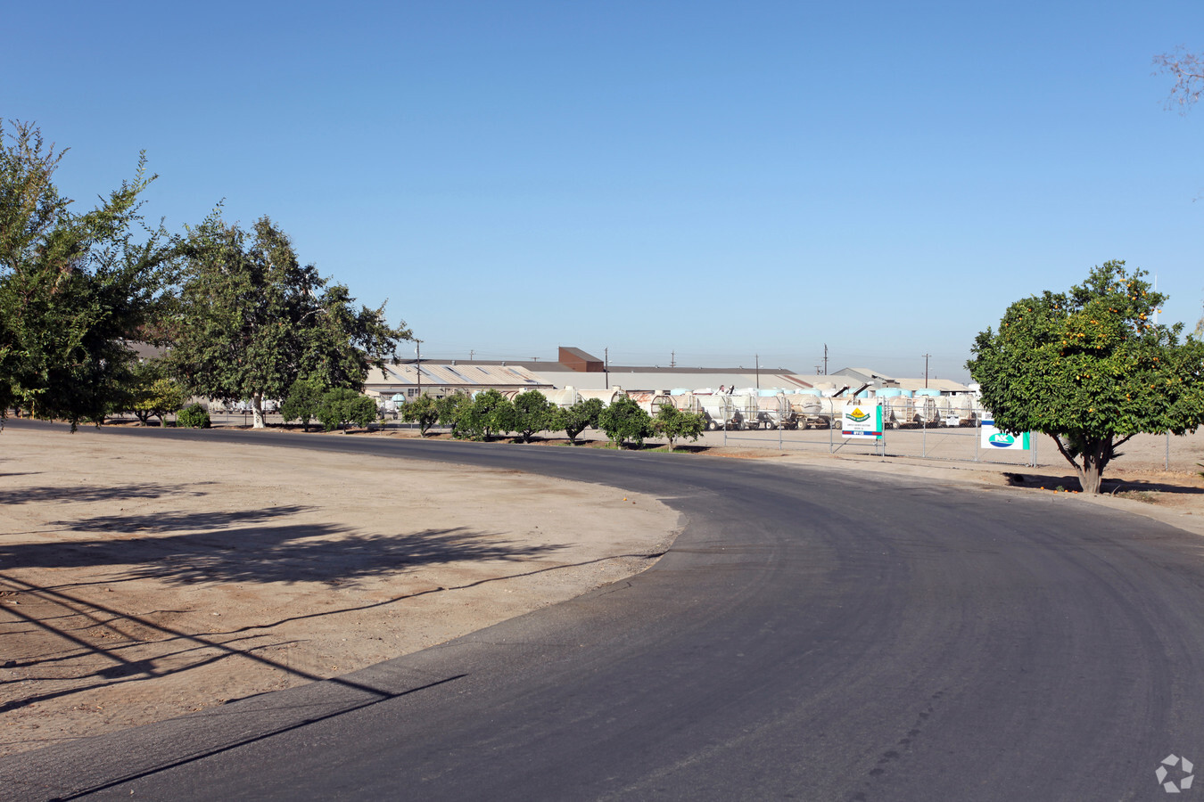
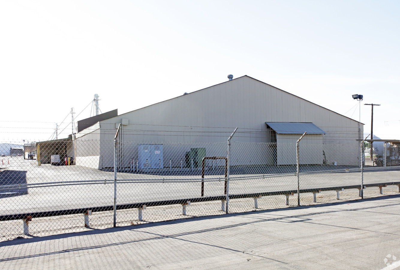
Property Record
430 Pepper Dr, Bakersfield, CA 93307
NEARBY LISTINGS FOR SALE OR LEASE
-
-
View all Bakersfield listings for sale on LoopNet.com
Property Detail
430 Pepper Dr
177-030-01-01-0
SECTION 4 , TOWNSHIP 30 , RANGE 29 , QUARTER
Heavyindustrial
Kern
X
California
06029C2307E
6.87 AC
2023
NE Outlying Kern County
2024
Bakersfield
002400
Bakersfield, CA
DEMOGRAPHICS near 430 Pepper Dr
1 Mile
3 Mile
5 Mile
2024 Total Population
171
14,871
73,508
2029 Population
166
14,796
73,614
Pop Growth 2024-2029
(2.92%)
(0.50%)
+ 0.14%
Average Age
36
34
34
2024 Total Households
54
4,102
21,339
HH Growth 2024-2029
(3.70%)
(0.61%)
+ 0.14%
Median Household Inc
$83,035
$49,875
$60,226
Avg Household Size
3.20
3.60
3.40
2024 Avg HH Vehicles
2.00
2.00
2.00
Median Home Value
$263,043
$257,962
$273,310
Median Year Built
1991
1987
1985
Nearby Places
- Restaurants
- Banks
- Shops
- Fitness
- Groceries
PUBLIC TRANSPORTATION
COMMUTER RAIL
Bakersfield (San Joaquins - Amtrak)
DRIVE
WALK
Distance
Bakersfield (San Joaquins - Amtrak)
13 min
7.9 mi
AIRPORT
Meadows Field
DRIVE
WALK
Distance
Meadows Field
26 min
16.2 mi
Freight Ports
The Port of Hueneme
DRIVE
WALK
Distance
The Port of Hueneme
161 min
129.9 mi
Nearby Properties
Address
Land Use
TOTAL SIZE
Lot Size
Zoning
Address
Land Use
TOTAL SIZE
Lot Size
Zoning
18,000 SF
35.01 AC
M-2
Address
Land Use
TOTAL SIZE
Lot Size
Zoning
50,445 SF
2.53 AC
C2
Address
Land Use
TOTAL SIZE
Lot Size
Zoning
17.85 AC
M3
Address
Land Use
TOTAL SIZE
Lot Size
Zoning
33,264 SF
28.68 AC
AG
Address
Land Use
TOTAL SIZE
Lot Size
Zoning
9,627 SF
12.37 AC
C2
Address
Land Use
TOTAL SIZE
Lot Size
Zoning
44,779 SF
2.17 AC
M2
Address
Land Use
TOTAL SIZE
Lot Size
Zoning
97,900 SF
6.98 AC
M-2 PD
Address
Land Use
TOTAL SIZE
Lot Size
Zoning
39,175 SF
12.21 AC
M2
Address
Land Use
TOTAL SIZE
Lot Size
Zoning
47,592 SF
35.87 AC
M2
Address
Land Use
TOTAL SIZE
Lot Size
Zoning
12,124 SF
10.06 AC
M2
Address
Land Use
TOTAL SIZE
Lot Size
Zoning
944 SF
4.81 AC
E(1/2AC)RS
Address
Land Use
TOTAL SIZE
Lot Size
Zoning
113,326 SF
8.35 AC
R2
Address
Land Use
TOTAL SIZE
Lot Size
Zoning
246.66 AC
A
Address
Land Use
TOTAL SIZE
Lot Size
Zoning
30,000 SF
12.56 AC
M-1
Address
Land Use
TOTAL SIZE
Lot Size
Zoning
5.63 AC
C2
Address
Land Use
TOTAL SIZE
Lot Size
Zoning
13,650 SF
1.95 AC
C2
Address
Land Use
TOTAL SIZE
Lot Size
Zoning
8.90 AC
M
Address
Land Use
TOTAL SIZE
Lot Size
Zoning
78,550 SF
6.99 AC
M1
Address
Land Use
TOTAL SIZE
Lot Size
Zoning
7,054 SF
73 AC
R-1
Address
Land Use
TOTAL SIZE
Lot Size
Zoning
69,600 SF
3.95 AC
C2
Address
Land Use
TOTAL SIZE
Lot Size
Zoning
29,900 SF
3.61 AC
M-2
Address
Land Use
TOTAL SIZE
Lot Size
Zoning
3,600 SF
4.61 AC
C2
Address
Land Use
TOTAL SIZE
Lot Size
Zoning
27,962 SF
1.73 AC
C-2
Address
Land Use
TOTAL SIZE
Lot Size
Zoning
1,940 SF
6.43 AC
A
The World's #1 Commercial Real Estate Marketplace
Connect with us
© 2025 CoStar Group
The information above has been obtained from sources believed reliable. While we do not doubt its accuracy we have not verified it and make no guarantee, warranty or representation about it. It is your responsibility to independently confirm its accuracy and completeness. Any projections, opinions, assumptions, or estimates used are for example only and do not represent the current or future performance of the property. The value of this transaction to you depends on tax and other factors which should be evaluated by your tax, financial, and legal advisors. You and your advisors should conduct a careful, independent investigation of the property to determine to your satisfaction the suitability of the property for your needs.