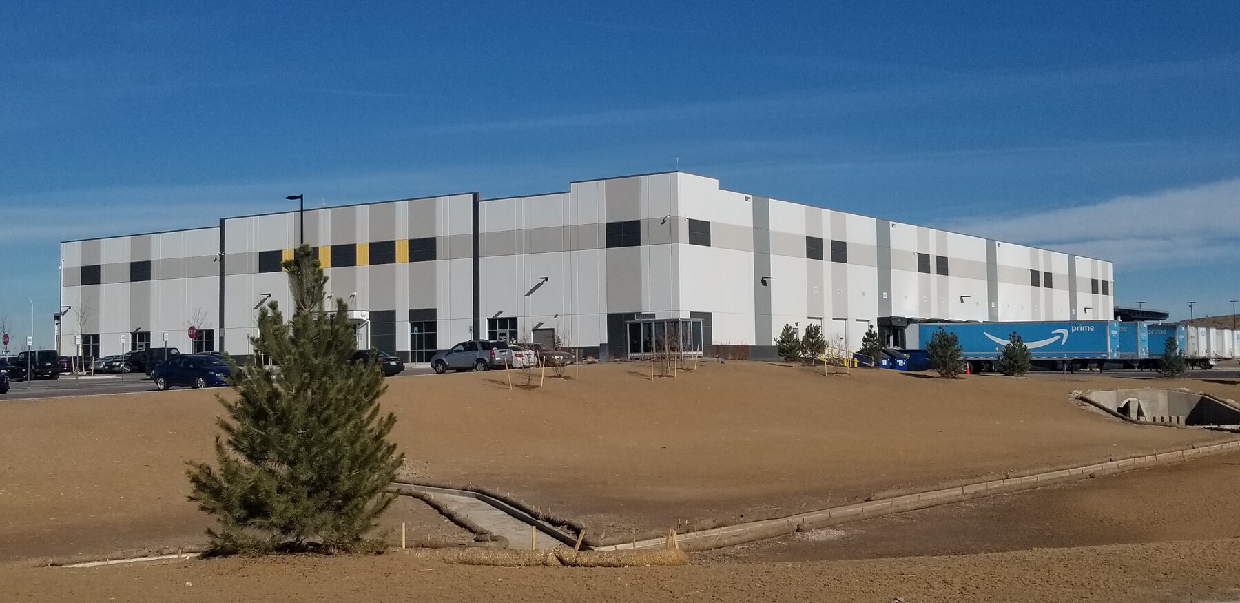
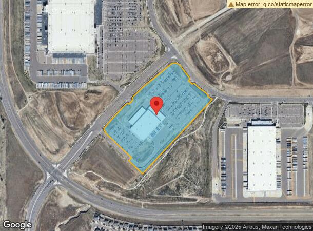
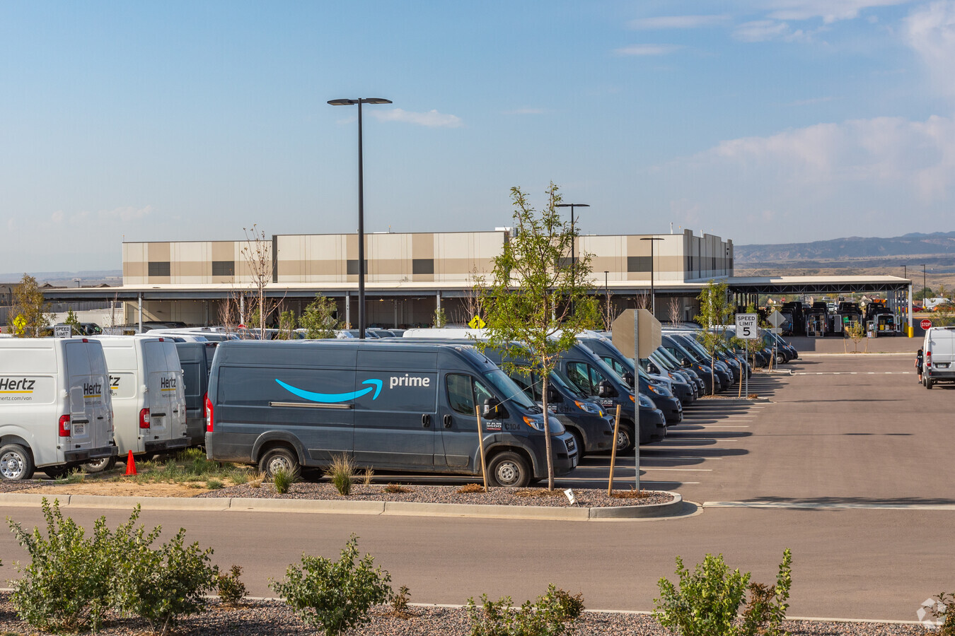
Property Record
4303 Grinnell Blvd, Colorado Springs, CO 80916
NEARBY LISTINGS FOR SALE OR LEASE
Property Detail
4303 Grinnell Blvd
Colorado Springs, CO
Colorado Springs Airport Fil No 1D
55060-01-010
LOT 1 COLORADO SPRINGS AIRPORT FIL NO 1D
Warehouse
El Paso
X
Colorado
08041C0761G
1
2023
18.74 AC
2024
Southeast
004008
Colorado Springs
66,780 SF
DEMOGRAPHICS near 4303 Grinnell Blvd
1 Mile
3 Mile
5 Mile
2024 Total Population
5,633
52,992
147,409
2029 Population
5,850
54,902
154,113
Pop Growth 2024-2029
+ 3.85%
+ 3.60%
+ 4.55%
Average Age
35
36
34
2024 Total Households
1,801
17,701
49,705
HH Growth 2024-2029
+ 3.94%
+ 3.80%
+ 4.91%
Median Household Inc
$94,635
$68,546
$66,012
Avg Household Size
3.10
2.80
2.80
2024 Avg HH Vehicles
2.00
2.00
2.00
Median Home Value
$348,109
$296,222
$310,324
Median Year Built
2005
1983
1988
Nearby Places
- Restaurants
- Banks
- Shops
- Fitness
- Groceries
PUBLIC TRANSPORTATION
AIRPORT
City of Colorado Springs Municipal
DRIVE
WALK
Distance
City of Colorado Springs Municipal
16 min
7.7 mi
Freight Ports
Tulsa Port Of Catoosa
DRIVE
WALK
Distance
Tulsa Port Of Catoosa
742 min
694.2 mi
Nearby Properties
Address
Land Use
TOTAL SIZE
Lot Size
Zoning
Address
Land Use
TOTAL SIZE
Lot Size
Zoning
3,486,127 SF
69.25 AC
APD AO APZ
Address
Land Use
TOTAL SIZE
Lot Size
Zoning
339,516 SF
1,090.76 AC
APD RPZ AO
Address
Land Use
TOTAL SIZE
Lot Size
Zoning
704,240 SF
41.99 AC
PIP2/CR UV
Address
Land Use
TOTAL SIZE
Lot Size
Zoning
278,331 SF
324.19 AC
Address
Land Use
TOTAL SIZE
Lot Size
Zoning
89,487 SF
Address
Land Use
TOTAL SIZE
Lot Size
Zoning
241,806 SF
937.06 AC
A-5 CAD-O
Address
Land Use
TOTAL SIZE
Lot Size
Zoning
130,569 SF
3.22 AC
Address
Land Use
TOTAL SIZE
Lot Size
Zoning
162,945 SF
20.05 AC
PIP2/CR CU
Address
Land Use
TOTAL SIZE
Lot Size
Zoning
135,296 SF
11.67 AC
PIP2/CR UV
Address
Land Use
TOTAL SIZE
Lot Size
Zoning
131,040 SF
8.50 AC
PIP2/CR AO
Address
Land Use
TOTAL SIZE
Lot Size
Zoning
109,200 SF
6.13 AC
PIP2/CR AO
Address
Land Use
TOTAL SIZE
Lot Size
Zoning
207,858 SF
18.08 AC
C-2 R-2
Address
Land Use
TOTAL SIZE
Lot Size
Zoning
131,040 SF
9.68 AC
PIP2 AO
Address
Land Use
TOTAL SIZE
Lot Size
Zoning
99,960 SF
8.21 AC
PIP2 AO
Address
Land Use
TOTAL SIZE
Lot Size
Zoning
48,255 SF
17.35 AC
A-5 CAD-O
Address
Land Use
TOTAL SIZE
Lot Size
Zoning
78,815 SF
Address
Land Use
TOTAL SIZE
Lot Size
Zoning
69,078 SF
0.03 AC
Address
Land Use
TOTAL SIZE
Lot Size
Zoning
77,486 SF
6.39 AC
I-2 CAD-O
Address
Land Use
TOTAL SIZE
Lot Size
Zoning
225,665 SF
26.81 AC
PIP2 AO
Address
Land Use
TOTAL SIZE
Lot Size
Zoning
778.79 AC
APD APZ1 R
Address
Land Use
TOTAL SIZE
Lot Size
Zoning
70,633 SF
4.84 AC
PIP1 AO
Address
Land Use
TOTAL SIZE
Lot Size
Zoning
322,147 SF
35.10 AC
I-2 CAD-O
Address
Land Use
TOTAL SIZE
Lot Size
Zoning
2.09 AC
PBC CU AO
Address
Land Use
TOTAL SIZE
Lot Size
Zoning
83,738 SF
2.72 AC
PBC AO
Address
Land Use
TOTAL SIZE
Lot Size
Zoning
59,693 SF
2.71 AC
PBC AO
Address
Land Use
TOTAL SIZE
Lot Size
Zoning
34,984 SF
14.31 AC
A-5
Address
Land Use
TOTAL SIZE
Lot Size
Zoning
57,337 SF
2.04 AC
PBC AO
Address
Land Use
TOTAL SIZE
Lot Size
Zoning
68,321 SF
6.80 AC
PIP2/CR AO
Address
Land Use
TOTAL SIZE
Lot Size
Zoning
107,400 SF
13 AC
PIP2/CR AO
The World's #1 Commercial Real Estate Marketplace
Connect with us
© 2025 CoStar Group
The information above has been obtained from sources believed reliable. While we do not doubt its accuracy we have not verified it and make no guarantee, warranty or representation about it. It is your responsibility to independently confirm its accuracy and completeness. Any projections, opinions, assumptions, or estimates used are for example only and do not represent the current or future performance of the property. The value of this transaction to you depends on tax and other factors which should be evaluated by your tax, financial, and legal advisors. You and your advisors should conduct a careful, independent investigation of the property to determine to your satisfaction the suitability of the property for your needs.