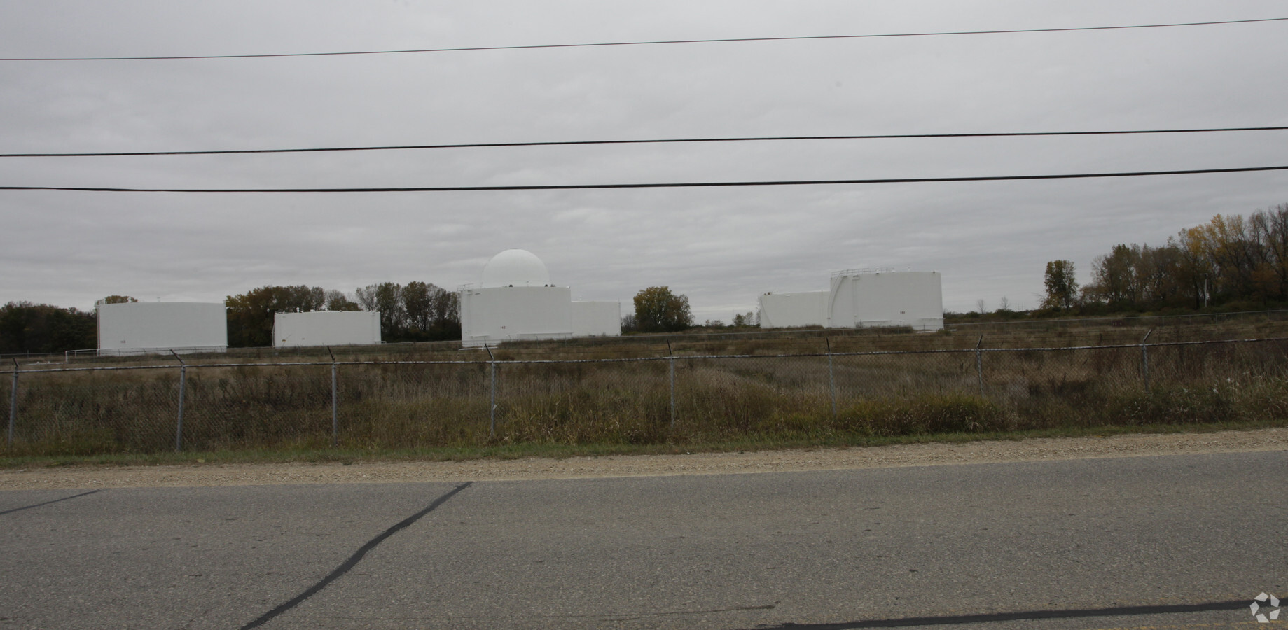
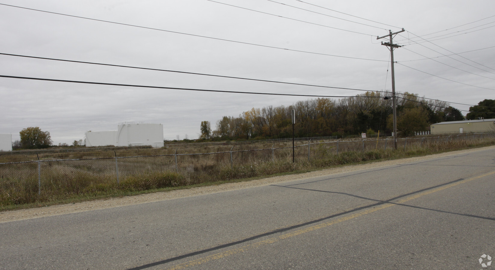
Property Record
4306 Terminal Dr, Mcfarland, WI 53558
NEARBY LISTINGS FOR SALE OR LEASE
Property Detail
4306 Terminal Dr
Madison, WI
Certified Surv Map #12705
0710-273-8585-1
LOT 3 CSM 12705 CS80/126-128 06-10-09 DESCR AS SEC 27-07-10 PRT OF NW1/4 SW1/4 (28.245 ACRE)
Commercialnec
Dane
AE
Wisconsin
55025C0441G
3
2023
28.25 AC
2023
Southeast Madison
010501
Milwaukee/Madison
DEMOGRAPHICS near 4306 Terminal Dr
1 Mile
3 Mile
5 Mile
2024 Total Population
2,113
34,741
110,934
2029 Population
2,190
35,955
115,062
Pop Growth 2024-2029
+ 3.64%
+ 3.49%
+ 3.72%
Average Age
36
41
39
2024 Total Households
875
14,778
52,260
HH Growth 2024-2029
+ 3.77%
+ 3.61%
+ 3.80%
Median Household Inc
$100,291
$85,220
$72,516
Avg Household Size
2.40
2.30
2.00
2024 Avg HH Vehicles
2.00
2.00
2.00
Median Home Value
$288,963
$308,368
$304,728
Median Year Built
2005
1976
1975
Nearby Places
- Restaurants
- Banks
- Shops
- Fitness
- Groceries
PUBLIC TRANSPORTATION
AIRPORT
Dane County Regional/Truax Field
DRIVE
WALK
Distance
Dane County Regional/Truax Field
15 min
9.0 mi
Freight Ports
Port Milwaukee
DRIVE
WALK
Distance
Port Milwaukee
94 min
79.6 mi
SALE & LEASE HISTORY
LISTING DATE
SALE/LEASE

Sep 24, 2016
For Sale
Nearby Properties
Address
Land Use
TOTAL SIZE
Lot Size
Zoning
Address
Land Use
TOTAL SIZE
Lot Size
Zoning
168,685 SF
14.05 AC
IL
Address
Land Use
TOTAL SIZE
Lot Size
Zoning
2.03 AC
Address
Land Use
TOTAL SIZE
Lot Size
Zoning
3.59 AC
Address
Land Use
TOTAL SIZE
Lot Size
Zoning
12,450 SF
9.40 AC
SE
Address
Land Use
TOTAL SIZE
Lot Size
Zoning
13.40 AC
Address
Land Use
TOTAL SIZE
Lot Size
Zoning
2.38 AC
Address
Land Use
TOTAL SIZE
Lot Size
Zoning
149,897 SF
17.72 AC
IL
Address
Land Use
TOTAL SIZE
Lot Size
Zoning
6,868 SF
18.35 AC
IL
Address
Land Use
TOTAL SIZE
Lot Size
Zoning
19.81 AC
Address
Land Use
TOTAL SIZE
Lot Size
Zoning
3.49 AC
Address
Land Use
TOTAL SIZE
Lot Size
Zoning
202,800 SF
13.05 AC
IL
Address
Land Use
TOTAL SIZE
Lot Size
Zoning
280,000 SF
15.01 AC
IL
Address
Land Use
TOTAL SIZE
Lot Size
Zoning
5.53 AC
Address
Land Use
TOTAL SIZE
Lot Size
Zoning
17,980 SF
6.25 AC
SR-V2
Address
Land Use
TOTAL SIZE
Lot Size
Zoning
9,030 SF
6.59 AC
SR-V2
Address
Land Use
TOTAL SIZE
Lot Size
Zoning
42,967 SF
5.25 AC
SR-V2
Address
Land Use
TOTAL SIZE
Lot Size
Zoning
113,341 SF
11.66 AC
IL
Address
Land Use
TOTAL SIZE
Lot Size
Zoning
14.34 AC
IL
Address
Land Use
TOTAL SIZE
Lot Size
Zoning
105,480 SF
3.20 AC
SR-V2
Address
Land Use
TOTAL SIZE
Lot Size
Zoning
11.76 AC
Address
Land Use
TOTAL SIZE
Lot Size
Zoning
1.05 AC
Address
Land Use
TOTAL SIZE
Lot Size
Zoning
221,410 SF
19.70 AC
IL
Address
Land Use
TOTAL SIZE
Lot Size
Zoning
7.98 AC
Address
Land Use
TOTAL SIZE
Lot Size
Zoning
0.88 AC
TSS
Address
Land Use
TOTAL SIZE
Lot Size
Zoning
33.98 AC
IL
Address
Land Use
TOTAL SIZE
Lot Size
Zoning
1.23 AC
Address
Land Use
TOTAL SIZE
Lot Size
Zoning
14,946 SF
13.29 AC
IG
Address
Land Use
TOTAL SIZE
Lot Size
Zoning
14,946 SF
16.05 AC
IG
Address
Land Use
TOTAL SIZE
Lot Size
Zoning
54,160 SF
6.06 AC
SR-V2
The World's #1 Commercial Real Estate Marketplace
Connect with us
© 2025 CoStar Group
The information above has been obtained from sources believed reliable. While we do not doubt its accuracy we have not verified it and make no guarantee, warranty or representation about it. It is your responsibility to independently confirm its accuracy and completeness. Any projections, opinions, assumptions, or estimates used are for example only and do not represent the current or future performance of the property. The value of this transaction to you depends on tax and other factors which should be evaluated by your tax, financial, and legal advisors. You and your advisors should conduct a careful, independent investigation of the property to determine to your satisfaction the suitability of the property for your needs.