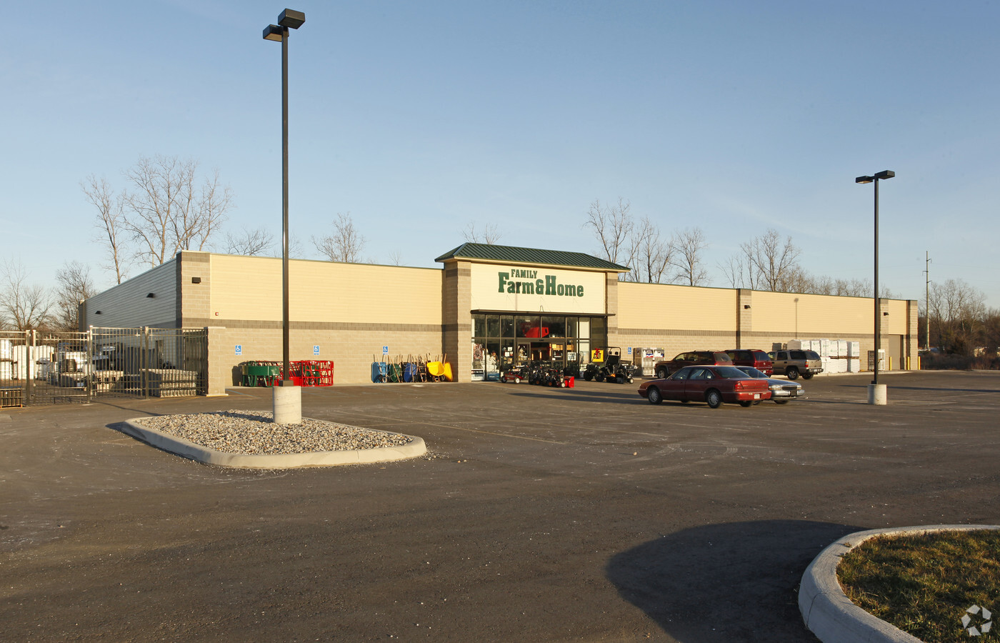
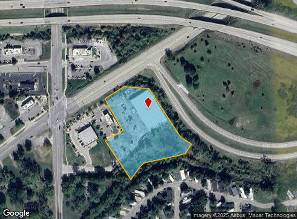
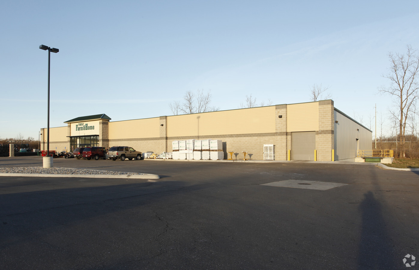
Property Record
4315 S Elms Rd, Swartz Creek, MI 48473
NEARBY LISTINGS FOR SALE OR LEASE
Property Detail
4315 S Elms Rd
Flint, MI
Supervisors Plat
58-31-551-005
PART OF LOTS 9 10 & 11 SUPERVISORS PLAT OF BEGOLE FARM 7SW 1/4 OF SEC 31 DESC AS BEG S 0 DEG 38'29" W 52.59 FT & S 0 DEG 15'34" W 494.57 FT & S 89 DEG 42'09" E 402.03 FT & N 46 DEG 41'48" E 4.63 FT FROM W 1/4 COR OF SEC TH N 30 DEG 31'08" W 232.90 FT
Commercialnec
Genesee
AE
Michigan
26049C0283D
9-11
2024
3.41 AC
2024
Flint
012702
Detroit
25,435 SF
DEMOGRAPHICS near 4315 S Elms Rd
1 Mile
3 Mile
5 Mile
2024 Total Population
2,663
16,403
42,659
2029 Population
2,623
15,990
41,449
Pop Growth 2024-2029
(1.50%)
(2.52%)
(2.84%)
Average Age
45
44
43
2024 Total Households
1,255
7,072
17,995
HH Growth 2024-2029
(1.59%)
(2.60%)
(2.92%)
Median Household Inc
$55,138
$62,180
$57,238
Avg Household Size
2.10
2.30
2.30
2024 Avg HH Vehicles
2.00
2.00
2.00
Median Home Value
$164,782
$163,114
$161,437
Median Year Built
1986
1974
1971
Nearby Places
- Restaurants
- Banks
- Shops
- Fitness
- Groceries
PUBLIC TRANSPORTATION
COMMUTER RAIL
Flint Amtrak Station (Blue Water - Amtrak)
DRIVE
WALK
Distance
Flint Amtrak Station (Blue Water - Amtrak)
13 min
9.7 mi
AIRPORT
Bishop International
DRIVE
WALK
Distance
Bishop International
16 min
4.4 mi
Freight Ports
Port of Toledo
DRIVE
WALK
Distance
Port of Toledo
136 min
115.0 mi
Nearby Properties
Address
Land Use
TOTAL SIZE
Lot Size
Zoning
Address
Land Use
TOTAL SIZE
Lot Size
Zoning
260,000 SF
15.55 AC
E
Address
Land Use
TOTAL SIZE
Lot Size
Zoning
51.34 AC
I-2
Address
Land Use
TOTAL SIZE
Lot Size
Zoning
179,638 SF
17.78 AC
RM-1
Address
Land Use
TOTAL SIZE
Lot Size
Zoning
190,917 SF
58.79 AC
GBD
Address
Land Use
TOTAL SIZE
Lot Size
Zoning
401,680 SF
20.41 AC
E
Address
Land Use
TOTAL SIZE
Lot Size
Zoning
585,182 SF
78.28 AC
Address
Land Use
TOTAL SIZE
Lot Size
Zoning
406,416 SF
21.10 AC
E
Address
Land Use
TOTAL SIZE
Lot Size
Zoning
99,992 SF
8.39 AC
Address
Land Use
TOTAL SIZE
Lot Size
Zoning
460,000 SF
51.12 AC
E
Address
Land Use
TOTAL SIZE
Lot Size
Zoning
85,936 SF
12.71 AC
Address
Land Use
TOTAL SIZE
Lot Size
Zoning
153,343 SF
14.83 AC
Address
Land Use
TOTAL SIZE
Lot Size
Zoning
61,892 SF
10.61 AC
Address
Land Use
TOTAL SIZE
Lot Size
Zoning
74.13 AC
I-2
Address
Land Use
TOTAL SIZE
Lot Size
Zoning
91,712 SF
9 AC
RM-1
Address
Land Use
TOTAL SIZE
Lot Size
Zoning
127,924 SF
22.33 AC
RM-1
Address
Land Use
TOTAL SIZE
Lot Size
Zoning
27,100 SF
4.73 AC
Address
Land Use
TOTAL SIZE
Lot Size
Zoning
235,611 SF
24 AC
Address
Land Use
TOTAL SIZE
Lot Size
Zoning
254,935 SF
3.33 AC
Address
Land Use
TOTAL SIZE
Lot Size
Zoning
74,945 SF
9.67 AC
GBD
Address
Land Use
TOTAL SIZE
Lot Size
Zoning
214,422 SF
208 AC
Address
Land Use
TOTAL SIZE
Lot Size
Zoning
64,065 SF
9.19 AC
Address
Land Use
TOTAL SIZE
Lot Size
Zoning
132,260 SF
14.50 AC
RM-1
Address
Land Use
TOTAL SIZE
Lot Size
Zoning
44,297 SF
3.69 AC
GBD
Address
Land Use
TOTAL SIZE
Lot Size
Zoning
1,900 SF
13.71 AC
GC,GENE
Address
Land Use
TOTAL SIZE
Lot Size
Zoning
131,449 SF
9.60 AC
Address
Land Use
TOTAL SIZE
Lot Size
Zoning
54,228 SF
4.50 AC
Address
Land Use
TOTAL SIZE
Lot Size
Zoning
36,258 SF
5.39 AC
Address
Land Use
TOTAL SIZE
Lot Size
Zoning
57,448 SF
3.50 AC
Address
Land Use
TOTAL SIZE
Lot Size
Zoning
80,000 SF
7.76 AC
E
Address
Land Use
TOTAL SIZE
Lot Size
Zoning
32,397 SF
4.61 AC
The World's #1 Commercial Real Estate Marketplace
Connect with us
© 2025 CoStar Group
The information above has been obtained from sources believed reliable. While we do not doubt its accuracy we have not verified it and make no guarantee, warranty or representation about it. It is your responsibility to independently confirm its accuracy and completeness. Any projections, opinions, assumptions, or estimates used are for example only and do not represent the current or future performance of the property. The value of this transaction to you depends on tax and other factors which should be evaluated by your tax, financial, and legal advisors. You and your advisors should conduct a careful, independent investigation of the property to determine to your satisfaction the suitability of the property for your needs.