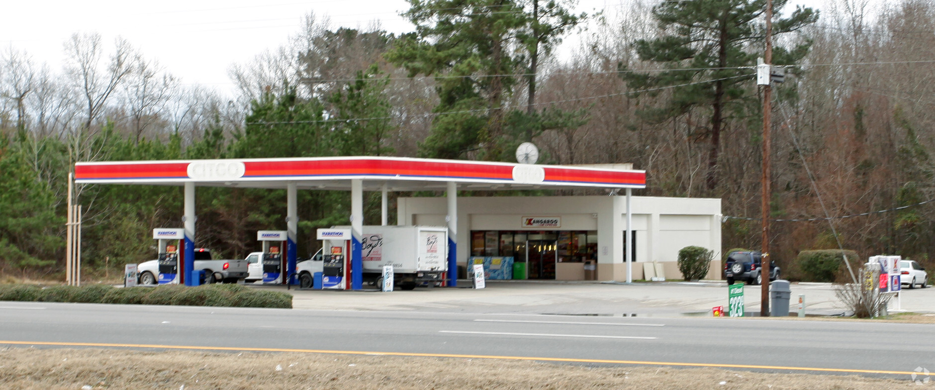
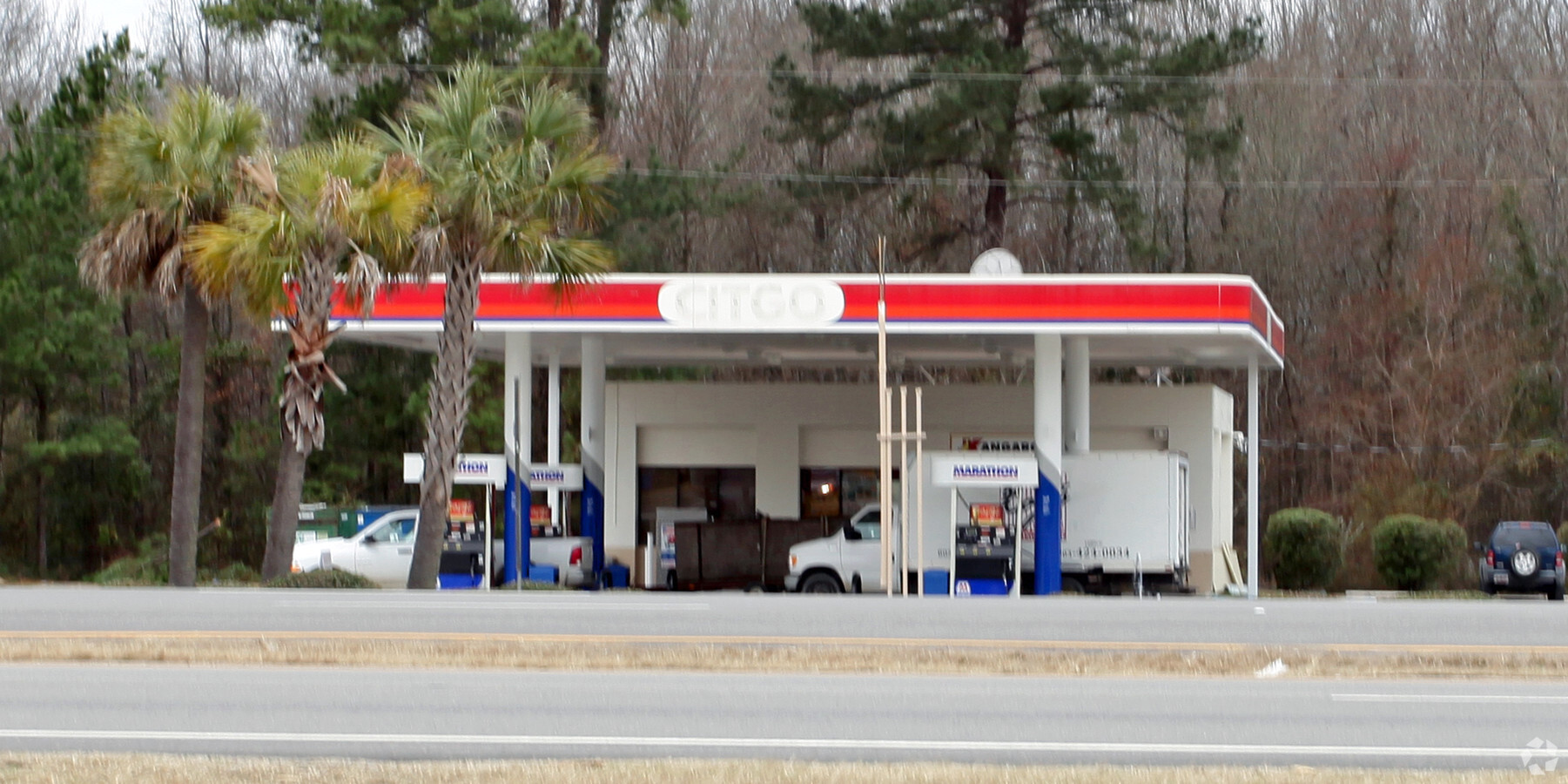
Property Record
433 Sumter Hwy, Camden, SC 29020
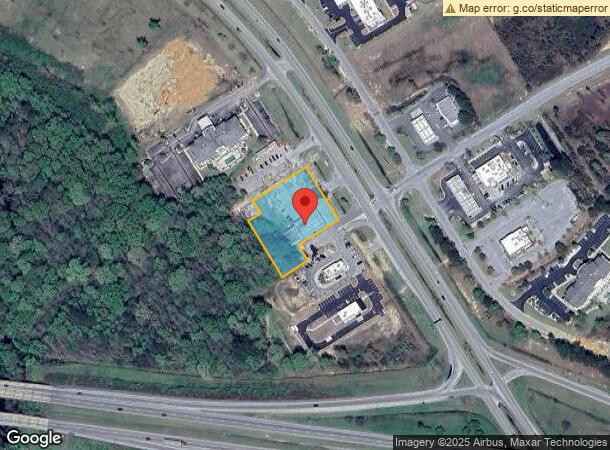
NEARBY LISTINGS FOR SALE OR LEASE
Property Detail
433 Sumter Hwy
C299-00-00-048
487-049/100 IY-1783 PAR 3 & 3A T/O
Conveniencestore
Kershaw
AE
South Carolina
45055C0451F
1.37 AC
2024
Kershaw County
2024
Columbia
970800
Columbia, SC
2,498 SF
DEMOGRAPHICS near 433 Sumter Hwy
1 Mile
3 Mile
5 Mile
2024 Total Population
543
9,632
20,004
2029 Population
599
10,632
21,882
Pop Growth 2024-2029
+ 10.31%
+ 10.38%
+ 9.39%
Average Age
40
42
42
2024 Total Households
228
4,144
8,372
HH Growth 2024-2029
+ 10.53%
+ 10.18%
+ 9.25%
Median Household Inc
$47,954
$38,345
$41,428
Avg Household Size
2.40
2.30
2.30
2024 Avg HH Vehicles
2.00
2.00
2.00
Median Home Value
$102,222
$157,542
$158,836
Median Year Built
2000
1985
1979
Nearby Places
- Restaurants
- Banks
- Shops
- Fitness
- Groceries
PUBLIC TRANSPORTATION
COMMUTER RAIL
Camden Amtrak Station (Silver Star - Amtrak)
DRIVE
WALK
Distance
Camden Amtrak Station (Silver Star - Amtrak)
4 min
3.0 mi
Freight Ports
North Charleston Terminal
DRIVE
WALK
Distance
North Charleston Terminal
141 min
123.3 mi
Nearby Properties
Address
Land Use
TOTAL SIZE
Lot Size
Zoning
Address
Land Use
TOTAL SIZE
Lot Size
Zoning
15.09 AC
MUNICIPAL
Address
Land Use
TOTAL SIZE
Lot Size
Zoning
141,018 SF
8.44 AC
MUNICIPAL
Address
Land Use
TOTAL SIZE
Lot Size
Zoning
47,718 SF
4.56 AC
MUNICIPAL
Address
Land Use
TOTAL SIZE
Lot Size
Zoning
85,915 SF
3.57 AC
MUNICIPAL
Address
Land Use
TOTAL SIZE
Lot Size
Zoning
37,794 SF
28.77 AC
GD
Address
Land Use
TOTAL SIZE
Lot Size
Zoning
8,480 SF
3.75 AC
GD
Address
Land Use
TOTAL SIZE
Lot Size
Zoning
66,678 SF
5.28 AC
R6
Address
Land Use
TOTAL SIZE
Lot Size
Zoning
36,380 SF
3.61 AC
MUNICIPAL
Address
Land Use
TOTAL SIZE
Lot Size
Zoning
75,636 SF
6.93 AC
MUNICIPAL
Address
Land Use
TOTAL SIZE
Lot Size
Zoning
20.23 AC
MUNICIPAL
Address
Land Use
TOTAL SIZE
Lot Size
Zoning
82,125 SF
8.42 AC
GD
Address
Land Use
TOTAL SIZE
Lot Size
Zoning
41.08 AC
I1
Address
Land Use
TOTAL SIZE
Lot Size
Zoning
91,301 SF
7.32 AC
MUNICIPAL
Address
Land Use
TOTAL SIZE
Lot Size
Zoning
9,900 SF
0.78 AC
MUNICIPAL
Address
Land Use
TOTAL SIZE
Lot Size
Zoning
29.23 AC
MUNICIPAL
Address
Land Use
TOTAL SIZE
Lot Size
Zoning
40,804 SF
3 AC
MUNICIPAL
Address
Land Use
TOTAL SIZE
Lot Size
Zoning
10,985 SF
4.95 AC
Address
Land Use
TOTAL SIZE
Lot Size
Zoning
12,284 SF
1.18 AC
MUNICIPAL
Address
Land Use
TOTAL SIZE
Lot Size
Zoning
11,502 SF
1.44 AC
MUNICIPAL
Address
Land Use
TOTAL SIZE
Lot Size
Zoning
77,924 SF
14 AC
I1
Address
Land Use
TOTAL SIZE
Lot Size
Zoning
4,863 SF
0.99 AC
MUNICIPAL
Address
Land Use
TOTAL SIZE
Lot Size
Zoning
28,540 SF
3.90 AC
MUNICIPAL
Address
Land Use
TOTAL SIZE
Lot Size
Zoning
38,913 SF
4.90 AC
MUNICIPAL
Address
Land Use
TOTAL SIZE
Lot Size
Zoning
38,406 SF
2.32 AC
MUNICIPAL
Address
Land Use
TOTAL SIZE
Lot Size
Zoning
21,234 SF
4,342.95 AC
RD1
Address
Land Use
TOTAL SIZE
Lot Size
Zoning
3,012 SF
0.79 AC
MUNICIPAL
Address
Land Use
TOTAL SIZE
Lot Size
Zoning
5,243 SF
1.87 AC
MUNICIPAL
Address
Land Use
TOTAL SIZE
Lot Size
Zoning
6,172 SF
1.15 AC
MUNICIPAL
Address
Land Use
TOTAL SIZE
Lot Size
Zoning
32,330 SF
2.41 AC
MUNICIPAL
Address
Land Use
TOTAL SIZE
Lot Size
Zoning
6,693 SF
1.01 AC
MUNICIPAL
The World's #1 Commercial Real Estate Marketplace
Connect with us
© 2025 CoStar Group
The information above has been obtained from sources believed reliable. While we do not doubt its accuracy we have not verified it and make no guarantee, warranty or representation about it. It is your responsibility to independently confirm its accuracy and completeness. Any projections, opinions, assumptions, or estimates used are for example only and do not represent the current or future performance of the property. The value of this transaction to you depends on tax and other factors which should be evaluated by your tax, financial, and legal advisors. You and your advisors should conduct a careful, independent investigation of the property to determine to your satisfaction the suitability of the property for your needs.