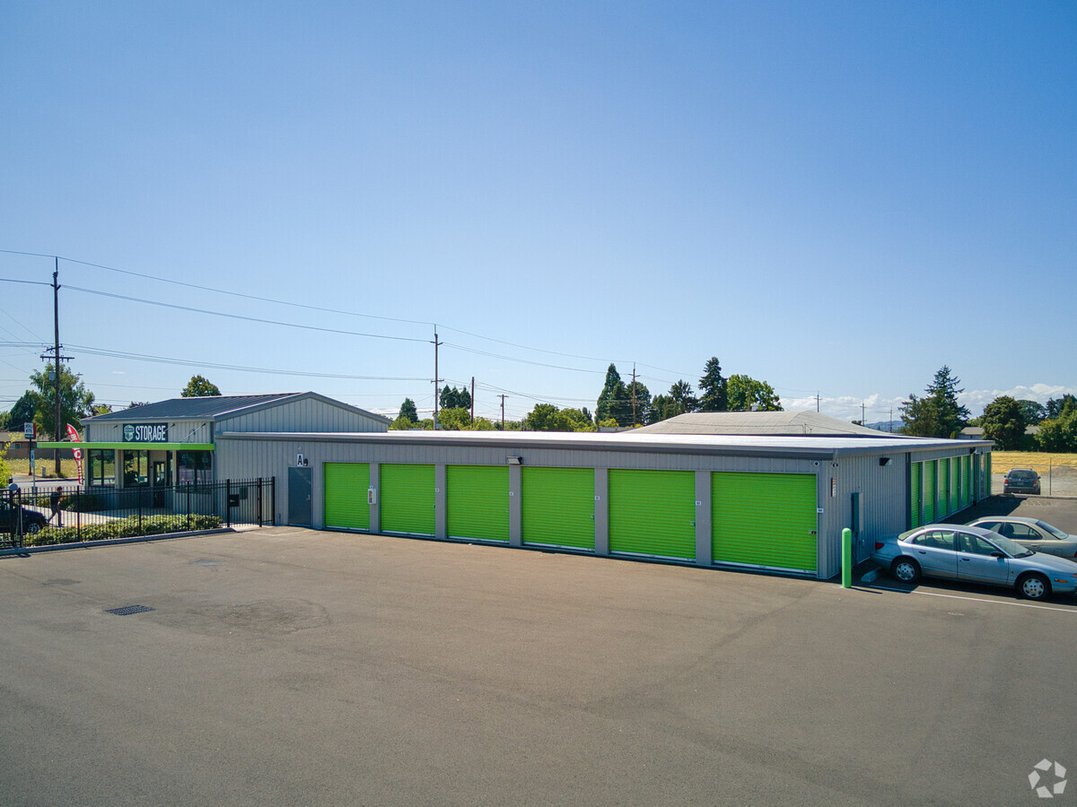
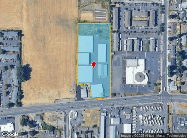
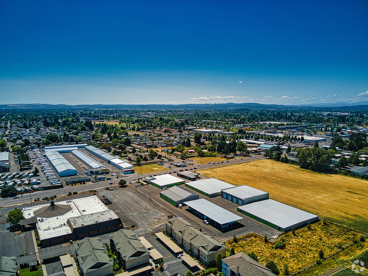
Property Record
4345 Silverton Rd Ne, Salem, OR 97305
NEARBY LISTINGS FOR SALE OR LEASE
Property Detail
4345 Silverton Rd Ne
522427
ACRES 4.30
Officebuilding
Marion
X
Oregon
41047C0351G
4.30 AC
2023
Marion County
2024
Portland
001606
Salem, OR
79,434 SF
DEMOGRAPHICS near 4345 Silverton Rd Ne
1 Mile
3 Mile
5 Mile
2024 Total Population
24,192
105,045
185,793
2029 Population
24,337
106,554
189,587
Pop Growth 2024-2029
+ 0.60%
+ 1.44%
+ 2.04%
Average Age
35
37
38
2024 Total Households
7,924
35,945
66,211
HH Growth 2024-2029
+ 0.53%
+ 1.46%
+ 2.18%
Median Household Inc
$54,536
$54,434
$59,425
Avg Household Size
3.00
2.80
2.70
2024 Avg HH Vehicles
2.00
2.00
2.00
Median Home Value
$243,043
$283,384
$319,366
Median Year Built
1984
1977
1977
Nearby Places
- Restaurants
- Banks
- Shops
- Fitness
- Groceries
PUBLIC TRANSPORTATION
COMMUTER RAIL
Salem (Amtrak Cascades - Amtrak, Coast Starlight - Amtrak)
DRIVE
WALK
Distance
Salem (Amtrak Cascades - Amtrak, Coast Starlight - Amtrak)
13 min
6.8 mi
Freight Ports
Port of Portland
DRIVE
WALK
Distance
Port of Portland
62 min
47.4 mi
SALE & LEASE HISTORY
LISTING DATE
SALE/LEASE

Jan 25, 2018
For Lease
Nearby Properties
Address
Land Use
TOTAL SIZE
Lot Size
Zoning
Address
Land Use
TOTAL SIZE
Lot Size
Zoning
236,837 SF
20.76 AC
PE
Address
Land Use
TOTAL SIZE
Lot Size
Zoning
532,684 SF
159.05 AC
PA
Address
Land Use
TOTAL SIZE
Lot Size
Zoning
94,577 SF
10.65 AC
PA
Address
Land Use
TOTAL SIZE
Lot Size
Zoning
236,632 SF
24.45 AC
CO
Address
Land Use
TOTAL SIZE
Lot Size
Zoning
318,068 SF
14.57 AC
RM2
Address
Land Use
TOTAL SIZE
Lot Size
Zoning
393,453 SF
24.87 AC
CR
Address
Land Use
TOTAL SIZE
Lot Size
Zoning
70 SF
17.41 AC
PA
Address
Land Use
TOTAL SIZE
Lot Size
Zoning
164,539 SF
8.98 AC
CR; RM2
Address
Land Use
TOTAL SIZE
Lot Size
Zoning
171,702 SF
16.02 AC
CR
Address
Land Use
TOTAL SIZE
Lot Size
Zoning
68,512 SF
9.09 AC
P
Address
Land Use
TOTAL SIZE
Lot Size
Zoning
253,189 SF
12.83 AC
RM2
Address
Land Use
TOTAL SIZE
Lot Size
Zoning
115,561 SF
26.70 AC
PE; RA
Address
Land Use
TOTAL SIZE
Lot Size
Zoning
29.36 AC
IG; CR
Address
Land Use
TOTAL SIZE
Lot Size
Zoning
161,418 SF
4.48 AC
MU
Address
Land Use
TOTAL SIZE
Lot Size
Zoning
74,496 SF
11.65 AC
IC
Address
Land Use
TOTAL SIZE
Lot Size
Zoning
55,589 SF
6.20 AC
PH
Address
Land Use
TOTAL SIZE
Lot Size
Zoning
152,896 SF
9.56 AC
CR
Address
Land Use
TOTAL SIZE
Lot Size
Zoning
315,606 SF
18.68 AC
PH
Address
Land Use
TOTAL SIZE
Lot Size
Zoning
216,460 SF
CO
Address
Land Use
TOTAL SIZE
Lot Size
Zoning
135,680 SF
294.37 AC
PH
Address
Land Use
TOTAL SIZE
Lot Size
Zoning
3,149 SF
4.43 AC
PE
Address
Land Use
TOTAL SIZE
Lot Size
Zoning
112,380 SF
15.48 AC
P
Address
Land Use
TOTAL SIZE
Lot Size
Zoning
74,549 SF
1.62 AC
IC
Address
Land Use
TOTAL SIZE
Lot Size
Zoning
77,060 SF
8.40 AC
PH
Address
Land Use
TOTAL SIZE
Lot Size
Zoning
143,992 SF
6.81 AC
RM2
Address
Land Use
TOTAL SIZE
Lot Size
Zoning
49,861 SF
8.60 AC
IC
Address
Land Use
TOTAL SIZE
Lot Size
Zoning
Address
Land Use
TOTAL SIZE
Lot Size
Zoning
127,275 SF
6.37 AC
RM2
Address
Land Use
TOTAL SIZE
Lot Size
Zoning
167,516 SF
7.42 AC
RM
Address
Land Use
TOTAL SIZE
Lot Size
Zoning
97,721 SF
5 AC
RM2
The World's #1 Commercial Real Estate Marketplace
Connect with us
© 2025 CoStar Group
The information above has been obtained from sources believed reliable. While we do not doubt its accuracy we have not verified it and make no guarantee, warranty or representation about it. It is your responsibility to independently confirm its accuracy and completeness. Any projections, opinions, assumptions, or estimates used are for example only and do not represent the current or future performance of the property. The value of this transaction to you depends on tax and other factors which should be evaluated by your tax, financial, and legal advisors. You and your advisors should conduct a careful, independent investigation of the property to determine to your satisfaction the suitability of the property for your needs.