Property Record
110 S Unknown St, Merritt Island, FL 32952

NEARBY LISTINGS FOR SALE OR LEASE
Property Detail
110 S Unknown St
24-36-36-00-00255.3-0000.00
PART OF W 1/2 OF NW 1/4 AS DESC IN ORB 2429 PGS 1374,1375 EXC ORB 9786 PG 2478 PAR 258
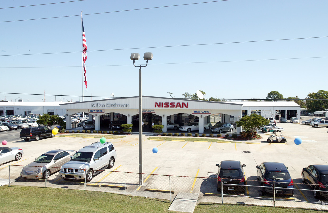
Vehiclerentalsvehiclesales
Brevard
X
Florida
12009C0427H
4.80 AC
2023
Brevard County
2023
Orlando
069400
Palm Bay-Melbourne-Titusville, FL
32,700 SF
DEMOGRAPHICS near 110 S Unknown St
1 Mile
3 Mile
5 Mile
2024 Total Population
6,443
35,546
89,349
2029 Population
7,130
38,784
97,546
Pop Growth 2024-2029
+ 10.66%
+ 9.11%
+ 9.17%
Average Age
47
46
44
2024 Total Households
3,073
15,924
38,024
HH Growth 2024-2029
+ 11.29%
+ 9.08%
+ 9.08%
Median Household Inc
$54,701
$66,422
$66,098
Avg Household Size
2.00
2.20
2.30
2024 Avg HH Vehicles
2.00
2.00
2.00
Median Home Value
$285,439
$324,220
$293,554
Median Year Built
1970
1969
1978
Nearby Places
- Restaurants
- Banks
- Shops
- Fitness
- Groceries
PUBLIC TRANSPORTATION
AIRPORT
Melbourne Orlando International
DRIVE
WALK
Distance
Melbourne Orlando International
50 min
29.2 mi
Freight Ports
Port Canaveral
DRIVE
WALK
Distance
Port Canaveral
19 min
8.6 mi
Nearby Properties
Address
Land Use
TOTAL SIZE
Lot Size
Zoning
Address
Land Use
TOTAL SIZE
Lot Size
Zoning
411,148 SF
8.13 AC
HC
Address
Land Use
TOTAL SIZE
Lot Size
Zoning
256,094 SF
37.37 AC
BU1
Address
Land Use
TOTAL SIZE
Lot Size
Zoning
263,066 SF
13.36 AC
PUD
Address
Land Use
TOTAL SIZE
Lot Size
Zoning
276,665 SF
38.95 AC
R2
Address
Land Use
TOTAL SIZE
Lot Size
Zoning
666,224 SF
55.06 AC
BU1
Address
Land Use
TOTAL SIZE
Lot Size
Zoning
211,483 SF
14.46 AC
BU2
Address
Land Use
TOTAL SIZE
Lot Size
Zoning
313,612 SF
11.91 AC
BU1
Address
Land Use
TOTAL SIZE
Lot Size
Zoning
153,136 SF
8.65 AC
RU215
Address
Land Use
TOTAL SIZE
Lot Size
Zoning
122,116 SF
28.56 AC
AU
Address
Land Use
TOTAL SIZE
Lot Size
Zoning
140,113 SF
25 AC
GU
Address
Land Use
TOTAL SIZE
Lot Size
Zoning
249,080 SF
106.95 AC
GML
Address
Land Use
TOTAL SIZE
Lot Size
Zoning
212,232 SF
20.80 AC
RU215
Address
Land Use
TOTAL SIZE
Lot Size
Zoning
198,201 SF
26.18 AC
BU1
Address
Land Use
TOTAL SIZE
Lot Size
Zoning
87,441 SF
20.89 AC
R2
Address
Land Use
TOTAL SIZE
Lot Size
Zoning
89,408 SF
18.50 AC
GU
Address
Land Use
TOTAL SIZE
Lot Size
Zoning
98,877 SF
7.86 AC
BU2
Address
Land Use
TOTAL SIZE
Lot Size
Zoning
120,495 SF
3.86 AC
PUD
Address
Land Use
TOTAL SIZE
Lot Size
Zoning
7,992 SF
22.36 AC
AU
Address
Land Use
TOTAL SIZE
Lot Size
Zoning
83,650 SF
25.65 AC
AU
Address
Land Use
TOTAL SIZE
Lot Size
Zoning
112,440 SF
22.08 AC
BU1
Address
Land Use
TOTAL SIZE
Lot Size
Zoning
94,046 SF
12 AC
GU
Address
Land Use
TOTAL SIZE
Lot Size
Zoning
84,747 SF
8.57 AC
BU2
Address
Land Use
TOTAL SIZE
Lot Size
Zoning
103,870 SF
15.67 AC
BU1
Address
Land Use
TOTAL SIZE
Lot Size
Zoning
88,649 SF
10.75 AC
C2
Address
Land Use
TOTAL SIZE
Lot Size
Zoning
97,920 SF
6.08 AC
RU215
Address
Land Use
TOTAL SIZE
Lot Size
Zoning
39,228 SF
1.74 AC
BU1
Address
Land Use
TOTAL SIZE
Lot Size
Zoning
24,983 SF
38.63 AC
C2
Address
Land Use
TOTAL SIZE
Lot Size
Zoning
36,560 SF
2.84 AC
BU1
Address
Land Use
TOTAL SIZE
Lot Size
Zoning
66,318 SF
6.92 AC
BU-2
Address
Land Use
TOTAL SIZE
Lot Size
Zoning
114,321 SF
9.37 AC
BU1
The World's #1 Commercial Real Estate Marketplace
Connect with us
© 2025 CoStar Group
The information above has been obtained from sources believed reliable. While we do not doubt its accuracy we have not verified it and make no guarantee, warranty or representation about it. It is your responsibility to independently confirm its accuracy and completeness. Any projections, opinions, assumptions, or estimates used are for example only and do not represent the current or future performance of the property. The value of this transaction to you depends on tax and other factors which should be evaluated by your tax, financial, and legal advisors. You and your advisors should conduct a careful, independent investigation of the property to determine to your satisfaction the suitability of the property for your needs.