Property Record
4385 Guthrie Hwy, Clarksville, TN 37040
NEARBY LISTINGS FOR SALE OR LEASE
-
-
View all Clarksville listings for sale on LoopNet.com
Property Detail
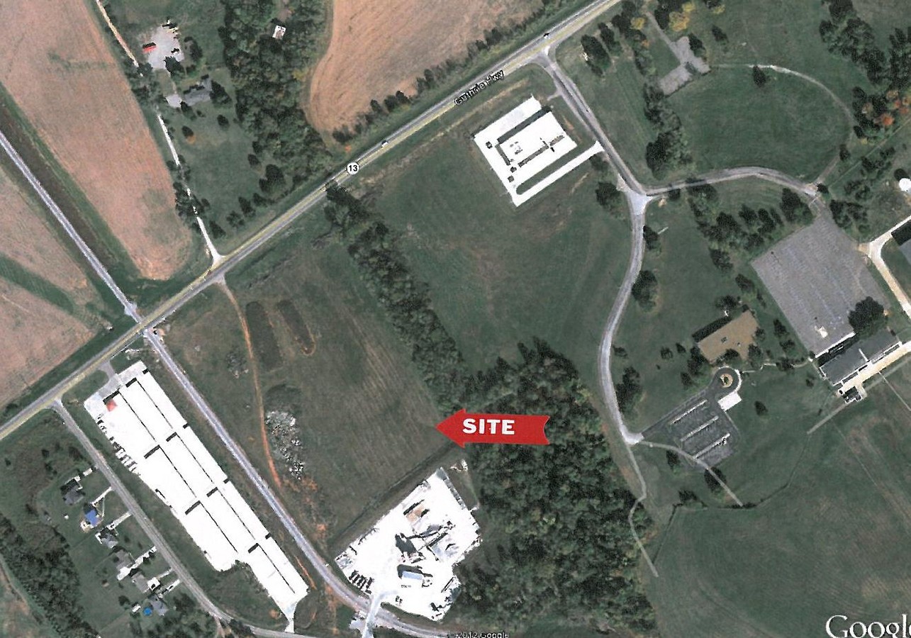
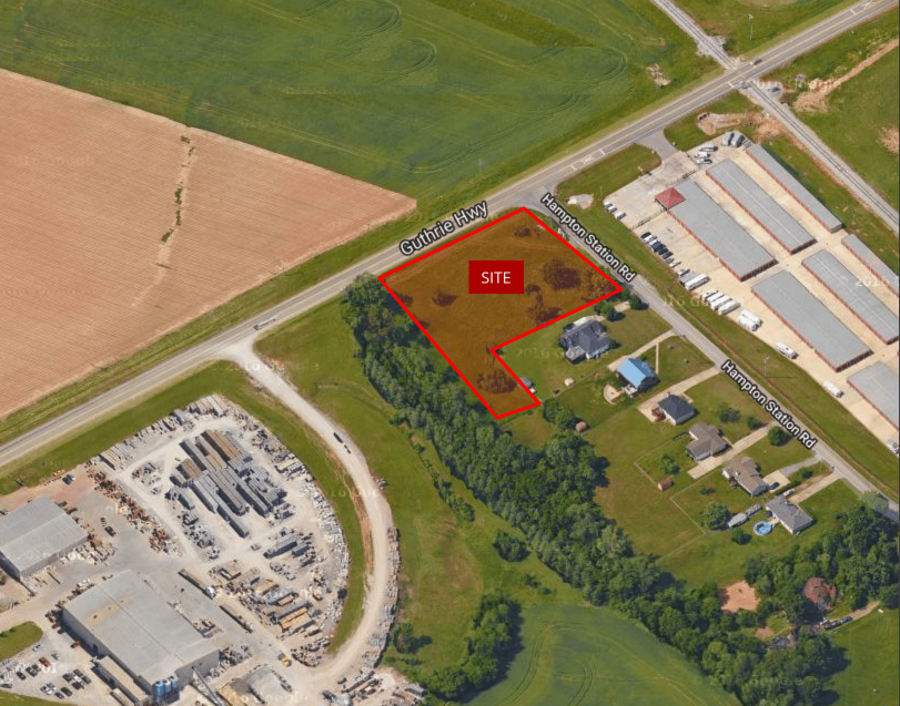
4385 Guthrie Hwy
015-007.09
Heritage Pointe Coml Sec 1A
Publicstorage
QTC FROM 15-7.02 IN V1561-2546 T-15; QTC IN V1561-2550 T-15; AC CORR W/ SURVEY ON FILE T-15
A
Montgomery
47147C0175C
Tennessee
2024
10.78 AC
2024
Montgomery County
101904
Nashville
30,000 SF
Clarksville, TN-KY
DEMOGRAPHICS near 4385 Guthrie Hwy
1 Mile
3 Mile
5 Mile
2024 Total Population
150
7,298
38,218
2029 Population
178
8,670
44,981
Pop Growth 2024-2029
+ 18.67%
+ 18.80%
+ 17.70%
Average Age
36
33
33
2024 Total Households
49
2,365
13,562
HH Growth 2024-2029
+ 20.41%
+ 19.24%
+ 18.12%
Median Household Inc
$96,428
$93,348
$77,500
Avg Household Size
3.00
3.10
2.80
2024 Avg HH Vehicles
2.00
2.00
2.00
Median Home Value
$336,666
$304,374
$261,926
Median Year Built
2009
2010
2009
Nearby Places
- Restaurants
- Banks
- Shops
- Fitness
- Groceries
SALE & LEASE HISTORY
LISTING DATE
SALE/LEASE

Oct 24, 2019
For Sale
Nearby Properties
Address
Land Use
TOTAL SIZE
Lot Size
Zoning
Address
Land Use
TOTAL SIZE
Lot Size
Zoning
347,706 SF
1,332.17 AC
M-2
Address
Land Use
TOTAL SIZE
Lot Size
Zoning
1,079,305 SF
158.54 AC
M-2
Address
Land Use
TOTAL SIZE
Lot Size
Zoning
951,240 SF
310.57 AC
M-2
Address
Land Use
TOTAL SIZE
Lot Size
Zoning
582,699 SF
87.68 AC
M-2
Address
Land Use
TOTAL SIZE
Lot Size
Zoning
975,102 SF
89.66 AC
M-2
Address
Land Use
TOTAL SIZE
Lot Size
Zoning
825,436 SF
134.26 AC
M-2
Address
Land Use
TOTAL SIZE
Lot Size
Zoning
420.08 AC
M-2
Address
Land Use
TOTAL SIZE
Lot Size
Zoning
29,988 SF
19.57 AC
Address
Land Use
TOTAL SIZE
Lot Size
Zoning
29,988 SF
17.01 AC
R4
Address
Land Use
TOTAL SIZE
Lot Size
Zoning
392,908 SF
186.63 AC
M-2
Address
Land Use
TOTAL SIZE
Lot Size
Zoning
66,511 SF
22.90 AC
M-2
Address
Land Use
TOTAL SIZE
Lot Size
Zoning
355.07 AC
C-5
Address
Land Use
TOTAL SIZE
Lot Size
Zoning
571,253 SF
52.55 AC
M-2
Address
Land Use
TOTAL SIZE
Lot Size
Zoning
38,988 SF
10.03 AC
M-2
Address
Land Use
TOTAL SIZE
Lot Size
Zoning
119.13 AC
M-2
Address
Land Use
TOTAL SIZE
Lot Size
Zoning
184,877 SF
24.22 AC
M-2
Address
Land Use
TOTAL SIZE
Lot Size
Zoning
69,274 SF
2.42 AC
C-4
Address
Land Use
TOTAL SIZE
Lot Size
Zoning
165,024 SF
30.05 AC
M2
Address
Land Use
TOTAL SIZE
Lot Size
Zoning
3,814 SF
83.39 AC
M-2
Address
Land Use
TOTAL SIZE
Lot Size
Zoning
150.05 AC
AG
Address
Land Use
TOTAL SIZE
Lot Size
Zoning
136,749 SF
19.15 AC
C-4
Address
Land Use
TOTAL SIZE
Lot Size
Zoning
57.01 AC
AG
Address
Land Use
TOTAL SIZE
Lot Size
Zoning
1.74 AC
M-2
Address
Land Use
TOTAL SIZE
Lot Size
Zoning
86,072 SF
41.99 AC
M-2
Address
Land Use
TOTAL SIZE
Lot Size
Zoning
60,947 SF
2.22 AC
C-4
Address
Land Use
TOTAL SIZE
Lot Size
Zoning
49,169 SF
2 AC
C-5
Address
Land Use
TOTAL SIZE
Lot Size
Zoning
1,440 SF
36.17 AC
M-2
Address
Land Use
TOTAL SIZE
Lot Size
Zoning
26.57 AC
M-2
Address
Land Use
TOTAL SIZE
Lot Size
Zoning
116,000 SF
10.84 AC
M-2
Address
Land Use
TOTAL SIZE
Lot Size
Zoning
21.29 AC
M-2
The World's #1 Commercial Real Estate Marketplace
Connect with us
© 2025 CoStar Group
The information above has been obtained from sources believed reliable. While we do not doubt its accuracy we have not verified it and make no guarantee, warranty or representation about it. It is your responsibility to independently confirm its accuracy and completeness. Any projections, opinions, assumptions, or estimates used are for example only and do not represent the current or future performance of the property. The value of this transaction to you depends on tax and other factors which should be evaluated by your tax, financial, and legal advisors. You and your advisors should conduct a careful, independent investigation of the property to determine to your satisfaction the suitability of the property for your needs.