Property Record
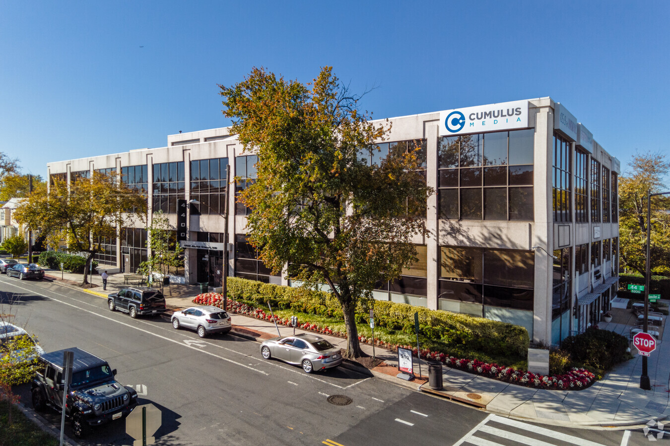
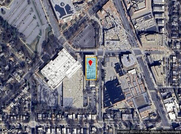
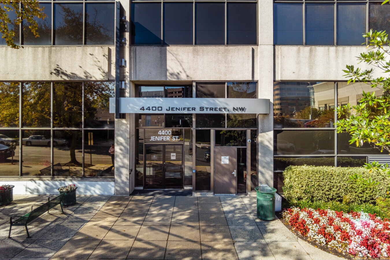
4400 Jenifer St Nw, Washington, DC 20015

Current Lease Availabilities
NEARBY LISTINGS FOR SALE OR LEASE
Property Detail
4400 Jenifer St Nw
Washington-Arlington-Alexandria, DC-VA-MD-WV
American University
1579-0010
SQUARE 1579 LOT 0010 NBHD: AMERICAN UNIVERSITY
Officebuilding
District of Columbia
X
District of Columbia
1100010004C
10
2024
0.55 AC
2024
Uptown
001004
Washington, DC
184,590 SF
DEMOGRAPHICS near 4400 Jenifer St Nw
1 Mile
3 Mile
5 Mile
2024 Total Population
28,830
167,269
582,948
2029 Population
27,420
157,886
550,564
Pop Growth 2024-2029
(4.89%)
(5.61%)
(5.56%)
Average Age
45
42
39
2024 Total Households
13,249
74,910
262,297
HH Growth 2024-2029
(4.44%)
(6.13%)
(6.30%)
Median Household Inc
$152,316
$150,541
$125,503
Avg Household Size
2.10
2.20
2.10
2024 Avg HH Vehicles
1.00
1.00
1.00
Median Home Value
$1,026,301
$1,038,179
$878,526
Median Year Built
1964
1957
1960
Nearby Places
- Restaurants
- Banks
- Shops
- Fitness
- Groceries
PUBLIC TRANSPORTATION
TRANSIT/SUBWAY
Friendship Heights (Red Line - Washington Metropolitan Area Transit Authority Metrorail (Metrorail))
DRIVE
WALK
Distance
Friendship Heights (Red Line - Washington Metropolitan Area Transit Authority Metrorail (Metrorail))
0 min
4 min
0.2 mi
Tenleytown-Au (Red Line - Washington Metropolitan Area Transit Authority Metrorail (Metrorail))
DRIVE
WALK
Distance
Tenleytown-Au (Red Line - Washington Metropolitan Area Transit Authority Metrorail (Metrorail))
2 min
17 min
0.9 mi
COMMUTER RAIL
Kensington (Brunswick Line - Maryland Area Regional Commuter Trains (The MARC))
DRIVE
WALK
Distance
Kensington (Brunswick Line - Maryland Area Regional Commuter Trains (The MARC))
12 min
5.3 mi
Silver Spring (Brunswick Line - Maryland Area Regional Commuter Trains (The MARC))
DRIVE
WALK
Distance
Silver Spring (Brunswick Line - Maryland Area Regional Commuter Trains (The MARC))
11 min
5.8 mi
AIRPORT
Ronald Reagan Washington Ntl
DRIVE
WALK
Distance
Ronald Reagan Washington Ntl
20 min
10.1 mi
Washington Dulles International
DRIVE
WALK
Distance
Washington Dulles International
42 min
23.9 mi
Baltimore/Washington International Thurgood Marshall
DRIVE
WALK
Distance
Baltimore/Washington International Thurgood Marshall
50 min
36.1 mi
Freight Ports
Port of Baltimore
DRIVE
WALK
Distance
Port of Baltimore
54 min
38.9 mi
Nearby Properties
Address
Land Use
TOTAL SIZE
Lot Size
Zoning
Address
Land Use
TOTAL SIZE
Lot Size
Zoning
788,000 SF
CR5
Address
Land Use
TOTAL SIZE
Lot Size
Zoning
553,914 SF
55.91 AC
R-1-B
Address
Land Use
TOTAL SIZE
Lot Size
Zoning
247,900 SF
170.58 AC
UNZONED
Address
Land Use
TOTAL SIZE
Lot Size
Zoning
900,000 SF
12.60 AC
RA-4
Address
Land Use
TOTAL SIZE
Lot Size
Zoning
997,890 SF
6.30 AC
CR3.0
Address
Land Use
TOTAL SIZE
Lot Size
Zoning
Address
Land Use
TOTAL SIZE
Lot Size
Zoning
795,214 SF
MU-5A
Address
Land Use
TOTAL SIZE
Lot Size
Zoning
737,500 SF
12.89 AC
R60
Address
Land Use
TOTAL SIZE
Lot Size
Zoning
362,643 SF
CR
Address
Land Use
TOTAL SIZE
Lot Size
Zoning
579,243 SF
1.89 AC
CR8.0
Address
Land Use
TOTAL SIZE
Lot Size
Zoning
750,000 SF
3.48 AC
CR5.0
Address
Land Use
TOTAL SIZE
Lot Size
Zoning
30,264 SF
43.94 AC
RA-1
Address
Land Use
TOTAL SIZE
Lot Size
Zoning
1,180,000 SF
35.70 AC
R90
Address
Land Use
TOTAL SIZE
Lot Size
Zoning
528 SF
296.59 AC
R-3,R-1-B,
Address
Land Use
TOTAL SIZE
Lot Size
Zoning
930,240 SF
2.32 AC
CR3.0
Address
Land Use
TOTAL SIZE
Lot Size
Zoning
505,408 SF
12.46 AC
RA-1
Address
Land Use
TOTAL SIZE
Lot Size
Zoning
69.17 AC
,R-1-B
Address
Land Use
TOTAL SIZE
Lot Size
Zoning
244,615 SF
19.61 AC
R-1A/FH
Address
Land Use
TOTAL SIZE
Lot Size
Zoning
287,183 SF
0.59 AC
CR5
Address
Land Use
TOTAL SIZE
Lot Size
Zoning
187,588 SF
13.19 AC
R-1-B
Address
Land Use
TOTAL SIZE
Lot Size
Zoning
1,053,971 SF
4.19 AC
R-8,RA-4
Address
Land Use
TOTAL SIZE
Lot Size
Zoning
115.87 AC
R60
Address
Land Use
TOTAL SIZE
Lot Size
Zoning
451,948 SF
1.08 AC
CR5.0
Address
Land Use
TOTAL SIZE
Lot Size
Zoning
7,770 SF
13.60 AC
R-1-A
Address
Land Use
TOTAL SIZE
Lot Size
Zoning
13,040 SF
166.53 AC
PDR-1,UNZO
Address
Land Use
TOTAL SIZE
Lot Size
Zoning
575,000 SF
110.35 AC
R60
Address
Land Use
TOTAL SIZE
Lot Size
Zoning
918,256 SF
5.26 AC
RA-2
Address
Land Use
TOTAL SIZE
Lot Size
Zoning
68,000 SF
7.95 AC
MU-4,R-2,R
Address
Land Use
TOTAL SIZE
Lot Size
Zoning
426,350 SF
8.22 AC
CR2.0
Address
Land Use
TOTAL SIZE
Lot Size
Zoning
1,704 SF
16.30 AC
R-1-A
The World's #1 Commercial Real Estate Marketplace
Connect with us
© 2025 CoStar Group
The information above has been obtained from sources believed reliable. While we do not doubt its accuracy we have not verified it and make no guarantee, warranty or representation about it. It is your responsibility to independently confirm its accuracy and completeness. Any projections, opinions, assumptions, or estimates used are for example only and do not represent the current or future performance of the property. The value of this transaction to you depends on tax and other factors which should be evaluated by your tax, financial, and legal advisors. You and your advisors should conduct a careful, independent investigation of the property to determine to your satisfaction the suitability of the property for your needs.