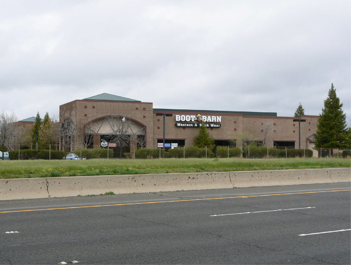
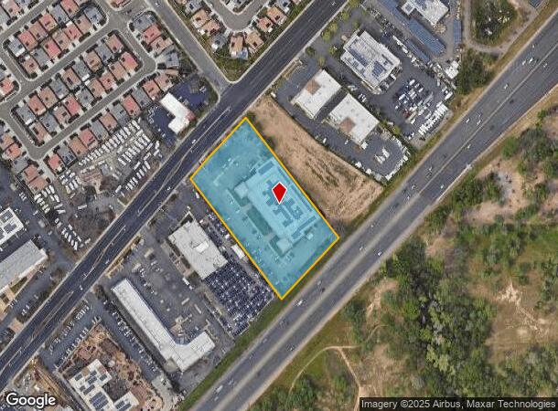
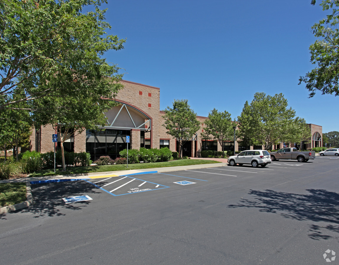
Property Record
4401 Granite Dr, Rocklin, CA 95677

NEARBY LISTINGS FOR SALE OR LEASE
Property Detail
4401 Granite Dr
045-021-036
26-37, Parcel Map
Storemultistory
3.1 AC PAR 1 PMOR 26-37
X
Placer
06061C0962H
California
2023
3.10 AC
2023
Roseville/Rocklin
021103
Sacramento
39,825 SF
Sacramento--Roseville--Arden-Arcade, CA
DEMOGRAPHICS near 4401 Granite Dr
1 Mile
3 Mile
5 Mile
2024 Total Population
6,130
53,528
151,382
2029 Population
6,632
57,319
162,667
Pop Growth 2024-2029
+ 8.19%
+ 7.08%
+ 7.45%
Average Age
39
42
41
2024 Total Households
2,282
20,077
55,149
HH Growth 2024-2029
+ 8.41%
+ 7.16%
+ 7.49%
Median Household Inc
$95,649
$104,669
$116,016
Avg Household Size
2.60
2.60
2.70
2024 Avg HH Vehicles
2.00
2.00
2.00
Median Home Value
$721,698
$687,041
$719,860
Median Year Built
1988
1991
1997
Nearby Places
- Restaurants
- Banks
- Shops
- Fitness
- Groceries
PUBLIC TRANSPORTATION
COMMUTER RAIL
Rocklin Amtrak Station (Capitol Corridor - Amtrak)
DRIVE
WALK
Distance
Rocklin Amtrak Station (Capitol Corridor - Amtrak)
4 min
2.0 mi
Roseville (California Zephyr - Amtrak, Capitol Corridor - Amtrak)
DRIVE
WALK
Distance
Roseville (California Zephyr - Amtrak, Capitol Corridor - Amtrak)
13 min
6.4 mi
AIRPORT
Sacramento International
DRIVE
WALK
Distance
Sacramento International
40 min
29.8 mi
Freight Ports
Port of Stockton
DRIVE
WALK
Distance
Port of Stockton
83 min
70.0 mi
SALE & LEASE HISTORY
LISTING DATE
SALE/LEASE

Aug 18, 2024
For Lease
Nearby Properties
Address
Land Use
TOTAL SIZE
Lot Size
Zoning
Address
Land Use
TOTAL SIZE
Lot Size
Zoning
328,416 SF
17.80 AC
Address
Land Use
TOTAL SIZE
Lot Size
Zoning
105,730 SF
7.20 AC
Address
Land Use
TOTAL SIZE
Lot Size
Zoning
246,349 SF
9.89 AC
Address
Land Use
TOTAL SIZE
Lot Size
Zoning
223,623 SF
12.70 AC
Address
Land Use
TOTAL SIZE
Lot Size
Zoning
154,696 SF
10.80 AC
Address
Land Use
TOTAL SIZE
Lot Size
Zoning
28,798 SF
12.52 AC
Address
Land Use
TOTAL SIZE
Lot Size
Zoning
10.19 AC
Address
Land Use
TOTAL SIZE
Lot Size
Zoning
194,087 SF
15.82 AC
Address
Land Use
TOTAL SIZE
Lot Size
Zoning
199,566 SF
6.40 AC
Address
Land Use
TOTAL SIZE
Lot Size
Zoning
159,029 SF
17.62 AC
Address
Land Use
TOTAL SIZE
Lot Size
Zoning
154,420 SF
26.50 AC
Address
Land Use
TOTAL SIZE
Lot Size
Zoning
80,966 SF
21.80 AC
Address
Land Use
TOTAL SIZE
Lot Size
Zoning
67,320 SF
4.20 AC
Address
Land Use
TOTAL SIZE
Lot Size
Zoning
162,800 SF
11.70 AC
Address
Land Use
TOTAL SIZE
Lot Size
Zoning
60,000 SF
2.40 AC
Address
Land Use
TOTAL SIZE
Lot Size
Zoning
136,101 SF
10 AC
Address
Land Use
TOTAL SIZE
Lot Size
Zoning
83,031 SF
9.30 AC
Address
Land Use
TOTAL SIZE
Lot Size
Zoning
100,348 SF
12.50 AC
Address
Land Use
TOTAL SIZE
Lot Size
Zoning
88,464 SF
7.40 AC
Address
Land Use
TOTAL SIZE
Lot Size
Zoning
124,022 SF
10.30 AC
Address
Land Use
TOTAL SIZE
Lot Size
Zoning
6,167 SF
12.20 AC
Address
Land Use
TOTAL SIZE
Lot Size
Zoning
72,638 SF
7.90 AC
Address
Land Use
TOTAL SIZE
Lot Size
Zoning
103,925 SF
7.10 AC
Address
Land Use
TOTAL SIZE
Lot Size
Zoning
60,730 SF
0.87 AC
Address
Land Use
TOTAL SIZE
Lot Size
Zoning
103,299 SF
9.60 AC
Address
Land Use
TOTAL SIZE
Lot Size
Zoning
39,055 SF
4.40 AC
Address
Land Use
TOTAL SIZE
Lot Size
Zoning
73,756 SF
6.60 AC
Address
Land Use
TOTAL SIZE
Lot Size
Zoning
89,928 SF
6 AC
CG
Address
Land Use
TOTAL SIZE
Lot Size
Zoning
45,500 SF
2.89 AC
Address
Land Use
TOTAL SIZE
Lot Size
Zoning
72,750 SF
2.20 AC
The World's #1 Commercial Real Estate Marketplace
Connect with us
© 2025 CoStar Group
The information above has been obtained from sources believed reliable. While we do not doubt its accuracy we have not verified it and make no guarantee, warranty or representation about it. It is your responsibility to independently confirm its accuracy and completeness. Any projections, opinions, assumptions, or estimates used are for example only and do not represent the current or future performance of the property. The value of this transaction to you depends on tax and other factors which should be evaluated by your tax, financial, and legal advisors. You and your advisors should conduct a careful, independent investigation of the property to determine to your satisfaction the suitability of the property for your needs.