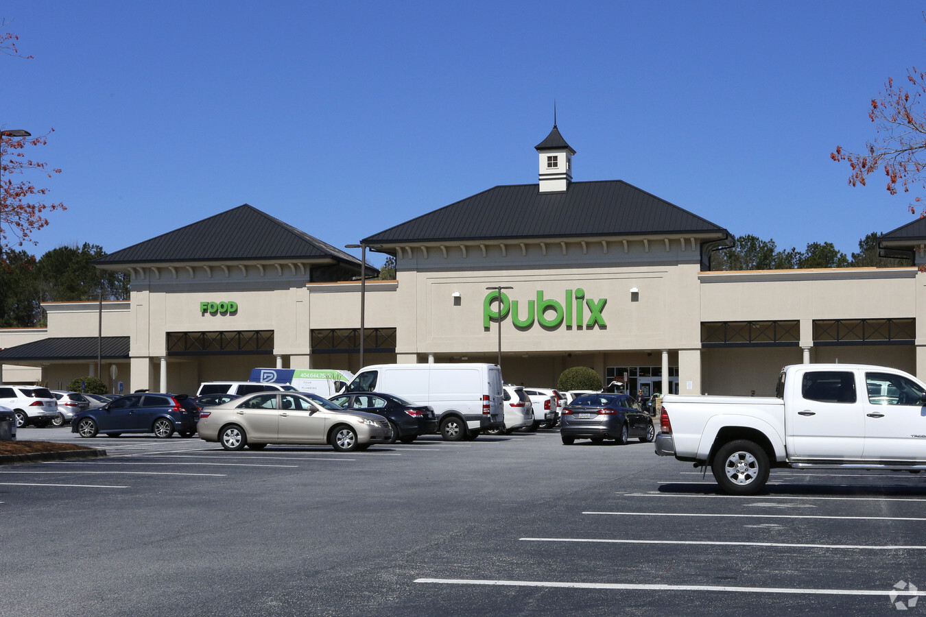
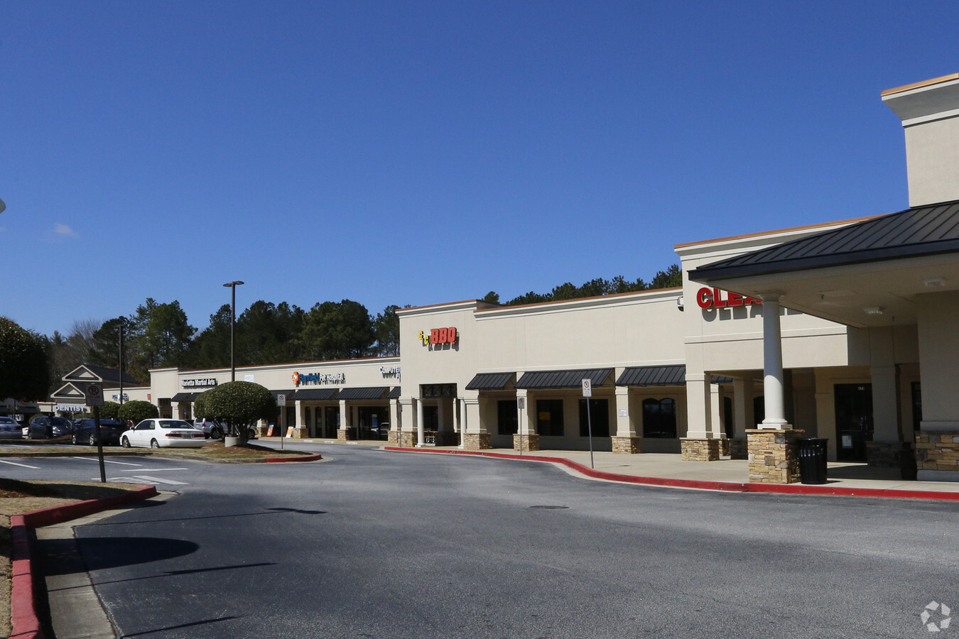
Property Record
4401 Shallowford Rd, Roswell, GA 30075

NEARBY LISTINGS FOR SALE OR LEASE
Property Detail
4401 Shallowford Rd
Regionalshoppingcenterormallwithanchorstore
Cobb
X
Georgia
13057C0375E
14.30 AC
2024
Roswell/Alpharetta
2024
Atlanta
030343
Atlanta-Sandy Springs-Roswell, GA
113,274 SF
16-0468-0-009-0
DEMOGRAPHICS near 4401 Shallowford Rd
1 Mile
3 Mile
5 Mile
2024 Total Population
7,868
62,959
173,067
2029 Population
7,914
63,487
176,715
Pop Growth 2024-2029
+ 0.58%
+ 0.84%
+ 2.11%
Average Age
42
42
42
2024 Total Households
2,681
21,428
62,652
HH Growth 2024-2029
+ 0.56%
+ 0.87%
+ 2.24%
Median Household Inc
$167,391
$161,507
$135,487
Avg Household Size
2.90
2.90
2.70
2024 Avg HH Vehicles
2.00
2.00
2.00
Median Home Value
$530,166
$497,028
$464,658
Median Year Built
1986
1985
1985
Nearby Places
- Restaurants
- Banks
- Shops
- Fitness
- Groceries
PUBLIC TRANSPORTATION
AIRPORT
Hartsfield - Jackson Atlanta International
DRIVE
WALK
Distance
Hartsfield - Jackson Atlanta International
52 min
34.4 mi
Freight Ports
Georgia Ports - Savannah
DRIVE
WALK
Distance
Georgia Ports - Savannah
314 min
273.7 mi
SALE & LEASE HISTORY
LISTING DATE
SALE/LEASE

Sep 24, 2016
For Lease
Mar 01, 2019
For Lease
Jul 16, 2018
For Sale
Nearby Properties
Address
Land Use
TOTAL SIZE
Lot Size
Zoning
Address
Land Use
TOTAL SIZE
Lot Size
Zoning
258,955 SF
29.70 AC
CRC/LRO
Address
Land Use
TOTAL SIZE
Lot Size
Zoning
299,534 SF
30.94 AC
E2
Address
Land Use
TOTAL SIZE
Lot Size
Zoning
377,080 SF
19.37 AC
E1
Address
Land Use
TOTAL SIZE
Lot Size
Zoning
118,464 SF
15.73 AC
CRC
Address
Land Use
TOTAL SIZE
Lot Size
Zoning
139,694 SF
16.35 AC
GC/WS
Address
Land Use
TOTAL SIZE
Lot Size
Zoning
71,000 SF
48.73 AC
E1
Address
Land Use
TOTAL SIZE
Lot Size
Zoning
95,478 SF
3 AC
Address
Land Use
TOTAL SIZE
Lot Size
Zoning
96,575 SF
14.19 AC
CRC
Address
Land Use
TOTAL SIZE
Lot Size
Zoning
25.40 AC
E1
Address
Land Use
TOTAL SIZE
Lot Size
Zoning
9,840 SF
9.76 AC
CRC
Address
Land Use
TOTAL SIZE
Lot Size
Zoning
239,207 SF
8.78 AC
GC/WS
Address
Land Use
TOTAL SIZE
Lot Size
Zoning
179,182 SF
15.06 AC
OI
Address
Land Use
TOTAL SIZE
Lot Size
Zoning
91,439 SF
10 AC
C3
Address
Land Use
TOTAL SIZE
Lot Size
Zoning
64,790 SF
1.23 AC
C1
Address
Land Use
TOTAL SIZE
Lot Size
Zoning
100,696 SF
9.96 AC
E2
Address
Land Use
TOTAL SIZE
Lot Size
Zoning
138,200 SF
17.70 AC
CRC/WS
Address
Land Use
TOTAL SIZE
Lot Size
Zoning
41,268 SF
13.78 AC
Address
Land Use
TOTAL SIZE
Lot Size
Zoning
87,132 SF
7.10 AC
PSC
Address
Land Use
TOTAL SIZE
Lot Size
Zoning
121,844 SF
17.61 AC
CRC/WS
Address
Land Use
TOTAL SIZE
Lot Size
Zoning
128,491 SF
9.09 AC
OI
Address
Land Use
TOTAL SIZE
Lot Size
Zoning
56,868 SF
6.41 AC
CRC
Address
Land Use
TOTAL SIZE
Lot Size
Zoning
48,189 SF
5.87 AC
PSC
Address
Land Use
TOTAL SIZE
Lot Size
Zoning
90,942 SF
1.33 AC
NRC/WS
Address
Land Use
TOTAL SIZE
Lot Size
Zoning
75,560 SF
10.32 AC
E2
Address
Land Use
TOTAL SIZE
Lot Size
Zoning
105,216 SF
10.42 AC
GC
Address
Land Use
TOTAL SIZE
Lot Size
Zoning
99,450 SF
14.63 AC
E1
Address
Land Use
TOTAL SIZE
Lot Size
Zoning
65,260 SF
4.01 AC
OP
Address
Land Use
TOTAL SIZE
Lot Size
Zoning
79,905 SF
3.39 AC
NRC
Address
Land Use
TOTAL SIZE
Lot Size
Zoning
109,836 SF
2.72 AC
R3
The World's #1 Commercial Real Estate Marketplace
Connect with us
© 2025 CoStar Group
The information above has been obtained from sources believed reliable. While we do not doubt its accuracy we have not verified it and make no guarantee, warranty or representation about it. It is your responsibility to independently confirm its accuracy and completeness. Any projections, opinions, assumptions, or estimates used are for example only and do not represent the current or future performance of the property. The value of this transaction to you depends on tax and other factors which should be evaluated by your tax, financial, and legal advisors. You and your advisors should conduct a careful, independent investigation of the property to determine to your satisfaction the suitability of the property for your needs.