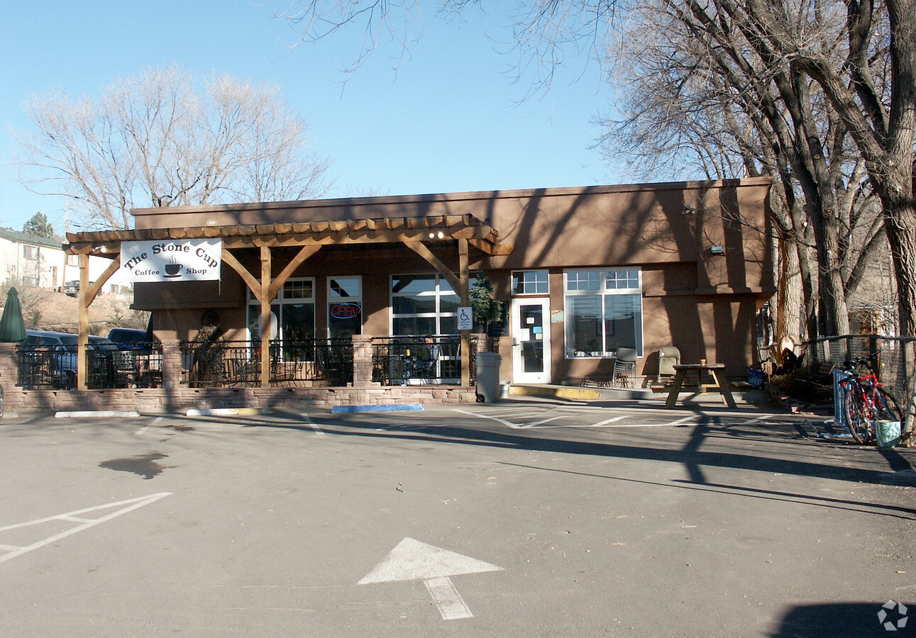
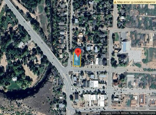
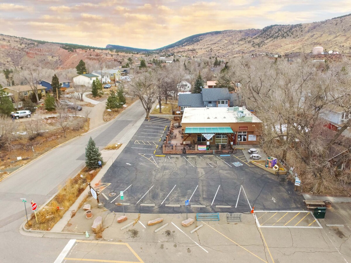
Property Record
442 High St, Lyons, CO 80540

NEARBY LISTINGS FOR SALE OR LEASE
-
-
View all Lyons listings for sale on LoopNet.com
Property Detail
442 High St
Boulder, CO
Lyons - Ly
1203184-06-016
W 37.5 FT LOT 7 & LOT 8 BLK 30 LYONS
Restaurantbuilding
Boulder
X
Colorado
08013C0232K
7
2023
0.30 AC
2024
Longmont
013601
Denver
2,793 SF
DEMOGRAPHICS near 442 High St
1 Mile
3 Mile
5 Mile
2024 Total Population
1,604
2,278
3,108
2029 Population
1,492
2,128
2,962
Pop Growth 2024-2029
(6.98%)
(6.58%)
(4.70%)
Average Age
45
45
46
2024 Total Households
661
931
1,280
HH Growth 2024-2029
(7.26%)
(6.77%)
(4.69%)
Median Household Inc
$111,513
$115,714
$120,633
Avg Household Size
2.40
2.40
2.40
2024 Avg HH Vehicles
2.00
2.00
2.00
Median Home Value
$828,025
$843,963
$836,078
Median Year Built
1991
1991
1990
Nearby Places
- Restaurants
- Banks
- Shops
- Fitness
- Groceries
SALE & LEASE HISTORY
LISTING DATE
SALE/LEASE

Jan 27, 2022
For Sale
Nearby Properties
Address
Land Use
TOTAL SIZE
Lot Size
Zoning
Address
Land Use
TOTAL SIZE
Lot Size
Zoning
373.41 AC
F
Address
Land Use
TOTAL SIZE
Lot Size
Zoning
160.62 AC
A
Address
Land Use
TOTAL SIZE
Lot Size
Zoning
2,660 SF
40.23 AC
A
Address
Land Use
TOTAL SIZE
Lot Size
Zoning
2,456 SF
107.07 AC
A
Address
Land Use
TOTAL SIZE
Lot Size
Zoning
208 AC
A
Address
Land Use
TOTAL SIZE
Lot Size
Zoning
84.38 AC
A
Address
Land Use
TOTAL SIZE
Lot Size
Zoning
83.04 AC
F
Address
Land Use
TOTAL SIZE
Lot Size
Zoning
36.08 AC
A
Address
Land Use
TOTAL SIZE
Lot Size
Zoning
69.85 AC
A
Address
Land Use
TOTAL SIZE
Lot Size
Zoning
180.63 AC
A
Address
Land Use
TOTAL SIZE
Lot Size
Zoning
44.48 AC
F
Address
Land Use
TOTAL SIZE
Lot Size
Zoning
75.33 AC
A
Address
Land Use
TOTAL SIZE
Lot Size
Zoning
14.04 AC
A
Address
Land Use
TOTAL SIZE
Lot Size
Zoning
13.29 AC
A
Address
Land Use
TOTAL SIZE
Lot Size
Zoning
11.52 AC
Address
Land Use
TOTAL SIZE
Lot Size
Zoning
4.26 AC
Address
Land Use
TOTAL SIZE
Lot Size
Zoning
38.25 AC
A
Address
Land Use
TOTAL SIZE
Lot Size
Zoning
1,528 SF
512.42 AC
A
Address
Land Use
TOTAL SIZE
Lot Size
Zoning
39.40 AC
A
Address
Land Use
TOTAL SIZE
Lot Size
Zoning
8.73 AC
A
Address
Land Use
TOTAL SIZE
Lot Size
Zoning
8.02 AC
A
Address
Land Use
TOTAL SIZE
Lot Size
Zoning
23.18 AC
Address
Land Use
TOTAL SIZE
Lot Size
Zoning
36.60 AC
A
Address
Land Use
TOTAL SIZE
Lot Size
Zoning
3.41 AC
Address
Land Use
TOTAL SIZE
Lot Size
Zoning
7.37 AC
Address
Land Use
TOTAL SIZE
Lot Size
Zoning
6.06 AC
Address
Land Use
TOTAL SIZE
Lot Size
Zoning
2.70 AC
Address
Land Use
TOTAL SIZE
Lot Size
Zoning
6.26 AC
RR
Address
Land Use
TOTAL SIZE
Lot Size
Zoning
2.27 AC
Address
Land Use
TOTAL SIZE
Lot Size
Zoning
30.29 AC
The World's #1 Commercial Real Estate Marketplace
Connect with us
© 2025 CoStar Group
The information above has been obtained from sources believed reliable. While we do not doubt its accuracy we have not verified it and make no guarantee, warranty or representation about it. It is your responsibility to independently confirm its accuracy and completeness. Any projections, opinions, assumptions, or estimates used are for example only and do not represent the current or future performance of the property. The value of this transaction to you depends on tax and other factors which should be evaluated by your tax, financial, and legal advisors. You and your advisors should conduct a careful, independent investigation of the property to determine to your satisfaction the suitability of the property for your needs.