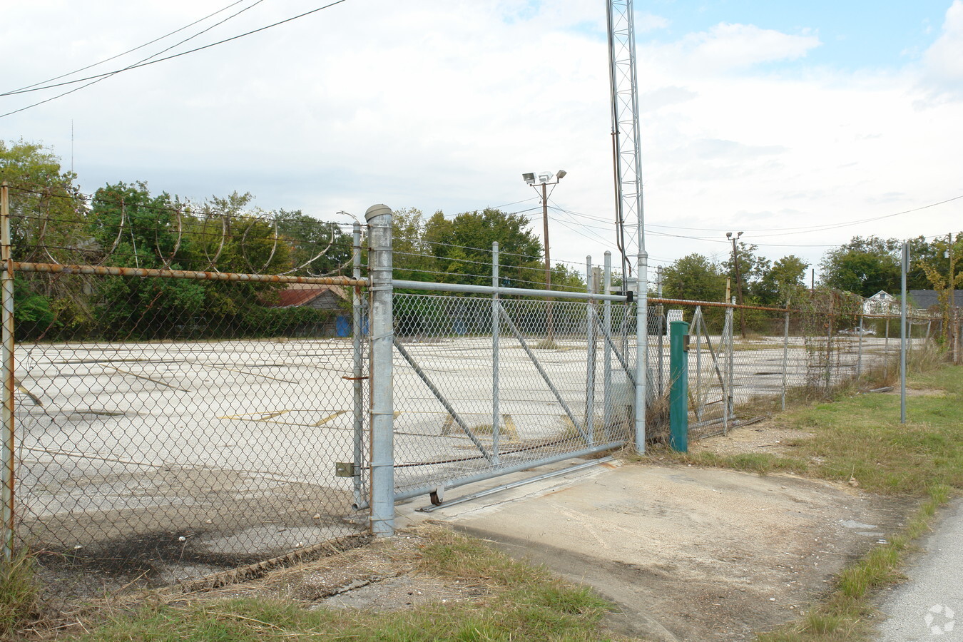
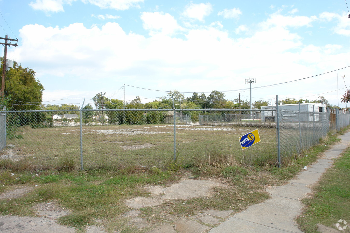
Property Record
0 Super, Houston, TX 77011
NEARBY LISTINGS FOR SALE OR LEASE
Property Detail
0 Super
Houston-The Woodlands-Sugar Land, TX
Super
0371630040001
LTS 1 & 2 BLK A SUPER
Commercialnec
Harris
X
Texas
48201C0880M
1,2
2023
0.36 AC
2023
Gulf Freeway/Pasadena
310900
Houston
DEMOGRAPHICS near 0 Super
1 Mile
3 Mile
5 Mile
2024 Total Population
17,621
163,289
412,480
2029 Population
18,322
169,449
427,961
Pop Growth 2024-2029
+ 3.98%
+ 3.77%
+ 3.75%
Average Age
40
36
37
2024 Total Households
7,427
62,398
169,719
HH Growth 2024-2029
+ 3.93%
+ 4.34%
+ 4.09%
Median Household Inc
$42,777
$49,999
$58,700
Avg Household Size
2.30
2.20
2.20
2024 Avg HH Vehicles
1.00
1.00
2.00
Median Home Value
$283,861
$252,812
$286,739
Median Year Built
1953
1970
1978
Nearby Places
- Restaurants
- Banks
- Shops
- Fitness
- Groceries
PUBLIC TRANSPORTATION
TRANSIT/SUBWAY
Cesar Chavez / 67Th St Wb (METRORAIL GREEN LINE - Metropolitan Transit Authority of Harris County)
DRIVE
WALK
Distance
Cesar Chavez / 67Th St Wb (METRORAIL GREEN LINE - Metropolitan Transit Authority of Harris County)
1 min
8 min
0.5 mi
Cesar Chavez / 67Th St Eb (METRORAIL GREEN LINE - Metropolitan Transit Authority of Harris County)
DRIVE
WALK
Distance
Cesar Chavez / 67Th St Eb (METRORAIL GREEN LINE - Metropolitan Transit Authority of Harris County)
1 min
10 min
0.5 mi
Magnolia Park Transit Center Wb (METRORAIL GREEN LINE - Metropolitan Transit Authority of Harris County)
DRIVE
WALK
Distance
Magnolia Park Transit Center Wb (METRORAIL GREEN LINE - Metropolitan Transit Authority of Harris County)
2 min
15 min
0.8 mi
Magnolia Park Transit Center Eb (METRORAIL GREEN LINE - Metropolitan Transit Authority of Harris County)
DRIVE
WALK
Distance
Magnolia Park Transit Center Eb (METRORAIL GREEN LINE - Metropolitan Transit Authority of Harris County)
2 min
15 min
0.8 mi
Altic / Howard Hughes Eb (METRORAIL GREEN LINE - Metropolitan Transit Authority of Harris County, METRORAIL PURPLE LINE - Metropolitan Transit Authority of Harris County)
DRIVE
WALK
Distance
Altic / Howard Hughes Eb (METRORAIL GREEN LINE - Metropolitan Transit Authority of Harris County, METRORAIL PURPLE LINE - Metropolitan Transit Authority of Harris County)
2 min
16 min
0.9 mi
COMMUTER RAIL
Houston (Sunset Limited - Amtrak)
DRIVE
WALK
Distance
Houston (Sunset Limited - Amtrak)
10 min
4.4 mi
AIRPORT
William P Hobby
DRIVE
WALK
Distance
William P Hobby
20 min
9.6 mi
George Bush Intcntl/Houston
DRIVE
WALK
Distance
George Bush Intcntl/Houston
31 min
20.8 mi
Freight Ports
Port of Houston
DRIVE
WALK
Distance
Port of Houston
13 min
5.3 mi
Nearby Properties
Address
Land Use
TOTAL SIZE
Lot Size
Zoning
Address
Land Use
TOTAL SIZE
Lot Size
Zoning
1,392,720 SF
83.75 AC
Address
Land Use
TOTAL SIZE
Lot Size
Zoning
453,987 SF
4.32 AC
Address
Land Use
TOTAL SIZE
Lot Size
Zoning
400,641 SF
1.86 AC
Address
Land Use
TOTAL SIZE
Lot Size
Zoning
547,387 SF
4.30 AC
Address
Land Use
TOTAL SIZE
Lot Size
Zoning
406,586 SF
4.03 AC
Address
Land Use
TOTAL SIZE
Lot Size
Zoning
278,362 SF
1.70 AC
Address
Land Use
TOTAL SIZE
Lot Size
Zoning
159,235 SF
1.49 AC
Address
Land Use
TOTAL SIZE
Lot Size
Zoning
310,171 SF
2.35 AC
Address
Land Use
TOTAL SIZE
Lot Size
Zoning
17.84 AC
Address
Land Use
TOTAL SIZE
Lot Size
Zoning
587,515 SF
4.85 AC
Address
Land Use
TOTAL SIZE
Lot Size
Zoning
245,307 SF
1.67 AC
Address
Land Use
TOTAL SIZE
Lot Size
Zoning
186,460 SF
1.45 AC
Address
Land Use
TOTAL SIZE
Lot Size
Zoning
33.97 AC
Address
Land Use
TOTAL SIZE
Lot Size
Zoning
242,936 SF
Address
Land Use
TOTAL SIZE
Lot Size
Zoning
199,210 SF
1.44 AC
Address
Land Use
TOTAL SIZE
Lot Size
Zoning
228,886 SF
1.85 AC
Address
Land Use
TOTAL SIZE
Lot Size
Zoning
504,018 SF
37.16 AC
Address
Land Use
TOTAL SIZE
Lot Size
Zoning
901,984 SF
59.37 AC
Address
Land Use
TOTAL SIZE
Lot Size
Zoning
964,290 SF
22.64 AC
Address
Land Use
TOTAL SIZE
Lot Size
Zoning
111,415 SF
0.92 AC
Address
Land Use
TOTAL SIZE
Lot Size
Zoning
267,844 SF
10.98 AC
Address
Land Use
TOTAL SIZE
Lot Size
Zoning
232,915 SF
7.89 AC
Address
Land Use
TOTAL SIZE
Lot Size
Zoning
192,718 SF
17.87 AC
Address
Land Use
TOTAL SIZE
Lot Size
Zoning
595,069 SF
17.77 AC
Address
Land Use
TOTAL SIZE
Lot Size
Zoning
194,296 SF
15.13 AC
Address
Land Use
TOTAL SIZE
Lot Size
Zoning
923,370 SF
13.76 AC
Address
Land Use
TOTAL SIZE
Lot Size
Zoning
215,960 SF
0.98 AC
Address
Land Use
TOTAL SIZE
Lot Size
Zoning
238,125 SF
12.73 AC
Address
Land Use
TOTAL SIZE
Lot Size
Zoning
217,701 SF
1.45 AC
Address
Land Use
TOTAL SIZE
Lot Size
Zoning
241,999 SF
8.46 AC
The World's #1 Commercial Real Estate Marketplace
Connect with us
© 2025 CoStar Group
The information above has been obtained from sources believed reliable. While we do not doubt its accuracy we have not verified it and make no guarantee, warranty or representation about it. It is your responsibility to independently confirm its accuracy and completeness. Any projections, opinions, assumptions, or estimates used are for example only and do not represent the current or future performance of the property. The value of this transaction to you depends on tax and other factors which should be evaluated by your tax, financial, and legal advisors. You and your advisors should conduct a careful, independent investigation of the property to determine to your satisfaction the suitability of the property for your needs.