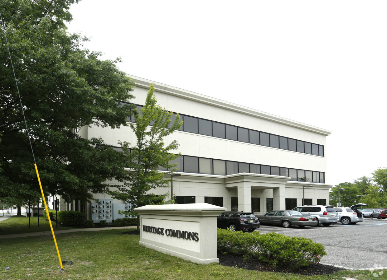
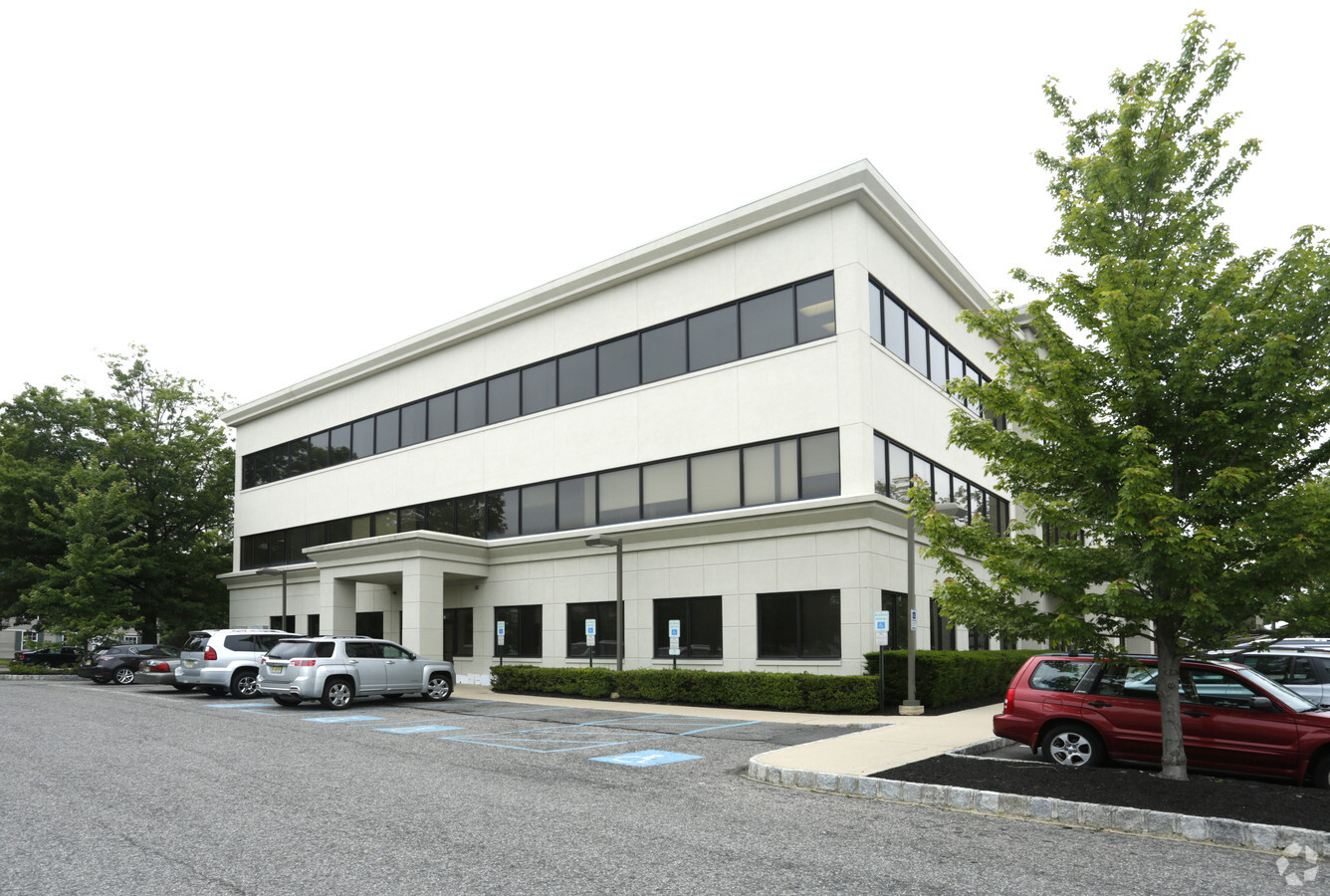
Property Record
444 Neptune Blvd, Neptune, NJ 07753
NEARBY LISTINGS FOR SALE OR LEASE
Property Detail
444 Neptune Blvd
35-00904-0000-00001
FACILITY NAME: COMMON ELEMENT
Taxexempt
Monmouth
X
New Jersey
34025C0334G
1
0
131 SF
2024
Southern Monmouth
807700
Northern New Jersey
4,125 SF
New York-Jersey City-White Plains, NY-NJ
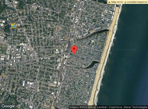
DEMOGRAPHICS near 444 Neptune Blvd
1 Mile
3 Mile
5 Mile
2024 Total Population
16,169
86,440
146,097
2029 Population
16,078
87,276
147,805
Pop Growth 2024-2029
(0.56%)
+ 0.97%
+ 1.17%
Average Age
38
44
44
2024 Total Households
5,856
38,091
61,735
HH Growth 2024-2029
(0.75%)
+ 1.00%
+ 1.12%
Median Household Inc
$57,482
$85,273
$91,563
Avg Household Size
2.60
2.20
2.30
2024 Avg HH Vehicles
2.00
2.00
2.00
Median Home Value
$324,347
$477,390
$511,803
Median Year Built
1959
1964
1968
Nearby Places
- Restaurants
- Banks
- Shops
- Fitness
- Groceries
PUBLIC TRANSPORTATION
COMMUTER RAIL
Asbury Park (North Jersey Coast Line - NJ Transit Commuter Rail (NJ Transit))
Drive
Walk
Distance
Asbury Park (North Jersey Coast Line - NJ Transit Commuter Rail (NJ Transit))
1 min
8 min
0.4 mi
Bradley Beach (North Jersey Coast Line - NJ Transit Commuter Rail (NJ Transit))
Drive
Walk
Distance
Bradley Beach (North Jersey Coast Line - NJ Transit Commuter Rail (NJ Transit))
2 min
13 min
0.7 mi
Freight Ports
New York Container Terminal
Drive
Walk
Distance
New York Container Terminal
57 min
43.2 mi
SALE & LEASE HISTORY
LISTING DATE
SALE/LEASE

Sep 24, 2016
For Sale
Nearby Properties
Address
Land Use
TOTAL SIZE
Lot Size
Zoning
Address
Land Use
TOTAL SIZE
Lot Size
Zoning
26282
4.59 AC
C
Address
Land Use
TOTAL SIZE
Lot Size
Zoning
5776
25.50 AC
PB
Address
Land Use
TOTAL SIZE
Lot Size
Zoning
739651
27.89 AC
C
Address
Land Use
TOTAL SIZE
Lot Size
Zoning
113.60 AC
WBA
Address
Land Use
TOTAL SIZE
Lot Size
Zoning
65668
111.60 AC
C50
Address
Land Use
TOTAL SIZE
Lot Size
Zoning
320341
57.85 AC
C
Address
Land Use
TOTAL SIZE
Lot Size
Zoning
32.19 AC
R-7
Address
Land Use
TOTAL SIZE
Lot Size
Zoning
25.37 AC
C-1
Address
Land Use
TOTAL SIZE
Lot Size
Zoning
1.61 AC
R1
Address
Land Use
TOTAL SIZE
Lot Size
Zoning
705
2.01 AC
WPRA
Address
Land Use
TOTAL SIZE
Lot Size
Zoning
1152
87 SF
WPRA
Address
Land Use
TOTAL SIZE
Lot Size
Zoning
3040
194.08 AC
OSGS
Address
Land Use
TOTAL SIZE
Lot Size
Zoning
108641
10.64 AC
C-6
Address
Land Use
TOTAL SIZE
Lot Size
Zoning
201455
79.34 AC
R-1
Address
Land Use
TOTAL SIZE
Lot Size
Zoning
224683
21.56 AC
CHS
Address
Land Use
TOTAL SIZE
Lot Size
Zoning
1288
21.66 AC
HD-R
Address
Land Use
TOTAL SIZE
Lot Size
Zoning
91173
4.07 AC
R3
Address
Land Use
TOTAL SIZE
Lot Size
Zoning
5407
25.60 AC
C-3
Address
Land Use
TOTAL SIZE
Lot Size
Zoning
3094
277.60 AC
C
Address
Land Use
TOTAL SIZE
Lot Size
Zoning
254714
3.40 AC
WPRA
Address
Land Use
TOTAL SIZE
Lot Size
Zoning
Address
Land Use
TOTAL SIZE
Lot Size
Zoning
34590
18.38 AC
C-2
Address
Land Use
TOTAL SIZE
Lot Size
Zoning
8.82 AC
R2
Address
Land Use
TOTAL SIZE
Lot Size
Zoning
Address
Land Use
TOTAL SIZE
Lot Size
Zoning
14484
163.40 AC
R-1
Address
Land Use
TOTAL SIZE
Lot Size
Zoning
1.42 AC
R-1
Address
Land Use
TOTAL SIZE
Lot Size
Zoning
7.39 AC
R2
Address
Land Use
TOTAL SIZE
Lot Size
Zoning
0.76 AC
R-1
Address
Land Use
TOTAL SIZE
Lot Size
Zoning
Address
Land Use
TOTAL SIZE
Lot Size
Zoning
86328
5.96 AC
P4
Start a new search to find other properties for sale or lease
Connect with us
© 2024 CoStar Group
The information above has been obtained from sources believed reliable. While we do not doubt its accuracy we have not verified it and make no guarantee, warranty or representation about it. It is your responsibility to independently confirm its accuracy and completeness. Any projections, opinions, assumptions, or estimates used are for example only and do not represent the current or future performance of the property. The value of this transaction to you depends on tax and other factors which should be evaluated by your tax, financial, and legal advisors. You and your advisors should conduct a careful, independent investigation of the property to determine to your satisfaction the suitability of the property for your needs.