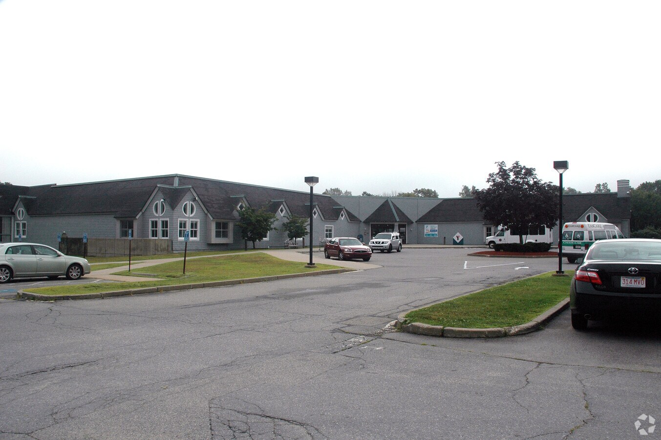
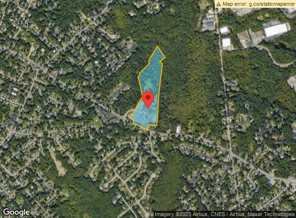
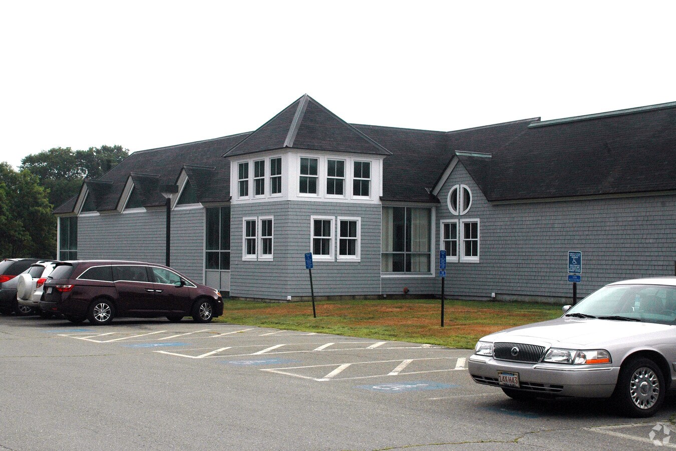
Property Record
445 Central St, Stoughton, MA 02072
NEARBY LISTINGS FOR SALE OR LEASE
-
-
View all Stoughton listings for sale on LoopNet.com
Property Detail
445 Central St
Taxexempt
Norfolk
X
Massachusetts
25021C0214E
18.20 AC
0
Route 24
2024
Boston
456200
Boston-Cambridge-Newton, MA-NH
93,782 SF
STOU-000079-000072
DEMOGRAPHICS near 445 Central St
1 Mile
3 Mile
5 Mile
2024 Total Population
6,976
53,127
180,409
2029 Population
6,918
52,622
178,663
Pop Growth 2024-2029
(0.83%)
(0.95%)
(0.97%)
Average Age
42
42
41
2024 Total Households
2,594
20,345
65,039
HH Growth 2024-2029
(0.93%)
(1.06%)
(0.99%)
Median Household Inc
$89,371
$89,431
$92,114
Avg Household Size
2.60
2.50
2.60
2024 Avg HH Vehicles
2.00
2.00
2.00
Median Home Value
$479,064
$448,571
$448,630
Median Year Built
1964
1969
1963
Nearby Places
- Restaurants
- Banks
- Shops
- Fitness
- Groceries
PUBLIC TRANSPORTATION
COMMUTER RAIL
Stoughton (Providence/Stoughton Line - Massachusetts Bay Transportation Authority Commuter Rail (Purple Line))
DRIVE
WALK
Distance
Stoughton (Providence/Stoughton Line - Massachusetts Bay Transportation Authority Commuter Rail (Purple Line))
3 min
1.3 mi
Holbrook/Randolph (Middleborough/Lakeville Line - Massachusetts Bay Transportation Authority Commuter Rail (Purple Line))
DRIVE
WALK
Distance
Holbrook/Randolph (Middleborough/Lakeville Line - Massachusetts Bay Transportation Authority Commuter Rail (Purple Line))
10 min
4.9 mi
AIRPORT
General Edward Lawrence Logan International
DRIVE
WALK
Distance
General Edward Lawrence Logan International
35 min
22.5 mi
Freight Ports
Port of Boston
DRIVE
WALK
Distance
Port of Boston
33 min
20.3 mi
Nearby Properties
Address
Land Use
TOTAL SIZE
Lot Size
Zoning
Address
Land Use
TOTAL SIZE
Lot Size
Zoning
13.08 AC
HB
Address
Land Use
TOTAL SIZE
Lot Size
Zoning
1,292 SF
36.06 AC
C5
Address
Land Use
TOTAL SIZE
Lot Size
Zoning
543,189 SF
22.90 AC
LI
Address
Land Use
TOTAL SIZE
Lot Size
Zoning
70,216 SF
6.86 AC
PROSD
Address
Land Use
TOTAL SIZE
Lot Size
Zoning
1,728 SF
40.20 AC
LI
Address
Land Use
TOTAL SIZE
Lot Size
Zoning
56,088 SF
23.94 AC
I
Address
Land Use
TOTAL SIZE
Lot Size
Zoning
417,014 SF
10 AC
LI
Address
Land Use
TOTAL SIZE
Lot Size
Zoning
17,052 SF
33.53 AC
PROSD
Address
Land Use
TOTAL SIZE
Lot Size
Zoning
86,564 SF
8.45 AC
GBHD
Address
Land Use
TOTAL SIZE
Lot Size
Zoning
403,163 SF
24.58 AC
I
Address
Land Use
TOTAL SIZE
Lot Size
Zoning
10.10 AC
CSBD
Address
Land Use
TOTAL SIZE
Lot Size
Zoning
379,908 SF
15.14 AC
Address
Land Use
TOTAL SIZE
Lot Size
Zoning
7.27 AC
GB
Address
Land Use
TOTAL SIZE
Lot Size
Zoning
2,600 SF
334.97 AC
R1C
Address
Land Use
TOTAL SIZE
Lot Size
Zoning
298,820 SF
19.65 AC
LI
Address
Land Use
TOTAL SIZE
Lot Size
Zoning
208,122 SF
20.30 AC
RU
Address
Land Use
TOTAL SIZE
Lot Size
Zoning
289,562 SF
13.59 AC
Address
Land Use
TOTAL SIZE
Lot Size
Zoning
253,912 SF
10.33 AC
R3
Address
Land Use
TOTAL SIZE
Lot Size
Zoning
126,237 SF
20.42 AC
R3
Address
Land Use
TOTAL SIZE
Lot Size
Zoning
34.45 AC
HB
Address
Land Use
TOTAL SIZE
Lot Size
Zoning
133,125 SF
16.13 AC
PROSD
Address
Land Use
TOTAL SIZE
Lot Size
Zoning
285,036 SF
20.45 AC
R3
Address
Land Use
TOTAL SIZE
Lot Size
Zoning
128,760 SF
19.51 AC
LI
Address
Land Use
TOTAL SIZE
Lot Size
Zoning
1,871 SF
39.63 AC
C2
Address
Land Use
TOTAL SIZE
Lot Size
Zoning
130,080 SF
2.82 AC
R3
Address
Land Use
TOTAL SIZE
Lot Size
Zoning
133,108 SF
4.48 AC
R3
Address
Land Use
TOTAL SIZE
Lot Size
Zoning
121,424 SF
11.11 AC
HB
Address
Land Use
TOTAL SIZE
Lot Size
Zoning
93,330 SF
13.90 AC
LI
Address
Land Use
TOTAL SIZE
Lot Size
Zoning
190,000 SF
11.42 AC
Address
Land Use
TOTAL SIZE
Lot Size
Zoning
168,224 SF
11.83 AC
LI
The World's #1 Commercial Real Estate Marketplace
Connect with us
© 2025 CoStar Group
The information above has been obtained from sources believed reliable. While we do not doubt its accuracy we have not verified it and make no guarantee, warranty or representation about it. It is your responsibility to independently confirm its accuracy and completeness. Any projections, opinions, assumptions, or estimates used are for example only and do not represent the current or future performance of the property. The value of this transaction to you depends on tax and other factors which should be evaluated by your tax, financial, and legal advisors. You and your advisors should conduct a careful, independent investigation of the property to determine to your satisfaction the suitability of the property for your needs.