Property Record
445 Route 9 Blvd, Waretown, NJ 08758
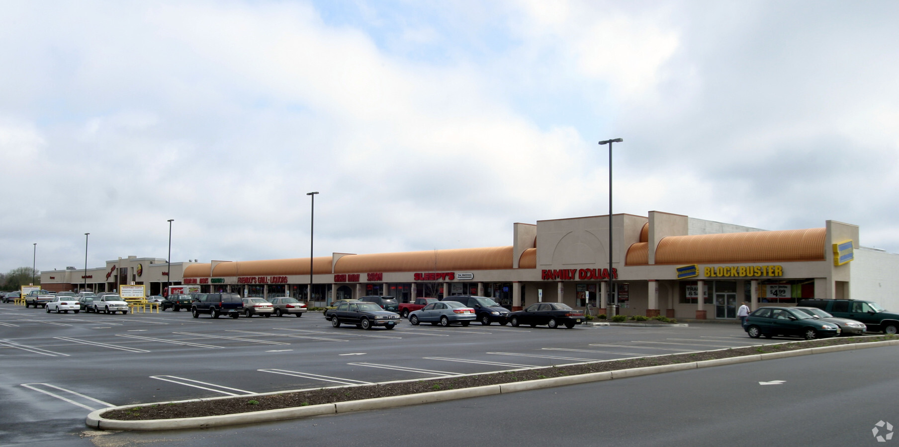
NEARBY LISTINGS FOR SALE OR LEASE
Property Detail
445 Route 9 Blvd
06-01108-01-00002
13.25 AC MCDONALDS & BANK
Commercialnec
Ocean
X
New Jersey
34029C0317F
1
2023
14.33 AC
2024
Ocean County
731001
Northern New Jersey
1,680 SF
New York-Jersey City-White Plains, NY-NJ
DEMOGRAPHICS near 445 Route 9 Blvd
1 Mile
3 Mile
5 Mile
2024 Total Population
8,147
46,772
113,628
2029 Population
8,692
49,832
122,000
Pop Growth 2024-2029
+ 6.69%
+ 6.54%
+ 7.37%
Average Age
40
39
40
2024 Total Households
3,143
16,893
42,329
HH Growth 2024-2029
+ 6.05%
+ 6.12%
+ 7.31%
Median Household Inc
$85,322
$88,502
$86,468
Avg Household Size
2.50
2.60
2.60
2024 Avg HH Vehicles
2.00
2.00
2.00
Median Home Value
$314,060
$311,227
$336,560
Median Year Built
1982
1976
1975
Nearby Places
- Restaurants
- Banks
- Shops
- Fitness
- Groceries
SALE & LEASE HISTORY
LISTING DATE
SALE/LEASE

Sep 25, 2016
For Lease
Dec 05, 2017
For Lease
Nearby Properties
Address
Land Use
TOTAL SIZE
Lot Size
Zoning
Address
Land Use
TOTAL SIZE
Lot Size
Zoning
35,102 SF
139.33 AC
LI
Address
Land Use
TOTAL SIZE
Lot Size
Zoning
15.67 AC
RC
Address
Land Use
TOTAL SIZE
Lot Size
Zoning
18,046 SF
22.43 AC
HB
Address
Land Use
TOTAL SIZE
Lot Size
Zoning
2,549 SF
16.02 AC
RC
Address
Land Use
TOTAL SIZE
Lot Size
Zoning
1,494 SF
17.30 AC
R200
Address
Land Use
TOTAL SIZE
Lot Size
Zoning
22.29 AC
HB
Address
Land Use
TOTAL SIZE
Lot Size
Zoning
10,360 SF
11.56 AC
HB
Address
Land Use
TOTAL SIZE
Lot Size
Zoning
14,102 SF
8 AC
HB
Address
Land Use
TOTAL SIZE
Lot Size
Zoning
17.86 AC
RM
Address
Land Use
TOTAL SIZE
Lot Size
Zoning
1,514 SF
10.77 AC
HB
Address
Land Use
TOTAL SIZE
Lot Size
Zoning
2,792 SF
13.72 AC
R100
Address
Land Use
TOTAL SIZE
Lot Size
Zoning
5,364 SF
16.30 AC
R125
Address
Land Use
TOTAL SIZE
Lot Size
Zoning
60,759 SF
6.92 AC
R200
Address
Land Use
TOTAL SIZE
Lot Size
Zoning
559.95 AC
GI
Address
Land Use
TOTAL SIZE
Lot Size
Zoning
2,066 SF
8.93 AC
RMF
Address
Land Use
TOTAL SIZE
Lot Size
Zoning
1,602 SF
6.09 AC
R150
Address
Land Use
TOTAL SIZE
Lot Size
Zoning
1.24 AC
R
Address
Land Use
TOTAL SIZE
Lot Size
Zoning
2,188 SF
9.90 AC
M-R
Address
Land Use
TOTAL SIZE
Lot Size
Zoning
18,100 SF
2.30 AC
SPLT
Address
Land Use
TOTAL SIZE
Lot Size
Zoning
2,896 SF
25 AC
R200
Address
Land Use
TOTAL SIZE
Lot Size
Zoning
6.26 AC
RMF
Address
Land Use
TOTAL SIZE
Lot Size
Zoning
2,454 SF
1.90 AC
HB
Address
Land Use
TOTAL SIZE
Lot Size
Zoning
11,597 SF
2.76 AC
C
Address
Land Use
TOTAL SIZE
Lot Size
Zoning
5,624 SF
4.18 AC
HB
Address
Land Use
TOTAL SIZE
Lot Size
Zoning
102.71 AC
HB
Address
Land Use
TOTAL SIZE
Lot Size
Zoning
80,700 SF
4.12 AC
HB
Address
Land Use
TOTAL SIZE
Lot Size
Zoning
3,840 SF
244.21 AC
CR
Address
Land Use
TOTAL SIZE
Lot Size
Zoning
3,833 SF
2.69 AC
HB
Address
Land Use
TOTAL SIZE
Lot Size
Zoning
4,904 SF
8.56 AC
M-R
The World's #1 Commercial Real Estate Marketplace
Connect with us
© 2025 CoStar Group
The information above has been obtained from sources believed reliable. While we do not doubt its accuracy we have not verified it and make no guarantee, warranty or representation about it. It is your responsibility to independently confirm its accuracy and completeness. Any projections, opinions, assumptions, or estimates used are for example only and do not represent the current or future performance of the property. The value of this transaction to you depends on tax and other factors which should be evaluated by your tax, financial, and legal advisors. You and your advisors should conduct a careful, independent investigation of the property to determine to your satisfaction the suitability of the property for your needs.