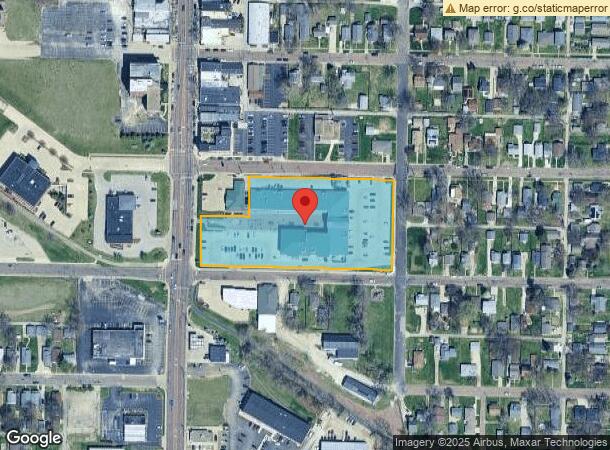
Property Record
4450 N Prospect Rd, Peoria Heights, IL 61616


NEARBY LISTINGS FOR SALE OR LEASE
Property Detail
4450 N Prospect Rd
Peoria
Boulevard Add
Peoria, IL
BOULEVARD ADD SE 1/4 SEC 22-9N-8E 3.094 AC BEG NE COR BLK 9: TH W 427.43 S 118.51 W 142.89 S 147.49 E 570.32 N 266 TO POB PT BLK 9 INCL PT SCHOOL LOT, PT VAC ALLEYS & PT VAC LOTS ADJ PROSPECT RD
14-22-451-011
Peoria
Commercialnec
Illinois
2023
3.09 AC
2023
North Peoria
004200
DEMOGRAPHICS near 4450 N Prospect Rd
1 Mile
3 Mile
5 Mile
2024 Total Population
6,444
51,324
110,791
2029 Population
6,259
50,385
108,863
Pop Growth 2024-2029
(2.87%)
(1.83%)
(1.74%)
Average Age
41
40
40
2024 Total Households
3,108
22,219
47,825
HH Growth 2024-2029
(3.09%)
(2.11%)
(1.96%)
Median Household Inc
$53,412
$46,548
$51,220
Avg Household Size
2.00
2.20
2.20
2024 Avg HH Vehicles
2.00
1.00
2.00
Median Home Value
$95,127
$111,761
$128,716
Median Year Built
1953
1954
1962
Nearby Places
- Restaurants
- Banks
- Shops
- Fitness
- Groceries
PUBLIC TRANSPORTATION
AIRPORT
General Wayne A. Downing Peoria International
DRIVE
WALK
Distance
General Wayne A. Downing Peoria International
19 min
13.7 mi
Freight Ports
Port of Shreveport
DRIVE
WALK
Distance
Port of Shreveport
1 min
621.4 mi
SALE & LEASE HISTORY
LISTING DATE
SALE/LEASE

Sep 25, 2016
For Lease
Nearby Properties
Address
Land Use
TOTAL SIZE
Lot Size
Zoning
Address
Land Use
TOTAL SIZE
Lot Size
Zoning
20.08 AC
Address
Land Use
TOTAL SIZE
Lot Size
Zoning
6.05 AC
Address
Land Use
TOTAL SIZE
Lot Size
Zoning
18.07 AC
Address
Land Use
TOTAL SIZE
Lot Size
Zoning
1.32 AC
Address
Land Use
TOTAL SIZE
Lot Size
Zoning
17.21 AC
Address
Land Use
TOTAL SIZE
Lot Size
Zoning
5.50 AC
Address
Land Use
TOTAL SIZE
Lot Size
Zoning
Address
Land Use
TOTAL SIZE
Lot Size
Zoning
18.21 AC
Address
Land Use
TOTAL SIZE
Lot Size
Zoning
25.71 AC
Address
Land Use
TOTAL SIZE
Lot Size
Zoning
5.39 AC
Address
Land Use
TOTAL SIZE
Lot Size
Zoning
21.34 AC
Address
Land Use
TOTAL SIZE
Lot Size
Zoning
9.40 AC
Address
Land Use
TOTAL SIZE
Lot Size
Zoning
17.42 AC
Address
Land Use
TOTAL SIZE
Lot Size
Zoning
2.68 AC
Address
Land Use
TOTAL SIZE
Lot Size
Zoning
7.20 AC
Address
Land Use
TOTAL SIZE
Lot Size
Zoning
0.94 AC
Address
Land Use
TOTAL SIZE
Lot Size
Zoning
47,352 SF
Address
Land Use
TOTAL SIZE
Lot Size
Zoning
Address
Land Use
TOTAL SIZE
Lot Size
Zoning
5.01 AC
Address
Land Use
TOTAL SIZE
Lot Size
Zoning
18.67 AC
Address
Land Use
TOTAL SIZE
Lot Size
Zoning
5.73 AC
Address
Land Use
TOTAL SIZE
Lot Size
Zoning
Address
Land Use
TOTAL SIZE
Lot Size
Zoning
6.27 AC
Address
Land Use
TOTAL SIZE
Lot Size
Zoning
5.69 AC
Address
Land Use
TOTAL SIZE
Lot Size
Zoning
Address
Land Use
TOTAL SIZE
Lot Size
Zoning
0.82 AC
Address
Land Use
TOTAL SIZE
Lot Size
Zoning
1.12 AC
Address
Land Use
TOTAL SIZE
Lot Size
Zoning
26.62 AC
The World's #1 Commercial Real Estate Marketplace
Connect with us
© 2025 CoStar Group
The information above has been obtained from sources believed reliable. While we do not doubt its accuracy we have not verified it and make no guarantee, warranty or representation about it. It is your responsibility to independently confirm its accuracy and completeness. Any projections, opinions, assumptions, or estimates used are for example only and do not represent the current or future performance of the property. The value of this transaction to you depends on tax and other factors which should be evaluated by your tax, financial, and legal advisors. You and your advisors should conduct a careful, independent investigation of the property to determine to your satisfaction the suitability of the property for your needs.