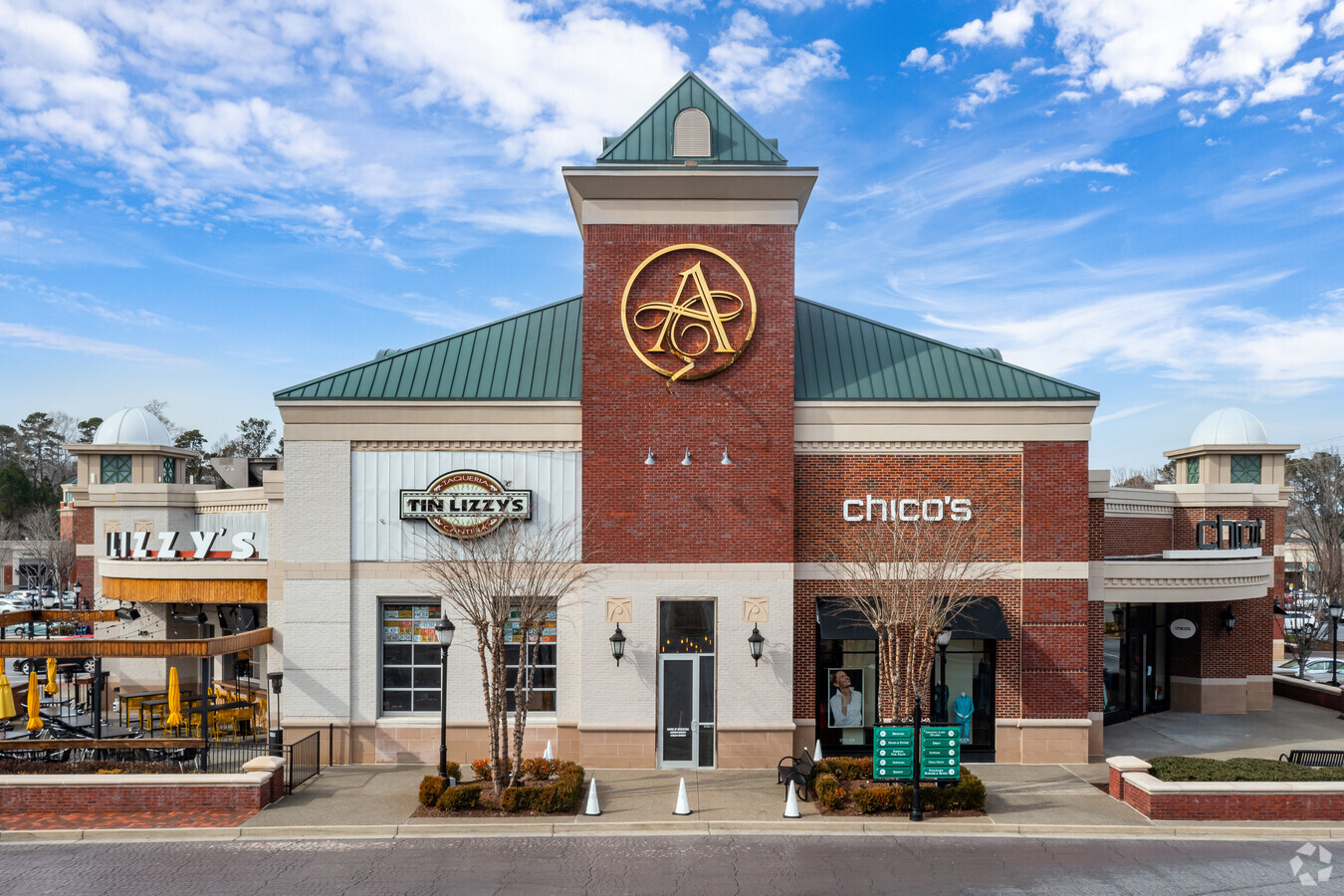
Property Record
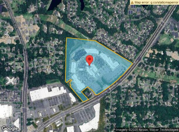
4475 Roswell Rd, Marietta, GA 30062
NEARBY LISTINGS FOR SALE OR LEASE
Property Detail
4475 Roswell Rd
16-0829-0-003-0
4475 ROSWELL ROAD SUITE 1530 2100 ROSWELL ROAD SUITE 1A LL829,16,1029&1060 DIST 16&1
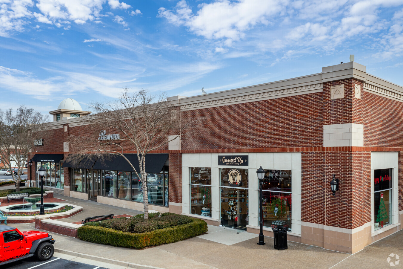
Regionalshoppingcenterormallwithanchorstore
Cobb
X
Georgia
13067C0131G
829
2024
29.70 AC
2024
Town Center/Marietta
030369
Atlanta
258,955 SF
Atlanta-Sandy Springs-Roswell, GA
DEMOGRAPHICS near 4475 Roswell Rd
1 Mile
3 Mile
5 Mile
2024 Total Population
7,727
62,458
191,878
2029 Population
7,789
62,900
193,753
Pop Growth 2024-2029
+ 0.80%
+ 0.71%
+ 0.98%
Average Age
41
42
41
2024 Total Households
2,485
21,473
74,255
HH Growth 2024-2029
+ 0.76%
+ 0.68%
+ 0.99%
Median Household Inc
$177,187
$159,131
$119,755
Avg Household Size
3.10
2.90
2.50
2024 Avg HH Vehicles
2.00
2.00
2.00
Median Home Value
$636,695
$543,207
$480,465
Median Year Built
1984
1983
1983
Nearby Places
- Restaurants
- Banks
- Shops
- Fitness
- Groceries
PUBLIC TRANSPORTATION
AIRPORT
Hartsfield - Jackson Atlanta International
DRIVE
WALK
Distance
Hartsfield - Jackson Atlanta International
47 min
32.2 mi
Freight Ports
Georgia Ports - Savannah
DRIVE
WALK
Distance
Georgia Ports - Savannah
310 min
271.5 mi
Nearby Properties
Address
Land Use
TOTAL SIZE
Lot Size
Zoning
Address
Land Use
TOTAL SIZE
Lot Size
Zoning
3,406 SF
23.12 AC
R20
Address
Land Use
TOTAL SIZE
Lot Size
Zoning
299,534 SF
30.94 AC
E2
Address
Land Use
TOTAL SIZE
Lot Size
Zoning
166,048 SF
20.29 AC
GC
Address
Land Use
TOTAL SIZE
Lot Size
Zoning
194,453 SF
17.71 AC
CRC/WS
Address
Land Use
TOTAL SIZE
Lot Size
Zoning
119,776 SF
11.17 AC
NS/WS
Address
Land Use
TOTAL SIZE
Lot Size
Zoning
92,787 SF
11.69 AC
CRC/NS
Address
Land Use
TOTAL SIZE
Lot Size
Zoning
113,274 SF
14.30 AC
NRC
Address
Land Use
TOTAL SIZE
Lot Size
Zoning
152,191 SF
9.62 AC
RSL
Address
Land Use
TOTAL SIZE
Lot Size
Zoning
106,968 SF
0.77 AC
PSC
Address
Land Use
TOTAL SIZE
Lot Size
Zoning
67,397 SF
7.59 AC
NS
Address
Land Use
TOTAL SIZE
Lot Size
Zoning
1,576 SF
3.24 AC
RSL
Address
Land Use
TOTAL SIZE
Lot Size
Zoning
96,575 SF
14.19 AC
CRC
Address
Land Use
TOTAL SIZE
Lot Size
Zoning
84,299 SF
13.83 AC
GC
Address
Land Use
TOTAL SIZE
Lot Size
Zoning
84,473 SF
13.06 AC
NRC
Address
Land Use
TOTAL SIZE
Lot Size
Zoning
78,103 SF
8.54 AC
CRC/WS
Address
Land Use
TOTAL SIZE
Lot Size
Zoning
239,207 SF
8.78 AC
GC/WS
Address
Land Use
TOTAL SIZE
Lot Size
Zoning
91,439 SF
10 AC
C3
Address
Land Use
TOTAL SIZE
Lot Size
Zoning
44,346 SF
4.46 AC
CRC
Address
Land Use
TOTAL SIZE
Lot Size
Zoning
138,200 SF
17.70 AC
CRC/WS
Address
Land Use
TOTAL SIZE
Lot Size
Zoning
117,668 SF
12.17 AC
PSC
Address
Land Use
TOTAL SIZE
Lot Size
Zoning
64,015 SF
4.37 AC
CRC/WS
Address
Land Use
TOTAL SIZE
Lot Size
Zoning
87,132 SF
7.10 AC
PSC
Address
Land Use
TOTAL SIZE
Lot Size
Zoning
98,580 SF
1.28 AC
GC
Address
Land Use
TOTAL SIZE
Lot Size
Zoning
59,632 SF
2.40 AC
OI
Address
Land Use
TOTAL SIZE
Lot Size
Zoning
128,491 SF
9.09 AC
OI
Address
Land Use
TOTAL SIZE
Lot Size
Zoning
48,189 SF
5.87 AC
PSC
Address
Land Use
TOTAL SIZE
Lot Size
Zoning
90,942 SF
1.33 AC
NRC/WS
Address
Land Use
TOTAL SIZE
Lot Size
Zoning
59,494 SF
1.96 AC
O&I/WS
Address
Land Use
TOTAL SIZE
Lot Size
Zoning
77,592 SF
1.48 AC
GC
The World's #1 Commercial Real Estate Marketplace
Connect with us
© 2025 CoStar Group
The information above has been obtained from sources believed reliable. While we do not doubt its accuracy we have not verified it and make no guarantee, warranty or representation about it. It is your responsibility to independently confirm its accuracy and completeness. Any projections, opinions, assumptions, or estimates used are for example only and do not represent the current or future performance of the property. The value of this transaction to you depends on tax and other factors which should be evaluated by your tax, financial, and legal advisors. You and your advisors should conduct a careful, independent investigation of the property to determine to your satisfaction the suitability of the property for your needs.