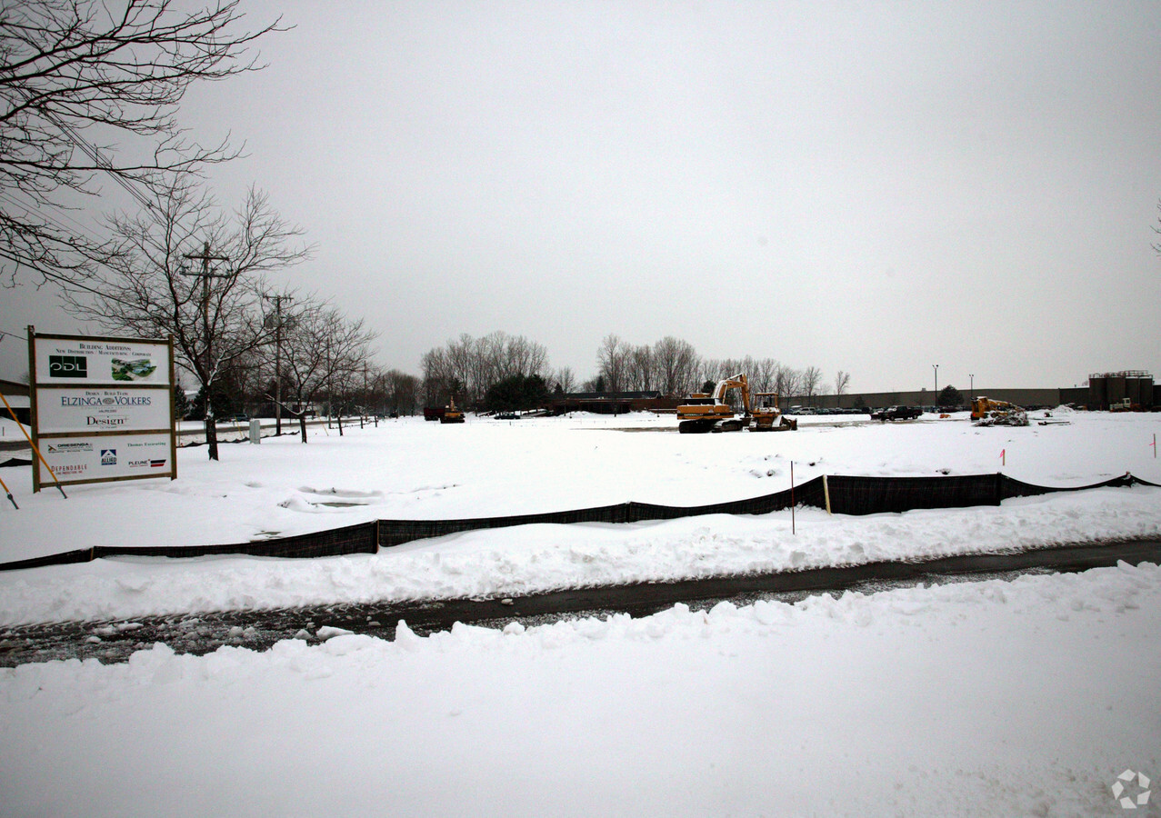
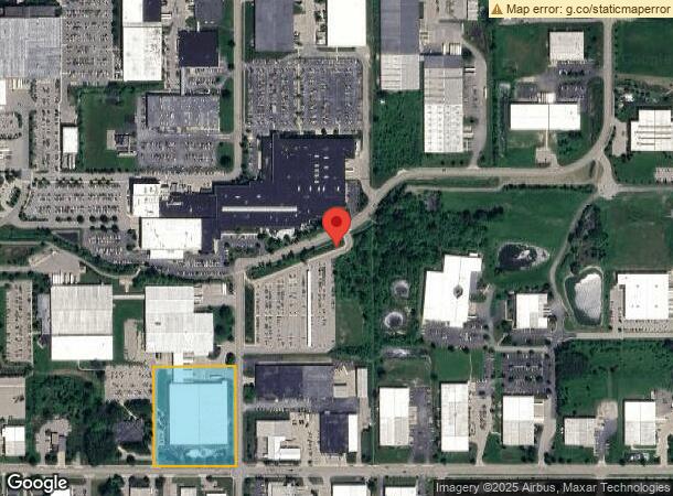
Property Record
450 N Centennial St, Zeeland, MI 49464
NEARBY LISTINGS FOR SALE OR LEASE
Property Detail
450 N Centennial St
70-17-18-100-096
PART OF NW 1/4 COM 719 FT W & 33 FT N OF SE COR, TH W 42692 FT, N 51863 FT, E 42692 FT, TH S 51863 FT ALG W LI OF CENTENNIAL ST TO BEG SEC 18 T5N R14W 508A FROM 70-17-18-100-032,-033 1/03
Lightindustrial
Ottawa
X
Michigan
26139C0309E
5.08 AC
2023
Zeeland
2024
West Michigan
022900
Grand Rapids-Wyoming, MI
107,203 SF
DEMOGRAPHICS near 450 N Centennial St
1 Mile
3 Mile
5 Mile
2024 Total Population
5,027
25,113
51,830
2029 Population
5,201
26,120
54,080
Pop Growth 2024-2029
+ 3.46%
+ 4.01%
+ 4.34%
Average Age
37
39
38
2024 Total Households
1,828
9,028
19,100
HH Growth 2024-2029
+ 3.56%
+ 4.13%
+ 4.51%
Median Household Inc
$75,371
$85,677
$77,649
Avg Household Size
2.70
2.70
2.60
2024 Avg HH Vehicles
2.00
2.00
2.00
Median Home Value
$224,255
$253,378
$250,865
Median Year Built
1957
1992
1991
Nearby Places
- Restaurants
- Banks
- Shops
- Fitness
- Groceries
PUBLIC TRANSPORTATION
COMMUTER RAIL
Holland Amtrak Station (Pere Marquette - Amtrak)
DRIVE
WALK
Distance
Holland Amtrak Station (Pere Marquette - Amtrak)
12 min
6.1 mi
AIRPORT
Gerald R Ford International
DRIVE
WALK
Distance
Gerald R Ford International
41 min
29.7 mi
Freight Ports
Port Milwaukee
DRIVE
WALK
Distance
Port Milwaukee
285 min
242.0 mi
Nearby Properties
Address
Land Use
TOTAL SIZE
Lot Size
Zoning
Address
Land Use
TOTAL SIZE
Lot Size
Zoning
1,134,118 SF
73.70 AC
I-2
Address
Land Use
TOTAL SIZE
Lot Size
Zoning
255,407 SF
23.18 AC
I-2
Address
Land Use
TOTAL SIZE
Lot Size
Zoning
349,583 SF
I
Address
Land Use
TOTAL SIZE
Lot Size
Zoning
662,015 SF
177 AC
SEE MAP
Address
Land Use
TOTAL SIZE
Lot Size
Zoning
716,625 SF
123.22 AC
I-2
Address
Land Use
TOTAL SIZE
Lot Size
Zoning
259,200 SF
R-1
Address
Land Use
TOTAL SIZE
Lot Size
Zoning
6,000 SF
46.50 AC
I-2
Address
Land Use
TOTAL SIZE
Lot Size
Zoning
173,176 SF
28.57 AC
I-1
Address
Land Use
TOTAL SIZE
Lot Size
Zoning
82,556 SF
Address
Land Use
TOTAL SIZE
Lot Size
Zoning
35,715 SF
Address
Land Use
TOTAL SIZE
Lot Size
Zoning
230,020 SF
Address
Land Use
TOTAL SIZE
Lot Size
Zoning
184,944 SF
12.57 AC
R-3
Address
Land Use
TOTAL SIZE
Lot Size
Zoning
109,988 SF
12.71 AC
OS-1
Address
Land Use
TOTAL SIZE
Lot Size
Zoning
77,624 SF
27.32 AC
I-1
Address
Land Use
TOTAL SIZE
Lot Size
Zoning
181,847 SF
12.99 AC
I-1
Address
Land Use
TOTAL SIZE
Lot Size
Zoning
376,204 SF
20.10 AC
I-1
Address
Land Use
TOTAL SIZE
Lot Size
Zoning
3,880 SF
80 AC
RMH
Address
Land Use
TOTAL SIZE
Lot Size
Zoning
49,013 SF
11.76 AC
C-2
Address
Land Use
TOTAL SIZE
Lot Size
Zoning
88,093 SF
Address
Land Use
TOTAL SIZE
Lot Size
Zoning
243,795 SF
17.31 AC
AG
Address
Land Use
TOTAL SIZE
Lot Size
Zoning
222,251 SF
12.96 AC
I
Address
Land Use
TOTAL SIZE
Lot Size
Zoning
220,885 SF
10 AC
I-2
Address
Land Use
TOTAL SIZE
Lot Size
Zoning
594,031 SF
R-1
Address
Land Use
TOTAL SIZE
Lot Size
Zoning
172,480 SF
14.62 AC
I
Address
Land Use
TOTAL SIZE
Lot Size
Zoning
209,312 SF
10.01 AC
I-2
Address
Land Use
TOTAL SIZE
Lot Size
Zoning
20,047 SF
12.86 AC
C-3
Address
Land Use
TOTAL SIZE
Lot Size
Zoning
202,238 SF
14.87 AC
I-1
Address
Land Use
TOTAL SIZE
Lot Size
Zoning
203,840 SF
8.97 AC
I-2
Address
Land Use
TOTAL SIZE
Lot Size
Zoning
671,142 SF
35.82 AC
AG
Address
Land Use
TOTAL SIZE
Lot Size
Zoning
139,009 SF
32.52 AC
I-2
The World's #1 Commercial Real Estate Marketplace
Connect with us
© 2025 CoStar Group
The information above has been obtained from sources believed reliable. While we do not doubt its accuracy we have not verified it and make no guarantee, warranty or representation about it. It is your responsibility to independently confirm its accuracy and completeness. Any projections, opinions, assumptions, or estimates used are for example only and do not represent the current or future performance of the property. The value of this transaction to you depends on tax and other factors which should be evaluated by your tax, financial, and legal advisors. You and your advisors should conduct a careful, independent investigation of the property to determine to your satisfaction the suitability of the property for your needs.