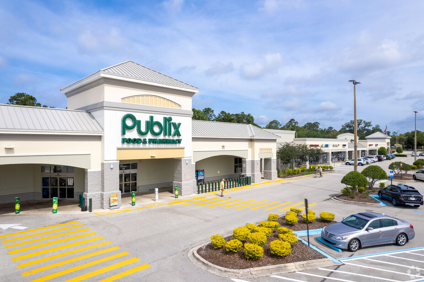
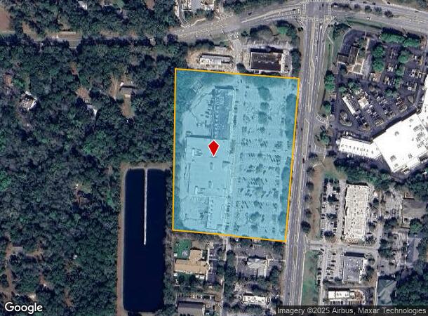
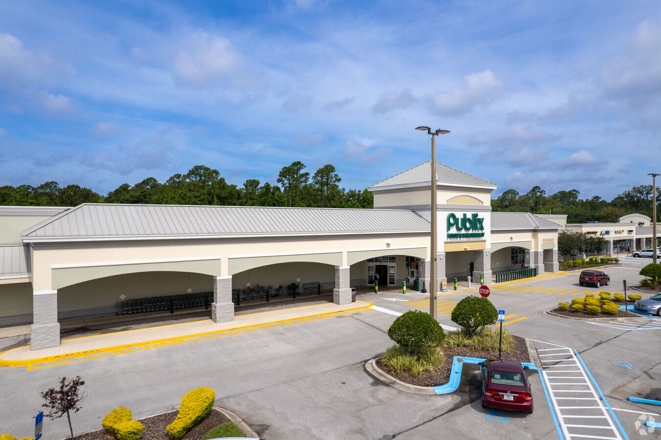
Property Record
450 State Road 13 N, Saint Johns, FL 32259
NEARBY LISTINGS FOR SALE OR LEASE
Property Detail
450 State Road 13 N
Jacksonville, FL
Unit One Of Alcazar Gardens
004240-0010
5-1 PT OF GL 7 & GL 2 LYING S OF FRUIT COVE RD & W OF SR 13 (EX OUTPARCEL 2 IN OR1469/942) (EX OUTPARCEL 3 IN OR1471/635) (EX OUTPARCEL 1 IN OR1512/311) (EX PT OF OUTPARCEL 5 IN OR1532/279)(EX OUTPARCEL 4 IN OR1664/507) (EX OUTPARCEL 5.2 IN OR1862/26
Regionalshoppingcenterormallwithanchorstore
St. Johns
X
Florida
12109C0132J
9
2023
10.27 AC
2024
St Johns County
020803
Jacksonville (Florida)
82,518 SF
DEMOGRAPHICS near 450 State Road 13 N
1 Mile
3 Mile
5 Mile
2024 Total Population
5,131
41,276
107,323
2029 Population
6,670
49,701
124,674
Pop Growth 2024-2029
+ 29.99%
+ 20.41%
+ 16.17%
Average Age
47
43
41
2024 Total Households
1,736
14,540
38,957
HH Growth 2024-2029
+ 29.49%
+ 19.21%
+ 14.63%
Median Household Inc
$119,841
$116,912
$103,504
Avg Household Size
2.60
2.70
2.70
2024 Avg HH Vehicles
2.00
2.00
2.00
Median Home Value
$373,486
$373,909
$345,830
Median Year Built
1990
1994
1994
Nearby Places
- Restaurants
- Banks
- Shops
- Fitness
- Groceries
PUBLIC TRANSPORTATION
AIRPORT
Jacksonville International
DRIVE
WALK
Distance
Jacksonville International
52 min
37.5 mi
Freight Ports
Jacksonville Port
DRIVE
WALK
Distance
Jacksonville Port
37 min
20.5 mi
SALE & LEASE HISTORY
LISTING DATE
SALE/LEASE

Sep 25, 2016
For Lease
Oct 15, 2018
For Lease
Jul 24, 2017
For Lease
Nearby Properties
Address
Land Use
TOTAL SIZE
Lot Size
Zoning
Address
Land Use
TOTAL SIZE
Lot Size
Zoning
388,481 SF
18.61 AC
Address
Land Use
TOTAL SIZE
Lot Size
Zoning
211,499 SF
74.05 AC
Address
Land Use
TOTAL SIZE
Lot Size
Zoning
193,858 SF
8.67 AC
PUD
Address
Land Use
TOTAL SIZE
Lot Size
Zoning
96,065 SF
4.11 AC
PUD
Address
Land Use
TOTAL SIZE
Lot Size
Zoning
45.39 AC
Address
Land Use
TOTAL SIZE
Lot Size
Zoning
321,392 SF
42.84 AC
PUD
Address
Land Use
TOTAL SIZE
Lot Size
Zoning
16.56 AC
Address
Land Use
TOTAL SIZE
Lot Size
Zoning
80,974 SF
4.94 AC
CCG-1
Address
Land Use
TOTAL SIZE
Lot Size
Zoning
35.07 AC
Address
Land Use
TOTAL SIZE
Lot Size
Zoning
122,561 SF
48.29 AC
OR
Address
Land Use
TOTAL SIZE
Lot Size
Zoning
65,155 SF
58.66 AC
OR
Address
Land Use
TOTAL SIZE
Lot Size
Zoning
66,280 SF
9.45 AC
PUD
Address
Land Use
TOTAL SIZE
Lot Size
Zoning
94,789 SF
30 AC
OR
Address
Land Use
TOTAL SIZE
Lot Size
Zoning
50,800 SF
2.39 AC
PUD
Address
Land Use
TOTAL SIZE
Lot Size
Zoning
84,122 SF
4.96 AC
PUD
Address
Land Use
TOTAL SIZE
Lot Size
Zoning
28.82 AC
Address
Land Use
TOTAL SIZE
Lot Size
Zoning
78,656 SF
2.73 AC
CCG-1
Address
Land Use
TOTAL SIZE
Lot Size
Zoning
81,119 SF
9.10 AC
PUD
Address
Land Use
TOTAL SIZE
Lot Size
Zoning
97,776 SF
12.34 AC
PUD
Address
Land Use
TOTAL SIZE
Lot Size
Zoning
58,139 SF
7.92 AC
OR
Address
Land Use
TOTAL SIZE
Lot Size
Zoning
Address
Land Use
TOTAL SIZE
Lot Size
Zoning
597.07 AC
PUD
Address
Land Use
TOTAL SIZE
Lot Size
Zoning
95,870 SF
9.71 AC
OR
Address
Land Use
TOTAL SIZE
Lot Size
Zoning
91,522 SF
9.84 AC
PUD
Address
Land Use
TOTAL SIZE
Lot Size
Zoning
45,676 SF
5.86 AC
PUD
Address
Land Use
TOTAL SIZE
Lot Size
Zoning
471.10 AC
Address
Land Use
TOTAL SIZE
Lot Size
Zoning
101,150 SF
11.51 AC
PUD
Address
Land Use
TOTAL SIZE
Lot Size
Zoning
93,536 SF
3.85 AC
CCG-1
Address
Land Use
TOTAL SIZE
Lot Size
Zoning
25,837 SF
5.05 AC
OR
The World's #1 Commercial Real Estate Marketplace
Connect with us
© 2025 CoStar Group
The information above has been obtained from sources believed reliable. While we do not doubt its accuracy we have not verified it and make no guarantee, warranty or representation about it. It is your responsibility to independently confirm its accuracy and completeness. Any projections, opinions, assumptions, or estimates used are for example only and do not represent the current or future performance of the property. The value of this transaction to you depends on tax and other factors which should be evaluated by your tax, financial, and legal advisors. You and your advisors should conduct a careful, independent investigation of the property to determine to your satisfaction the suitability of the property for your needs.