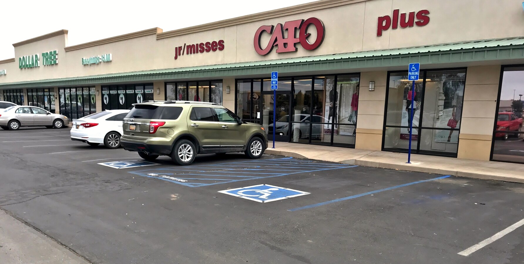
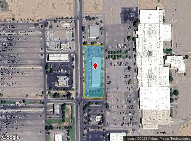
Property Record
4511 N Main St, Roswell, NM 88201
NEARBY LISTINGS FOR SALE OR LEASE
-
-
View all Roswell listings for lease on LoopNet.com
Property Detail
4511 N Main St
Roswell, NM
Samarcan Sub
R006432
SUBD: SAMARCAN SUB LOT: 3 AND:- LOT: 4 , S: 16 T: 10S R: 24E BK: 517 PG: 1034 SPWD
Realpropertynec
Chaves
X
New Mexico
35005C1375D
3-4
2023
2.52 AC
2024
New Mexico South Area
001001
Other Market Areas
24,817 SF
DEMOGRAPHICS near 4511 N Main St
1 Mile
3 Mile
5 Mile
2024 Total Population
3,088
16,443
37,425
2029 Population
3,016
16,141
36,969
Pop Growth 2024-2029
(2.33%)
(1.84%)
(1.22%)
Average Age
40
40
39
2024 Total Households
1,144
6,368
14,226
HH Growth 2024-2029
(2.45%)
(1.95%)
(1.34%)
Median Household Inc
$79,752
$66,383
$50,791
Avg Household Size
2.70
2.50
2.50
2024 Avg HH Vehicles
2.00
2.00
2.00
Median Home Value
$186,740
$188,215
$158,034
Median Year Built
1979
1978
1971
Nearby Places
- Restaurants
- Banks
- Shops
- Fitness
- Groceries
PUBLIC TRANSPORTATION
AIRPORT
Roswell Air Center
Drive
Walk
Distance
Roswell Air Center
22 min
15.2 mi
Freight Ports
Tulsa Port Of Catoosa
Drive
Walk
Distance
Tulsa Port Of Catoosa
634 min
585.4 mi
SALE & LEASE HISTORY
LISTING DATE
SALE/LEASE

Oct 21, 2024
For Lease
Mar 16, 2017
For Lease
Jun 05, 2017
For Lease
Nearby Properties
Address
Land Use
TOTAL SIZE
Lot Size
Zoning
Address
Land Use
TOTAL SIZE
Lot Size
Zoning
3.68 AC
CENTRAL BU
Address
Land Use
TOTAL SIZE
Lot Size
Zoning
10644
5.81 AC
COMMUNITY
Address
Land Use
TOTAL SIZE
Lot Size
Zoning
23.93 AC
RESIDENTIA
Address
Land Use
TOTAL SIZE
Lot Size
Zoning
233272
9.40 AC
COMMUNITY
Address
Land Use
TOTAL SIZE
Lot Size
Zoning
2.54 AC
RESIDENTIA
Address
Land Use
TOTAL SIZE
Lot Size
Zoning
22.08 AC
Address
Land Use
TOTAL SIZE
Lot Size
Zoning
150.96 AC
RESIDENTIA
Address
Land Use
TOTAL SIZE
Lot Size
Zoning
17567
1.24 AC
RESIDENTIA
Address
Land Use
TOTAL SIZE
Lot Size
Zoning
6.47 AC
RESIDENTIA
Address
Land Use
TOTAL SIZE
Lot Size
Zoning
209793
22.13 AC
COMMUNITY
Address
Land Use
TOTAL SIZE
Lot Size
Zoning
9.05 AC
Address
Land Use
TOTAL SIZE
Lot Size
Zoning
134448
15.85 AC
COMMUNITY
Address
Land Use
TOTAL SIZE
Lot Size
Zoning
20.23 AC
RESIDENTIA
Address
Land Use
TOTAL SIZE
Lot Size
Zoning
39382
1.90 AC
COMMUNITY
Address
Land Use
TOTAL SIZE
Lot Size
Zoning
29.09 AC
RESIDENTIA
Address
Land Use
TOTAL SIZE
Lot Size
Zoning
6.48 AC
RESIDENTIA
Address
Land Use
TOTAL SIZE
Lot Size
Zoning
39383
2.11 AC
COMMUNITY
Address
Land Use
TOTAL SIZE
Lot Size
Zoning
261837
18.30 AC
COMMUNITY
Address
Land Use
TOTAL SIZE
Lot Size
Zoning
2,110.01 AC
Address
Land Use
TOTAL SIZE
Lot Size
Zoning
59672
3.04 AC
COMMUNITY
Address
Land Use
TOTAL SIZE
Lot Size
Zoning
50281
1.47 AC
COMMUNITY
Address
Land Use
TOTAL SIZE
Lot Size
Zoning
33201
4.27 AC
COMMUNITY
Address
Land Use
TOTAL SIZE
Lot Size
Zoning
12689
4.86 AC
RESIDENTIA
Address
Land Use
TOTAL SIZE
Lot Size
Zoning
9.39 AC
RESIDENTIA
Address
Land Use
TOTAL SIZE
Lot Size
Zoning
21970
2.28 AC
LIGHT INDU
Address
Land Use
TOTAL SIZE
Lot Size
Zoning
5 AC
RESIDENTIA
Address
Land Use
TOTAL SIZE
Lot Size
Zoning
92983
6.39 AC
COMMUNITY
Address
Land Use
TOTAL SIZE
Lot Size
Zoning
37965
1.70 AC
COMMUNITY
Address
Land Use
TOTAL SIZE
Lot Size
Zoning
37065
1.59 AC
COMMUNITY
Address
Land Use
TOTAL SIZE
Lot Size
Zoning
42002
1.74 AC
COMMUNITY
Start a new search to find other properties for sale or lease
Connect with us
© 2024 CoStar Group
The information above has been obtained from sources believed reliable. While we do not doubt its accuracy we have not verified it and make no guarantee, warranty or representation about it. It is your responsibility to independently confirm its accuracy and completeness. Any projections, opinions, assumptions, or estimates used are for example only and do not represent the current or future performance of the property. The value of this transaction to you depends on tax and other factors which should be evaluated by your tax, financial, and legal advisors. You and your advisors should conduct a careful, independent investigation of the property to determine to your satisfaction the suitability of the property for your needs.