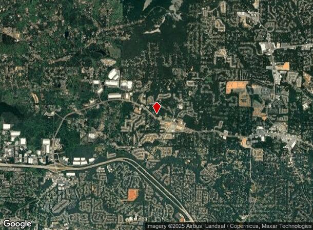
Property Record
4521 Wade Green Rd Nw, Acworth, GA 30102
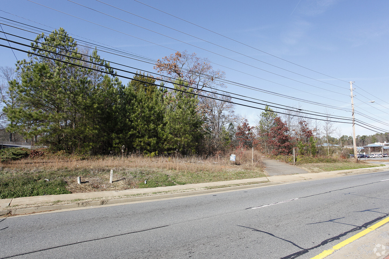
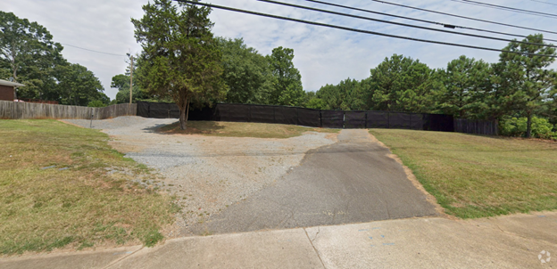

This Property Is For Sale
NEARBY LISTINGS FOR SALE OR LEASE
Property Detail
4521 Wade Green Rd Nw
Atlanta-Sandy Springs-Roswell, GA
Kwang Soo Han & Sun Wha Han
20-0022-0-008-0
Cobb
Commercialnec
Georgia
X
22
13057C0329E
0.72 AC
2024
Kennesaw/Town Center
2024
Atlanta
091107
DEMOGRAPHICS near 4521 Wade Green Rd Nw
1 Mile
3 Mile
5 Mile
2024 Total Population
11,075
83,045
193,403
2029 Population
11,149
87,092
204,730
Pop Growth 2024-2029
+ 0.67%
+ 4.87%
+ 5.86%
Average Age
37
37
38
2024 Total Households
4,165
29,619
72,133
HH Growth 2024-2029
+ 0.65%
+ 4.95%
+ 5.92%
Median Household Inc
$89,100
$84,663
$84,763
Avg Household Size
2.60
2.70
2.60
2024 Avg HH Vehicles
2.00
2.00
2.00
Median Home Value
$250,974
$278,774
$285,033
Median Year Built
1991
1993
1994
Nearby Places
- Restaurants
- Banks
- Shops
- Fitness
- Groceries
Nearby Properties
Address
Land Use
TOTAL SIZE
Lot Size
Zoning
Address
Land Use
TOTAL SIZE
Lot Size
Zoning
497,466 SF
40.63 AC
RM-12
Address
Land Use
TOTAL SIZE
Lot Size
Zoning
87,230 SF
12.16 AC
R-40
Address
Land Use
TOTAL SIZE
Lot Size
Zoning
42,713 SF
17.71 AC
RTH
Address
Land Use
TOTAL SIZE
Lot Size
Zoning
121,404 SF
39.92 AC
LI
Address
Land Use
TOTAL SIZE
Lot Size
Zoning
225,382 SF
18.66 AC
RM-8
Address
Land Use
TOTAL SIZE
Lot Size
Zoning
49,189 SF
8.99 AC
RM16
Address
Land Use
TOTAL SIZE
Lot Size
Zoning
200,596 SF
16.04 AC
RM-8
Address
Land Use
TOTAL SIZE
Lot Size
Zoning
350,984 SF
23.10 AC
LI
Address
Land Use
TOTAL SIZE
Lot Size
Zoning
295,518 SF
18.83 AC
LI
Address
Land Use
TOTAL SIZE
Lot Size
Zoning
311,900 SF
24.69 AC
LI
Address
Land Use
TOTAL SIZE
Lot Size
Zoning
128,292 SF
56.66 AC
I1
Address
Land Use
TOTAL SIZE
Lot Size
Zoning
189,887 SF
29.67 AC
GC
Address
Land Use
TOTAL SIZE
Lot Size
Zoning
134,017 SF
32.51 AC
AG
Address
Land Use
TOTAL SIZE
Lot Size
Zoning
139,642 SF
28.14 AC
R-40
Address
Land Use
TOTAL SIZE
Lot Size
Zoning
187,127 SF
16.79 AC
LI
Address
Land Use
TOTAL SIZE
Lot Size
Zoning
156,945 SF
18.03 AC
RM-8
Address
Land Use
TOTAL SIZE
Lot Size
Zoning
171,752 SF
11.14 AC
LI
Address
Land Use
TOTAL SIZE
Lot Size
Zoning
195,600 SF
14.59 AC
LI
Address
Land Use
TOTAL SIZE
Lot Size
Zoning
61,867 SF
4 AC
Address
Land Use
TOTAL SIZE
Lot Size
Zoning
112,812 SF
16.17 AC
LI
Address
Land Use
TOTAL SIZE
Lot Size
Zoning
303,860 SF
LI
Address
Land Use
TOTAL SIZE
Lot Size
Zoning
223,540 SF
12.74 AC
LI
Address
Land Use
TOTAL SIZE
Lot Size
Zoning
230,767 SF
14.69 AC
LI/WS
Address
Land Use
TOTAL SIZE
Lot Size
Zoning
2,145 SF
98.57 AC
R-40
Address
Land Use
TOTAL SIZE
Lot Size
Zoning
2,016 SF
12.29 AC
HI
Address
Land Use
TOTAL SIZE
Lot Size
Zoning
17,623 SF
11.83 AC
GC
Address
Land Use
TOTAL SIZE
Lot Size
Zoning
212,290 SF
17.54 AC
Address
Land Use
TOTAL SIZE
Lot Size
Zoning
258,400 SF
19.55 AC
Address
Land Use
TOTAL SIZE
Lot Size
Zoning
166,200 SF
14.51 AC
C2
Address
Land Use
TOTAL SIZE
Lot Size
Zoning
71,179 SF
11.54 AC
NC
The World's #1 Commercial Real Estate Marketplace
Connect with us
© 2025 CoStar Group
The information above has been obtained from sources believed reliable. While we do not doubt its accuracy we have not verified it and make no guarantee, warranty or representation about it. It is your responsibility to independently confirm its accuracy and completeness. Any projections, opinions, assumptions, or estimates used are for example only and do not represent the current or future performance of the property. The value of this transaction to you depends on tax and other factors which should be evaluated by your tax, financial, and legal advisors. You and your advisors should conduct a careful, independent investigation of the property to determine to your satisfaction the suitability of the property for your needs.