Property Record
4522 Marfargoa Rd, Stockton, CA 95215
NEARBY LISTINGS FOR SALE OR LEASE
Property Detail
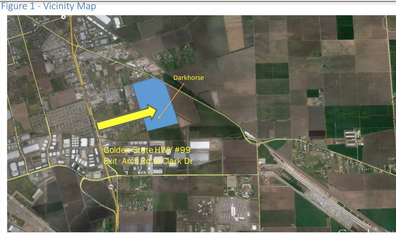
4522 Marfargoa Rd
Stockton-Lodi, CA
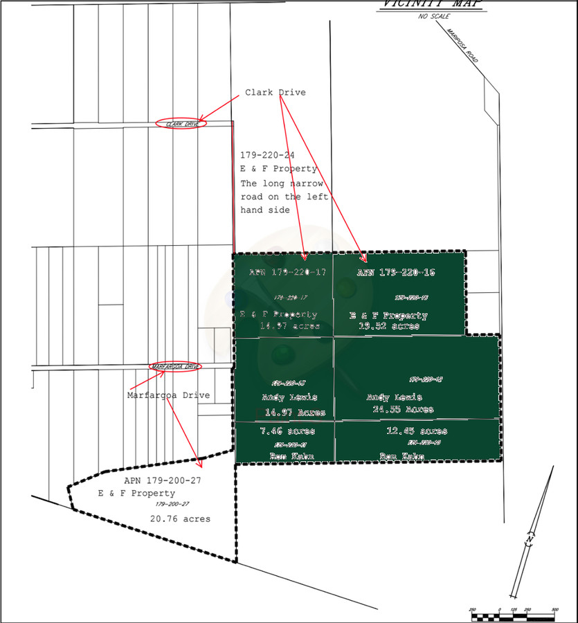
Weber Grant
179-220-13
85-ACREAGE CORRECTED PER REDRAW
Industrialacreage
San Joaquin
X
California
06077C0490F
131
2024
77.48 AC
2024
Stockton
003700
Stockton/Modesto
1,512 SF
DEMOGRAPHICS near 4522 Marfargoa Rd
1 Mile
3 Mile
5 Mile
2024 Total Population
1,041
31,247
105,790
2029 Population
1,075
32,758
111,088
Pop Growth 2024-2029
+ 3.27%
+ 4.84%
+ 5.01%
Average Age
37
35
35
2024 Total Households
319
7,675
27,973
HH Growth 2024-2029
+ 3.13%
+ 5.07%
+ 5.18%
Median Household Inc
$55,468
$50,081
$50,394
Avg Household Size
3.20
3.60
3.50
2024 Avg HH Vehicles
2.00
2.00
2.00
Median Home Value
$358,536
$292,166
$297,850
Median Year Built
1968
1980
1966
Nearby Places
- Restaurants
- Banks
- Shops
- Fitness
- Groceries
PUBLIC TRANSPORTATION
COMMUTER RAIL
Stockton (Altamont Corridor Express - Altamont Commuter Express (ACE))
DRIVE
WALK
Distance
Stockton (Altamont Corridor Express - Altamont Commuter Express (ACE))
13 min
7.9 mi
Stockton (San Joaquins - Amtrak)
DRIVE
WALK
Distance
Stockton (San Joaquins - Amtrak)
14 min
8.5 mi
AIRPORT
Stockton Metro
DRIVE
WALK
Distance
Stockton Metro
11 min
4.5 mi
Freight Ports
Port of Stockton
DRIVE
WALK
Distance
Port of Stockton
19 min
11.1 mi
SALE & LEASE HISTORY
LISTING DATE
SALE/LEASE

Nov 15, 2019
For Sale
Jun 23, 2020
For Sale
Nearby Properties
Address
Land Use
TOTAL SIZE
Lot Size
Zoning
Address
Land Use
TOTAL SIZE
Lot Size
Zoning
1,122,341 SF
61.64 AC
IL
Address
Land Use
TOTAL SIZE
Lot Size
Zoning
615,440 SF
76.23 AC
IG
Address
Land Use
TOTAL SIZE
Lot Size
Zoning
24,846 SF
66.15 AC
Address
Land Use
TOTAL SIZE
Lot Size
Zoning
749,983 SF
52.76 AC
Address
Land Use
TOTAL SIZE
Lot Size
Zoning
76.06 AC
Address
Land Use
TOTAL SIZE
Lot Size
Zoning
780,371 SF
46.04 AC
IG
Address
Land Use
TOTAL SIZE
Lot Size
Zoning
326,934 SF
56.52 AC
IG
Address
Land Use
TOTAL SIZE
Lot Size
Zoning
545,832 SF
29.07 AC
Address
Land Use
TOTAL SIZE
Lot Size
Zoning
574,560 SF
32.34 AC
Address
Land Use
TOTAL SIZE
Lot Size
Zoning
511,718 SF
21.18 AC
Address
Land Use
TOTAL SIZE
Lot Size
Zoning
506,844 SF
26.99 AC
Address
Land Use
TOTAL SIZE
Lot Size
Zoning
285,480 SF
15.70 AC
IL
Address
Land Use
TOTAL SIZE
Lot Size
Zoning
Address
Land Use
TOTAL SIZE
Lot Size
Zoning
735,980 SF
39.42 AC
Address
Land Use
TOTAL SIZE
Lot Size
Zoning
512,000 SF
20.16 AC
Address
Land Use
TOTAL SIZE
Lot Size
Zoning
521,500 SF
12.06 AC
Address
Land Use
TOTAL SIZE
Lot Size
Zoning
513,778 SF
11.88 AC
Address
Land Use
TOTAL SIZE
Lot Size
Zoning
388,183 SF
18.90 AC
Address
Land Use
TOTAL SIZE
Lot Size
Zoning
586,610 SF
27.36 AC
Address
Land Use
TOTAL SIZE
Lot Size
Zoning
383,382 SF
21.94 AC
IL
Address
Land Use
TOTAL SIZE
Lot Size
Zoning
350,892 SF
20.34 AC
Address
Land Use
TOTAL SIZE
Lot Size
Zoning
452,000 SF
20.42 AC
Address
Land Use
TOTAL SIZE
Lot Size
Zoning
171,900 SF
11.43 AC
Address
Land Use
TOTAL SIZE
Lot Size
Zoning
42,267 SF
10.53 AC
Address
Land Use
TOTAL SIZE
Lot Size
Zoning
2,600 SF
129.97 AC
IG
Address
Land Use
TOTAL SIZE
Lot Size
Zoning
223,470 SF
21.05 AC
Address
Land Use
TOTAL SIZE
Lot Size
Zoning
12.37 AC
Address
Land Use
TOTAL SIZE
Lot Size
Zoning
500,000 SF
28.38 AC
The World's #1 Commercial Real Estate Marketplace
Connect with us
© 2025 CoStar Group
The information above has been obtained from sources believed reliable. While we do not doubt its accuracy we have not verified it and make no guarantee, warranty or representation about it. It is your responsibility to independently confirm its accuracy and completeness. Any projections, opinions, assumptions, or estimates used are for example only and do not represent the current or future performance of the property. The value of this transaction to you depends on tax and other factors which should be evaluated by your tax, financial, and legal advisors. You and your advisors should conduct a careful, independent investigation of the property to determine to your satisfaction the suitability of the property for your needs.