Property Record
455 S 156Th St, Burien, WA 98148


NEARBY LISTINGS FOR SALE OR LEASE
Property Detail
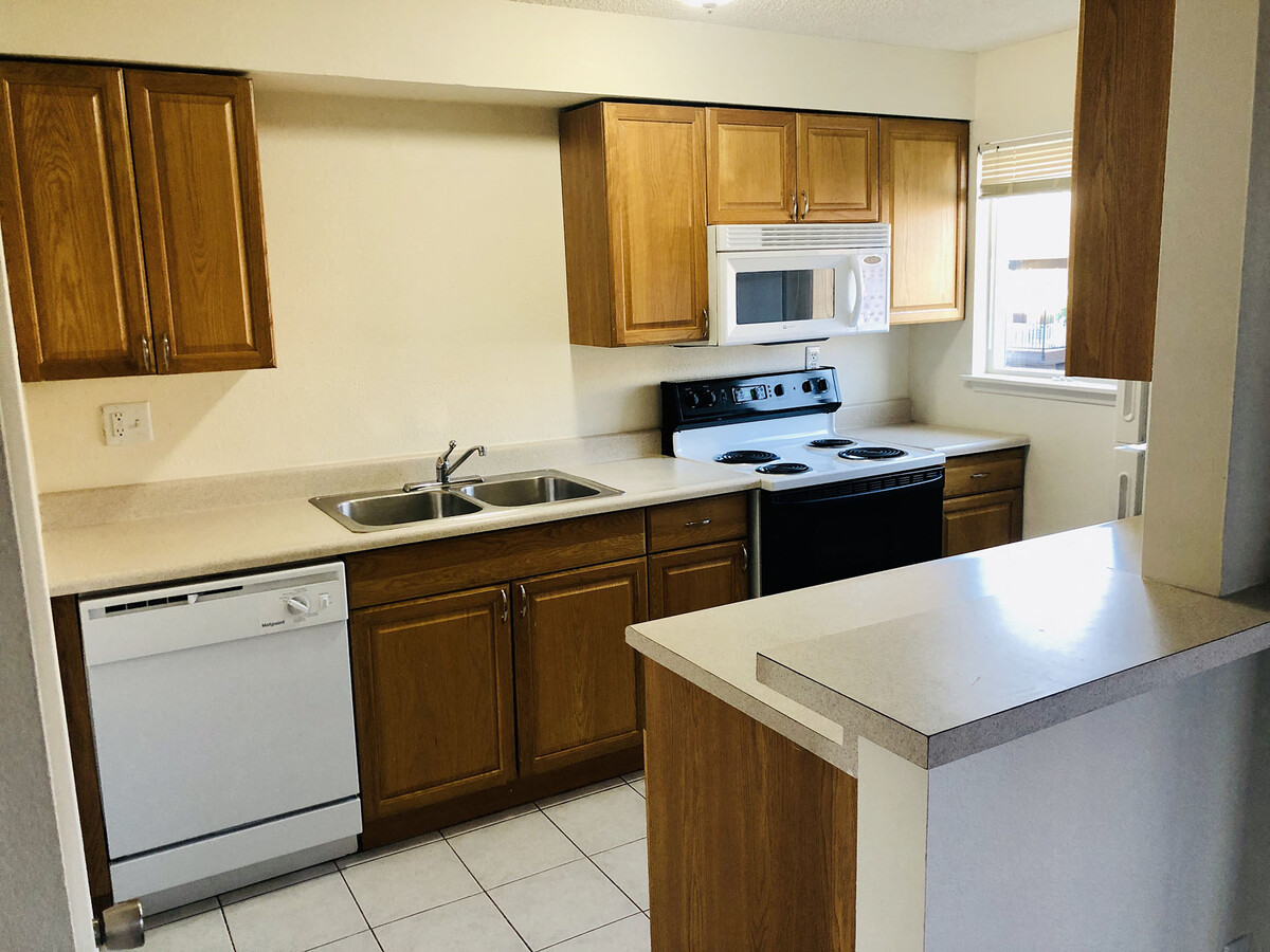
455 S 156Th St
Seattle-Tacoma-Bellevue, WA
Cambridge Square Apts
202304-9033
N 528 FT OF SE 1/4 OF SW 1/4 LESS E 701.50 FT LESS CO RDS
Apartment
King
X
Washington
53033C0954G
202304
2025
6.45 AC
2024
Seatac
028000
Seattle/Puget Sound
185,782 SF
DEMOGRAPHICS near 455 S 156Th St
1 Mile
3 Mile
5 Mile
2024 Total Population
12,372
98,172
206,079
2029 Population
12,629
98,487
206,856
Pop Growth 2024-2029
+ 2.08%
+ 0.32%
+ 0.38%
Average Age
40
40
40
2024 Total Households
5,108
35,769
76,102
HH Growth 2024-2029
+ 1.90%
+ 0.10%
+ 0.14%
Median Household Inc
$73,879
$84,666
$82,546
Avg Household Size
2.30
2.60
2.60
2024 Avg HH Vehicles
2.00
2.00
2.00
Median Home Value
$678,154
$563,941
$609,820
Median Year Built
1977
1966
1967
Nearby Places
- Restaurants
- Banks
- Shops
- Fitness
- Groceries
PUBLIC TRANSPORTATION
COMMUTER RAIL
Tukwila Station (Sounder South Line - Central Puget Sound Regional Transit Authority Rail (Link Light Rail/Sounder))
DRIVE
WALK
Distance
Tukwila Station (Sounder South Line - Central Puget Sound Regional Transit Authority Rail (Link Light Rail/Sounder))
8 min
4.9 mi
AIRPORT
Seattle-Tacoma International
DRIVE
WALK
Distance
Seattle-Tacoma International
9 min
3.6 mi
Freight Ports
Port of Seattle
DRIVE
WALK
Distance
Port of Seattle
17 min
9.1 mi
Nearby Properties
Address
Land Use
TOTAL SIZE
Lot Size
Zoning
Address
Land Use
TOTAL SIZE
Lot Size
Zoning
31,032 SF
1,746.88 AC
AVO
Address
Land Use
TOTAL SIZE
Lot Size
Zoning
704,186 SF
21.86 AC
I
Address
Land Use
TOTAL SIZE
Lot Size
Zoning
213,468 SF
23.67 AC
CB-C
Address
Land Use
TOTAL SIZE
Lot Size
Zoning
298,150 SF
9.17 AC
CB-C
Address
Land Use
TOTAL SIZE
Lot Size
Zoning
230,950 SF
6.56 AC
CBP
Address
Land Use
TOTAL SIZE
Lot Size
Zoning
139,868 SF
6.64 AC
O
Address
Land Use
TOTAL SIZE
Lot Size
Zoning
463,722 SF
25.21 AC
RM-18
Address
Land Use
TOTAL SIZE
Lot Size
Zoning
130,200 SF
9.55 AC
CB-C
Address
Land Use
TOTAL SIZE
Lot Size
Zoning
555,036 SF
9.13 AC
MIC/L
Address
Land Use
TOTAL SIZE
Lot Size
Zoning
325,494 SF
23.53 AC
AI-2
Address
Land Use
TOTAL SIZE
Lot Size
Zoning
226,771 SF
14.95 AC
CB-C
Address
Land Use
TOTAL SIZE
Lot Size
Zoning
236,919 SF
13.40 AC
AI-1
Address
Land Use
TOTAL SIZE
Lot Size
Zoning
256,409 SF
17.60 AC
RS-7200
Address
Land Use
TOTAL SIZE
Lot Size
Zoning
19,008 SF
12.79 AC
RBX
Address
Land Use
TOTAL SIZE
Lot Size
Zoning
140,000 SF
19.42 AC
UL-7200
Address
Land Use
TOTAL SIZE
Lot Size
Zoning
43,916 SF
9.93 AC
UH-900
Address
Land Use
TOTAL SIZE
Lot Size
Zoning
150,150 SF
9.81 AC
HDR
Address
Land Use
TOTAL SIZE
Lot Size
Zoning
116,365 SF
2.64 AC
UH-UCR
Address
Land Use
TOTAL SIZE
Lot Size
Zoning
596,532 SF
0.64 AC
CB-C
Address
Land Use
TOTAL SIZE
Lot Size
Zoning
153,668 SF
6.90 AC
RM-24
Address
Land Use
TOTAL SIZE
Lot Size
Zoning
24,240 SF
8 AC
DC
Address
Land Use
TOTAL SIZE
Lot Size
Zoning
132,662 SF
2.38 AC
CB-C
Address
Land Use
TOTAL SIZE
Lot Size
Zoning
40,500 SF
10.68 AC
C/LI
Address
Land Use
TOTAL SIZE
Lot Size
Zoning
236,004 SF
8.52 AC
MIC/H
Address
Land Use
TOTAL SIZE
Lot Size
Zoning
125,403 SF
24.64 AC
LDR
Address
Land Use
TOTAL SIZE
Lot Size
Zoning
117,218 SF
7.04 AC
CB-C
Address
Land Use
TOTAL SIZE
Lot Size
Zoning
27,330 SF
9.13 AC
I
Address
Land Use
TOTAL SIZE
Lot Size
Zoning
103,680 SF
3.82 AC
RM-48
The World's #1 Commercial Real Estate Marketplace
Connect with us
© 2025 CoStar Group
The information above has been obtained from sources believed reliable. While we do not doubt its accuracy we have not verified it and make no guarantee, warranty or representation about it. It is your responsibility to independently confirm its accuracy and completeness. Any projections, opinions, assumptions, or estimates used are for example only and do not represent the current or future performance of the property. The value of this transaction to you depends on tax and other factors which should be evaluated by your tax, financial, and legal advisors. You and your advisors should conduct a careful, independent investigation of the property to determine to your satisfaction the suitability of the property for your needs.