Property Record
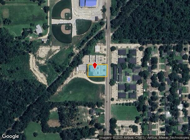
46115 N Morrison Blvd, Hammond, LA 70401

NEARBY LISTINGS FOR SALE OR LEASE
Property Detail
46115 N Morrison Blvd
04675509
0.55A IN SEC 15 T6SR7E B593 B593 P896-899 B767 P563 B1479 P17 B1481 P170 B1636 P95 B1636 P99
Commercialnec
Tangipahoa
AE
Louisiana
22105C0340F
0.55 AC
2023
Louisiana South Area
2023
Other Market Areas
953901
Hammond, LA
2,500 SF
DEMOGRAPHICS near 46115 N Morrison Blvd
1 Mile
3 Mile
5 Mile
2024 Total Population
6,061
30,298
56,451
2029 Population
6,572
32,806
61,098
Pop Growth 2024-2029
+ 8.43%
+ 8.28%
+ 8.23%
Average Age
32
35
37
2024 Total Households
2,315
11,555
21,866
HH Growth 2024-2029
+ 8.68%
+ 8.39%
+ 8.30%
Median Household Inc
$40,024
$41,333
$47,465
Avg Household Size
2.20
2.30
2.40
2024 Avg HH Vehicles
1.00
2.00
2.00
Median Home Value
$185,202
$182,593
$192,501
Median Year Built
1984
1986
1990
Nearby Places
- Restaurants
- Banks
- Shops
- Fitness
- Groceries
PUBLIC TRANSPORTATION
COMMUTER RAIL
Hammond Amtrak Station (City of New Orleans - Amtrak)
DRIVE
WALK
Distance
Hammond Amtrak Station (City of New Orleans - Amtrak)
4 min
2.1 mi
Freight Ports
Port of Greater Baton Rouge
DRIVE
WALK
Distance
Port of Greater Baton Rouge
61 min
50.0 mi
SALE & LEASE HISTORY
LISTING DATE
SALE/LEASE

Oct 23, 2022
For Lease
Nearby Properties
Address
Land Use
TOTAL SIZE
Lot Size
Zoning
Address
Land Use
TOTAL SIZE
Lot Size
Zoning
491,200 SF
67.96 AC
Address
Land Use
TOTAL SIZE
Lot Size
Zoning
126,240 SF
17.06 AC
Address
Land Use
TOTAL SIZE
Lot Size
Zoning
1.74 AC
Address
Land Use
TOTAL SIZE
Lot Size
Zoning
Address
Land Use
TOTAL SIZE
Lot Size
Zoning
154,391 SF
12.30 AC
Address
Land Use
TOTAL SIZE
Lot Size
Zoning
1.56 AC
Address
Land Use
TOTAL SIZE
Lot Size
Zoning
432 SF
14.80 AC
Address
Land Use
TOTAL SIZE
Lot Size
Zoning
199,026 SF
33 AC
Address
Land Use
TOTAL SIZE
Lot Size
Zoning
147.07 AC
Address
Land Use
TOTAL SIZE
Lot Size
Zoning
108,000 SF
9.78 AC
Address
Land Use
TOTAL SIZE
Lot Size
Zoning
135,524 SF
31.08 AC
Address
Land Use
TOTAL SIZE
Lot Size
Zoning
60,480 SF
7.28 AC
Address
Land Use
TOTAL SIZE
Lot Size
Zoning
80,506 SF
13.99 AC
Address
Land Use
TOTAL SIZE
Lot Size
Zoning
96,994 SF
4.21 AC
Address
Land Use
TOTAL SIZE
Lot Size
Zoning
172,640 SF
8.14 AC
Address
Land Use
TOTAL SIZE
Lot Size
Zoning
2.07 AC
Address
Land Use
TOTAL SIZE
Lot Size
Zoning
864 SF
0.51 AC
Address
Land Use
TOTAL SIZE
Lot Size
Zoning
84,150 SF
5.47 AC
Address
Land Use
TOTAL SIZE
Lot Size
Zoning
1.99 AC
Address
Land Use
TOTAL SIZE
Lot Size
Zoning
30,000 SF
7.98 AC
Address
Land Use
TOTAL SIZE
Lot Size
Zoning
28,098 SF
4.61 AC
Address
Land Use
TOTAL SIZE
Lot Size
Zoning
104,140 SF
7.20 AC
Address
Land Use
TOTAL SIZE
Lot Size
Zoning
14,738 SF
2.02 AC
Address
Land Use
TOTAL SIZE
Lot Size
Zoning
13,670 SF
5.95 AC
Address
Land Use
TOTAL SIZE
Lot Size
Zoning
15,636 SF
5.15 AC
Address
Land Use
TOTAL SIZE
Lot Size
Zoning
0.97 AC
Address
Land Use
TOTAL SIZE
Lot Size
Zoning
49,410 SF
2.48 AC
Address
Land Use
TOTAL SIZE
Lot Size
Zoning
21,450 SF
12 AC
Address
Land Use
TOTAL SIZE
Lot Size
Zoning
33,506 SF
4.20 AC
Address
Land Use
TOTAL SIZE
Lot Size
Zoning
20,194 SF
4.60 AC
The World's #1 Commercial Real Estate Marketplace
Connect with us
© 2025 CoStar Group
The information above has been obtained from sources believed reliable. While we do not doubt its accuracy we have not verified it and make no guarantee, warranty or representation about it. It is your responsibility to independently confirm its accuracy and completeness. Any projections, opinions, assumptions, or estimates used are for example only and do not represent the current or future performance of the property. The value of this transaction to you depends on tax and other factors which should be evaluated by your tax, financial, and legal advisors. You and your advisors should conduct a careful, independent investigation of the property to determine to your satisfaction the suitability of the property for your needs.