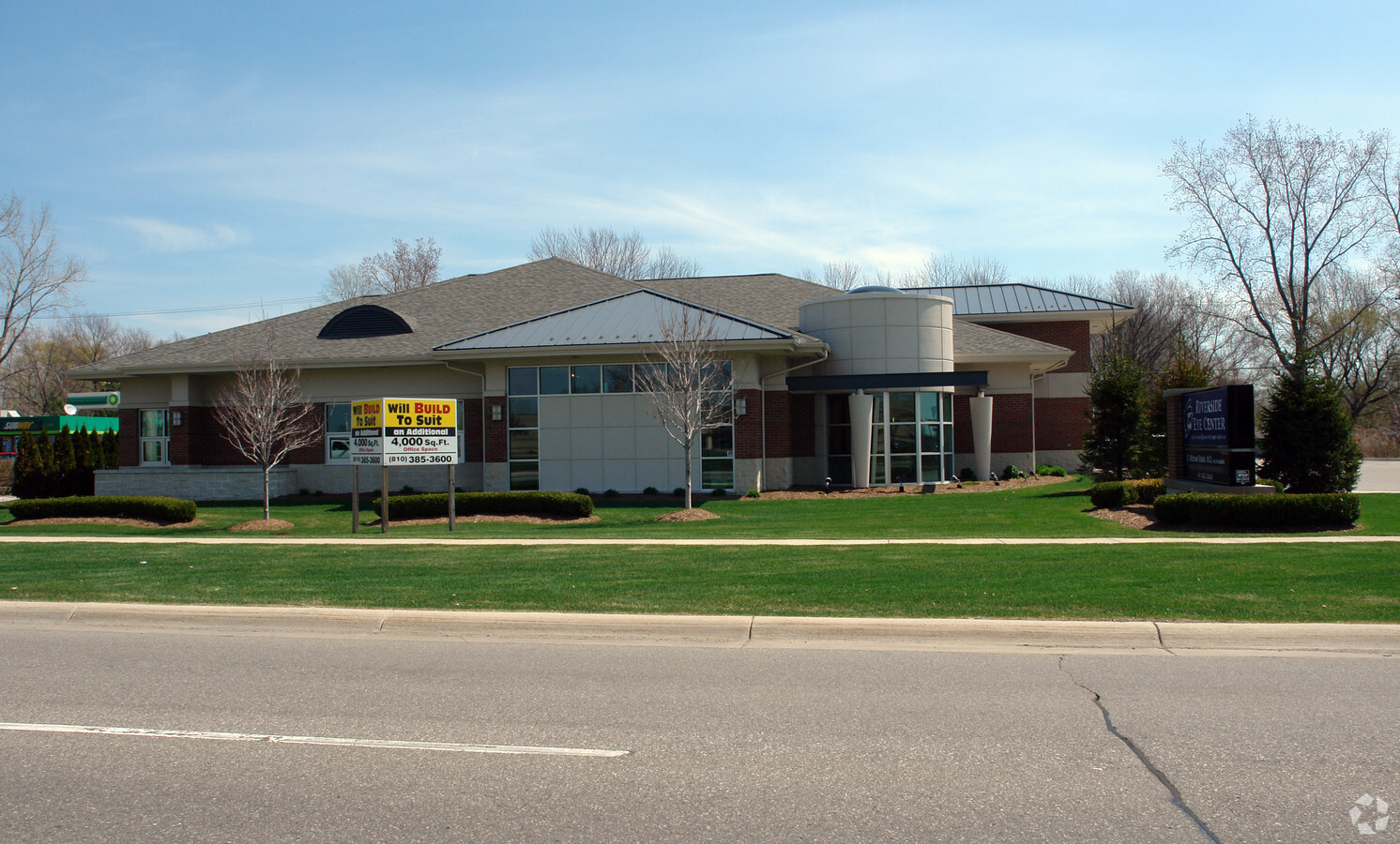
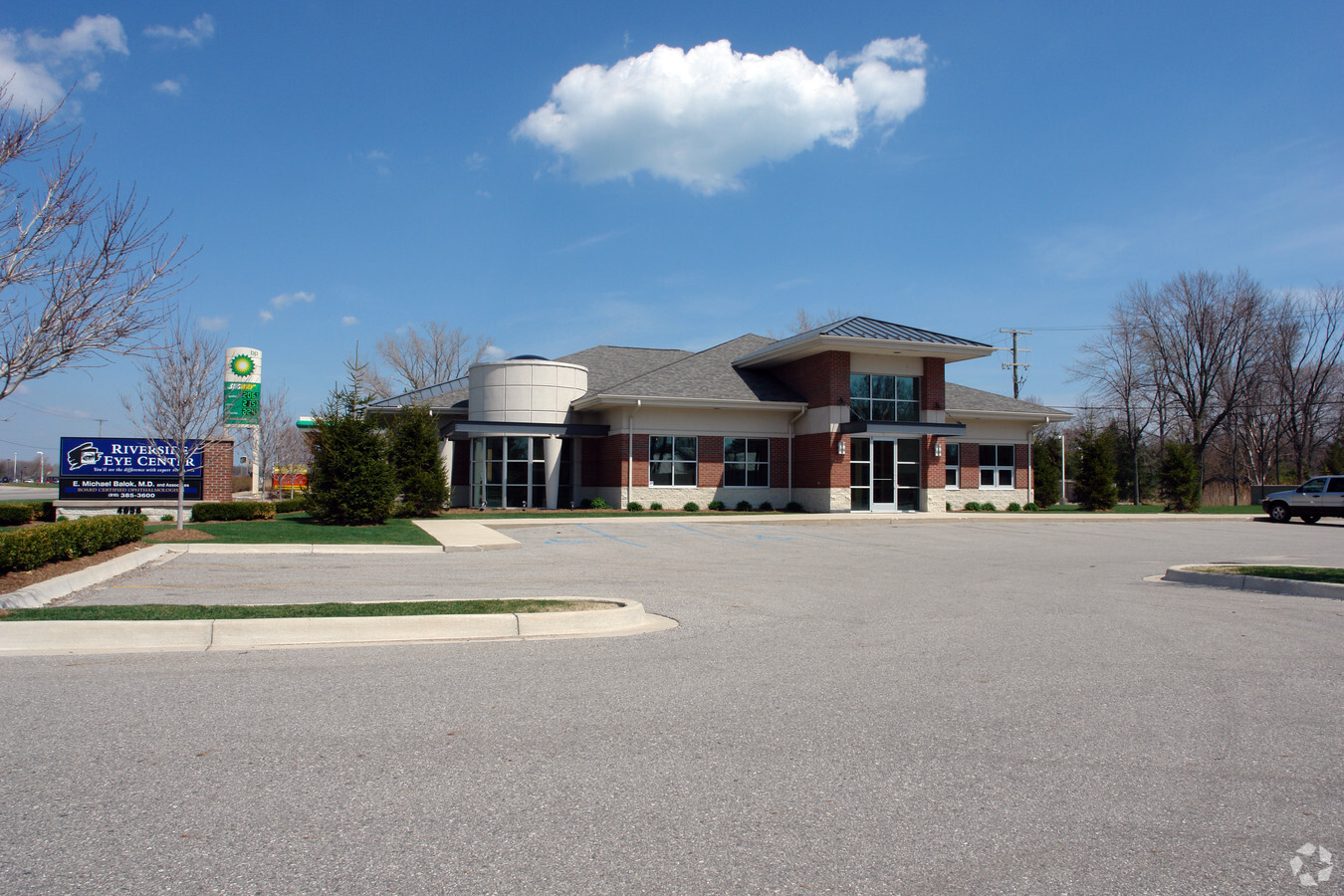
Property Record
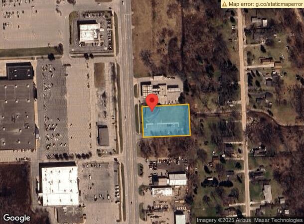
4656 24Th Ave, Fort Gratiot, MI 48059
NEARBY LISTINGS FOR SALE OR LEASE
Property Detail
4656 24Th Ave
20-015-4049-001
BEG S 0D 15M 0S W 1087.52' FROM W 1/4 COR, TH S 0D 15M 0S W 117.43', TH N 89D 55M 23S E 330', TH N 0D 15M 0S E 176.15', TH S
Commercialnec
St. Clair
X
Michigan
26147C0237E
1.33 AC
2024
St Clair & Lapeer Counties
2024
Detroit
631600
Detroit-Warren-Dearborn, MI
6,095 SF
DEMOGRAPHICS near 4656 24Th Ave
1 Mile
3 Mile
5 Mile
2024 Total Population
2,232
17,656
40,277
2029 Population
2,266
17,679
40,280
Pop Growth 2024-2029
+ 1.52%
+ 0.13%
+ 0.01%
Average Age
52
45
43
2024 Total Households
1,241
7,913
17,177
HH Growth 2024-2029
+ 1.37%
+ 0.06%
(0.04%)
Median Household Inc
$48,683
$67,525
$58,626
Avg Household Size
1.80
2.20
2.30
2024 Avg HH Vehicles
1.00
2.00
2.00
Median Home Value
$164,766
$195,176
$176,090
Median Year Built
1983
1972
1969
Nearby Places
- Restaurants
- Banks
- Shops
- Fitness
- Groceries
PUBLIC TRANSPORTATION
COMMUTER RAIL
Port Huron Amtrak Station (Blue Water - Amtrak)
DRIVE
WALK
Distance
Port Huron Amtrak Station (Blue Water - Amtrak)
13 min
7.2 mi
Sarnia (Toronto - Sarnia - VIA Rail)
DRIVE
WALK
Distance
Sarnia (Toronto - Sarnia - VIA Rail)
18 min
8.7 mi
Freight Ports
Port of Toledo
DRIVE
WALK
Distance
Port of Toledo
149 min
124.9 mi
Nearby Properties
Address
Land Use
TOTAL SIZE
Lot Size
Zoning
Address
Land Use
TOTAL SIZE
Lot Size
Zoning
224,037 SF
27.26 AC
C-2*
Address
Land Use
TOTAL SIZE
Lot Size
Zoning
14.34 AC
Address
Land Use
TOTAL SIZE
Lot Size
Zoning
442,197 SF
43.84 AC
C-2*
Address
Land Use
TOTAL SIZE
Lot Size
Zoning
27,675 SF
9.17 AC
C-2*
Address
Land Use
TOTAL SIZE
Lot Size
Zoning
216,125 SF
27.95 AC
C-2*
Address
Land Use
TOTAL SIZE
Lot Size
Zoning
72,725 SF
7.43 AC
RM*
Address
Land Use
TOTAL SIZE
Lot Size
Zoning
105,970 SF
7.25 AC
R-1A*/SPCL
Address
Land Use
TOTAL SIZE
Lot Size
Zoning
45,723 SF
8.81 AC
C-2*
Address
Land Use
TOTAL SIZE
Lot Size
Zoning
137,905 SF
17.26 AC
C-2*
Address
Land Use
TOTAL SIZE
Lot Size
Zoning
45,863 SF
10.45 AC
C-2*
Address
Land Use
TOTAL SIZE
Lot Size
Zoning
58,052 SF
16.98 AC
RM*
Address
Land Use
TOTAL SIZE
Lot Size
Zoning
Address
Land Use
TOTAL SIZE
Lot Size
Zoning
12.31 AC
C1
Address
Land Use
TOTAL SIZE
Lot Size
Zoning
Address
Land Use
TOTAL SIZE
Lot Size
Zoning
123,394 SF
3.10 AC
A1
Address
Land Use
TOTAL SIZE
Lot Size
Zoning
101,737 SF
7.40 AC
C-2*
Address
Land Use
TOTAL SIZE
Lot Size
Zoning
13.80 AC
Address
Land Use
TOTAL SIZE
Lot Size
Zoning
93,191 SF
6.20 AC
A1
Address
Land Use
TOTAL SIZE
Lot Size
Zoning
97,236 SF
8.43 AC
RM*
Address
Land Use
TOTAL SIZE
Lot Size
Zoning
4.12 AC
Address
Land Use
TOTAL SIZE
Lot Size
Zoning
46,542 SF
4.96 AC
C-2*
Address
Land Use
TOTAL SIZE
Lot Size
Zoning
50,851 SF
4.42 AC
C-2*
Address
Land Use
TOTAL SIZE
Lot Size
Zoning
4.87 AC
C-2*
Address
Land Use
TOTAL SIZE
Lot Size
Zoning
87,624 SF
11.32 AC
RM*
Address
Land Use
TOTAL SIZE
Lot Size
Zoning
100,144 SF
10 AC
A1
Address
Land Use
TOTAL SIZE
Lot Size
Zoning
93,542 SF
8.09 AC
C1
Address
Land Use
TOTAL SIZE
Lot Size
Zoning
90,243 SF
6.68 AC
C-2*
Address
Land Use
TOTAL SIZE
Lot Size
Zoning
108,976 SF
12.36 AC
A1
Address
Land Use
TOTAL SIZE
Lot Size
Zoning
19,840 SF
137 AC
R-1A*
Address
Land Use
TOTAL SIZE
Lot Size
Zoning
66,544 SF
5.55 AC
C-2*
The World's #1 Commercial Real Estate Marketplace
Connect with us
© 2025 CoStar Group
The information above has been obtained from sources believed reliable. While we do not doubt its accuracy we have not verified it and make no guarantee, warranty or representation about it. It is your responsibility to independently confirm its accuracy and completeness. Any projections, opinions, assumptions, or estimates used are for example only and do not represent the current or future performance of the property. The value of this transaction to you depends on tax and other factors which should be evaluated by your tax, financial, and legal advisors. You and your advisors should conduct a careful, independent investigation of the property to determine to your satisfaction the suitability of the property for your needs.