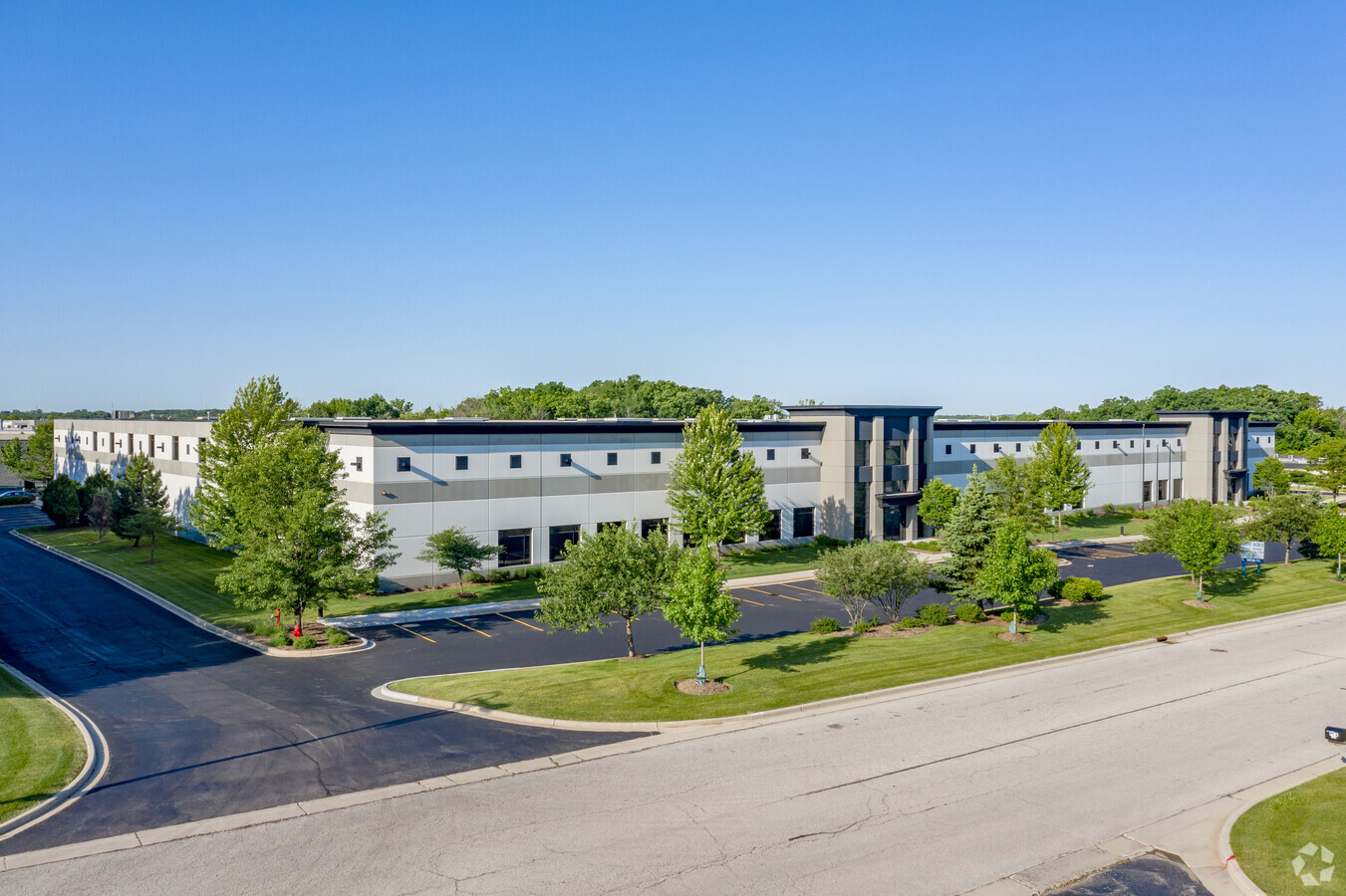
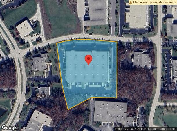
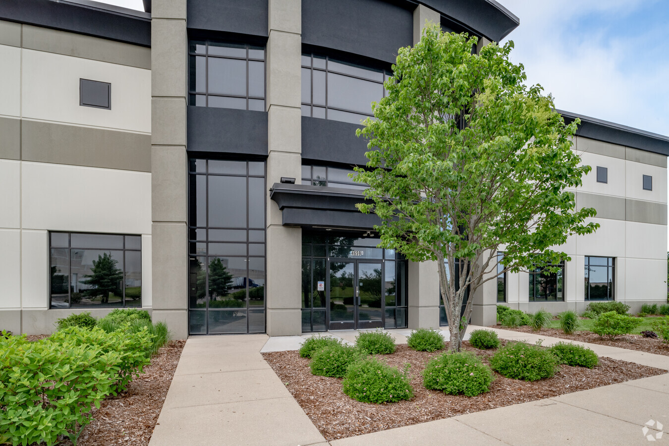
Property Record
4659 W Basswood Dr, Franklin, WI 53132
NEARBY LISTINGS FOR SALE OR LEASE
Property Detail
4659 W Basswood Dr
Milwaukee-Waukesha-West Allis, WI
Franklin Bus Park Add 01
900-0012-001
CERTIFIED SURVEY MAP NO 6563 E 1/2 26 5 21 PARCEL 1
Commercialnec
Milwaukee
X
Wisconsin
55101C0076D
1
2023
7.61 AC
2023
SW Outlying Milwaukee
187200
Milwaukee/Madison
129,024 SF
DEMOGRAPHICS near 4659 W Basswood Dr
1 Mile
3 Mile
5 Mile
2024 Total Population
2,404
21,590
68,879
2029 Population
2,338
21,029
67,185
Pop Growth 2024-2029
(2.75%)
(2.60%)
(2.46%)
Average Age
41
41
42
2024 Total Households
866
7,908
27,404
HH Growth 2024-2029
(2.66%)
(2.86%)
(2.53%)
Median Household Inc
$142,646
$99,342
$87,763
Avg Household Size
2.70
2.50
2.40
2024 Avg HH Vehicles
2.00
2.00
2.00
Median Home Value
$350,919
$326,725
$292,026
Median Year Built
1990
1992
1987
Nearby Places
- Restaurants
- Banks
- Shops
- Fitness
- Groceries
PUBLIC TRANSPORTATION
COMMUTER RAIL
General Mitchell Intl. Airport Amtrak Station (Hiawatha Service - Amtrak)
DRIVE
WALK
Distance
General Mitchell Intl. Airport Amtrak Station (Hiawatha Service - Amtrak)
16 min
8.2 mi
AIRPORT
General Mitchell International
DRIVE
WALK
Distance
General Mitchell International
16 min
9.1 mi
Freight Ports
Port Milwaukee
DRIVE
WALK
Distance
Port Milwaukee
21 min
13.0 mi
SALE & LEASE HISTORY
LISTING DATE
SALE/LEASE

Sep 25, 2016
For Lease
Mar 01, 2022
For Lease
Dec 19, 2017
For Lease
Aug 31, 2017
For Lease
Nearby Properties
Address
Land Use
TOTAL SIZE
Lot Size
Zoning
Address
Land Use
TOTAL SIZE
Lot Size
Zoning
75.05 AC
Address
Land Use
TOTAL SIZE
Lot Size
Zoning
48.56 AC
RESIDENTIA
Address
Land Use
TOTAL SIZE
Lot Size
Zoning
48.65 AC
Address
Land Use
TOTAL SIZE
Lot Size
Zoning
8.79 AC
RESIDENTIA
Address
Land Use
TOTAL SIZE
Lot Size
Zoning
42.96 AC
Address
Land Use
TOTAL SIZE
Lot Size
Zoning
64,800 SF
28.17 AC
Address
Land Use
TOTAL SIZE
Lot Size
Zoning
14.82 AC
RESIDENTIA
Address
Land Use
TOTAL SIZE
Lot Size
Zoning
18.39 AC
RESIDENTIA
Address
Land Use
TOTAL SIZE
Lot Size
Zoning
19.25 AC
Address
Land Use
TOTAL SIZE
Lot Size
Zoning
26.03 AC
Address
Land Use
TOTAL SIZE
Lot Size
Zoning
18.44 AC
RESIDENTIA
Address
Land Use
TOTAL SIZE
Lot Size
Zoning
42,253 SF
6.02 AC
Address
Land Use
TOTAL SIZE
Lot Size
Zoning
57,474 SF
5.07 AC
Address
Land Use
TOTAL SIZE
Lot Size
Zoning
21.21 AC
Address
Land Use
TOTAL SIZE
Lot Size
Zoning
12.45 AC
Address
Land Use
TOTAL SIZE
Lot Size
Zoning
Address
Land Use
TOTAL SIZE
Lot Size
Zoning
17.47 AC
Address
Land Use
TOTAL SIZE
Lot Size
Zoning
13.56 AC
Address
Land Use
TOTAL SIZE
Lot Size
Zoning
12.31 AC
Address
Land Use
TOTAL SIZE
Lot Size
Zoning
Address
Land Use
TOTAL SIZE
Lot Size
Zoning
14.91 AC
RESIDENTIA
Address
Land Use
TOTAL SIZE
Lot Size
Zoning
13.16 AC
Address
Land Use
TOTAL SIZE
Lot Size
Zoning
Address
Land Use
TOTAL SIZE
Lot Size
Zoning
95.21 AC
Address
Land Use
TOTAL SIZE
Lot Size
Zoning
4.46 AC
RESIDENTIA
Address
Land Use
TOTAL SIZE
Lot Size
Zoning
131,004 SF
6.88 AC
Address
Land Use
TOTAL SIZE
Lot Size
Zoning
411,369 SF
53.72 AC
Address
Land Use
TOTAL SIZE
Lot Size
Zoning
10.75 AC
Address
Land Use
TOTAL SIZE
Lot Size
Zoning
13.04 AC
The World's #1 Commercial Real Estate Marketplace
Connect with us
© 2025 CoStar Group
The information above has been obtained from sources believed reliable. While we do not doubt its accuracy we have not verified it and make no guarantee, warranty or representation about it. It is your responsibility to independently confirm its accuracy and completeness. Any projections, opinions, assumptions, or estimates used are for example only and do not represent the current or future performance of the property. The value of this transaction to you depends on tax and other factors which should be evaluated by your tax, financial, and legal advisors. You and your advisors should conduct a careful, independent investigation of the property to determine to your satisfaction the suitability of the property for your needs.